Athol is a city in Kootenai County, Idaho, United States. The population was 709 at the 2020 census, up from 692 in 2010 census. It is part of the Coeur d’Alene Metropolitan Statistical Area, which includes the entire county.
Athol is notable for being the location of Silverwood theme park. Several miles east of town is historic Farragut State Park, located at the southern end of Lake Pend Oreille. Once completed, the planned Dollar General location will be the chain’s first storefront in the state of Idaho.
| Name: | Athol city |
|---|---|
| LSAD Code: | 25 |
| LSAD Description: | city (suffix) |
| State: | Idaho |
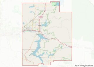
| County: | Kootenai County |
| Incorporated: | 1909 |
| Elevation: | 2,392 ft (729 m) |
| Total Area: | 0.89 sq mi (2.30 km²) |
| Land Area: | 0.89 sq mi (2.30 km²) |
| Water Area: | 0.00 sq mi (0.00 km²) |
| Total Population: | 709 |
| Population Density: | 796.63/sq mi (307.58/km²) |
| ZIP code: | 83801 |
| Area code: | 208 |
| FIPS code: | 1603700 |
| GNISfeature ID: | 0376763 |
| Website: | cityofathol.us |
Online Interactive Map
Click on ![]() to view map in "full screen" mode.
to view map in "full screen" mode.
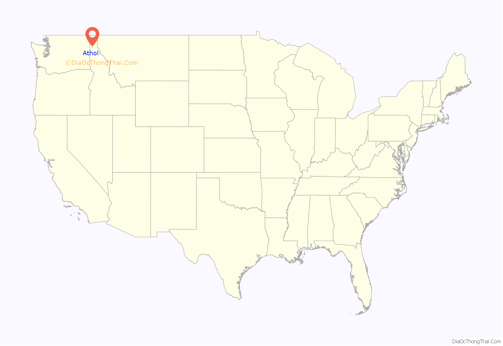
Athol location map. Where is Athol city?
History
A post office called Athol has been in operation since 1895. The city may be named after the Duke of Atholl.
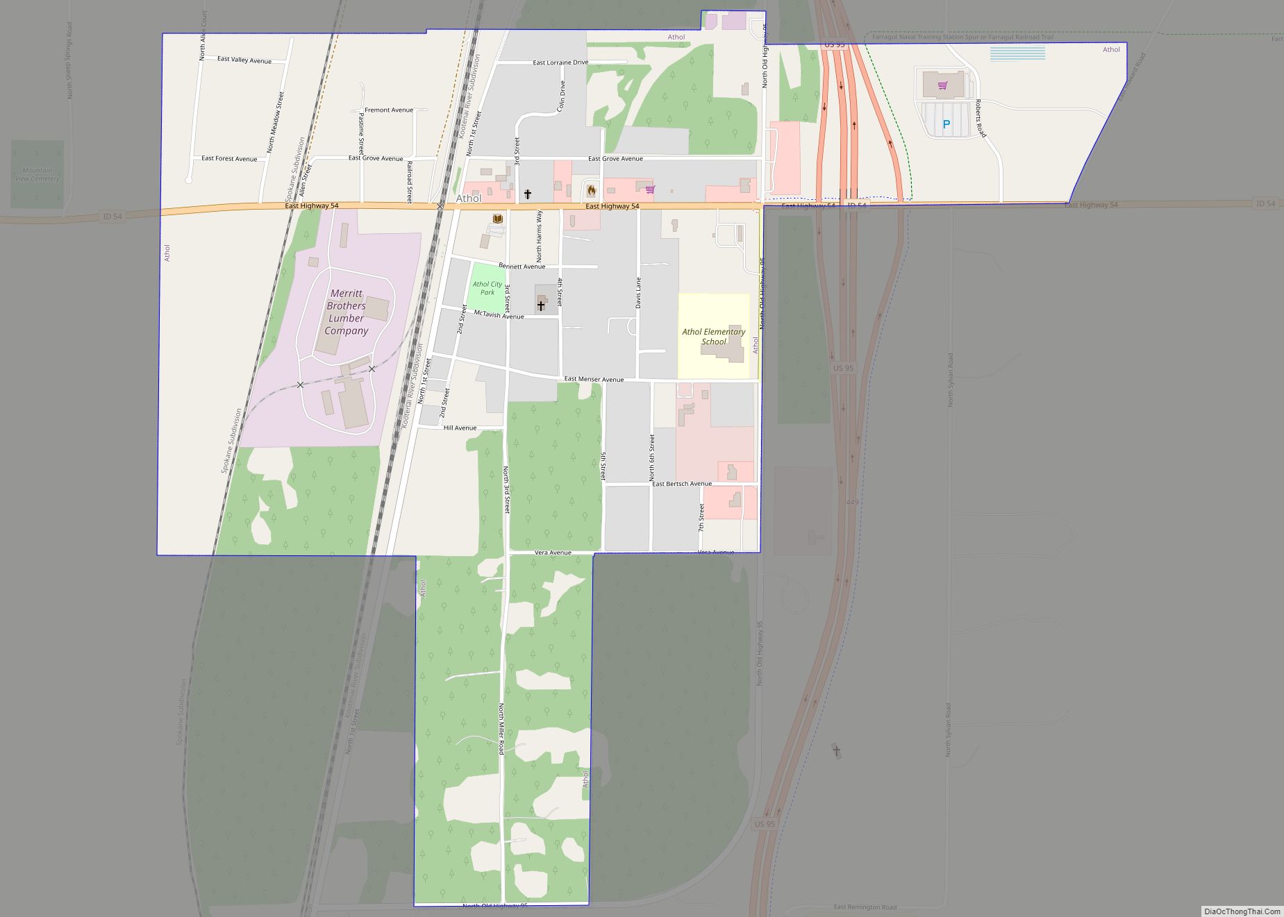
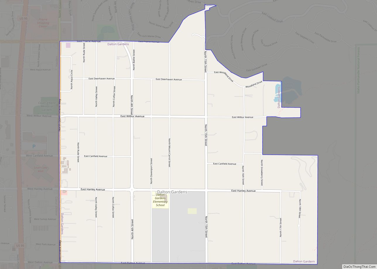
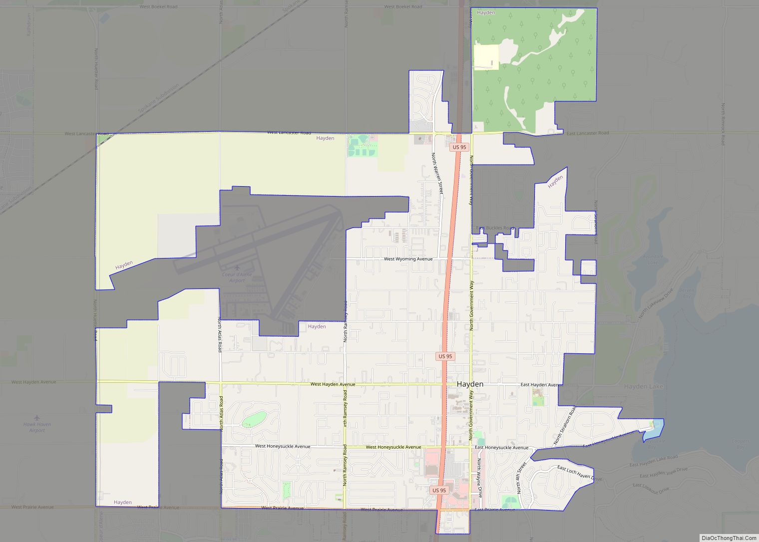
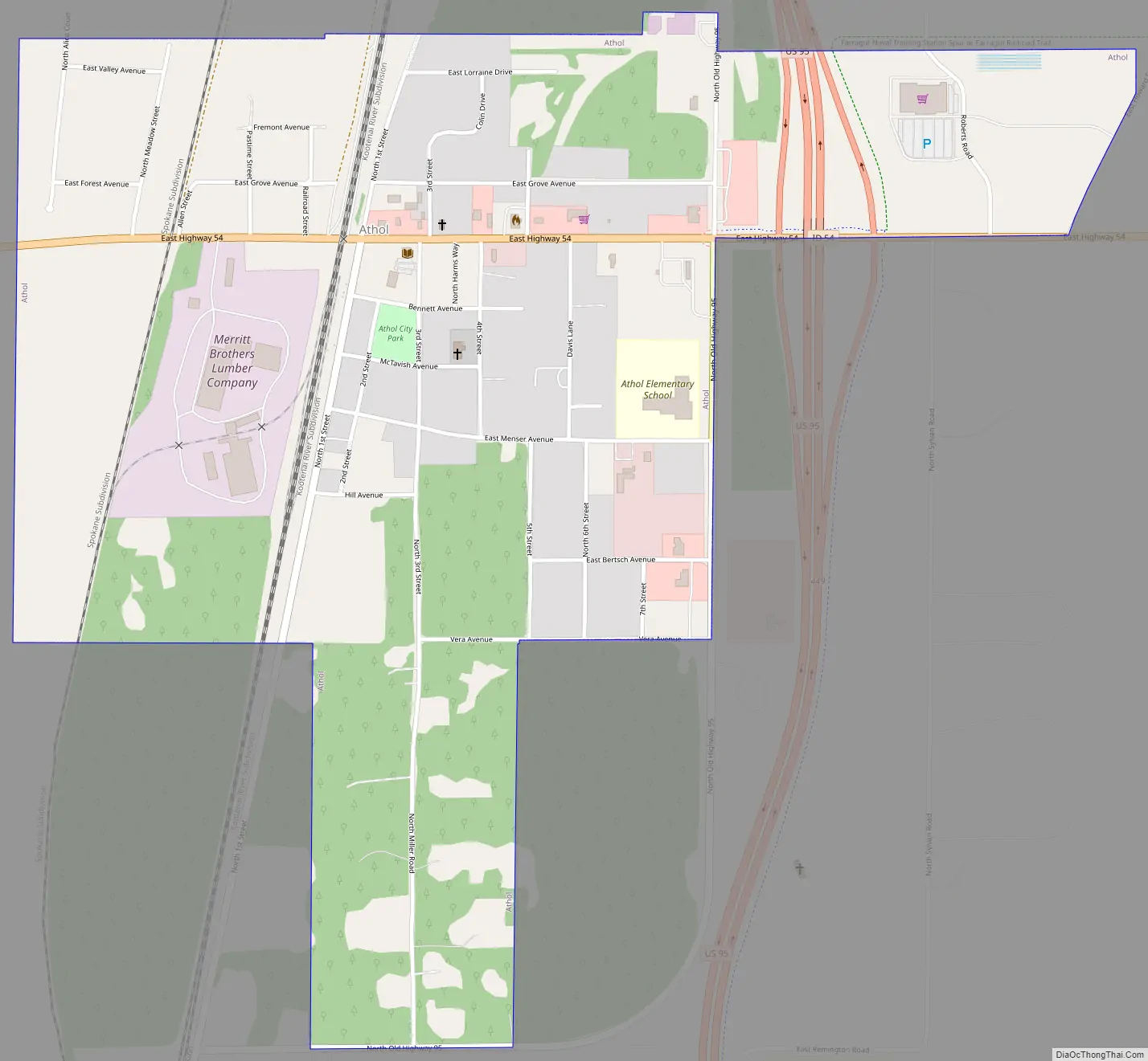
Athol Road Map
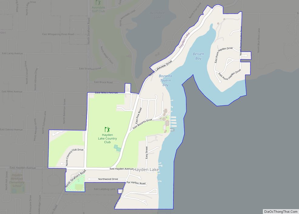
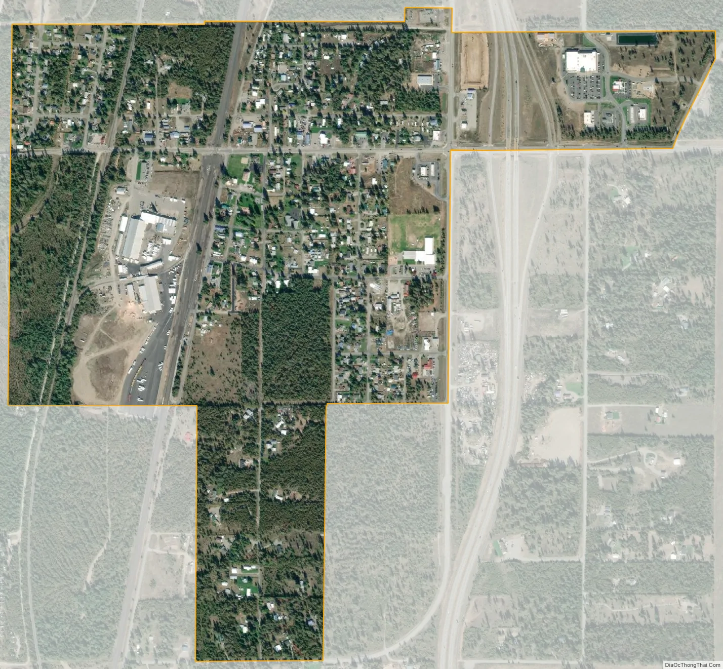
Athol city Satellite Map
Geography
Athol is located at 47°56′46″N 116°42′26″W / 47.94611°N 116.70722°W / 47.94611; -116.70722 (47.946024, -116.707349), at an elevation of 2,392 feet (729 m) above sea level.
According to the United States Census Bureau, the city has a total area of 0.79 square miles (2.05 km), all of it land.
See also
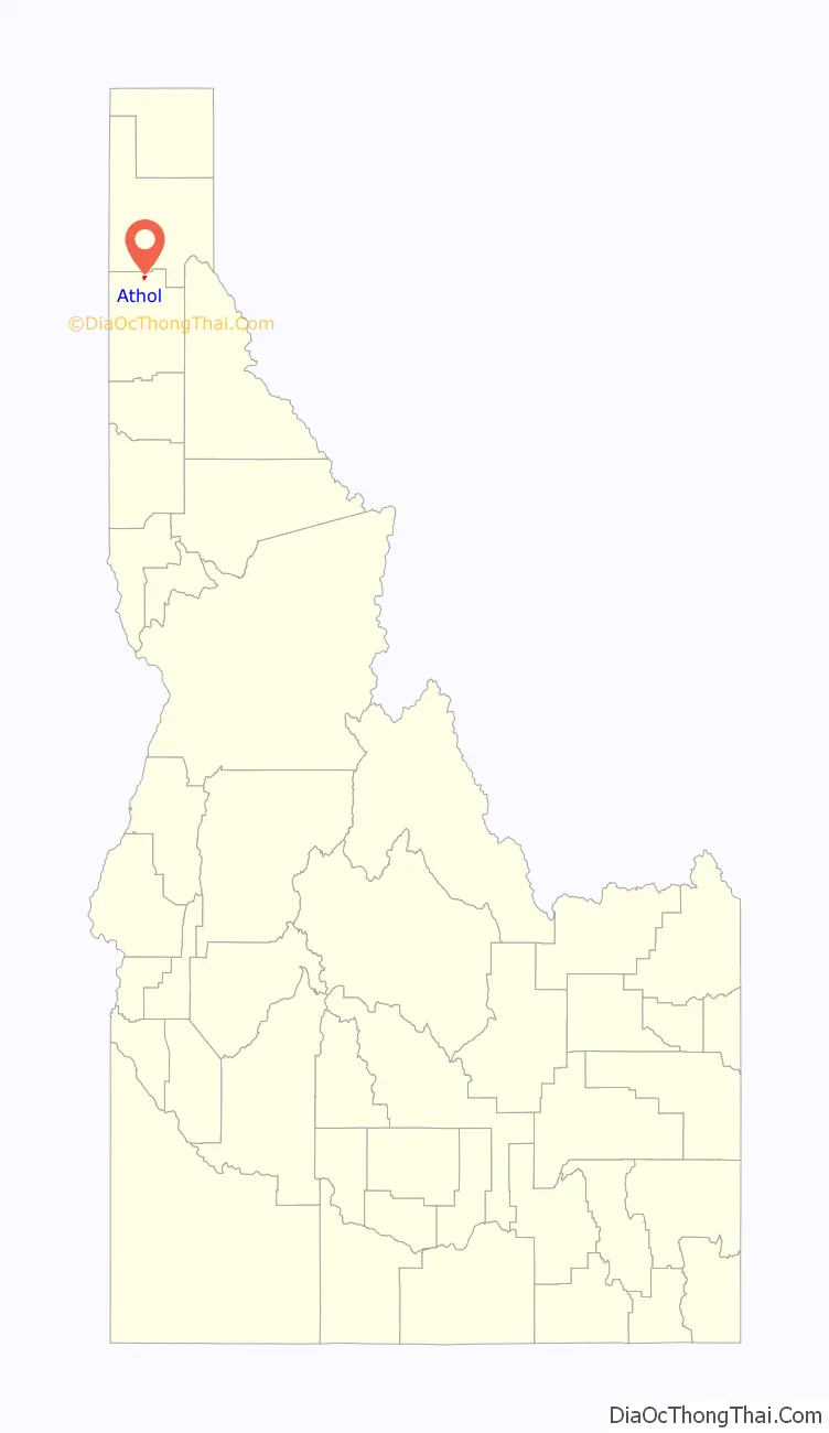
Map of Idaho State and its subdivision:- Ada
- Adams
- Bannock
- Bear Lake
- Benewah
- Bingham
- Blaine
- Boise
- Bonner
- Bonneville
- Boundary
- Butte
- Camas
- Canyon
- Caribou
- Cassia
- Clark
- Clearwater
- Custer
- Elmore
- Franklin
- Fremont
- Gem
- Gooding
- Idaho
- Jefferson
- Jerome
- Kootenai
- Latah
- Lemhi
- Lewis
- Lincoln
- Madison
- Minidoka
- Nez Perce
- Oneida
- Owyhee
- Payette
- Power
- Shoshone
- Teton
- Twin Falls
- Valley
- Washington
- Alabama
- Alaska
- Arizona
- Arkansas
- California
- Colorado
- Connecticut
- Delaware
- District of Columbia
- Florida
- Georgia
- Hawaii
- Idaho
- Illinois
- Indiana
- Iowa
- Kansas
- Kentucky
- Louisiana
- Maine
- Maryland
- Massachusetts
- Michigan
- Minnesota
- Mississippi
- Missouri
- Montana
- Nebraska
- Nevada
- New Hampshire
- New Jersey
- New Mexico
- New York
- North Carolina
- North Dakota
- Ohio
- Oklahoma
- Oregon
- Pennsylvania
- Rhode Island
- South Carolina
- South Dakota
- Tennessee
- Texas
- Utah
- Vermont
- Virginia
- Washington
- West Virginia
- Wisconsin
- Wyoming