Atomic City is a city in Bingham County, Idaho, United States. The population was 41 at the 2020 census, up from 29 in 2010.
| Name: | Atomic City city |
|---|---|
| LSAD Code: | 25 |
| LSAD Description: | city (suffix) |
| State: | Idaho |
| County: | Bingham County |
| Elevation: | 5,013 ft (1,528 m) |
| Total Area: | 0.08 sq mi (0.21 km²) |
| Land Area: | 0.08 sq mi (0.21 km²) |
| Water Area: | 0.00 sq mi (0.00 km²) |
| Total Population: | 41 |
| Population Density: | 512.5/sq mi (131.33/km²) |
| ZIP code: | 83215 |
| FIPS code: | 1603970 |
| GNISfeature ID: | 0397396 |
Online Interactive Map
Click on ![]() to view map in "full screen" mode.
to view map in "full screen" mode.
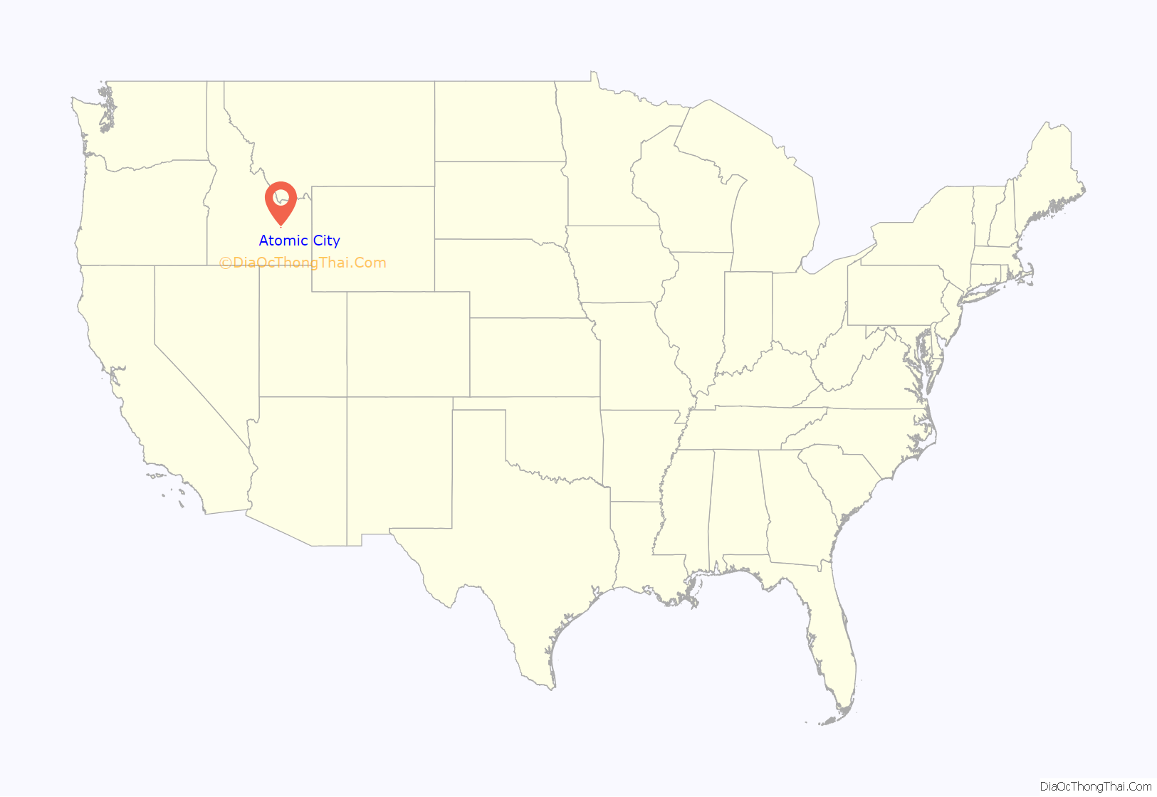
Atomic City location map. Where is Atomic City city?
History
Atomic City was called “Midway” until 1950, as it is halfway between the towns of Blackfoot and Arco (home of Experimental Breeder Reactor I, the world’s first electricity-generating nuclear power plant). Atomic City had a larger population when the neighboring Idaho National Laboratory site was newer, known as the “National Reactor Testing Station” until 1975.
There is one store and one bar in Atomic City; the store no longer sells gasoline, due to new laws pertaining to its underground gas tanks. Most of the people who were raised in the town are now deceased, and many of the current residents are retired. There is an RV park on the south end of town with full hook-ups, and stock car races are held in the summer.
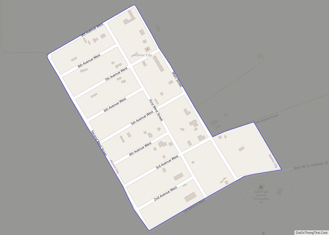
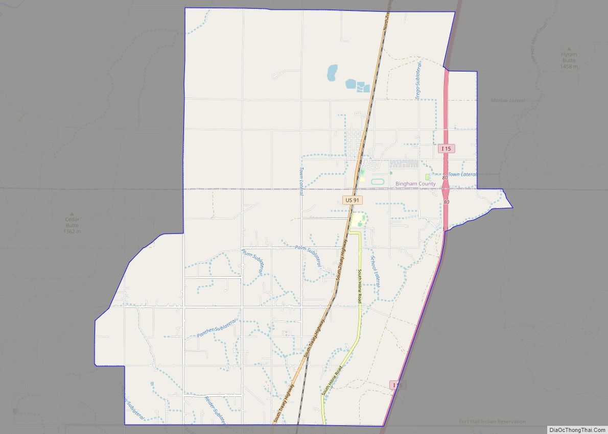
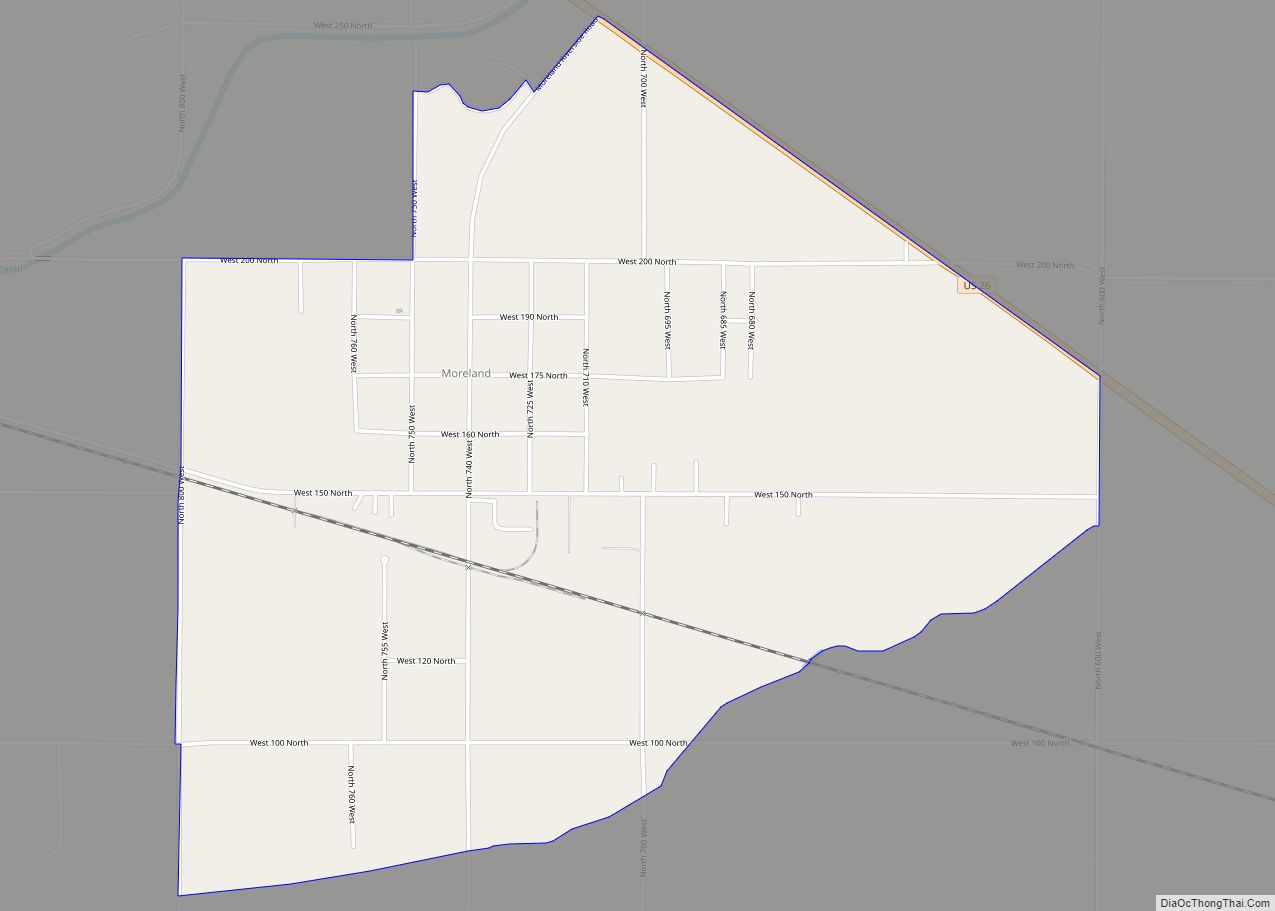
Atomic City Road Map
Atomic City city Satellite Map
Geography
According to the United States Census Bureau, the city has a total area of 0.11 square miles (0.28 km), all of it land.
Atomic City is just south of the Idaho National Laboratory site, on U.S. Route 26.
Climate
According to the Köppen Climate Classification system, Atomic City has a semi-arid climate, abbreviated “BSk” on climate maps.
See also
Map of Idaho State and its subdivision:- Ada
- Adams
- Bannock
- Bear Lake
- Benewah
- Bingham
- Blaine
- Boise
- Bonner
- Bonneville
- Boundary
- Butte
- Camas
- Canyon
- Caribou
- Cassia
- Clark
- Clearwater
- Custer
- Elmore
- Franklin
- Fremont
- Gem
- Gooding
- Idaho
- Jefferson
- Jerome
- Kootenai
- Latah
- Lemhi
- Lewis
- Lincoln
- Madison
- Minidoka
- Nez Perce
- Oneida
- Owyhee
- Payette
- Power
- Shoshone
- Teton
- Twin Falls
- Valley
- Washington
- Alabama
- Alaska
- Arizona
- Arkansas
- California
- Colorado
- Connecticut
- Delaware
- District of Columbia
- Florida
- Georgia
- Hawaii
- Idaho
- Illinois
- Indiana
- Iowa
- Kansas
- Kentucky
- Louisiana
- Maine
- Maryland
- Massachusetts
- Michigan
- Minnesota
- Mississippi
- Missouri
- Montana
- Nebraska
- Nevada
- New Hampshire
- New Jersey
- New Mexico
- New York
- North Carolina
- North Dakota
- Ohio
- Oklahoma
- Oregon
- Pennsylvania
- Rhode Island
- South Carolina
- South Dakota
- Tennessee
- Texas
- Utah
- Vermont
- Virginia
- Washington
- West Virginia
- Wisconsin
- Wyoming
