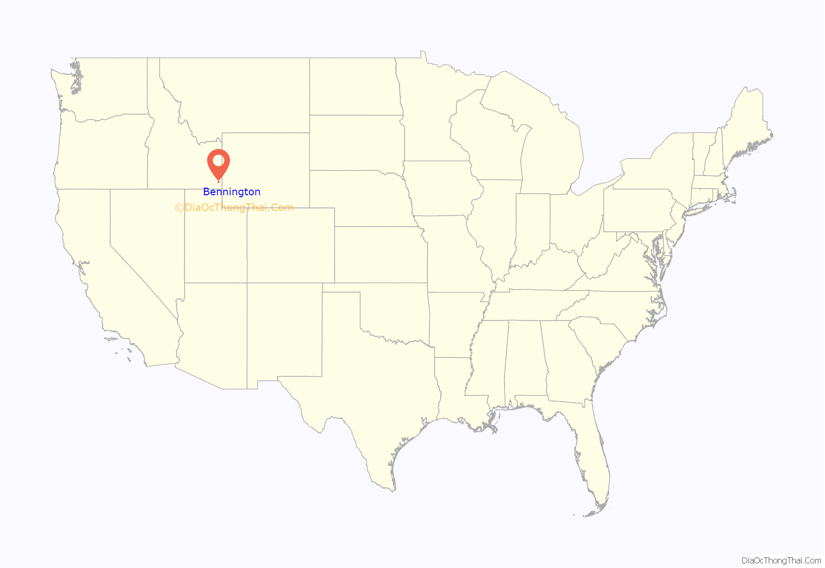
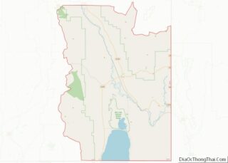
Bennington is an unincorporated census-designated place in Bear Lake County, Idaho, United States. As of the 2010 census, its population was 190. It is located in the southeast corner of the (State of Idaho) on U.S. Route 30 about five miles north of Montpelier and 12 miles south of Georgetown.
| Name: | Bennington CDP |
|---|---|
| LSAD Code: | 57 |
| LSAD Description: | CDP (suffix) |
| State: | Idaho |
| County: | Bear Lake County |
| Total Area: | 6.342 sq mi (16.43 km²) |
| Land Area: | 6.338 sq mi (16.42 km²) |
| Water Area: | 0.004 sq mi (0.01 km²) |
| Total Population: | 190 |
| Population Density: | 30/sq mi (12/km²) |
| FIPS code: | 1606670 |
| GNISfeature ID: | 396104 |
Online Interactive Map
Click on ![]() to view map in "full screen" mode.
to view map in "full screen" mode.
Bennington location map. Where is Bennington CDP?
History
Bennington is a small farming community settled by Mormon Pioneers in 1864. It was named by Brigham Young after a town in Vermont near where he was born and grew up. Many of the inhabitants in Bennington are direct descendants of these early pioneers.
Among its founders was Amos Wright who, according to his grandson, the Bennington-born writer David L. Wright, before founding Bennington was excommunicated from the Church of Jesus Christ of Latter-day Saints for riding his horse into a meetinghouse and shooting out the lights. He was later rebaptised, before going on to found Bennington.
Bennington’s population was estimated at 50 in 1909, and was 100 in 1960.
Its elevation is 6,053 ft (1,845 m).
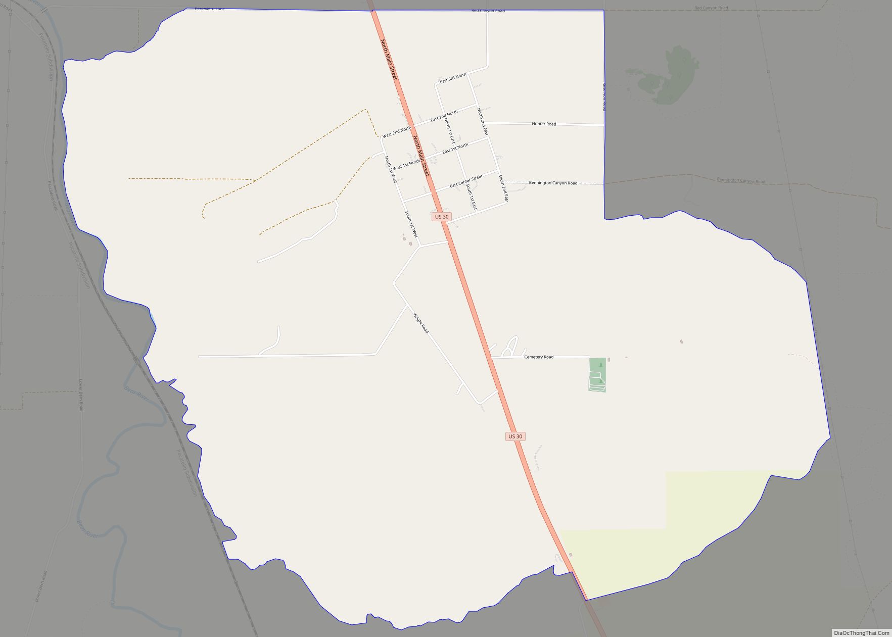
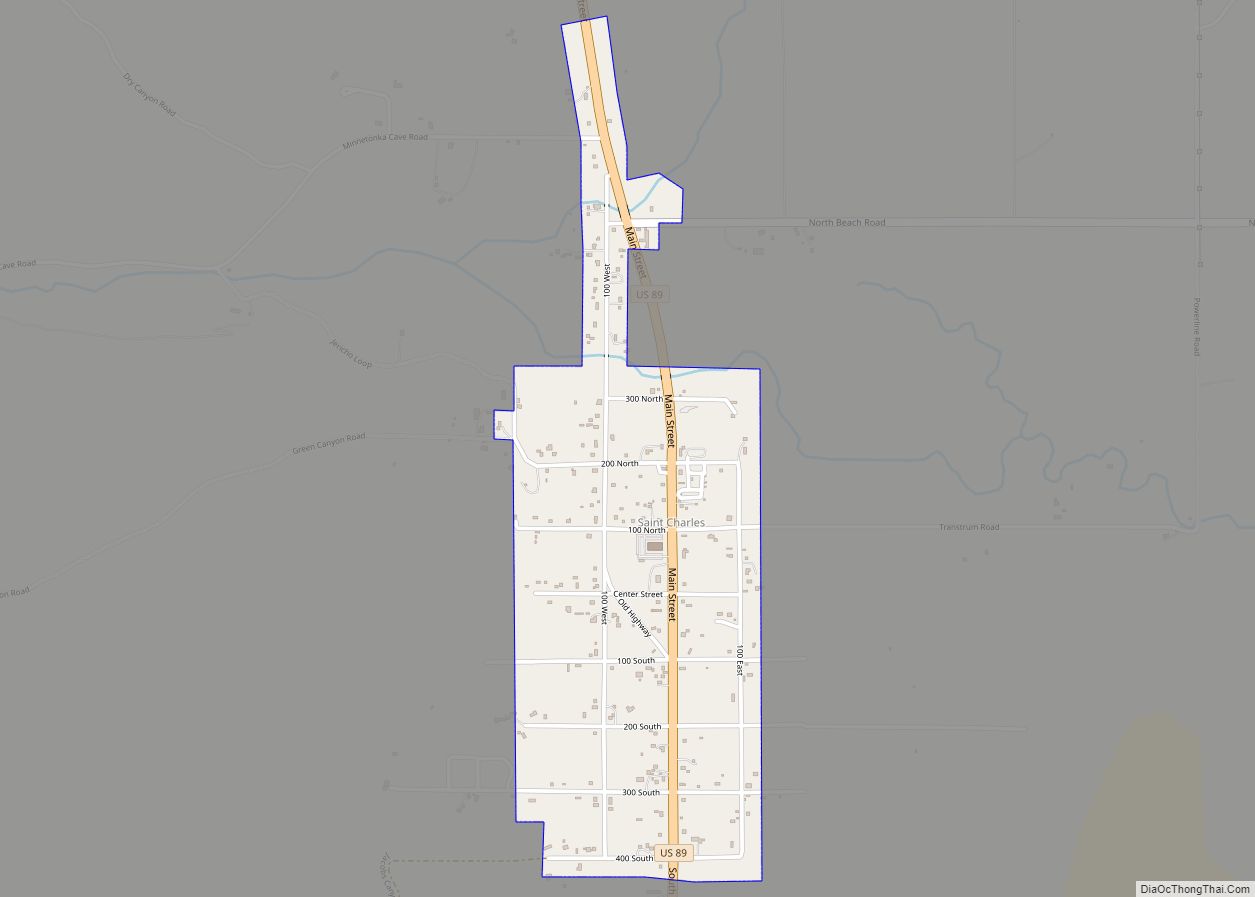
Bennington Road Map
Bennington city Satellite Map
See also
Map of Idaho State and its subdivision:- Ada
- Adams
- Bannock
- Bear Lake
- Benewah
- Bingham
- Blaine
- Boise
- Bonner
- Bonneville
- Boundary
- Butte
- Camas
- Canyon
- Caribou
- Cassia
- Clark
- Clearwater
- Custer
- Elmore
- Franklin
- Fremont
- Gem
- Gooding
- Idaho
- Jefferson
- Jerome
- Kootenai
- Latah
- Lemhi
- Lewis
- Lincoln
- Madison
- Minidoka
- Nez Perce
- Oneida
- Owyhee
- Payette
- Power
- Shoshone
- Teton
- Twin Falls
- Valley
- Washington
- Alabama
- Alaska
- Arizona
- Arkansas
- California
- Colorado
- Connecticut
- Delaware
- District of Columbia
- Florida
- Georgia
- Hawaii
- Idaho
- Illinois
- Indiana
- Iowa
- Kansas
- Kentucky
- Louisiana
- Maine
- Maryland
- Massachusetts
- Michigan
- Minnesota
- Mississippi
- Missouri
- Montana
- Nebraska
- Nevada
- New Hampshire
- New Jersey
- New Mexico
- New York
- North Carolina
- North Dakota
- Ohio
- Oklahoma
- Oregon
- Pennsylvania
- Rhode Island
- South Carolina
- South Dakota
- Tennessee
- Texas
- Utah
- Vermont
- Virginia
- Washington
- West Virginia
- Wisconsin
- Wyoming
