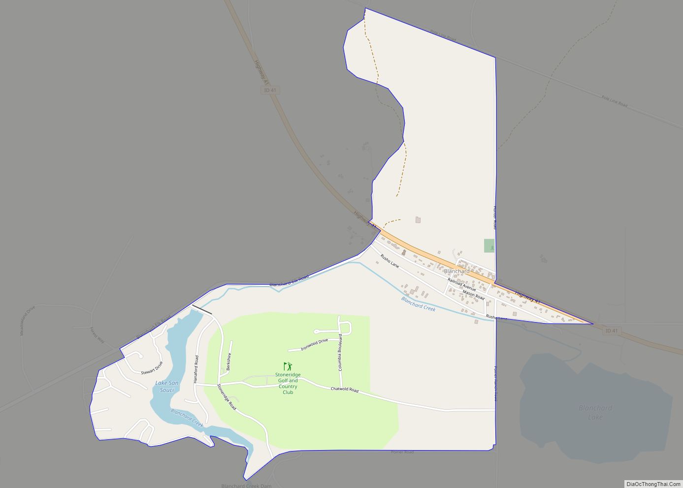
Blanchard is an unincorporated census-designated place in Bonner County, Idaho, United States. Blanchard is located on Idaho State Highway 41 6.5 miles (10.5 km) northwest of Spirit Lake. Blanchard has a post office with ZIP code 83804. As of the 2010 census, its population was 261.
| Name: | Blanchard CDP |
|---|---|
| LSAD Code: | 57 |
| LSAD Description: | CDP (suffix) |
| State: | Idaho |
| County: | Bonner County |
| Elevation: | 2,287 ft (697 m) |
| Total Area: | 1.530 sq mi (3.96 km²) |
| Land Area: | 1.484 sq mi (3.84 km²) |
| Water Area: | 0.046 sq mi (0.12 km²) |
| Total Population: | 261 |
| Population Density: | 170/sq mi (66/km²) |
| ZIP code: | 83804 |
| FIPS code: | 1608290 |
| GNISfeature ID: | 396151 |
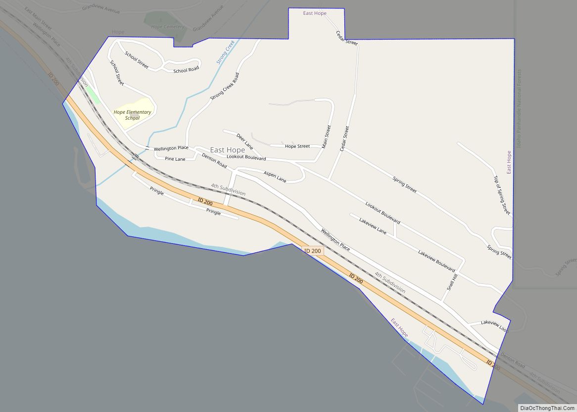
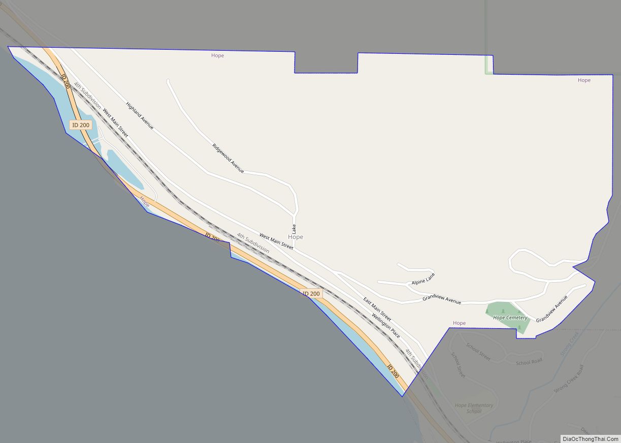
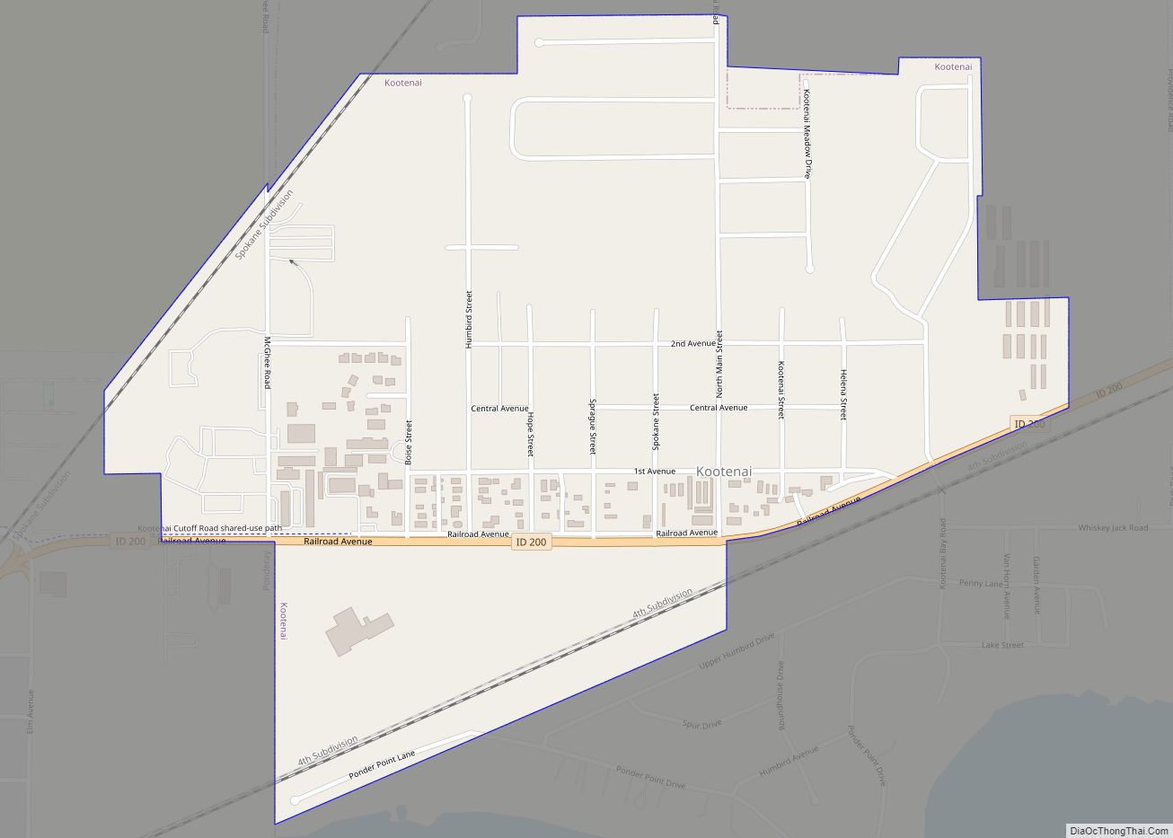
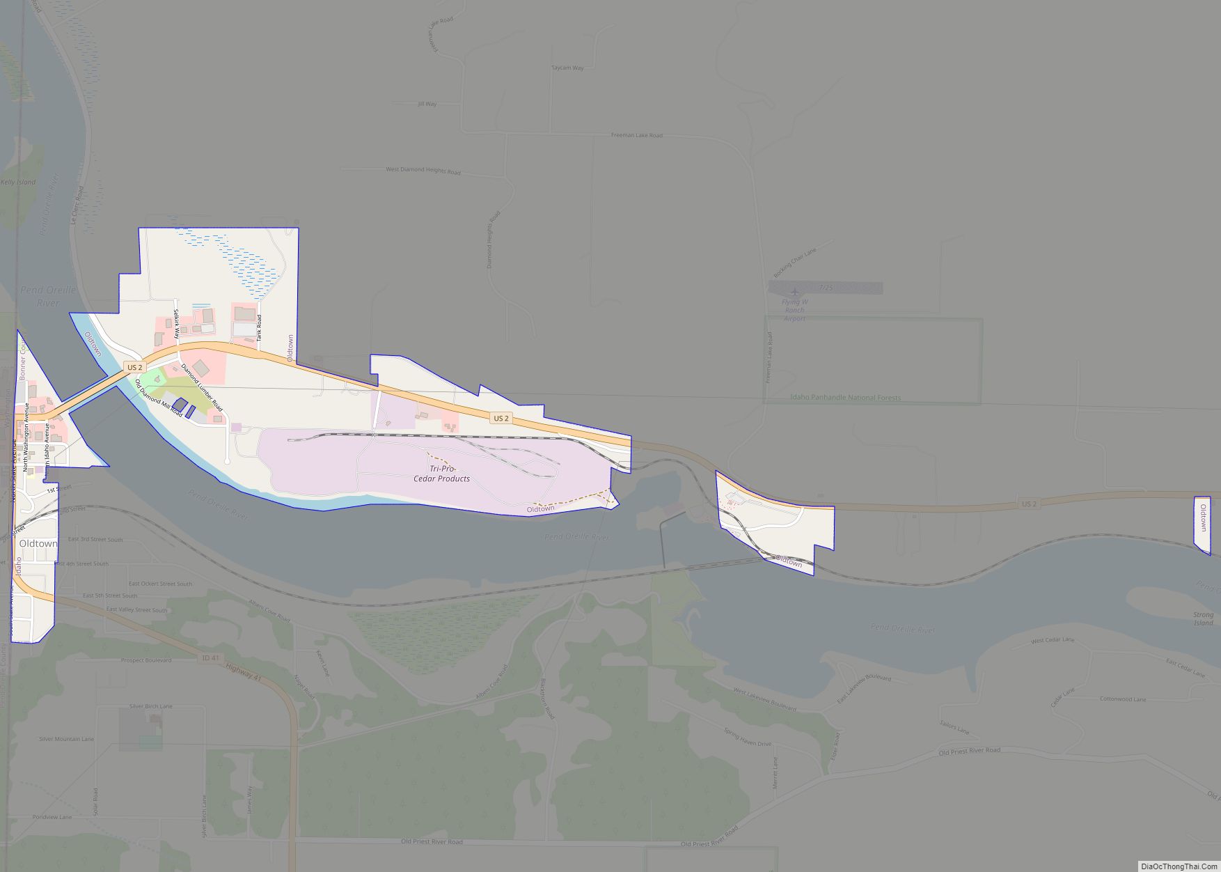
Online Interactive Map
Click on ![]() to view map in "full screen" mode.
to view map in "full screen" mode.
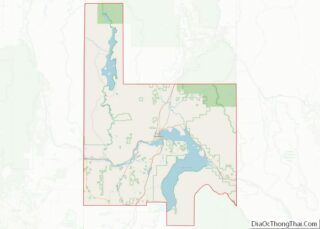
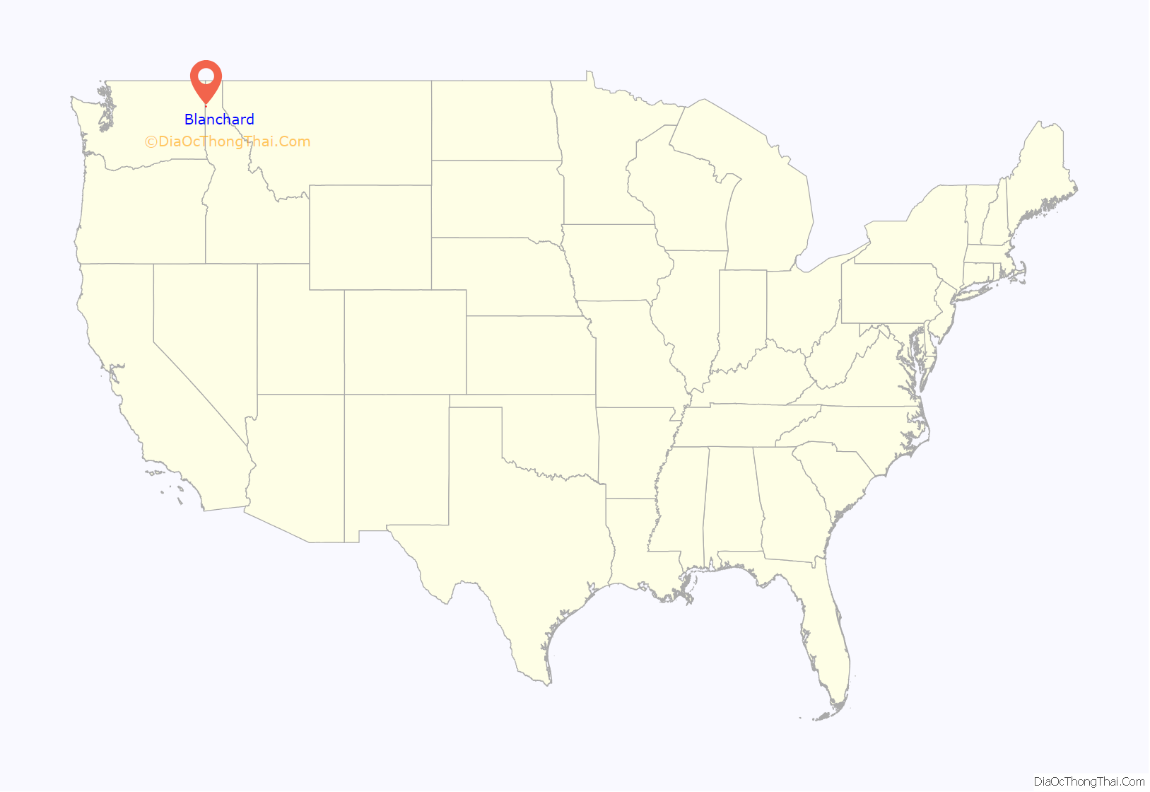
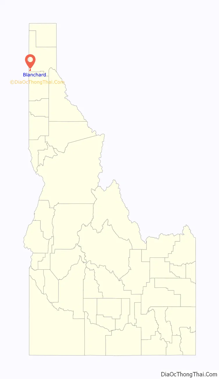
Blanchard location map. Where is Blanchard CDP?
History
A post office called White was established in 1903, but in 1908, the name was changed to Blanchard. The present name honors John Blanchard, a pioneer settler.
Blanchard’s population was estimated at 100 in 1960.
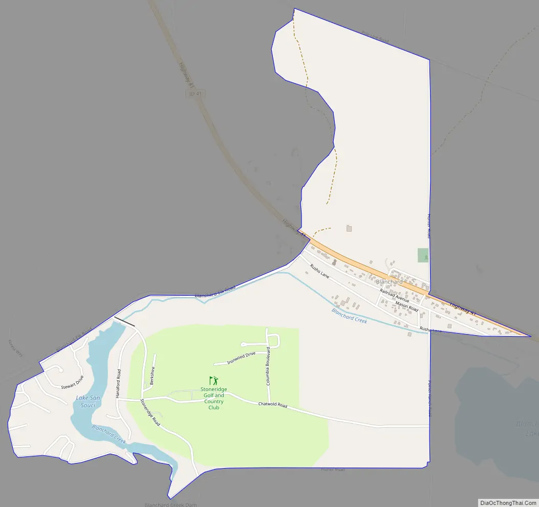
Blanchard Road Map
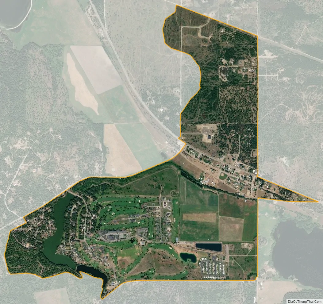
Blanchard city Satellite Map
See also
Map of Idaho State and its subdivision:- Ada
- Adams
- Bannock
- Bear Lake
- Benewah
- Bingham
- Blaine
- Boise
- Bonner
- Bonneville
- Boundary
- Butte
- Camas
- Canyon
- Caribou
- Cassia
- Clark
- Clearwater
- Custer
- Elmore
- Franklin
- Fremont
- Gem
- Gooding
- Idaho
- Jefferson
- Jerome
- Kootenai
- Latah
- Lemhi
- Lewis
- Lincoln
- Madison
- Minidoka
- Nez Perce
- Oneida
- Owyhee
- Payette
- Power
- Shoshone
- Teton
- Twin Falls
- Valley
- Washington
- Alabama
- Alaska
- Arizona
- Arkansas
- California
- Colorado
- Connecticut
- Delaware
- District of Columbia
- Florida
- Georgia
- Hawaii
- Idaho
- Illinois
- Indiana
- Iowa
- Kansas
- Kentucky
- Louisiana
- Maine
- Maryland
- Massachusetts
- Michigan
- Minnesota
- Mississippi
- Missouri
- Montana
- Nebraska
- Nevada
- New Hampshire
- New Jersey
- New Mexico
- New York
- North Carolina
- North Dakota
- Ohio
- Oklahoma
- Oregon
- Pennsylvania
- Rhode Island
- South Carolina
- South Dakota
- Tennessee
- Texas
- Utah
- Vermont
- Virginia
- Washington
- West Virginia
- Wisconsin
- Wyoming