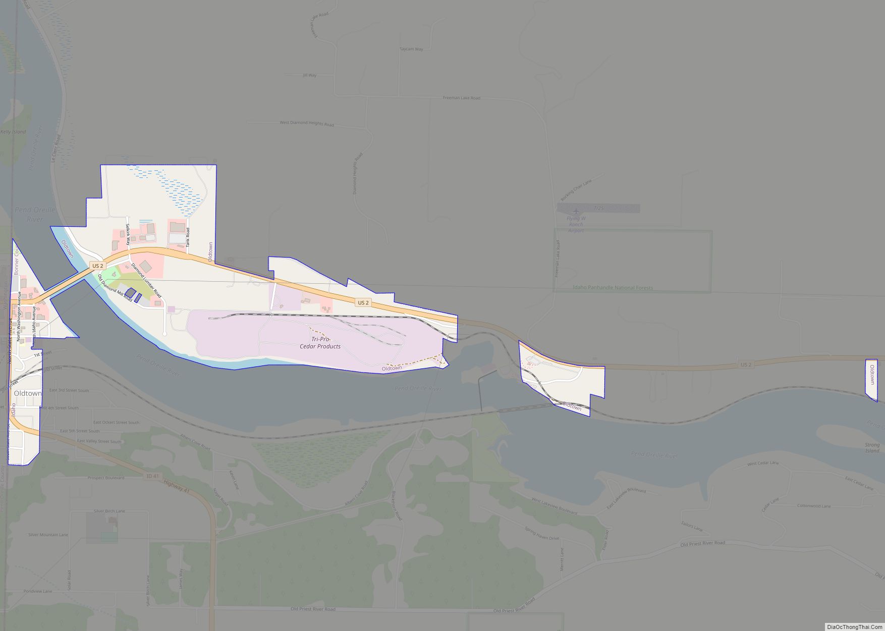
Oldtown is a city in Bonner County, Idaho and suburb of Newport, Washington, with a population of 184 at the 2010 census. It is located on the Pend Oreille River, just east of Newport. There are no natural or physical barriers, and it is strictly a political division, separated by the straight-line state boundary. Oldtown is squeezed between this boundary to the west and the river to the east, leaving the main business district on U.S. Route 2 with only 700 feet (210 meters) of space in which to operate on the Idaho side. Many homes are located in the south end on the other side of the railroad, as the Pend Oreille is somewhat further away here.
| Name: | Oldtown city |
|---|---|
| LSAD Code: | 25 |
| LSAD Description: | city (suffix) |
| State: | Idaho |
| County: | Bonner County |
| Elevation: | 2,123 ft (647 m) |
| Total Area: | 0.84 sq mi (2.18 km²) |
| Land Area: | 0.82 sq mi (2.12 km²) |
| Water Area: | 0.02 sq mi (0.06 km²) |
| Total Population: | 184 |
| Population Density: | 246.02/sq mi (94.99/km²) |
| ZIP code: | 83822 |
| Area code: | 208, 986 |
| FIPS code: | 1658600 |
| GNISfeature ID: | 0396981 |
Online Interactive Map
Click on ![]() to view map in "full screen" mode.
to view map in "full screen" mode.
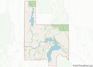
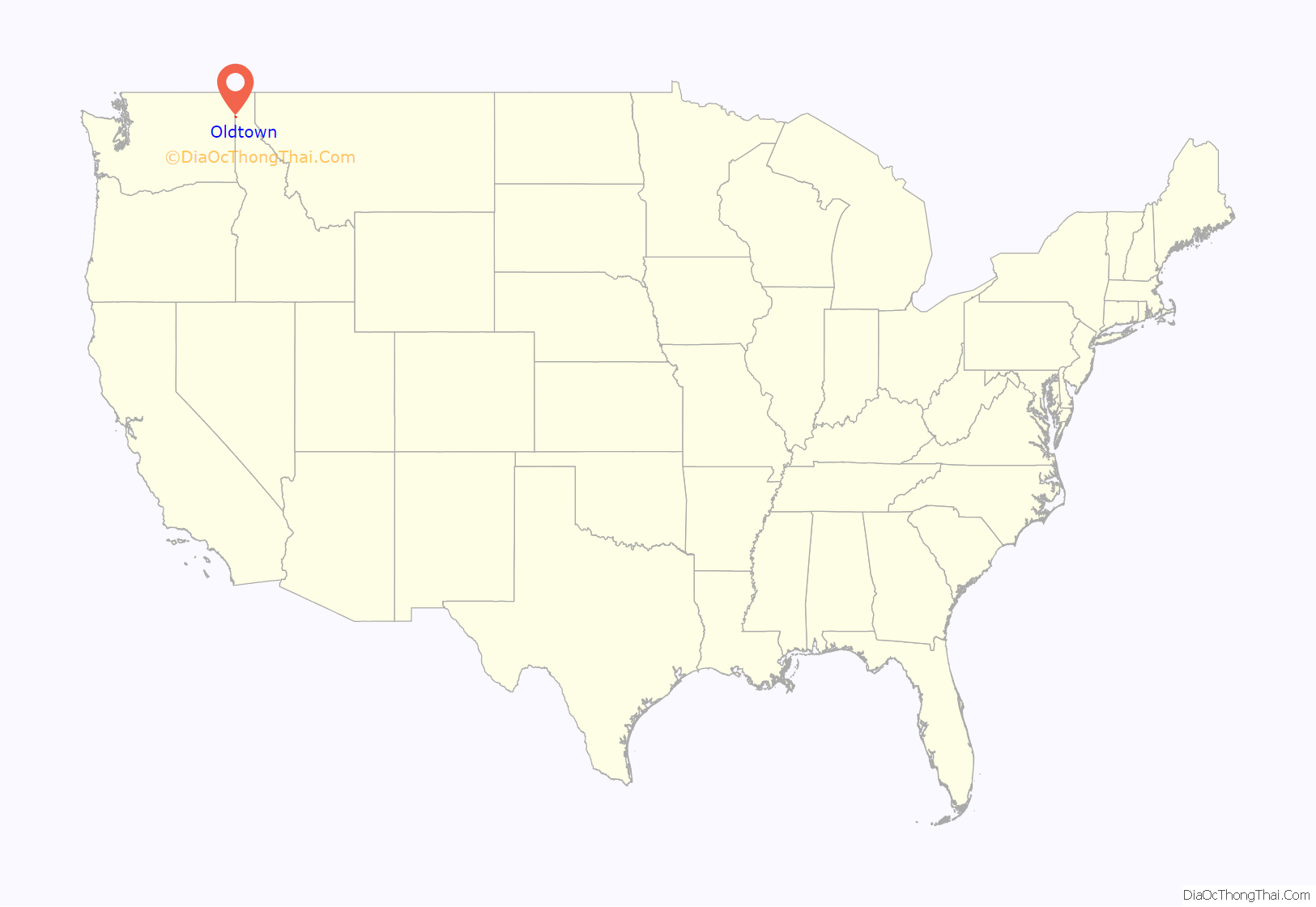
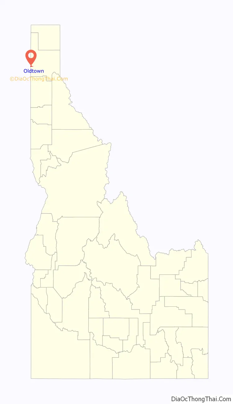
Oldtown location map. Where is Oldtown city?
History
Originally named Newport, Idaho, the town gradually dwindled, and was renamed and incorporated as “Oldtown” in 1947. In October 2003, a 51-year-old man killed four people at Stateline Tavern in Oldtown, and then committed suicide.
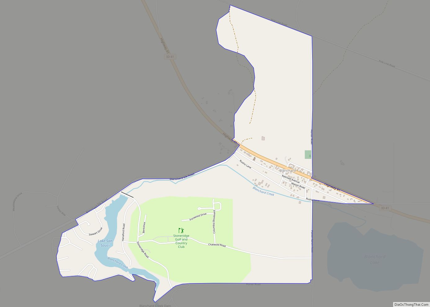
Oldtown Road Map

Oldtown city Satellite Map

Geography
Oldtown is located at 48°11′8″N 117°1′49″W / 48.18556°N 117.03028°W / 48.18556; -117.03028 (48.185623, -117.030158), at an elevation of 2,134 feet (650 meters).
According to the United States Census Bureau, the city has a total area of 0.83 square miles (2.15 km), of which, 0.82 square miles (2.12 km) is land and 0.01 square miles (0.03 km) is water.
See also
Map of Idaho State and its subdivision:- Ada
- Adams
- Bannock
- Bear Lake
- Benewah
- Bingham
- Blaine
- Boise
- Bonner
- Bonneville
- Boundary
- Butte
- Camas
- Canyon
- Caribou
- Cassia
- Clark
- Clearwater
- Custer
- Elmore
- Franklin
- Fremont
- Gem
- Gooding
- Idaho
- Jefferson
- Jerome
- Kootenai
- Latah
- Lemhi
- Lewis
- Lincoln
- Madison
- Minidoka
- Nez Perce
- Oneida
- Owyhee
- Payette
- Power
- Shoshone
- Teton
- Twin Falls
- Valley
- Washington
- Alabama
- Alaska
- Arizona
- Arkansas
- California
- Colorado
- Connecticut
- Delaware
- District of Columbia
- Florida
- Georgia
- Hawaii
- Idaho
- Illinois
- Indiana
- Iowa
- Kansas
- Kentucky
- Louisiana
- Maine
- Maryland
- Massachusetts
- Michigan
- Minnesota
- Mississippi
- Missouri
- Montana
- Nebraska
- Nevada
- New Hampshire
- New Jersey
- New Mexico
- New York
- North Carolina
- North Dakota
- Ohio
- Oklahoma
- Oregon
- Pennsylvania
- Rhode Island
- South Carolina
- South Dakota
- Tennessee
- Texas
- Utah
- Vermont
- Virginia
- Washington
- West Virginia
- Wisconsin
- Wyoming