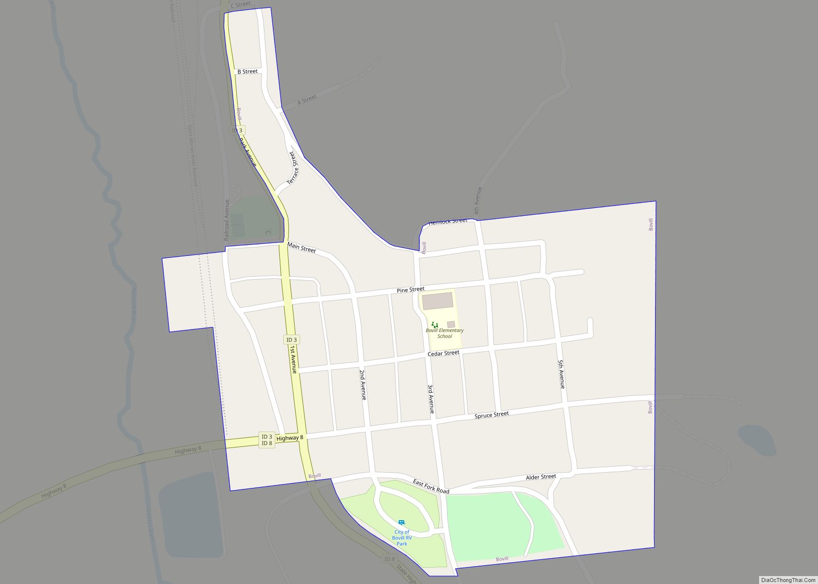
Bovill is a city in Latah County, Idaho, United States. The population was 260 at the 2010 census, down from 305 in 2000.
| Name: | Bovill city |
|---|---|
| LSAD Code: | 25 |
| LSAD Description: | city (suffix) |
| State: | Idaho |
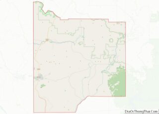
| County: | Latah County |
| Elevation: | 2,874 ft (876 m) |
| Total Area: | 0.16 sq mi (0.41 km²) |
| Land Area: | 0.16 sq mi (0.41 km²) |
| Water Area: | 0.00 sq mi (0.00 km²) |
| Total Population: | 260 |
| Population Density: | 1,622.64/sq mi (625.48/km²) |
| ZIP code: | 83806 |
| Area code: | 208 |
| FIPS code: | 1609730 |
| GNISfeature ID: | 0399805 |
| Website: | www.cityofbovill.net |
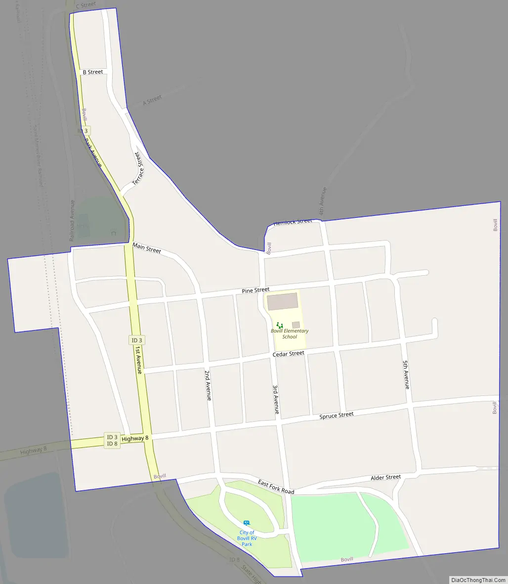
Online Interactive Map
Click on ![]() to view map in "full screen" mode.
to view map in "full screen" mode.
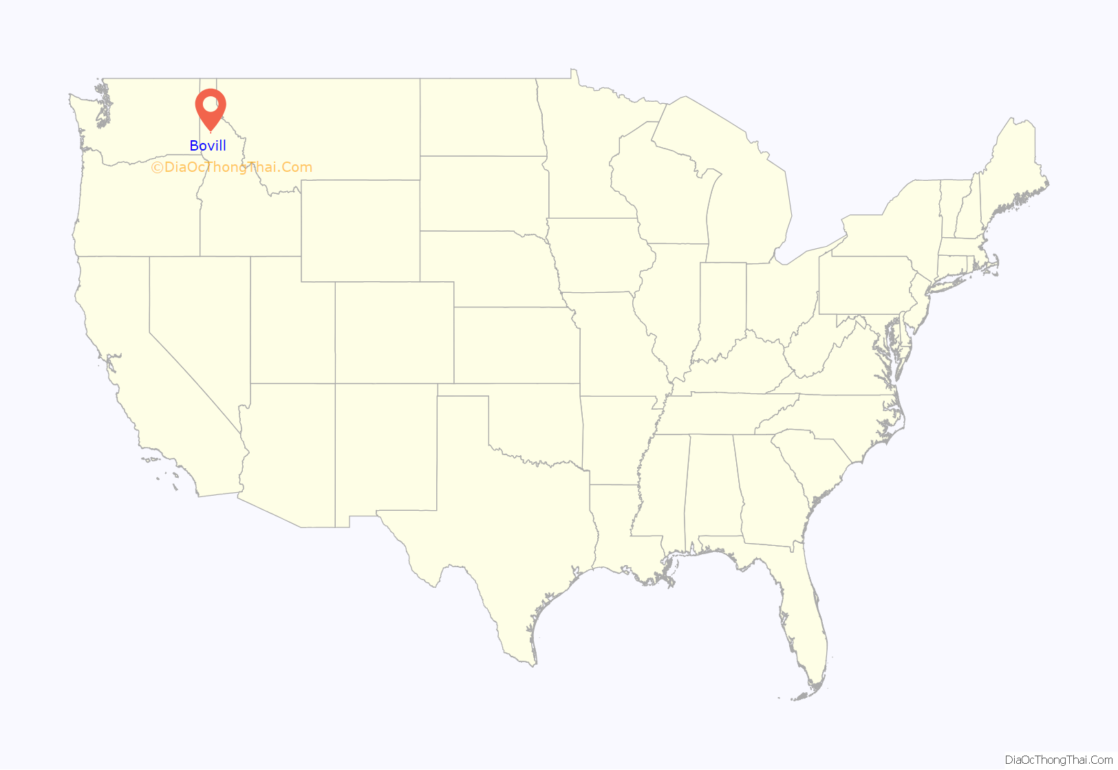
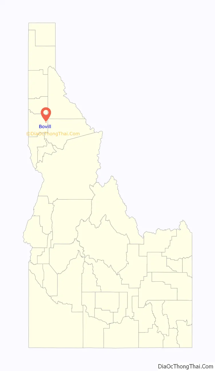
Bovill location map. Where is Bovill city?
History
Bovill was named for a settler. Hugh Bovill was an Englishman who bought the Warren Meadows homestead in 1901 to ranch. With the rapid infusion of loggers, homesteaders, and sportsmen, Bovill and his wife Charlotte opened a hotel in 1903, which included a store and post office in 1907. The railroad arrived that same year and as logging activity increased nearby, the town became too wild for the couple and their two daughters, and they left for Coeur d’Alene in 1911; (Hugh died in 1935 in Oregon, Charlotte in 1947 in California).
On 15 April 1912, the workers at the Number 4 and Number 8 camp near Bovill of the Potlatch Lumber Company went on strike for better rations and a twenty-five cent per day pay raise. Notice of the strike was published in the Industrial Worker, a weekly newspaper of the Industrial Workers of the World which was published out of Spokane, Washington at the time.
The Bovill Opera House, at 2nd and Pine, was listed on the National Register of Historic Places in 2010.
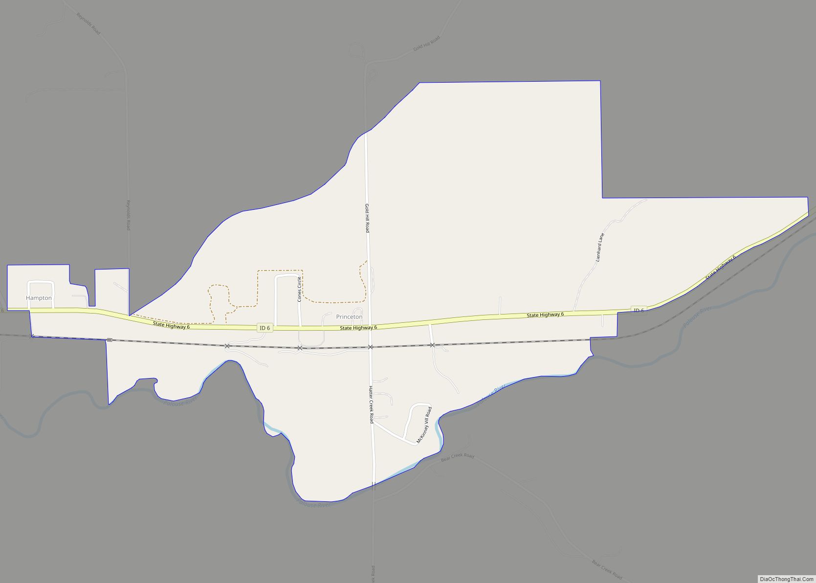
Bovill Road Map
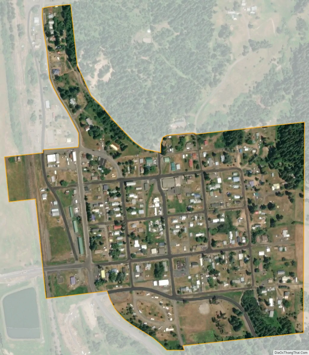
Bovill city Satellite Map
Geography
Bovill is located at 46°51′33″N 116°23′40″W / 46.85917°N 116.39444°W / 46.85917; -116.39444 (46.859187, -116.394491), at an elevation of 2,874 feet (876 m) above sea level on the east bank of the Potlatch River.
According to the United States Census Bureau, the city has a total area of 0.19 square miles (0.49 km), all of it land.
See also
Map of Idaho State and its subdivision:- Ada
- Adams
- Bannock
- Bear Lake
- Benewah
- Bingham
- Blaine
- Boise
- Bonner
- Bonneville
- Boundary
- Butte
- Camas
- Canyon
- Caribou
- Cassia
- Clark
- Clearwater
- Custer
- Elmore
- Franklin
- Fremont
- Gem
- Gooding
- Idaho
- Jefferson
- Jerome
- Kootenai
- Latah
- Lemhi
- Lewis
- Lincoln
- Madison
- Minidoka
- Nez Perce
- Oneida
- Owyhee
- Payette
- Power
- Shoshone
- Teton
- Twin Falls
- Valley
- Washington
- Alabama
- Alaska
- Arizona
- Arkansas
- California
- Colorado
- Connecticut
- Delaware
- District of Columbia
- Florida
- Georgia
- Hawaii
- Idaho
- Illinois
- Indiana
- Iowa
- Kansas
- Kentucky
- Louisiana
- Maine
- Maryland
- Massachusetts
- Michigan
- Minnesota
- Mississippi
- Missouri
- Montana
- Nebraska
- Nevada
- New Hampshire
- New Jersey
- New Mexico
- New York
- North Carolina
- North Dakota
- Ohio
- Oklahoma
- Oregon
- Pennsylvania
- Rhode Island
- South Carolina
- South Dakota
- Tennessee
- Texas
- Utah
- Vermont
- Virginia
- Washington
- West Virginia
- Wisconsin
- Wyoming