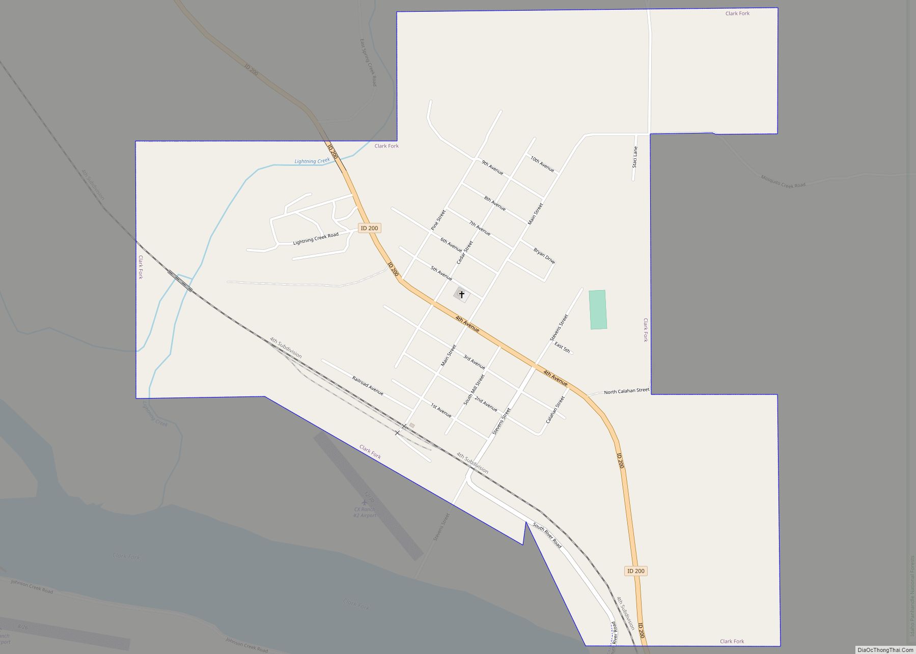
Clark Fork is a small town in Bonner County, Idaho. The population was 536 at the time of the 2010 census.
| Name: | Clark Fork city |
|---|---|
| LSAD Code: | 25 |
| LSAD Description: | city (suffix) |
| State: | Idaho |
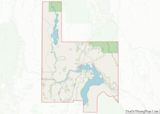
| County: | Bonner County |
| Elevation: | 2,090 ft (640 m) |
| Total Area: | 0.98 sq mi (2.55 km²) |
| Land Area: | 0.98 sq mi (2.55 km²) |
| Water Area: | 0.00 sq mi (0.00 km²) |
| Total Population: | 536 |
| Population Density: | 587.82/sq mi (226.96/km²) |
| ZIP code: | 83811 |
| Area code: | 208, 986 |
| FIPS code: | 1614950 |
| GNISfeature ID: | 0396290 |
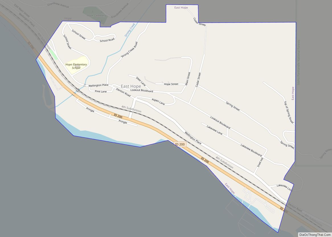
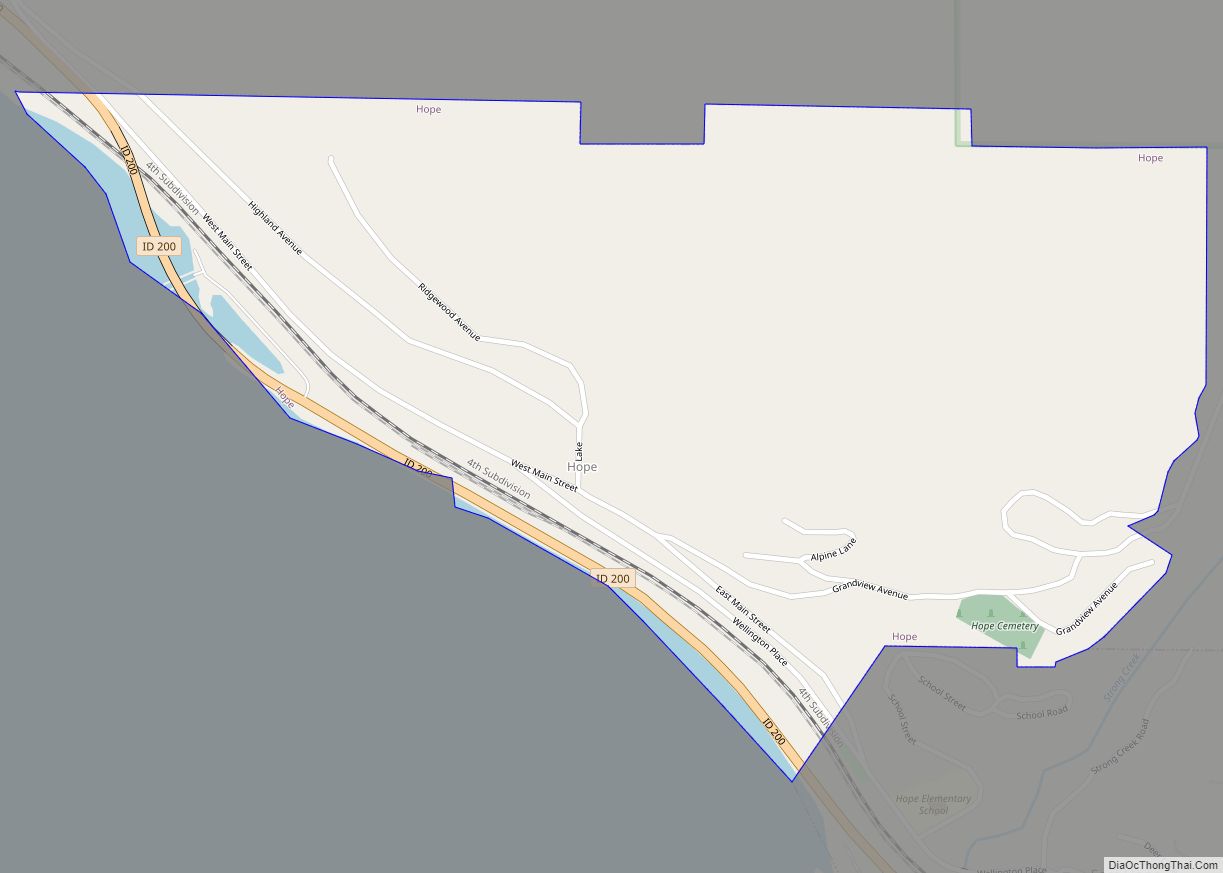
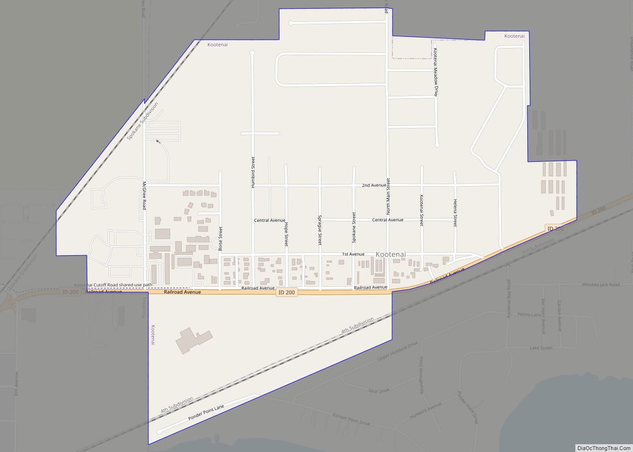
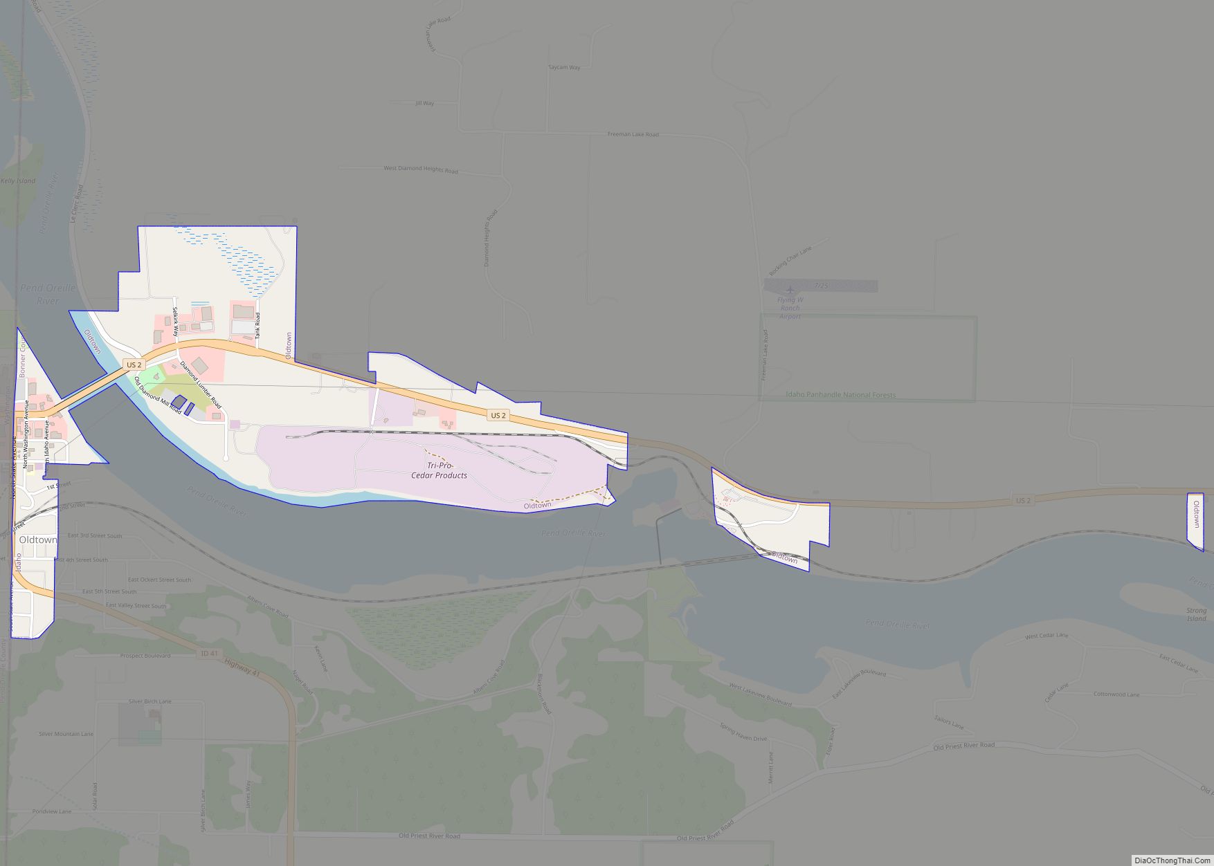
Online Interactive Map
Click on ![]() to view map in "full screen" mode.
to view map in "full screen" mode.
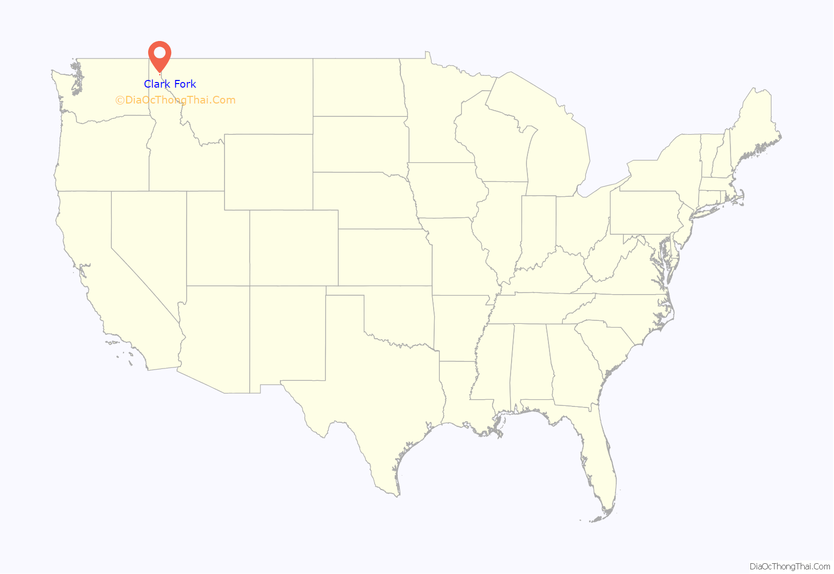
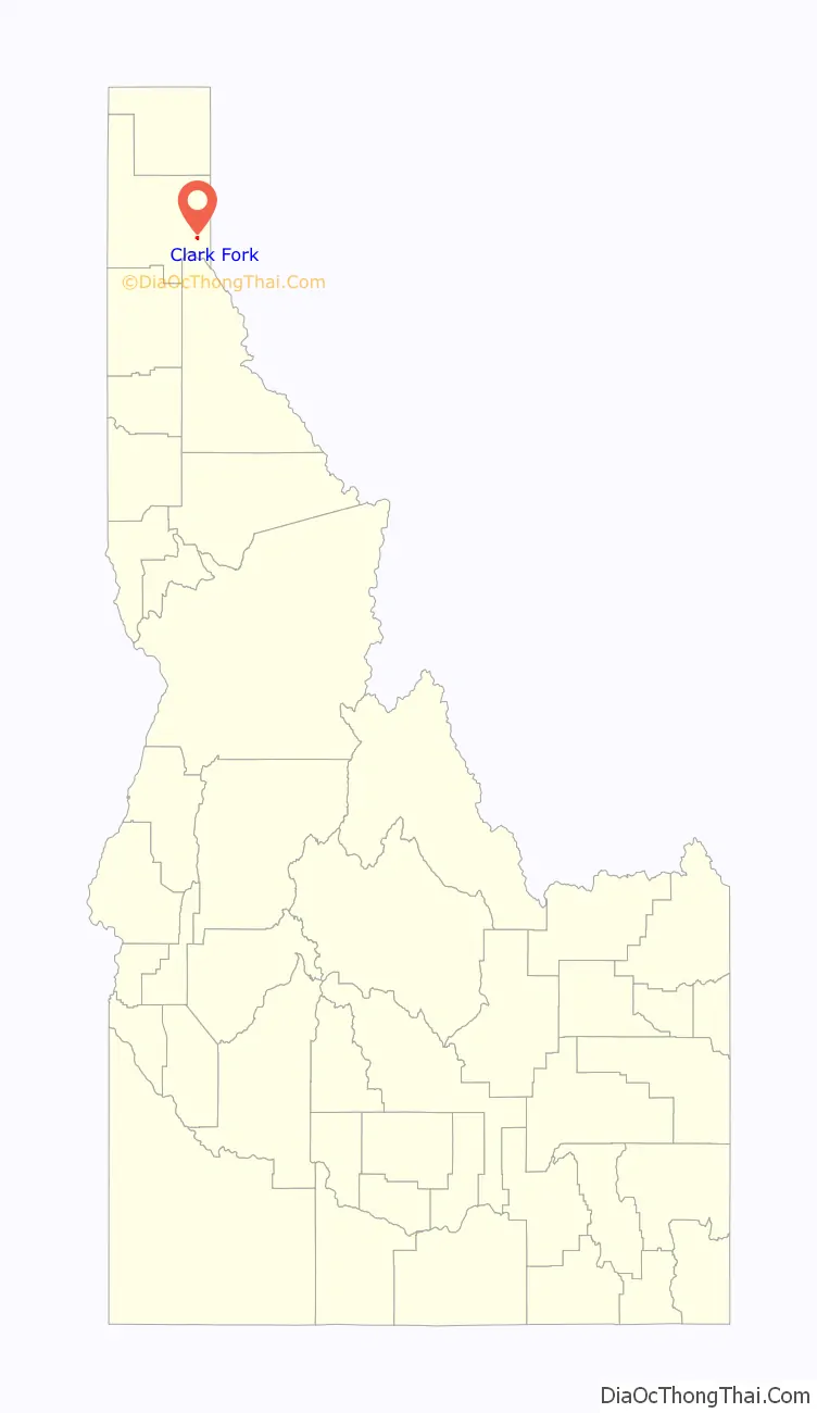
Clark Fork location map. Where is Clark Fork city?
History
The Kutenai Indians have lived in the area around Lake Pend Oreille for centuries, well before the first Europeans explored the North American wilderness.
The town of Clark Fork was named in honor of William Clark, who along with Meriwether Lewis, headed the expedition through the western American wilderness in 1804. It is believed the Lewis and Clark party encountered the Clark Fork River near present-day Missoula, Montana, in October 1805. After the Lewis and Clark Expedition, fur traders would pass through the area. The origins of an actual town date back to when the Northern Pacific Railway constructed a line adjacent to the Clark Fork River, near the eastern shore of Lake Pend Oreille in the early 1880s. By the 1890s a ferry boat service was used to cross the river or to travel as far as Heron, Montana, about 12 miles (20 km) upriver.
Clark Fork is a small town that focuses on agriculture, forestry, small businesses and tourism (camping, hunting and fishing).
Climate
This climatic region is typified by large seasonal temperature differences, with warm to hot (and often humid) summers and cold (sometimes severely cold) winters. According to the Köppen Climate Classification system, Clark Fork has a humid continental climate, abbreviated “Dfb” on climate maps.
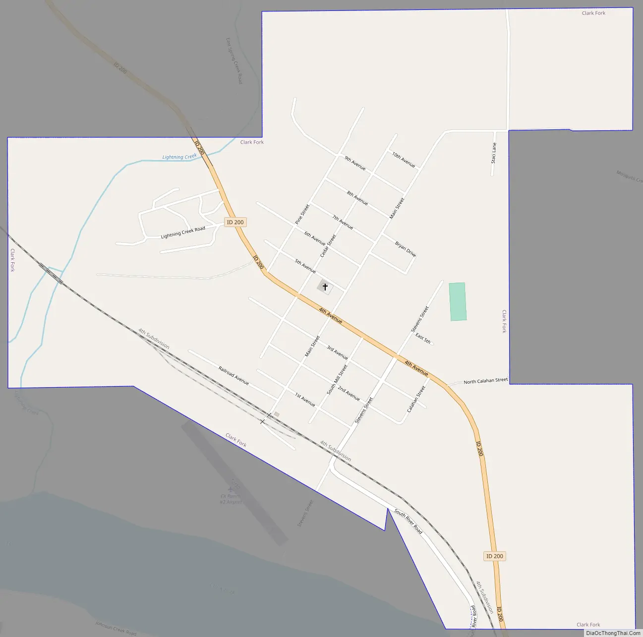
Clark Fork Road Map
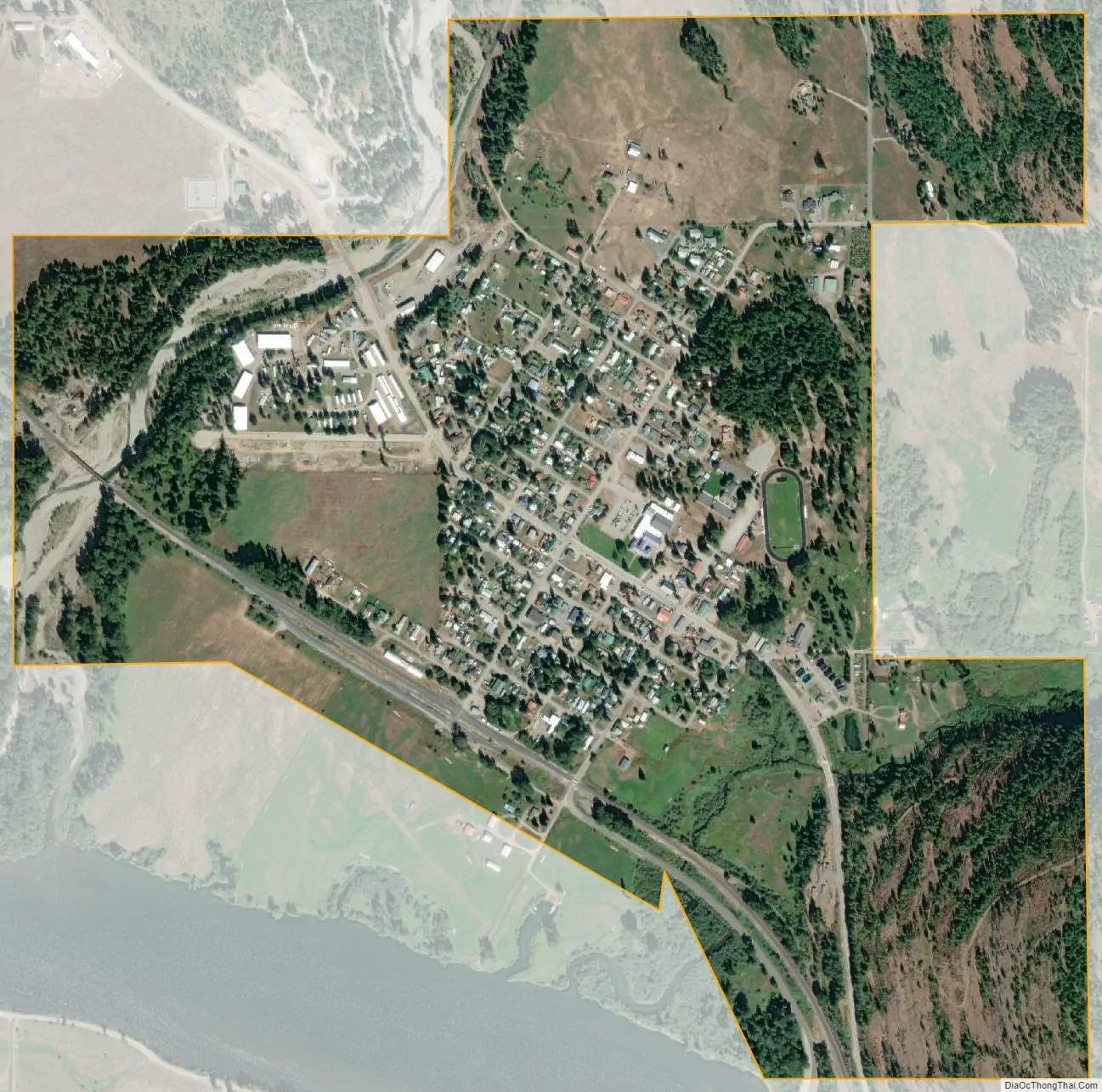
Clark Fork city Satellite Map
Geography
Clark Fork is located at 48°8′50″N 116°10′42″W / 48.14722°N 116.17833°W / 48.14722; -116.17833 (48.147180, -116.178270), at an elevation of 2,090 feet (637 m) above sea level. The town is situated on the Clark Fork River, on the eastern shores of Lake Pend Oreille. in the northern panhandle of the state. According to the United States Census Bureau, the city has a total area of 0.92 square miles (2.38 km), all of it land. The Lightning Creek passes just north and west of the town.
See also
Map of Idaho State and its subdivision:- Ada
- Adams
- Bannock
- Bear Lake
- Benewah
- Bingham
- Blaine
- Boise
- Bonner
- Bonneville
- Boundary
- Butte
- Camas
- Canyon
- Caribou
- Cassia
- Clark
- Clearwater
- Custer
- Elmore
- Franklin
- Fremont
- Gem
- Gooding
- Idaho
- Jefferson
- Jerome
- Kootenai
- Latah
- Lemhi
- Lewis
- Lincoln
- Madison
- Minidoka
- Nez Perce
- Oneida
- Owyhee
- Payette
- Power
- Shoshone
- Teton
- Twin Falls
- Valley
- Washington
- Alabama
- Alaska
- Arizona
- Arkansas
- California
- Colorado
- Connecticut
- Delaware
- District of Columbia
- Florida
- Georgia
- Hawaii
- Idaho
- Illinois
- Indiana
- Iowa
- Kansas
- Kentucky
- Louisiana
- Maine
- Maryland
- Massachusetts
- Michigan
- Minnesota
- Mississippi
- Missouri
- Montana
- Nebraska
- Nevada
- New Hampshire
- New Jersey
- New Mexico
- New York
- North Carolina
- North Dakota
- Ohio
- Oklahoma
- Oregon
- Pennsylvania
- Rhode Island
- South Carolina
- South Dakota
- Tennessee
- Texas
- Utah
- Vermont
- Virginia
- Washington
- West Virginia
- Wisconsin
- Wyoming