Deary is a city in Latah County, Idaho. The population was 506 at the time of the 2010 census, down from 552 in 2000. It is located 24 miles (39 km) east of Moscow and 43 miles (69 km) northeast of Lewiston.
| Name: | Deary city |
|---|---|
| LSAD Code: | 25 |
| LSAD Description: | city (suffix) |
| State: | Idaho |
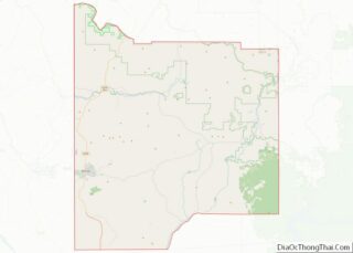
| County: | Latah County |
| Elevation: | 2,874 ft (876 m) |
| Total Area: | 0.66 sq mi (1.71 km²) |
| Land Area: | 0.66 sq mi (1.70 km²) |
| Water Area: | 0.00 sq mi (0.00 km²) |
| Total Population: | 506 |
| Population Density: | 784.19/sq mi (303.01/km²) |
| ZIP code: | 83823 |
| Area code: | 208 |
| FIPS code: | 1620890 |
| GNISfeature ID: | 399848 |
| Website: | www.dearyidaho.com |
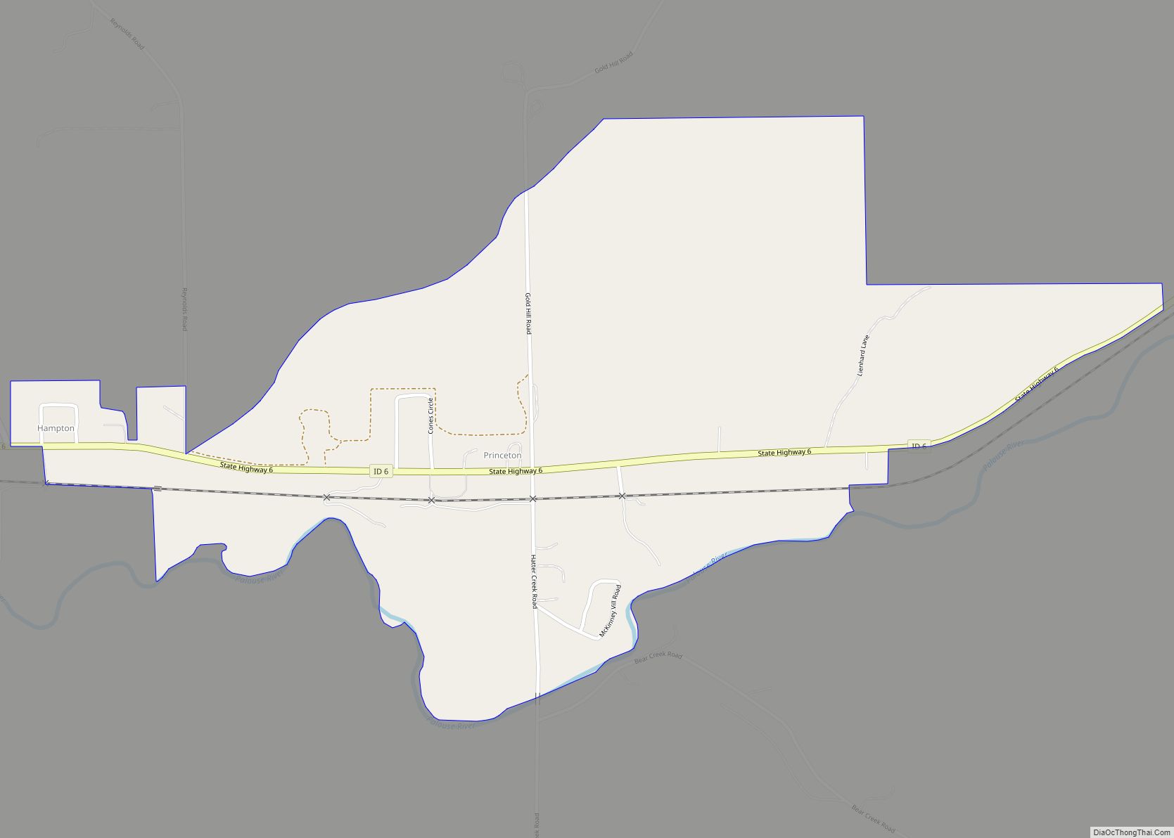
Online Interactive Map
Click on ![]() to view map in "full screen" mode.
to view map in "full screen" mode.
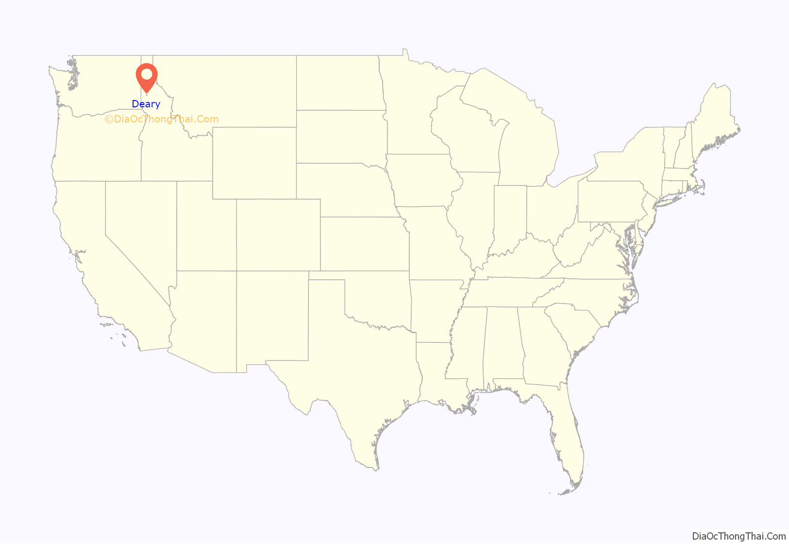
Deary location map. Where is Deary city?
History
The settlement began as a waystation on the road to the forests at Bovill, Idaho. Owned by two African-Americans, Joe and Lou Wells, the waystation location was first called “Spud Hill”, and then “Anderson”.
The settlement was renamed “Deary” when the railroad was extended to that point. The town was founded in 1907, and named for William Deary, a businessperson in the lumber industry. A post office has been in operation at Deary since 1907.
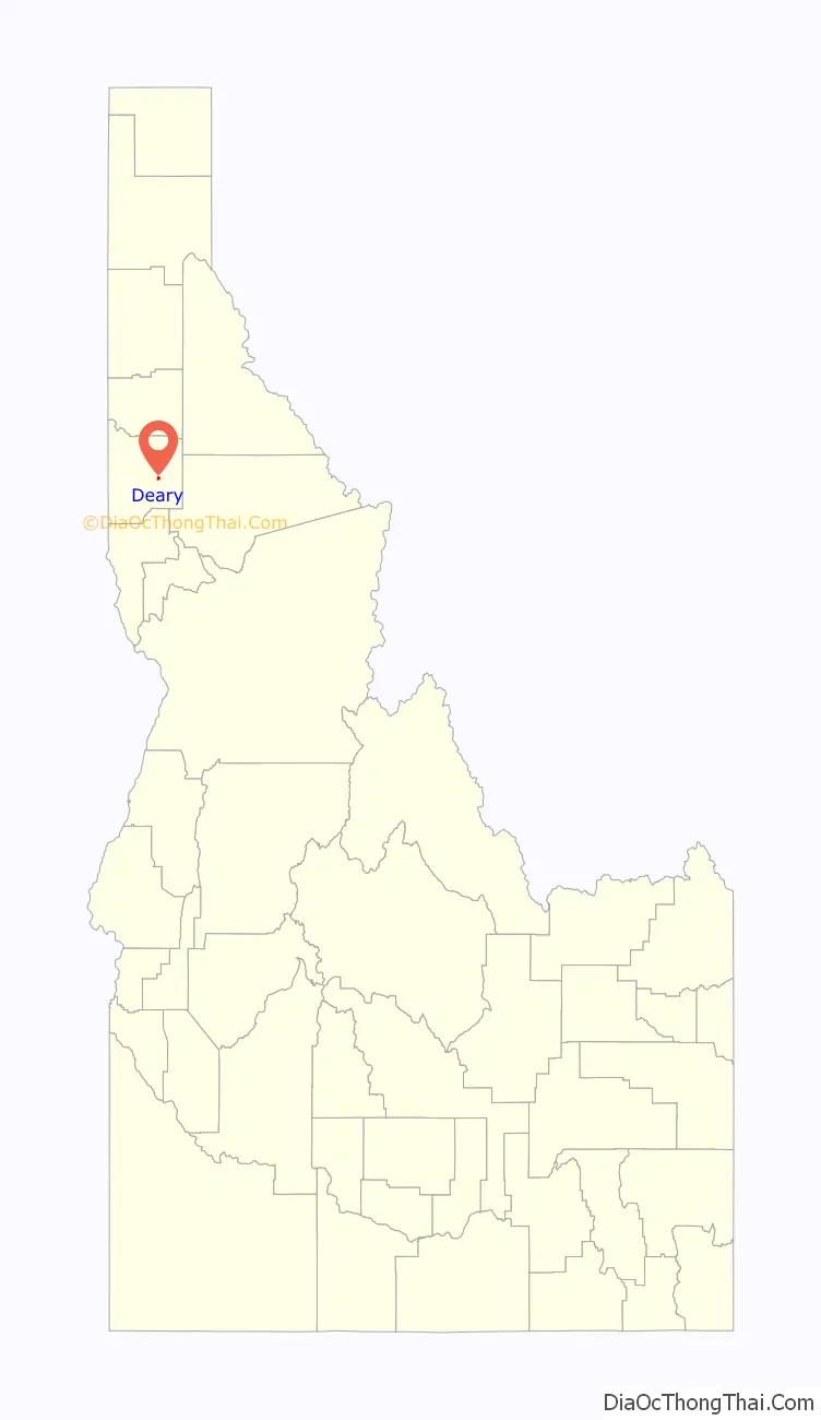
Deary Road Map
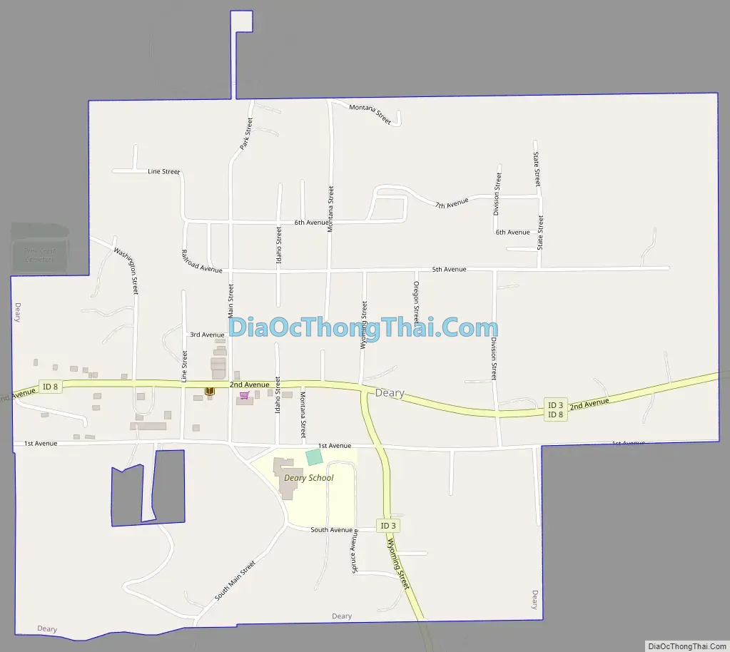
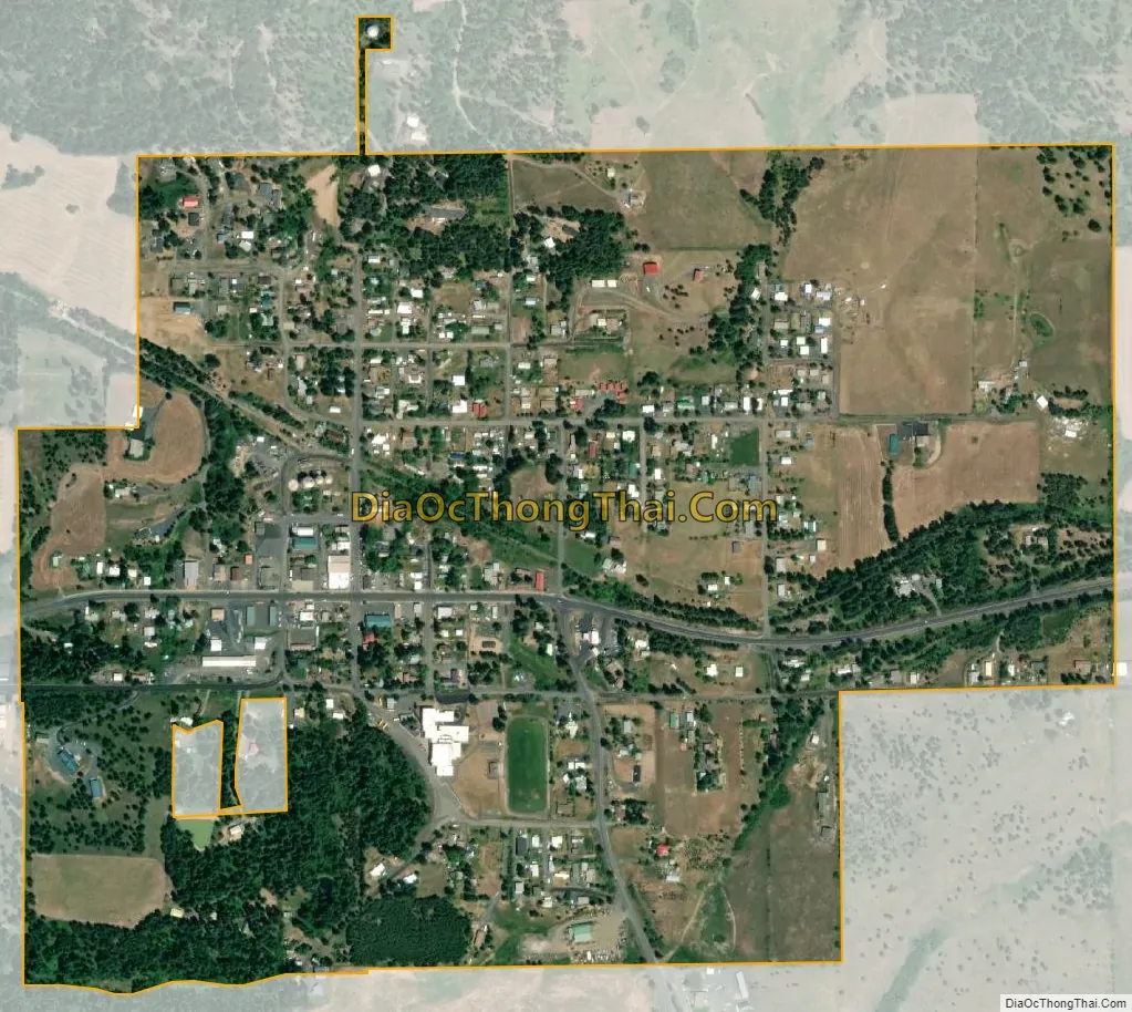
Deary city Satellite Map
Geography
Deary is located at the base of Potato Hill, or as the locals call it, “Spud Hill” and close to outdoor recreation, including camping and fishing: between Spring Valley Reservoir and Moose Creek.
According to the United States Census Bureau, the city has a total area of 0.65 square miles (1.68 km), all of it land.
See also
Map of Idaho State and its subdivision:- Ada
- Adams
- Bannock
- Bear Lake
- Benewah
- Bingham
- Blaine
- Boise
- Bonner
- Bonneville
- Boundary
- Butte
- Camas
- Canyon
- Caribou
- Cassia
- Clark
- Clearwater
- Custer
- Elmore
- Franklin
- Fremont
- Gem
- Gooding
- Idaho
- Jefferson
- Jerome
- Kootenai
- Latah
- Lemhi
- Lewis
- Lincoln
- Madison
- Minidoka
- Nez Perce
- Oneida
- Owyhee
- Payette
- Power
- Shoshone
- Teton
- Twin Falls
- Valley
- Washington
- Alabama
- Alaska
- Arizona
- Arkansas
- California
- Colorado
- Connecticut
- Delaware
- District of Columbia
- Florida
- Georgia
- Hawaii
- Idaho
- Illinois
- Indiana
- Iowa
- Kansas
- Kentucky
- Louisiana
- Maine
- Maryland
- Massachusetts
- Michigan
- Minnesota
- Mississippi
- Missouri
- Montana
- Nebraska
- Nevada
- New Hampshire
- New Jersey
- New Mexico
- New York
- North Carolina
- North Dakota
- Ohio
- Oklahoma
- Oregon
- Pennsylvania
- Rhode Island
- South Carolina
- South Dakota
- Tennessee
- Texas
- Utah
- Vermont
- Virginia
- Washington
- West Virginia
- Wisconsin
- Wyoming