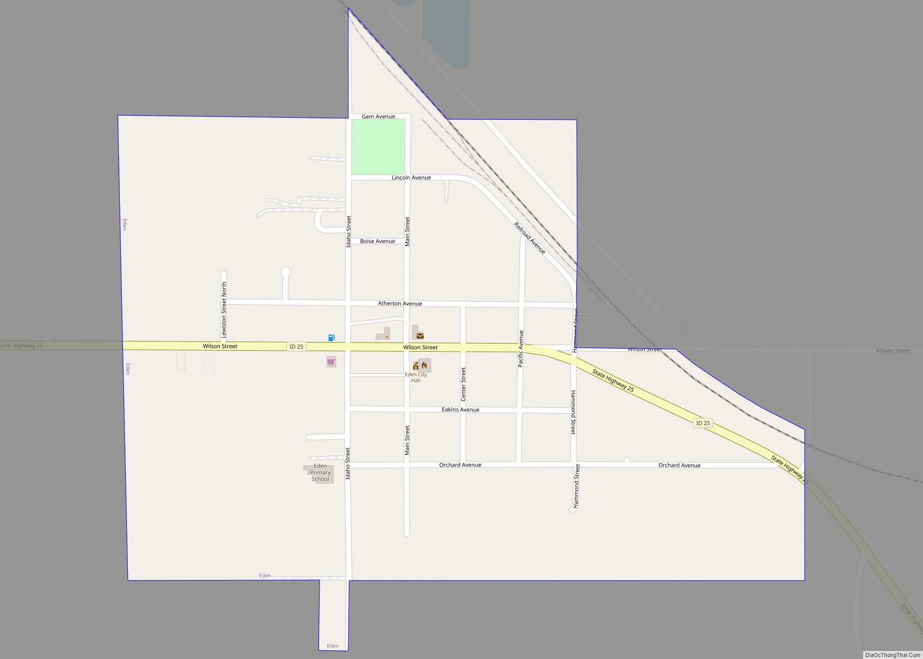
Hazelton is a city in Jerome County, Idaho, United States. The population was 753 at the 2010 census. It is part of the Twin Falls, Idaho Micropolitan Statistical Area.
| Name: | Hazelton city |
|---|---|
| LSAD Code: | 25 |
| LSAD Description: | city (suffix) |
| State: | Idaho |
| County: | Jerome County |
| Elevation: | 4,075 ft (1,242 m) |
| Total Area: | 0.37 sq mi (0.96 km²) |
| Land Area: | 0.36 sq mi (0.93 km²) |
| Water Area: | 0.01 sq mi (0.03 km²) |
| Total Population: | 753 |
| Population Density: | 2,280.56/sq mi (881.33/km²) |
| ZIP code: | 83335 |
| Area code: | 208 |
| FIPS code: | 1636730 |
| GNISfeature ID: | 0396636 |
Online Interactive Map
Click on ![]() to view map in "full screen" mode.
to view map in "full screen" mode.
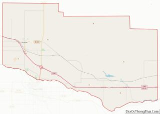
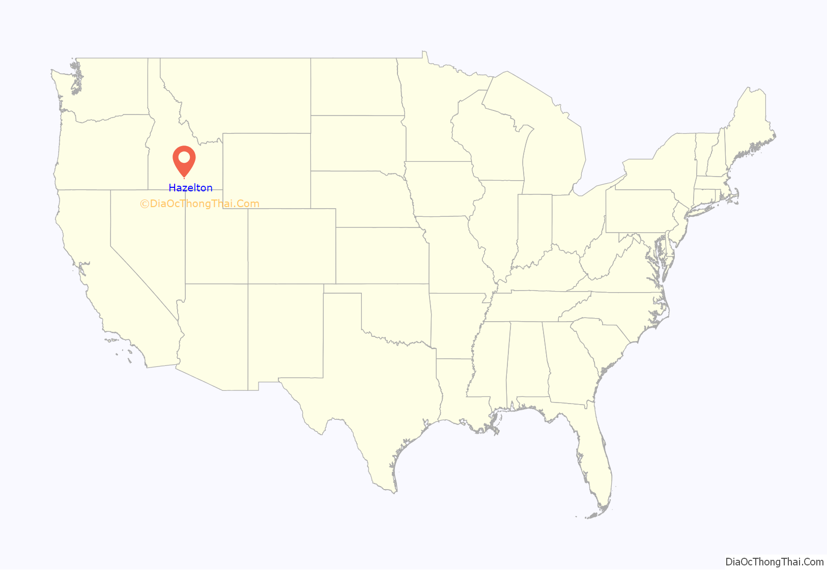
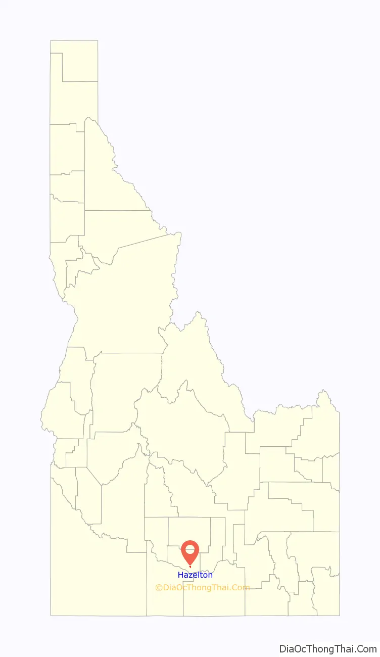
Hazelton location map. Where is Hazelton city?
History
Annie Pike Greenwood wrote 1934 autobiography We Sagebrush Folks, an autobiography published in 1934 about farm life near Hazelton.
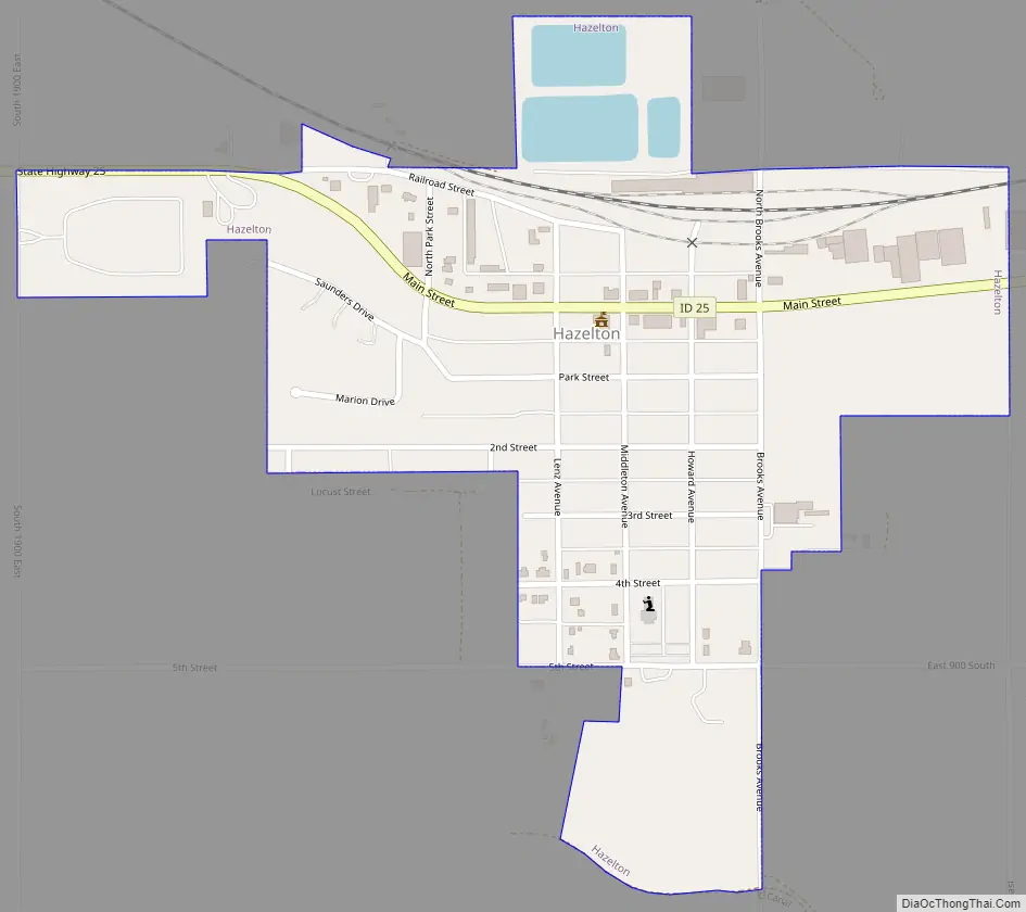
Hazelton Road Map
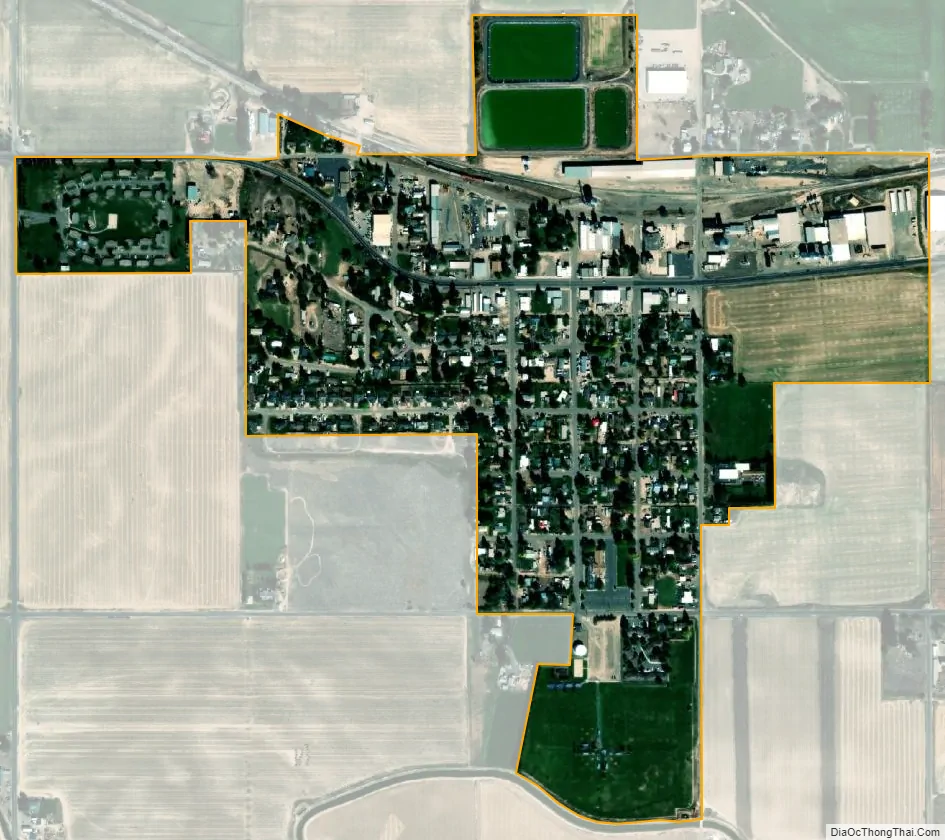
Hazelton city Satellite Map
Geography
Hazelton is located at 42°35′41″N 114°8′12″W / 42.59472°N 114.13667°W / 42.59472; -114.13667 (42.594681, -114.136531).
According to the United States Census Bureau, the city has a total area of 0.38 square miles (0.98 km), of which, 0.37 square miles (0.96 km) is land and 0.01 square miles (0.03 km) is water.
See also
Map of Idaho State and its subdivision:- Ada
- Adams
- Bannock
- Bear Lake
- Benewah
- Bingham
- Blaine
- Boise
- Bonner
- Bonneville
- Boundary
- Butte
- Camas
- Canyon
- Caribou
- Cassia
- Clark
- Clearwater
- Custer
- Elmore
- Franklin
- Fremont
- Gem
- Gooding
- Idaho
- Jefferson
- Jerome
- Kootenai
- Latah
- Lemhi
- Lewis
- Lincoln
- Madison
- Minidoka
- Nez Perce
- Oneida
- Owyhee
- Payette
- Power
- Shoshone
- Teton
- Twin Falls
- Valley
- Washington
- Alabama
- Alaska
- Arizona
- Arkansas
- California
- Colorado
- Connecticut
- Delaware
- District of Columbia
- Florida
- Georgia
- Hawaii
- Idaho
- Illinois
- Indiana
- Iowa
- Kansas
- Kentucky
- Louisiana
- Maine
- Maryland
- Massachusetts
- Michigan
- Minnesota
- Mississippi
- Missouri
- Montana
- Nebraska
- Nevada
- New Hampshire
- New Jersey
- New Mexico
- New York
- North Carolina
- North Dakota
- Ohio
- Oklahoma
- Oregon
- Pennsylvania
- Rhode Island
- South Carolina
- South Dakota
- Tennessee
- Texas
- Utah
- Vermont
- Virginia
- Washington
- West Virginia
- Wisconsin
- Wyoming