Iona is a city in Bonneville County, Idaho, United States. It is part of the Idaho Falls, Idaho Metropolitan Statistical Area. The population was 1,803 at the 2010 census.
| Name: | Iona city |
|---|---|
| LSAD Code: | 25 |
| LSAD Description: | city (suffix) |
| State: | Idaho |
| County: | Bonneville County |
| Incorporated: | April 10, 1905 |
| Elevation: | 4,783 ft (1,458 m) |
| Total Area: | 1.16 sq mi (3.02 km²) |
| Land Area: | 1.16 sq mi (3.02 km²) |
| Water Area: | 0.00 sq mi (0.00 km²) |
| Total Population: | 1,803 |
| Population Density: | 2,022.34/sq mi (780.59/km²) |
| ZIP code: | 83427 |
| Area code: | 208, 986 |
| FIPS code: | 1640420 |
| GNISfeature ID: | 0397811 |
| Website: | www.cityofiona.org |
Online Interactive Map
Click on ![]() to view map in "full screen" mode.
to view map in "full screen" mode.
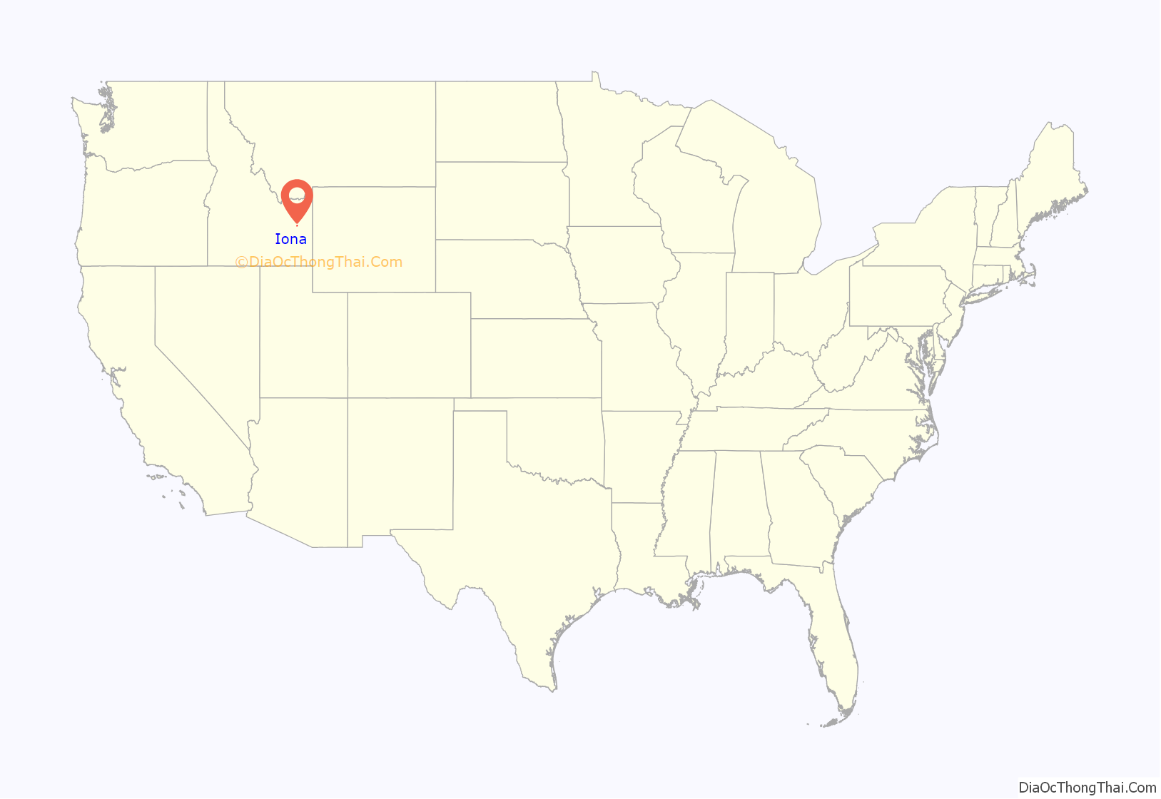
Iona location map. Where is Iona city?
History
Iona was homesteaded by Mormon pioneers in 1883. Sagebrush, as tall as a man sitting on a horse, covered the now famous potato fields. The short growing season made it difficult to grow crops and the early settlers were discouraged and many wanted to go back south to Utah. However, when Mormon apostle Wilford Woodruff spoke to a small congregation in the Iona area on June 17, 1884, he said:
The settlers were persuaded to stay in the valley and one, Thomas E. Ricks, went on to found the city of Rexburg and Ricks College which later became Brigham Young University-Idaho.
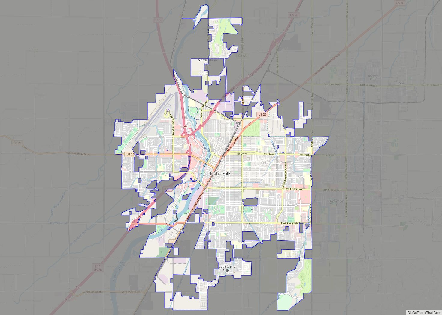
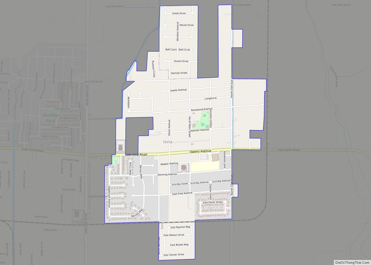
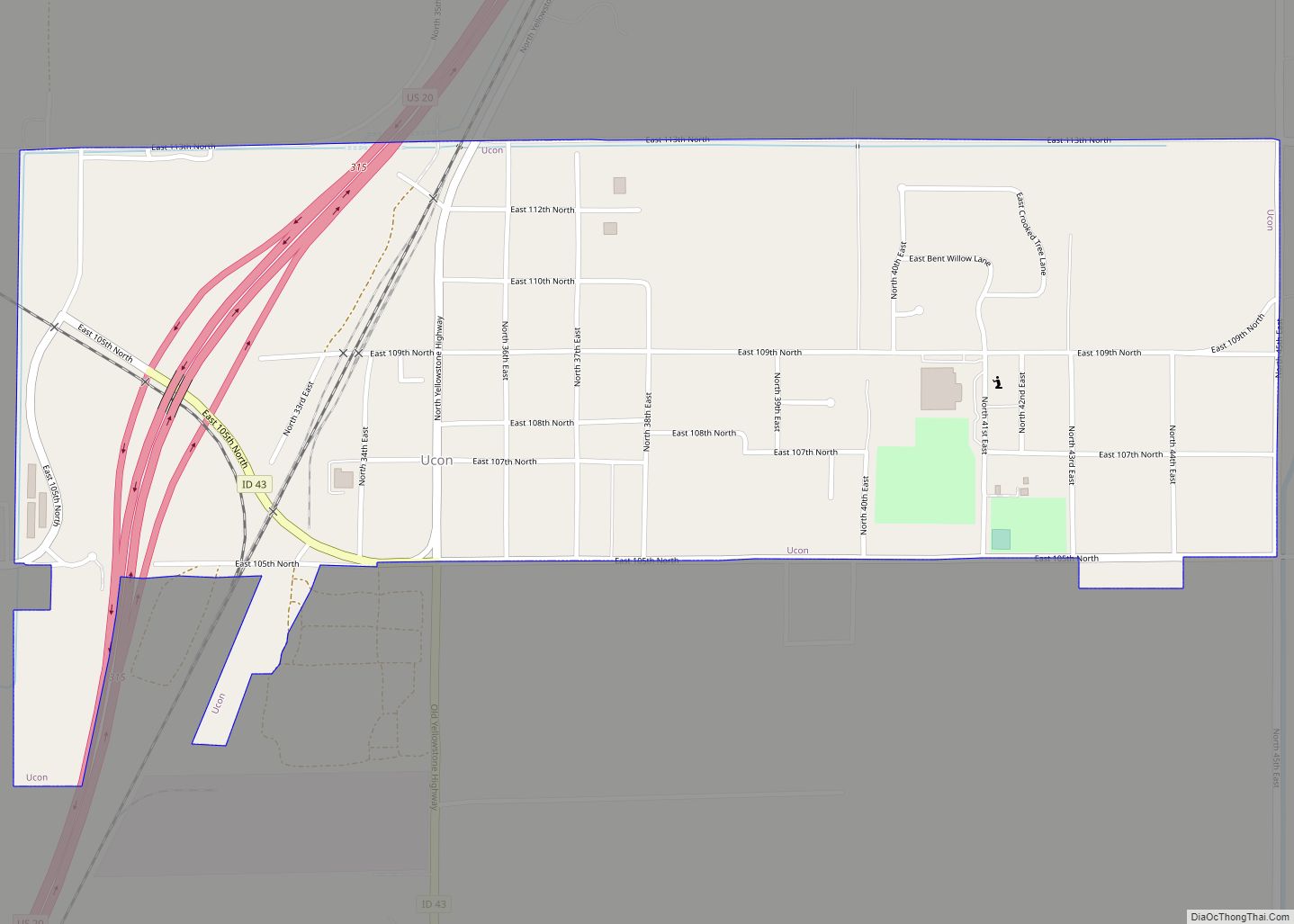
Iona Road Map
Iona city Satellite Map
Geography
Iona is located at 43°31′35″N 111°55′43″W / 43.52639°N 111.92861°W / 43.52639; -111.92861 (43.526319, -111.928478).
According to the United States Census Bureau, the city has a total area of 1.10 square miles (2.85 km), all of it land.
See also
Map of Idaho State and its subdivision:- Ada
- Adams
- Bannock
- Bear Lake
- Benewah
- Bingham
- Blaine
- Boise
- Bonner
- Bonneville
- Boundary
- Butte
- Camas
- Canyon
- Caribou
- Cassia
- Clark
- Clearwater
- Custer
- Elmore
- Franklin
- Fremont
- Gem
- Gooding
- Idaho
- Jefferson
- Jerome
- Kootenai
- Latah
- Lemhi
- Lewis
- Lincoln
- Madison
- Minidoka
- Nez Perce
- Oneida
- Owyhee
- Payette
- Power
- Shoshone
- Teton
- Twin Falls
- Valley
- Washington
- Alabama
- Alaska
- Arizona
- Arkansas
- California
- Colorado
- Connecticut
- Delaware
- District of Columbia
- Florida
- Georgia
- Hawaii
- Idaho
- Illinois
- Indiana
- Iowa
- Kansas
- Kentucky
- Louisiana
- Maine
- Maryland
- Massachusetts
- Michigan
- Minnesota
- Mississippi
- Missouri
- Montana
- Nebraska
- Nevada
- New Hampshire
- New Jersey
- New Mexico
- New York
- North Carolina
- North Dakota
- Ohio
- Oklahoma
- Oregon
- Pennsylvania
- Rhode Island
- South Carolina
- South Dakota
- Tennessee
- Texas
- Utah
- Vermont
- Virginia
- Washington
- West Virginia
- Wisconsin
- Wyoming
