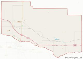
Jerome is a city in and county seat of Jerome County, Idaho, United States. The population was 10,890 at the 2010 census, up from 7,780 in 2000. The city is the county seat of Jerome County, and is part of the Twin Falls Micropolitan Statistical Area. It is the second largest city in Idaho’s Magic Valley region, second only to Twin Falls which is located 10 miles (16 km) southeast. Jerome’s economy is largely agrarian, with dairy farming being one of the main revenue sources for the local economy.
| Name: | Jerome city |
|---|---|
| LSAD Code: | 25 |
| LSAD Description: | city (suffix) |
| State: | Idaho |
| County: | Jerome County |
| Elevation: | 3,763 ft (1,147 m) |
| Total Area: | 5.58 sq mi (14.45 km²) |
| Land Area: | 5.58 sq mi (14.44 km²) |
| Water Area: | 0.00 sq mi (0.00 km²) |
| Total Population: | 10,890 |
| Population Density: | 2,150.62/sq mi (830.42/km²) |
| ZIP code: | 83338 |
| Area code: | 208 |
| FIPS code: | 1641320 |
| GNISfeature ID: | 0396706 |
| Website: | www.ci.jerome.id.us |
Online Interactive Map
Click on ![]() to view map in "full screen" mode.
to view map in "full screen" mode.
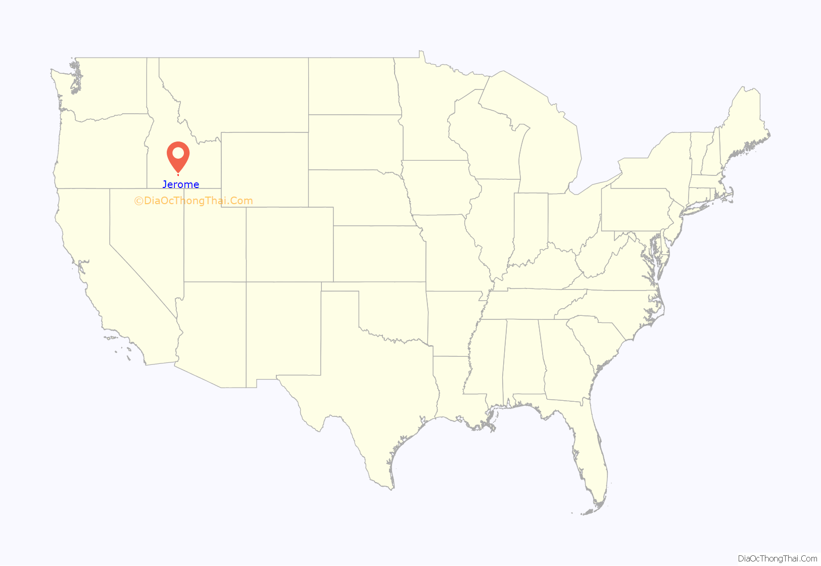
Jerome location map. Where is Jerome city?
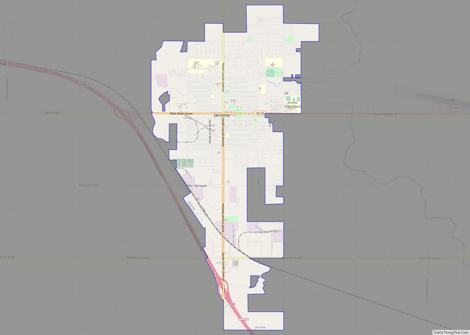
Jerome Road Map
Jerome city Satellite Map
Geography
Jerome is located at 42°43′29″N 114°31′3″W / 42.72472°N 114.51750°W / 42.72472; -114.51750 (42.724622, -114.517543), at an elevation of 3,763 feet (1,147 m) above sea level.
According to the United States Census Bureau, the city has a total area of 5.52 square miles (14.30 km), all of it land.
Jerome is actually a desert, when the settlers first settled, it was a basalt rich desert with only small bushes for vegetation.
Climate
The climate is cold semi-arid (Köppen: BSk), typical of the plateaus of the American West, although its temperature variation resembles a continental climate.
See also
Map of Idaho State and its subdivision:- Ada
- Adams
- Bannock
- Bear Lake
- Benewah
- Bingham
- Blaine
- Boise
- Bonner
- Bonneville
- Boundary
- Butte
- Camas
- Canyon
- Caribou
- Cassia
- Clark
- Clearwater
- Custer
- Elmore
- Franklin
- Fremont
- Gem
- Gooding
- Idaho
- Jefferson
- Jerome
- Kootenai
- Latah
- Lemhi
- Lewis
- Lincoln
- Madison
- Minidoka
- Nez Perce
- Oneida
- Owyhee
- Payette
- Power
- Shoshone
- Teton
- Twin Falls
- Valley
- Washington
- Alabama
- Alaska
- Arizona
- Arkansas
- California
- Colorado
- Connecticut
- Delaware
- District of Columbia
- Florida
- Georgia
- Hawaii
- Idaho
- Illinois
- Indiana
- Iowa
- Kansas
- Kentucky
- Louisiana
- Maine
- Maryland
- Massachusetts
- Michigan
- Minnesota
- Mississippi
- Missouri
- Montana
- Nebraska
- Nevada
- New Hampshire
- New Jersey
- New Mexico
- New York
- North Carolina
- North Dakota
- Ohio
- Oklahoma
- Oregon
- Pennsylvania
- Rhode Island
- South Carolina
- South Dakota
- Tennessee
- Texas
- Utah
- Vermont
- Virginia
- Washington
- West Virginia
- Wisconsin
- Wyoming


