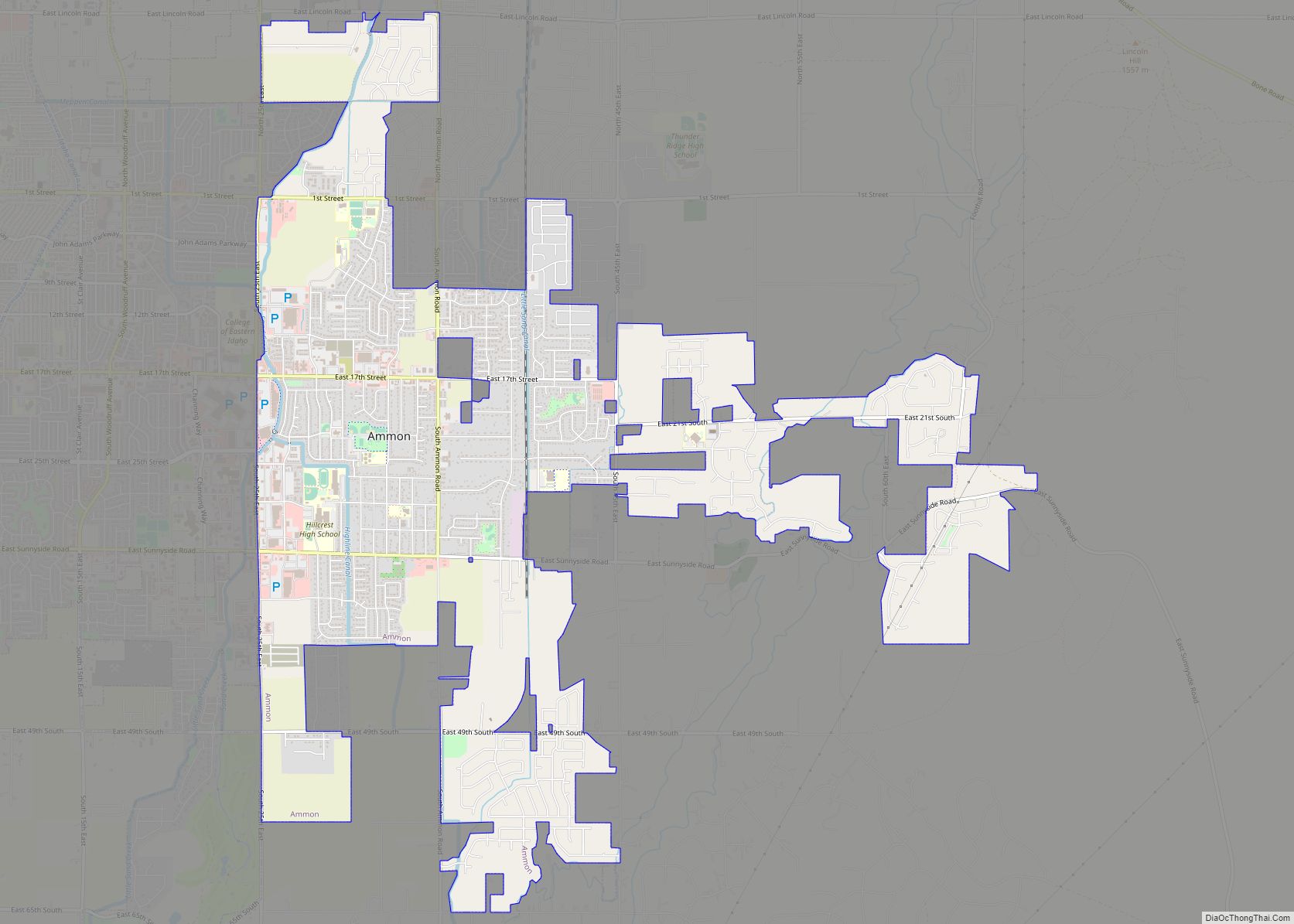
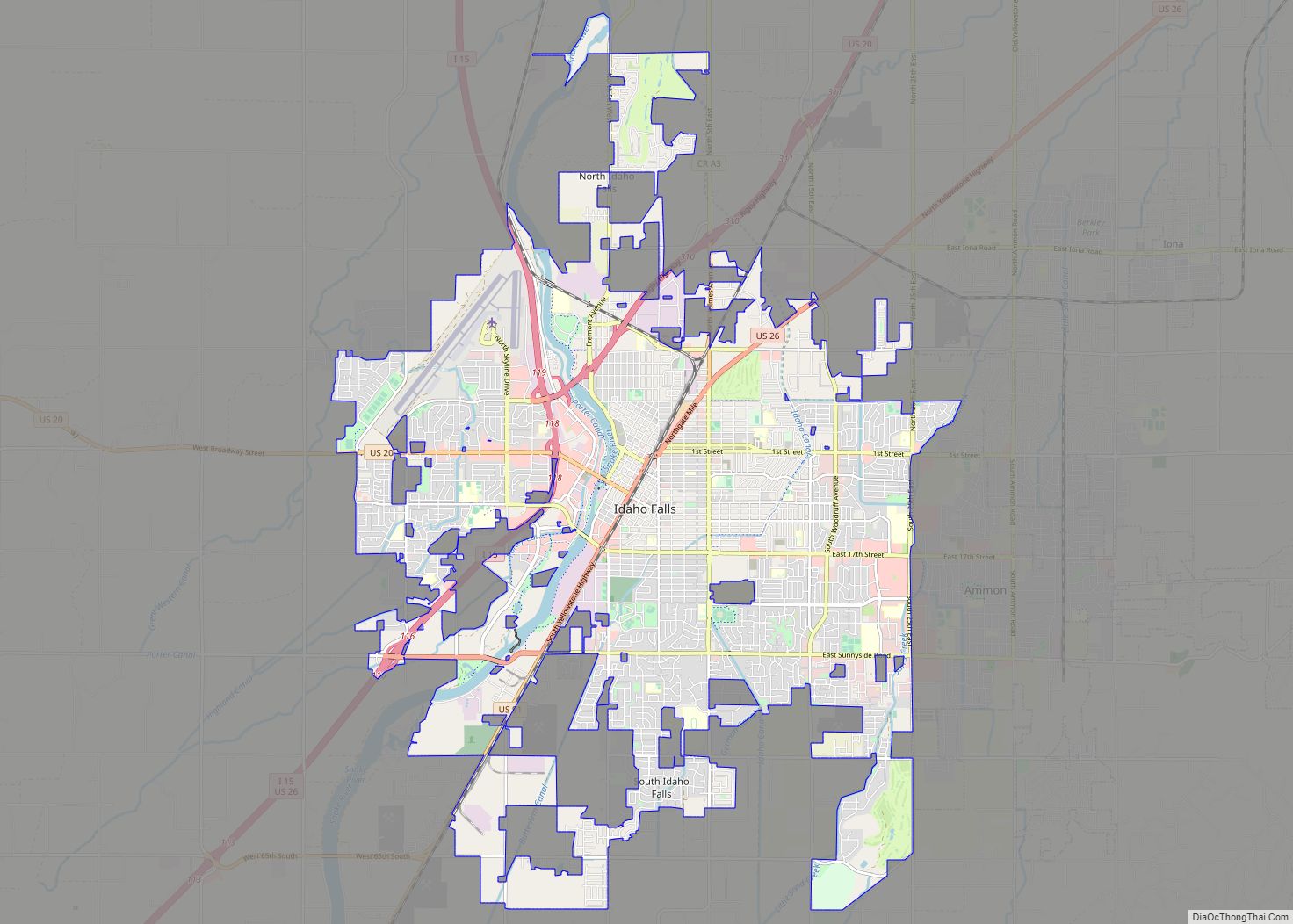
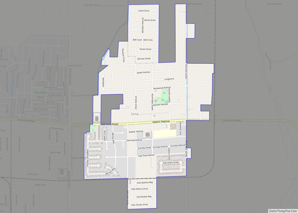
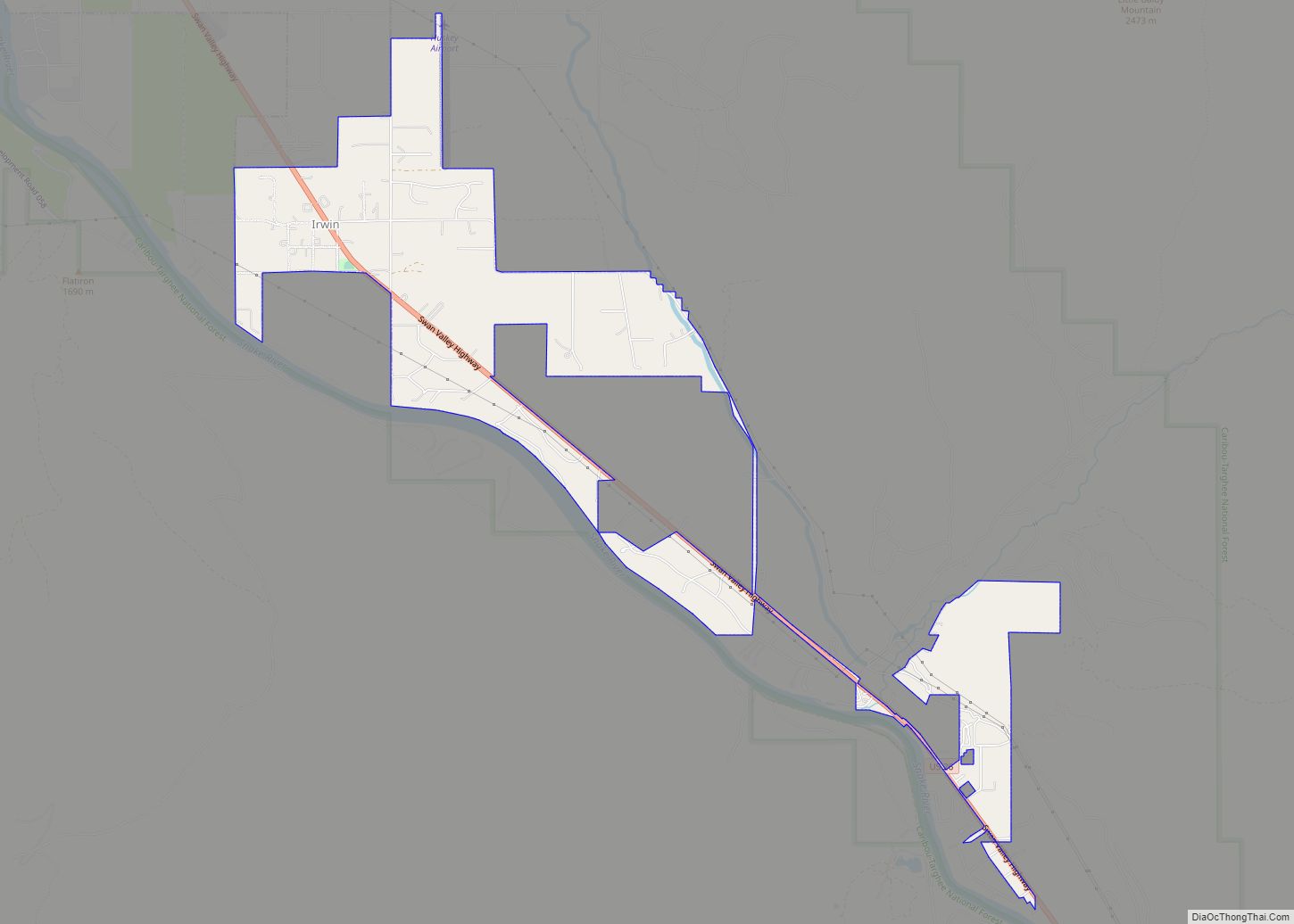
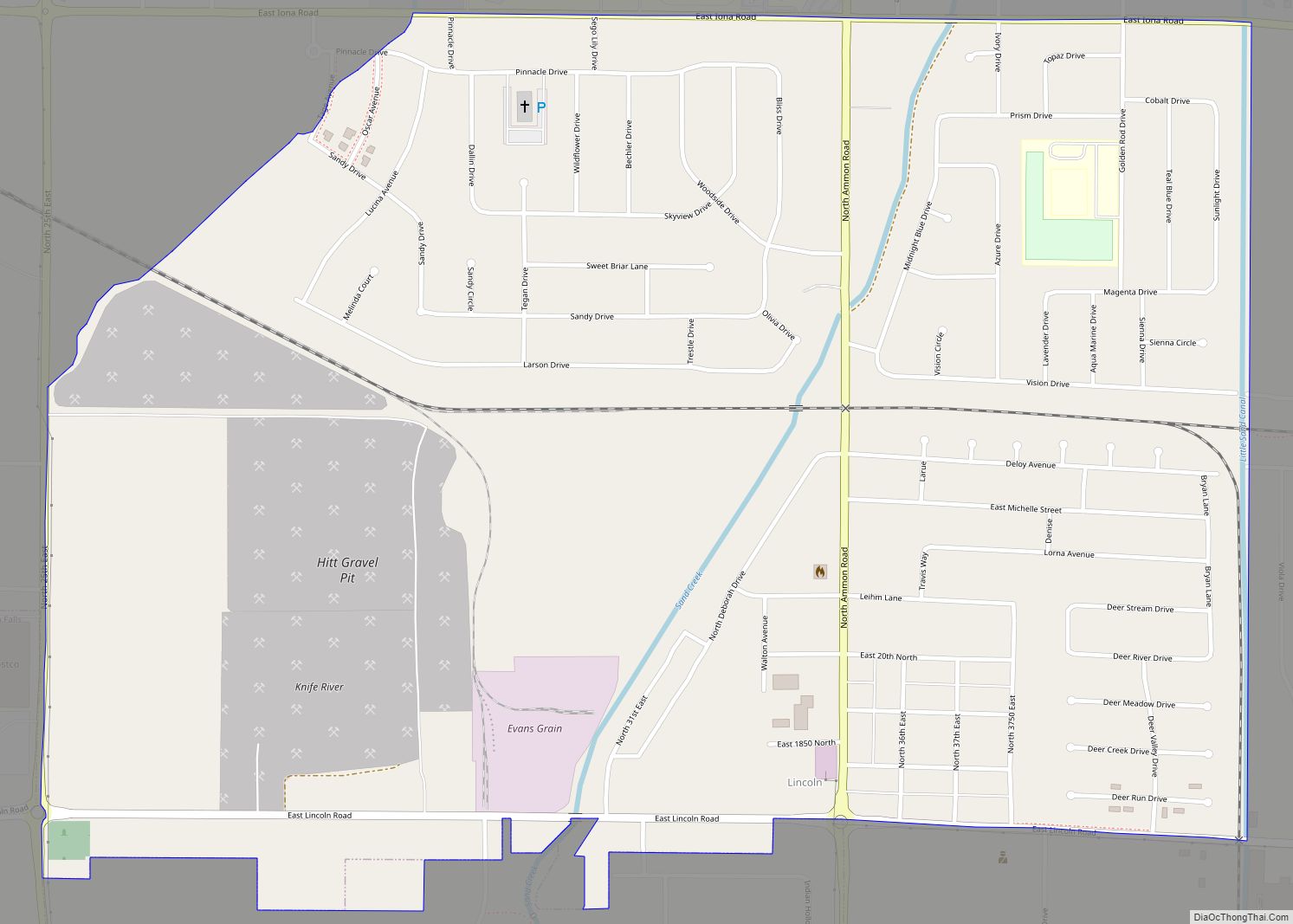
Lincoln is a census-designated place in Bonneville County, Idaho located just east of Idaho Falls, southwest of Iona and north of Ammon. As of the 2010 census, its population was 3,647. Lincoln has an area of 1.465 square miles (3.79 km), all of it land.
Lincoln as a separate place came into being when a school house was built there in 1899 by residents who felt it was too far to send their children to school in Iona. It was originally named Centerville. In 1903 the Utah Sugar Company bought a piece of land here and built a factory. The builder of the factory was Heber C. Austin who also built many houses for factory workers and planted many trees. In 1904 a Latter-day Saint branch was organized in Lincoln as part of the Iona Ward. In 1905 the branch was made a separate ward with Austin as the bishop.
In 1930 the population of Lincoln was 500, 83% of whom were Latter-day Saints. In 2000 the population of Lincoln was around 500 as well, however by 2010 urban expansion in the Idaho Falls metropolitan area increased the population.
| Name: | Lincoln CDP |
|---|---|
| LSAD Code: | 57 |
| LSAD Description: | CDP (suffix) |
| State: | Idaho |
| County: | Bonneville County |
| FIPS code: | 1647080 |
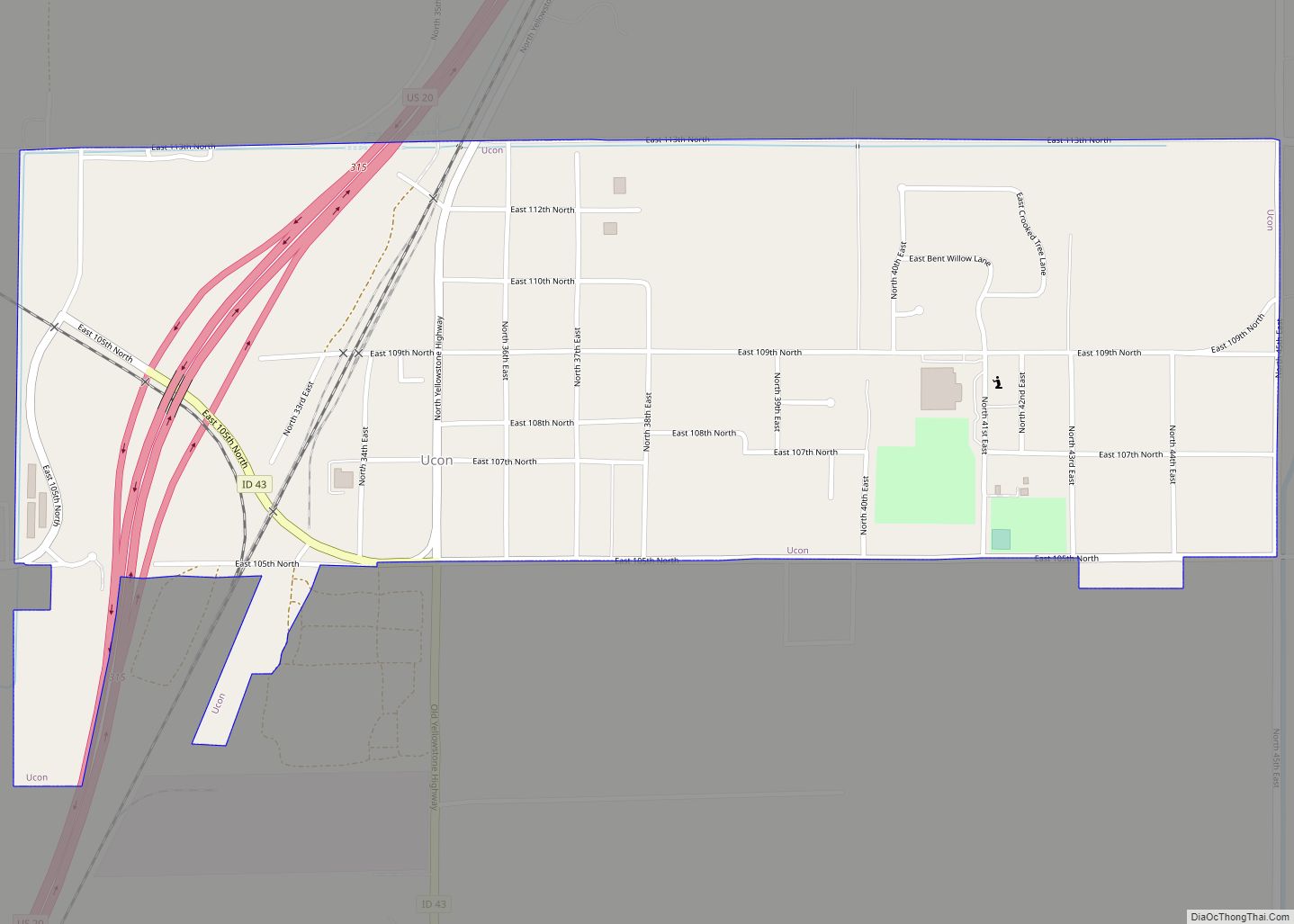
Online Interactive Map
Click on ![]() to view map in "full screen" mode.
to view map in "full screen" mode.
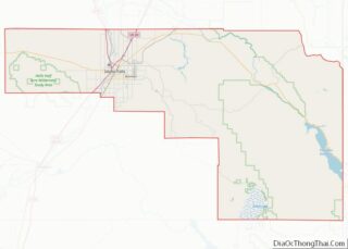
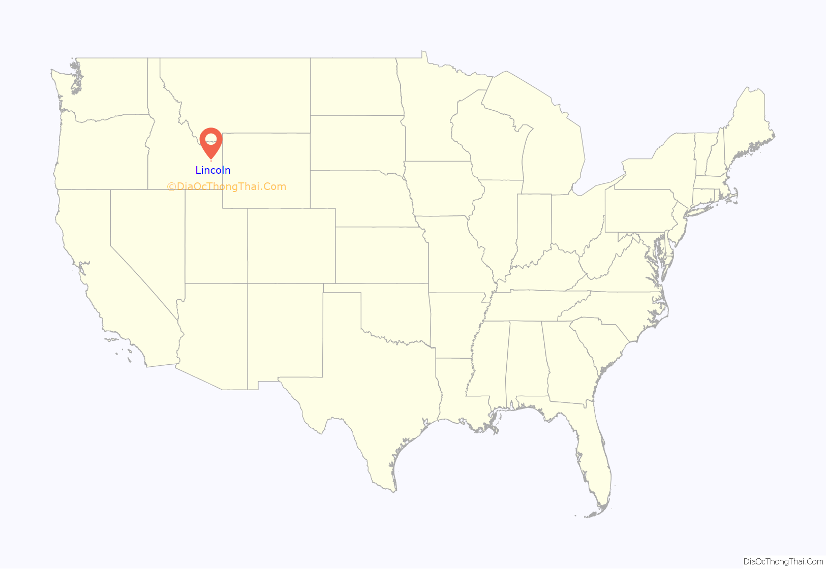
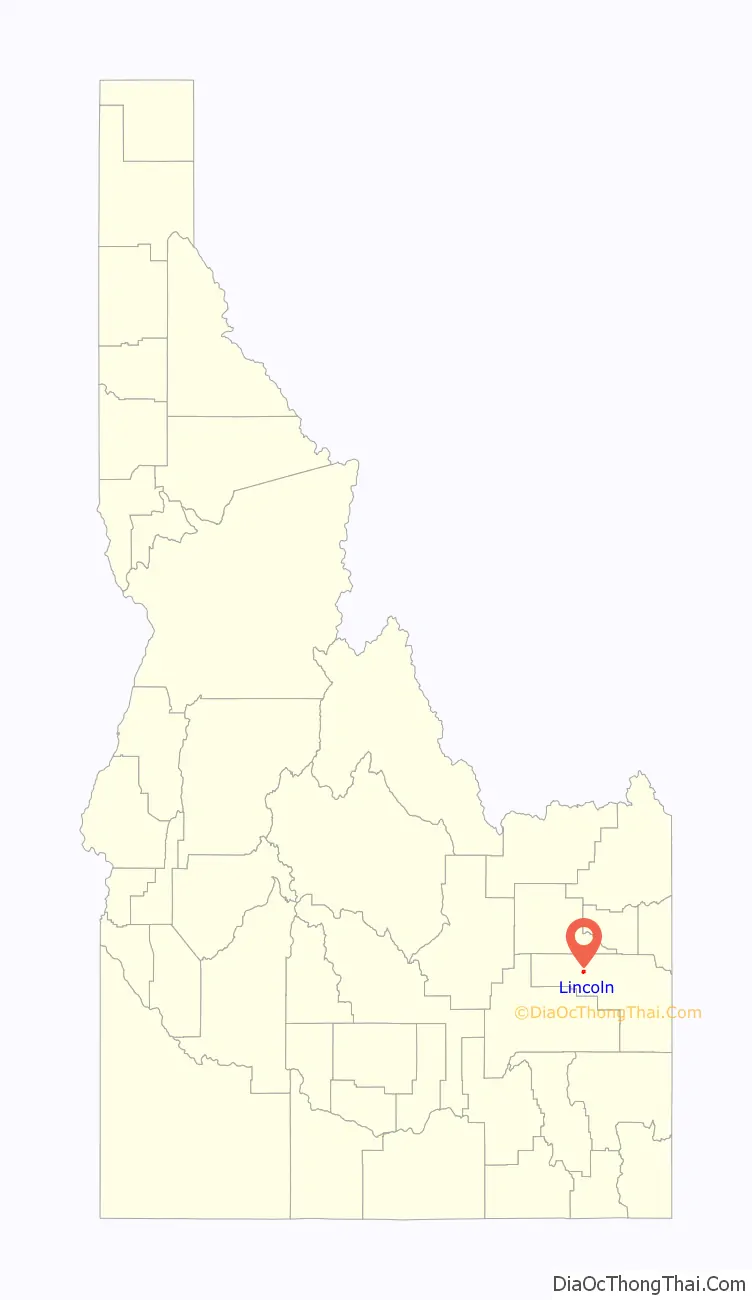
Lincoln location map. Where is Lincoln CDP?
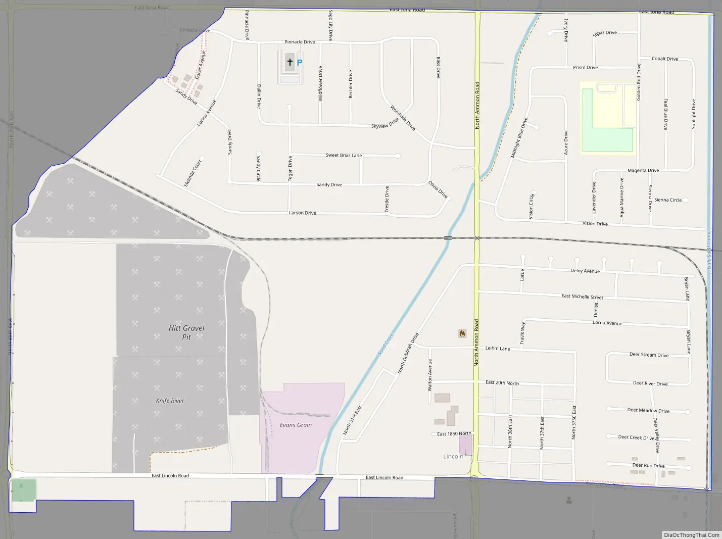
Lincoln Road Map
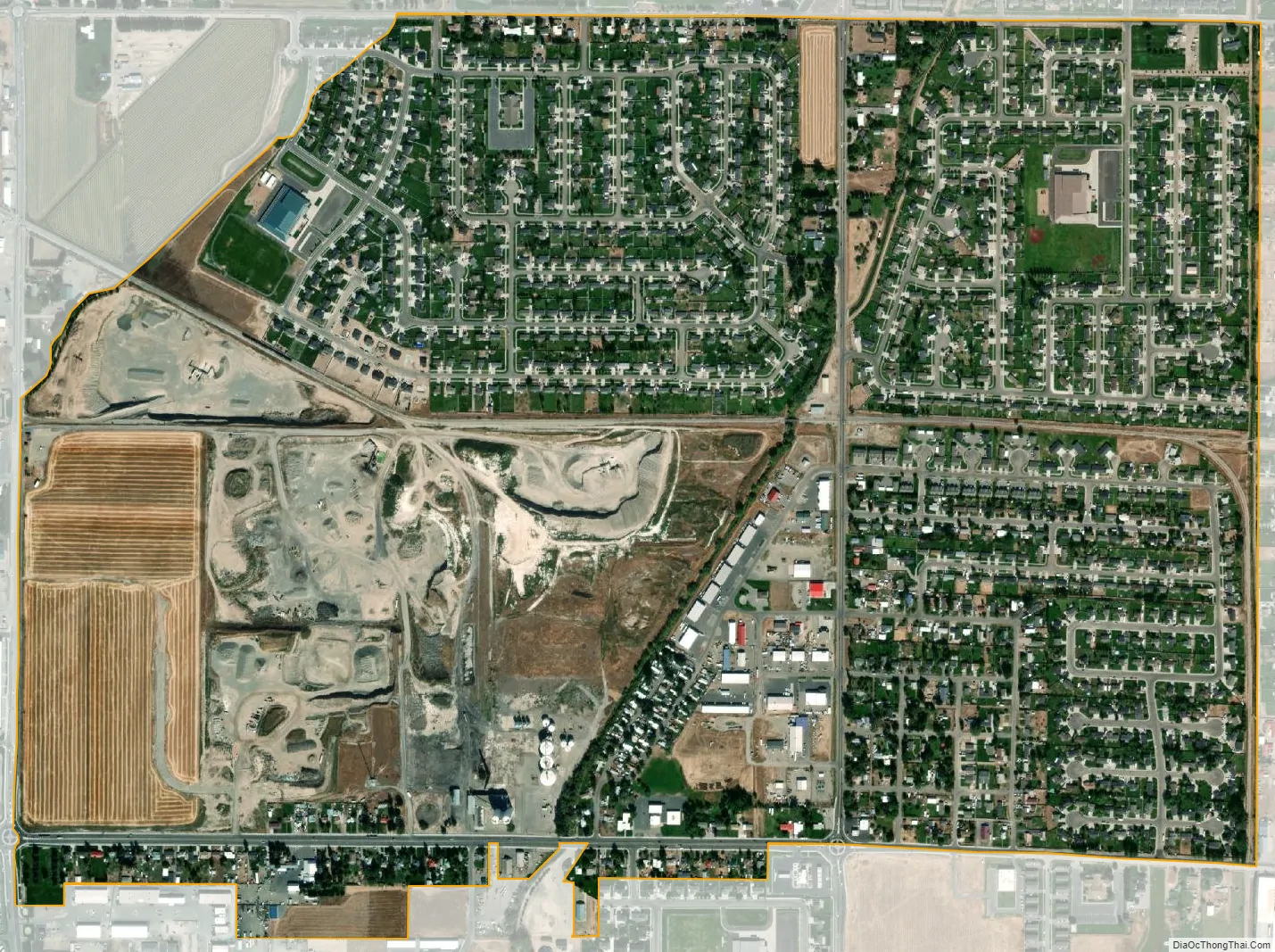
Lincoln city Satellite Map
See also
Map of Idaho State and its subdivision:- Ada
- Adams
- Bannock
- Bear Lake
- Benewah
- Bingham
- Blaine
- Boise
- Bonner
- Bonneville
- Boundary
- Butte
- Camas
- Canyon
- Caribou
- Cassia
- Clark
- Clearwater
- Custer
- Elmore
- Franklin
- Fremont
- Gem
- Gooding
- Idaho
- Jefferson
- Jerome
- Kootenai
- Latah
- Lemhi
- Lewis
- Lincoln
- Madison
- Minidoka
- Nez Perce
- Oneida
- Owyhee
- Payette
- Power
- Shoshone
- Teton
- Twin Falls
- Valley
- Washington
- Alabama
- Alaska
- Arizona
- Arkansas
- California
- Colorado
- Connecticut
- Delaware
- District of Columbia
- Florida
- Georgia
- Hawaii
- Idaho
- Illinois
- Indiana
- Iowa
- Kansas
- Kentucky
- Louisiana
- Maine
- Maryland
- Massachusetts
- Michigan
- Minnesota
- Mississippi
- Missouri
- Montana
- Nebraska
- Nevada
- New Hampshire
- New Jersey
- New Mexico
- New York
- North Carolina
- North Dakota
- Ohio
- Oklahoma
- Oregon
- Pennsylvania
- Rhode Island
- South Carolina
- South Dakota
- Tennessee
- Texas
- Utah
- Vermont
- Virginia
- Washington
- West Virginia
- Wisconsin
- Wyoming