Midvale is a city in Washington County, Idaho, United States. The population was 171 at the 2010 census, rising to 193 as of 2020.
| Name: | Midvale city |
|---|---|
| LSAD Code: | 25 |
| LSAD Description: | city (suffix) |
| State: | Idaho |
| County: | Washington County |
| Elevation: | 2,543 ft (775 m) |
| Total Area: | 2.64 sq mi (6.84 km²) |
| Land Area: | 2.57 sq mi (6.66 km²) |
| Water Area: | 0.07 sq mi (0.18 km²) |
| Total Population: | 171 |
| Population Density: | 61.87/sq mi (23.89/km²) |
| ZIP code: | 83645 |
| Area code: | 208, 986 |
| FIPS code: | 1652750 |
| GNISfeature ID: | 0396891 |
| Website: | midvaleidaho.com |
Online Interactive Map
Click on ![]() to view map in "full screen" mode.
to view map in "full screen" mode.
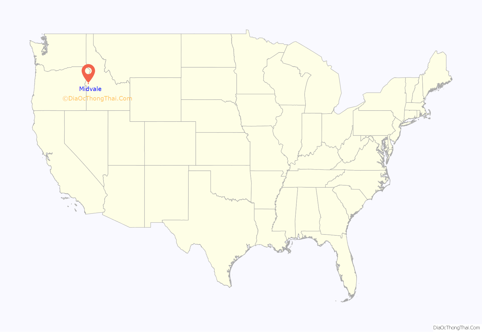
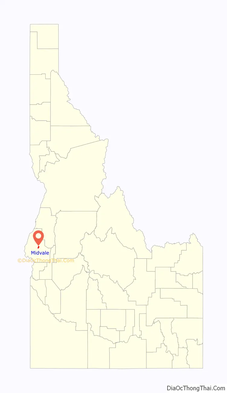
Midvale location map. Where is Midvale city?
History
The city was named when the valley in which it stands was called Middle Valley. The first settlers came in 1868 and in 1876 a post office and school were begun. In 1884 the Middle Valley Ditch was undertaken: in 1885 the first store was built, and in 1898 the P&IN Rail Road came through. From 1870 to 1900 stock raising was the chief industry, but today Midvale serves a diversified farming area. Midvale is the hometown of former U.S. Senator Larry Craig.
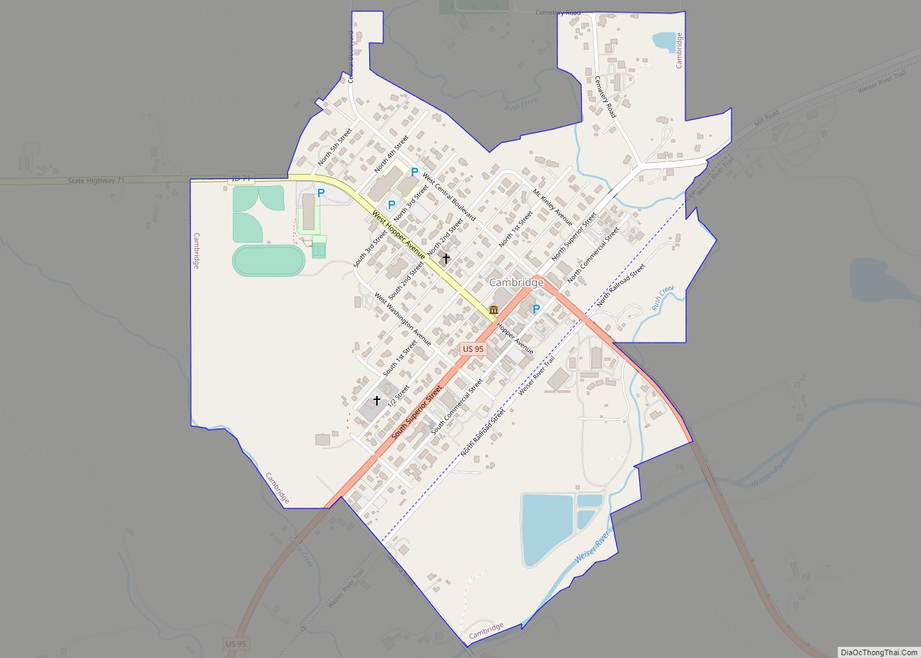
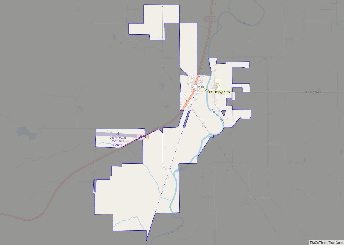
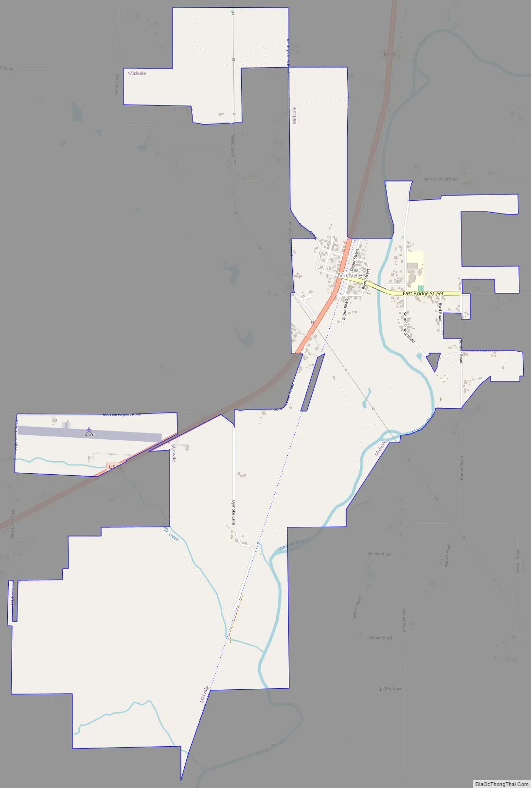
Midvale Road Map
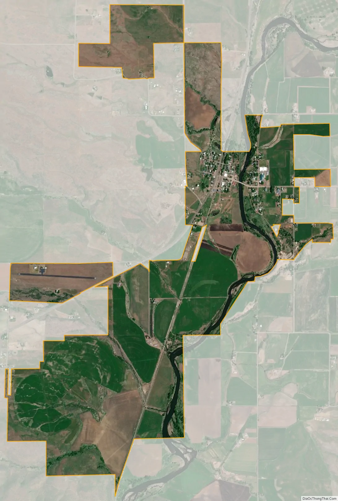
Midvale city Satellite Map
Geography
Midvale is at an elevation of 2,543 feet (775 m) above sea level.
According to the United States Census Bureau, the city has a total area of 2.87 square miles (7.43 km), of which 2.79 square miles (7.23 km) is land and 0.08 square miles (0.21 km) is water.
See also
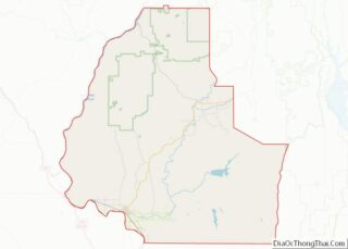
Map of Idaho State and its subdivision:- Ada
- Adams
- Bannock
- Bear Lake
- Benewah
- Bingham
- Blaine
- Boise
- Bonner
- Bonneville
- Boundary
- Butte
- Camas
- Canyon
- Caribou
- Cassia
- Clark
- Clearwater
- Custer
- Elmore
- Franklin
- Fremont
- Gem
- Gooding
- Idaho
- Jefferson
- Jerome
- Kootenai
- Latah
- Lemhi
- Lewis
- Lincoln
- Madison
- Minidoka
- Nez Perce
- Oneida
- Owyhee
- Payette
- Power
- Shoshone
- Teton
- Twin Falls
- Valley
- Washington
- Alabama
- Alaska
- Arizona
- Arkansas
- California
- Colorado
- Connecticut
- Delaware
- District of Columbia
- Florida
- Georgia
- Hawaii
- Idaho
- Illinois
- Indiana
- Iowa
- Kansas
- Kentucky
- Louisiana
- Maine
- Maryland
- Massachusetts
- Michigan
- Minnesota
- Mississippi
- Missouri
- Montana
- Nebraska
- Nevada
- New Hampshire
- New Jersey
- New Mexico
- New York
- North Carolina
- North Dakota
- Ohio
- Oklahoma
- Oregon
- Pennsylvania
- Rhode Island
- South Carolina
- South Dakota
- Tennessee
- Texas
- Utah
- Vermont
- Virginia
- Washington
- West Virginia
- Wisconsin
- Wyoming