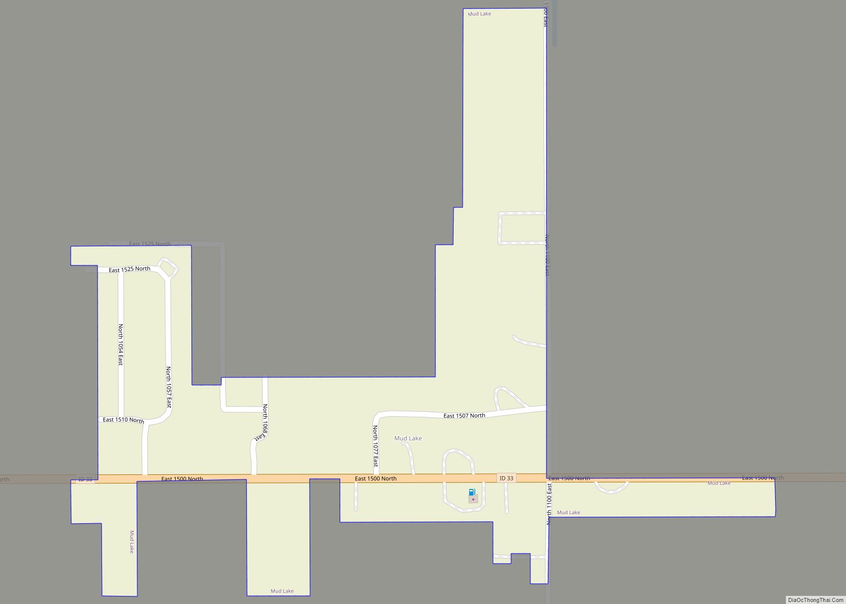
Mud Lake is a city in Jefferson County, Idaho, United States. It is part of the Idaho Falls, Idaho Metropolitan Statistical Area. The population was 358 at the 2010 census. Since then the population has grown to 419 as seen in the 2020 census as well as idaho demographics
Mud Lake is also home to a large lake (3094.9 acres) Idaho.gov
| Name: | Mud Lake city |
|---|---|
| LSAD Code: | 25 |
| LSAD Description: | city (suffix) |
| State: | Idaho |
| County: | Jefferson County |
| Elevation: | 4,790 ft (1,460 m) |
| Total Area: | 0.14 sq mi (0.37 km²) |
| Land Area: | 0.14 sq mi (0.37 km²) |
| Water Area: | 0.00 sq mi (0.00 km²) |
| Total Population: | 358 |
| Population Density: | 2,950.70/sq mi (1,136.06/km²) |
| ZIP code: | 83450 |
| Area code: | 208 |
| FIPS code: | 1655450 |
| GNISfeature ID: | 0397940 |
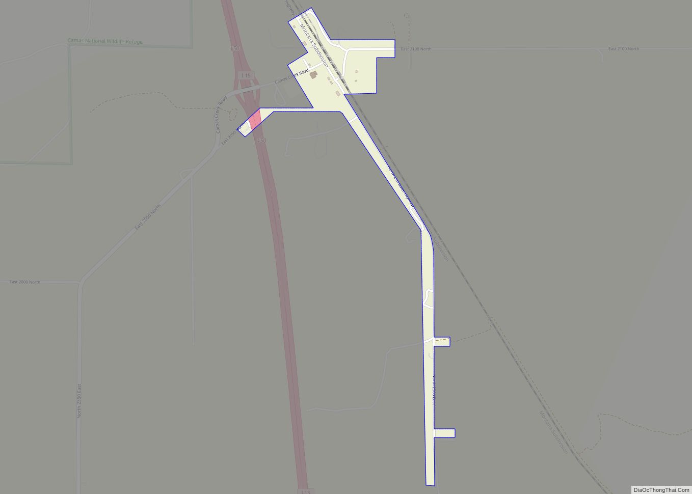
Online Interactive Map
Click on ![]() to view map in "full screen" mode.
to view map in "full screen" mode.
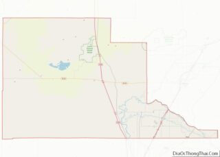
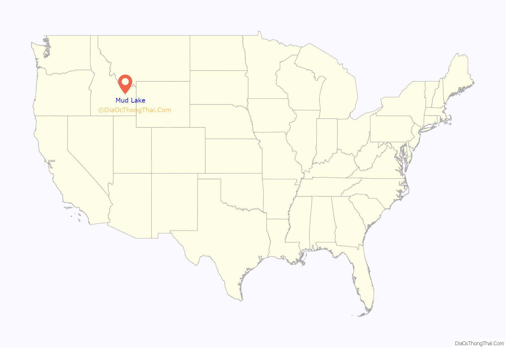
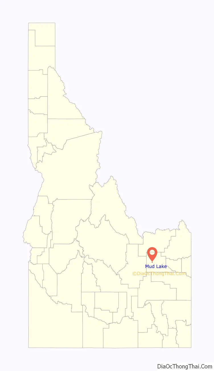
Mud Lake location map. Where is Mud Lake city?
History
In 1919 the Latter-day Saint settlers in Mud Lake were organized into a branch.
Mud Lake made national news in 1981 when it had an infestation of jackrabbits.
On August 21, 2017, Mud Lake became part of the ‘path of totality’ during the total solar eclipse.
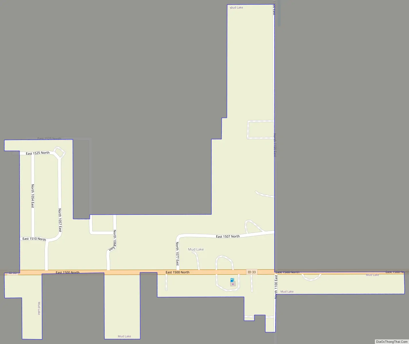
Mud Lake Road Map
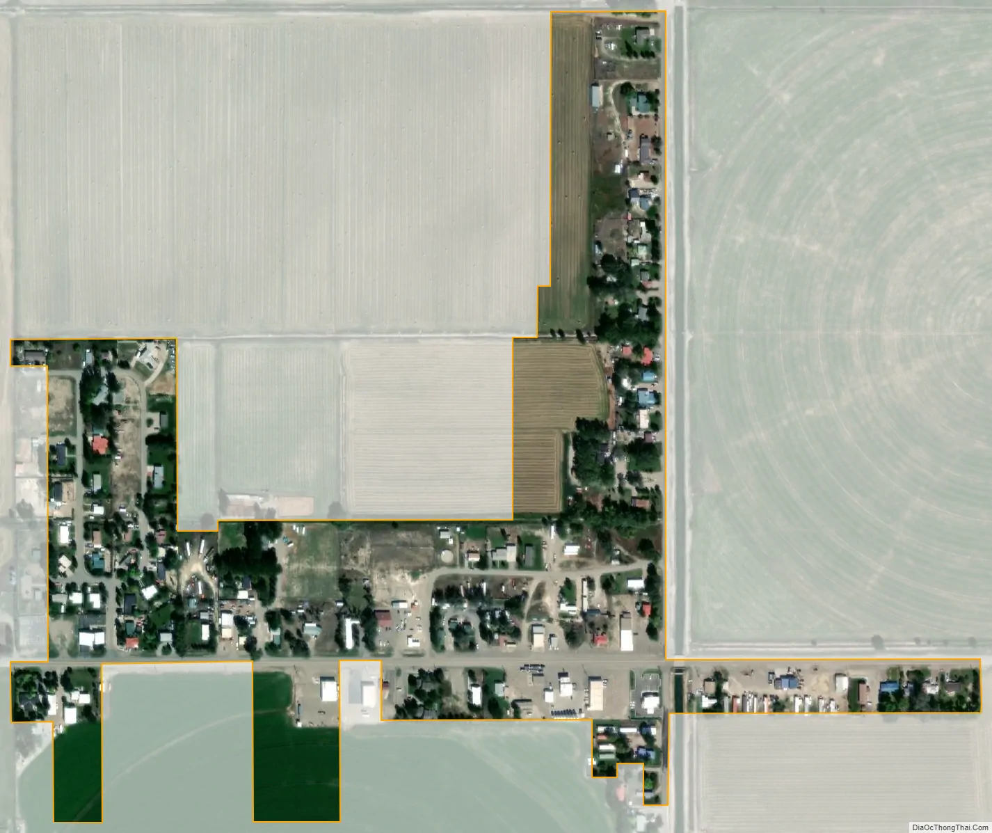
Mud Lake city Satellite Map
Geography
Mud Lake is located at 43°50′27″N 112°28′55″W / 43.84083°N 112.48194°W / 43.84083; -112.48194 (43.840818, -112.481806).
According to the United States Census Bureau, the city has a total area of 0.16 square miles (0.41 km), all of it land.
See also
Map of Idaho State and its subdivision:- Ada
- Adams
- Bannock
- Bear Lake
- Benewah
- Bingham
- Blaine
- Boise
- Bonner
- Bonneville
- Boundary
- Butte
- Camas
- Canyon
- Caribou
- Cassia
- Clark
- Clearwater
- Custer
- Elmore
- Franklin
- Fremont
- Gem
- Gooding
- Idaho
- Jefferson
- Jerome
- Kootenai
- Latah
- Lemhi
- Lewis
- Lincoln
- Madison
- Minidoka
- Nez Perce
- Oneida
- Owyhee
- Payette
- Power
- Shoshone
- Teton
- Twin Falls
- Valley
- Washington
- Alabama
- Alaska
- Arizona
- Arkansas
- California
- Colorado
- Connecticut
- Delaware
- District of Columbia
- Florida
- Georgia
- Hawaii
- Idaho
- Illinois
- Indiana
- Iowa
- Kansas
- Kentucky
- Louisiana
- Maine
- Maryland
- Massachusetts
- Michigan
- Minnesota
- Mississippi
- Missouri
- Montana
- Nebraska
- Nevada
- New Hampshire
- New Jersey
- New Mexico
- New York
- North Carolina
- North Dakota
- Ohio
- Oklahoma
- Oregon
- Pennsylvania
- Rhode Island
- South Carolina
- South Dakota
- Tennessee
- Texas
- Utah
- Vermont
- Virginia
- Washington
- West Virginia
- Wisconsin
- Wyoming