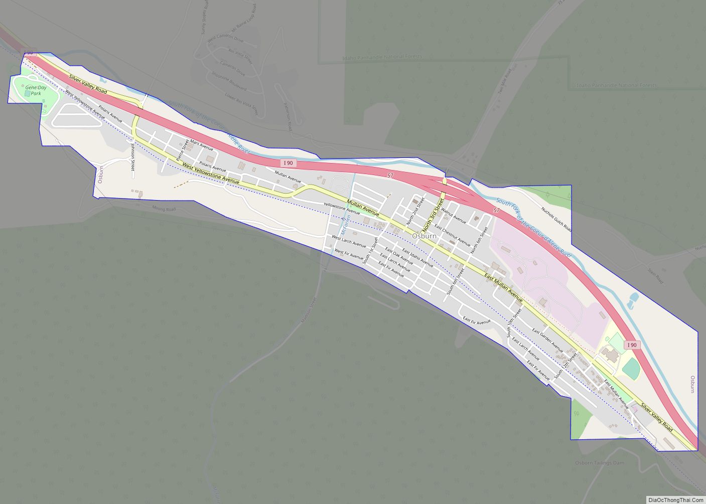
Osburn is a city in Shoshone County, Idaho, United States. Located in the Silver Valley mining region of northern Idaho, its population was 1,555 at the 2010 census.
| Name: | Osburn city |
|---|---|
| LSAD Code: | 25 |
| LSAD Description: | city (suffix) |
| State: | Idaho |
| County: | Shoshone County |
| Elevation: | 2,520 ft (770 m) |
| Total Area: | 1.34 sq mi (3.46 km²) |
| Land Area: | 1.32 sq mi (3.41 km²) |
| Water Area: | 0.02 sq mi (0.05 km²) |
| Total Population: | 1,555 |
| Population Density: | 1,181.47/sq mi (456.13/km²) |
| ZIP code: | 83849 |
| Area code: | 208, 986 |
| FIPS code: | 1659590 |
| GNISfeature ID: | 0396990 |
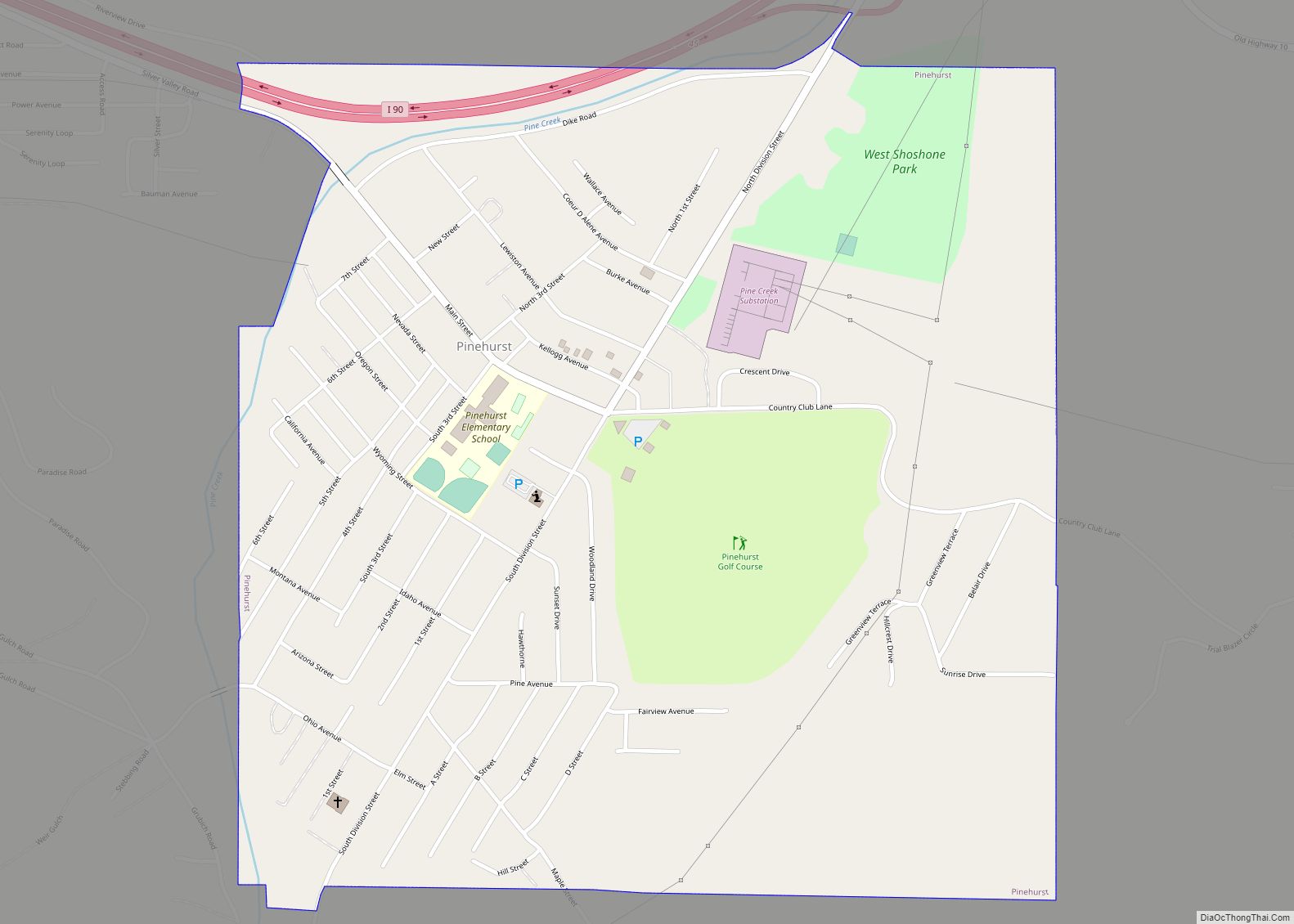
Online Interactive Map
Click on ![]() to view map in "full screen" mode.
to view map in "full screen" mode.
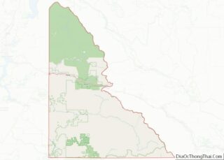
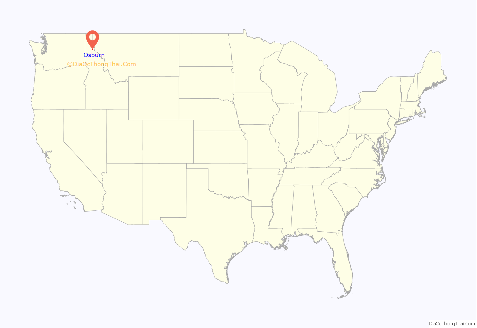
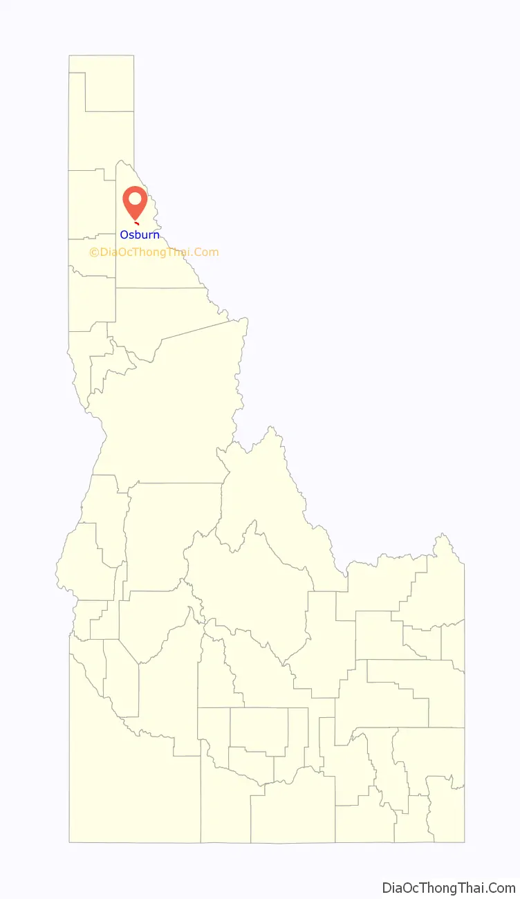
Osburn location map. Where is Osburn city?
History
The city was named for Bill Osborne, who established a trading post here.
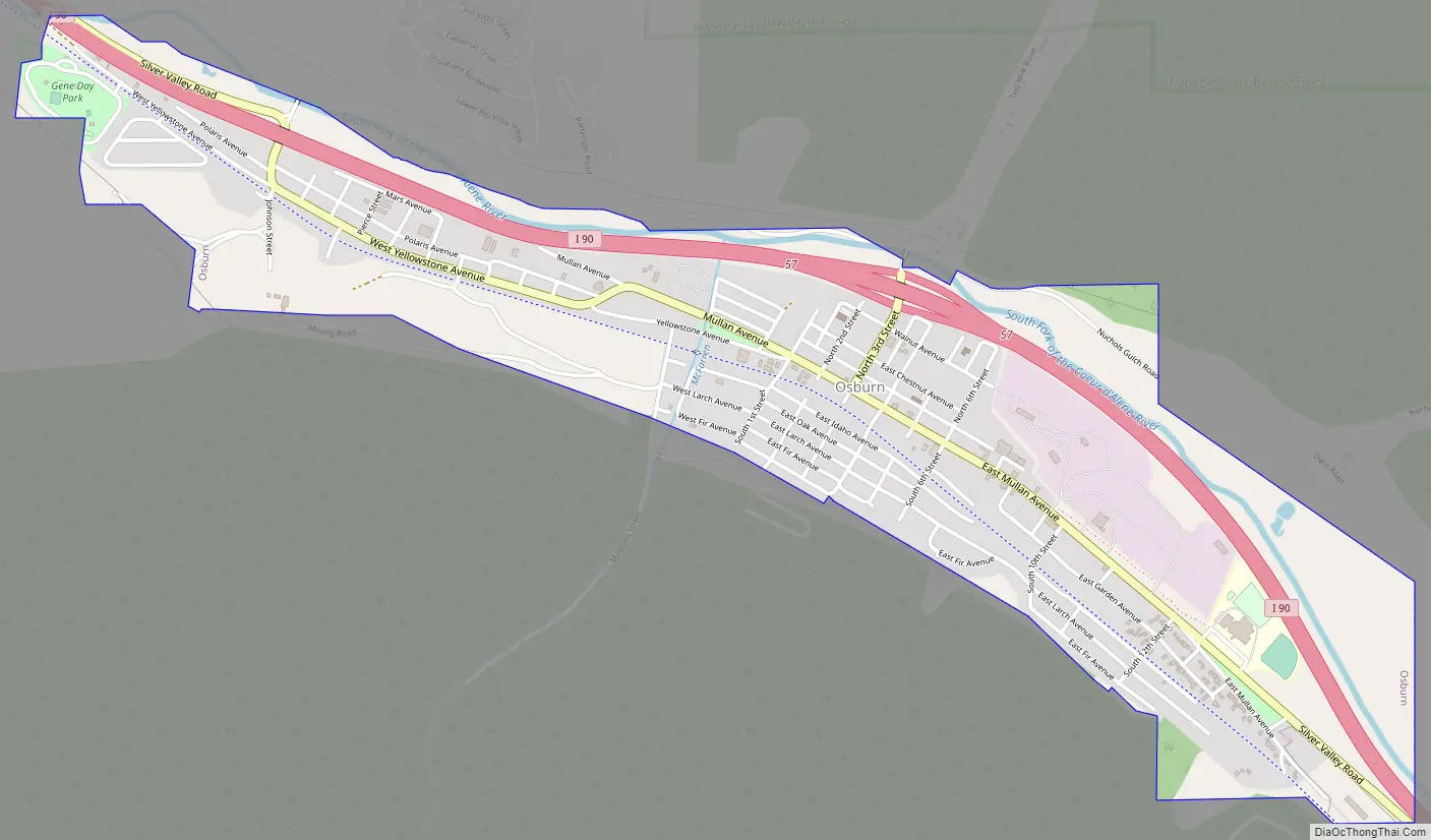
Osburn Road Map
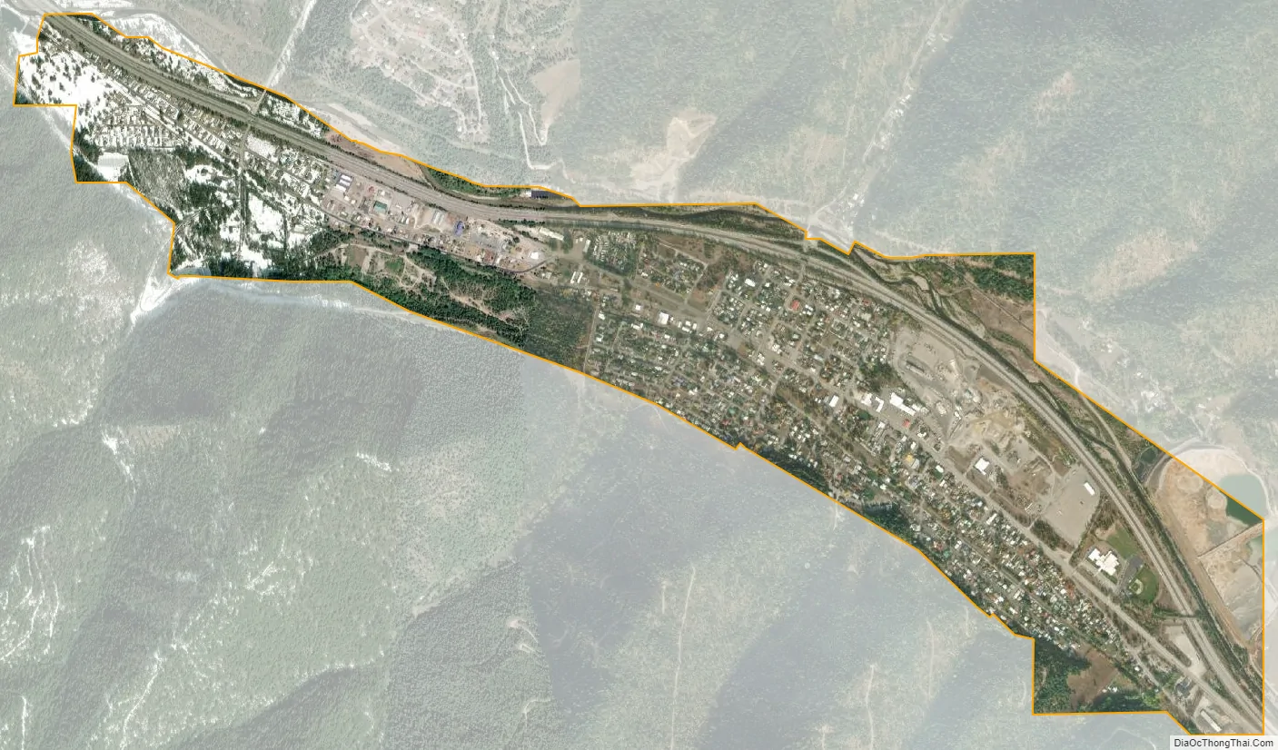
Osburn city Satellite Map
Geography
Osburn is located at 47°30′23″N 116°0′20″W / 47.50639°N 116.00556°W / 47.50639; -116.00556 (47.506464, -116.005535), at an elevation of 2,520 feet (768 m) above sea level.
According to the United States Census Bureau, the city has a total area of 1.33 square miles (3.44 km), of which, 1.31 square miles (3.39 km) is land and 0.02 square miles (0.05 km) is water.
See also
Map of Idaho State and its subdivision:- Ada
- Adams
- Bannock
- Bear Lake
- Benewah
- Bingham
- Blaine
- Boise
- Bonner
- Bonneville
- Boundary
- Butte
- Camas
- Canyon
- Caribou
- Cassia
- Clark
- Clearwater
- Custer
- Elmore
- Franklin
- Fremont
- Gem
- Gooding
- Idaho
- Jefferson
- Jerome
- Kootenai
- Latah
- Lemhi
- Lewis
- Lincoln
- Madison
- Minidoka
- Nez Perce
- Oneida
- Owyhee
- Payette
- Power
- Shoshone
- Teton
- Twin Falls
- Valley
- Washington
- Alabama
- Alaska
- Arizona
- Arkansas
- California
- Colorado
- Connecticut
- Delaware
- District of Columbia
- Florida
- Georgia
- Hawaii
- Idaho
- Illinois
- Indiana
- Iowa
- Kansas
- Kentucky
- Louisiana
- Maine
- Maryland
- Massachusetts
- Michigan
- Minnesota
- Mississippi
- Missouri
- Montana
- Nebraska
- Nevada
- New Hampshire
- New Jersey
- New Mexico
- New York
- North Carolina
- North Dakota
- Ohio
- Oklahoma
- Oregon
- Pennsylvania
- Rhode Island
- South Carolina
- South Dakota
- Tennessee
- Texas
- Utah
- Vermont
- Virginia
- Washington
- West Virginia
- Wisconsin
- Wyoming