Paris is a city and county seat of Bear Lake County, Idaho, United States. Located on the western side of the Bear Lake Valley, the city’s population was 513 at the 2010 census, down from 576 in 2000. Paris was settled on September 26, 1863, by pioneer settlers of the Church of Jesus Christ of Latter-day Saints.
Paris was settled by a group of dedicated Mormons led by Charles C Rich. During early years, pioneers suffered difficulties with the harsh cold climate, however their determination and faith kept them from leaving the area.
Paris is the location of the Bear Lake Stake Tabernacle, a sandstone church designed by Joseph Don Carlos Young and built between 1884 and 1889. It seats around 1,400 people.
| Name: | Paris city |
|---|---|
| LSAD Code: | 25 |
| LSAD Description: | city (suffix) |
| State: | Idaho |
| County: | Bear Lake County |
| Elevation: | 5,965 ft (1,818 m) |
| Total Area: | 3.52 sq mi (9.11 km²) |
| Land Area: | 3.49 sq mi (9.03 km²) |
| Water Area: | 0.03 sq mi (0.07 km²) |
| Total Population: | 513 |
| Population Density: | 149.37/sq mi (57.68/km²) |
| ZIP code: | 83261, 83287 |
| Area code: | 208, 986 |
| FIPS code: | 1660580 |
| GNISfeature ID: | 0388197 |
Online Interactive Map
Click on ![]() to view map in "full screen" mode.
to view map in "full screen" mode.
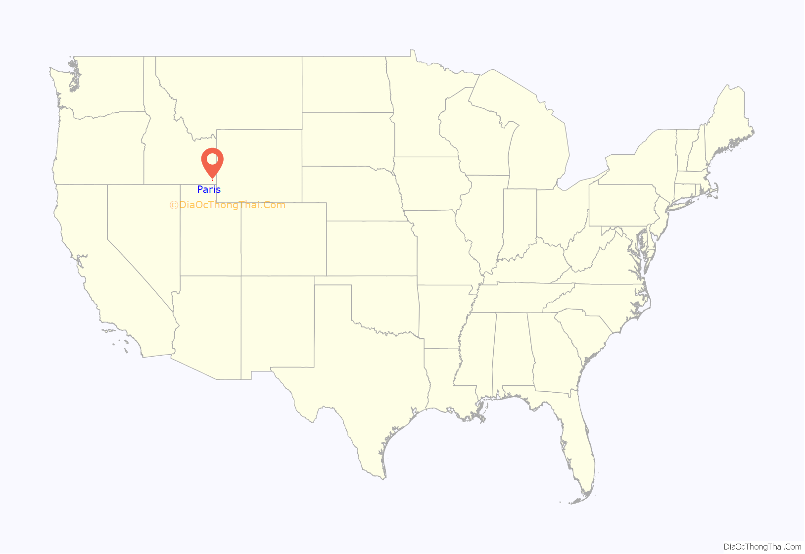
Paris location map. Where is Paris city?
History
Paris was founded by Mormon pioneers, under the direction of Charles C. Rich on September 29, 1863. The settlers believed the town to be located in Utah until a survey in 1872 showed that it was in Idaho.
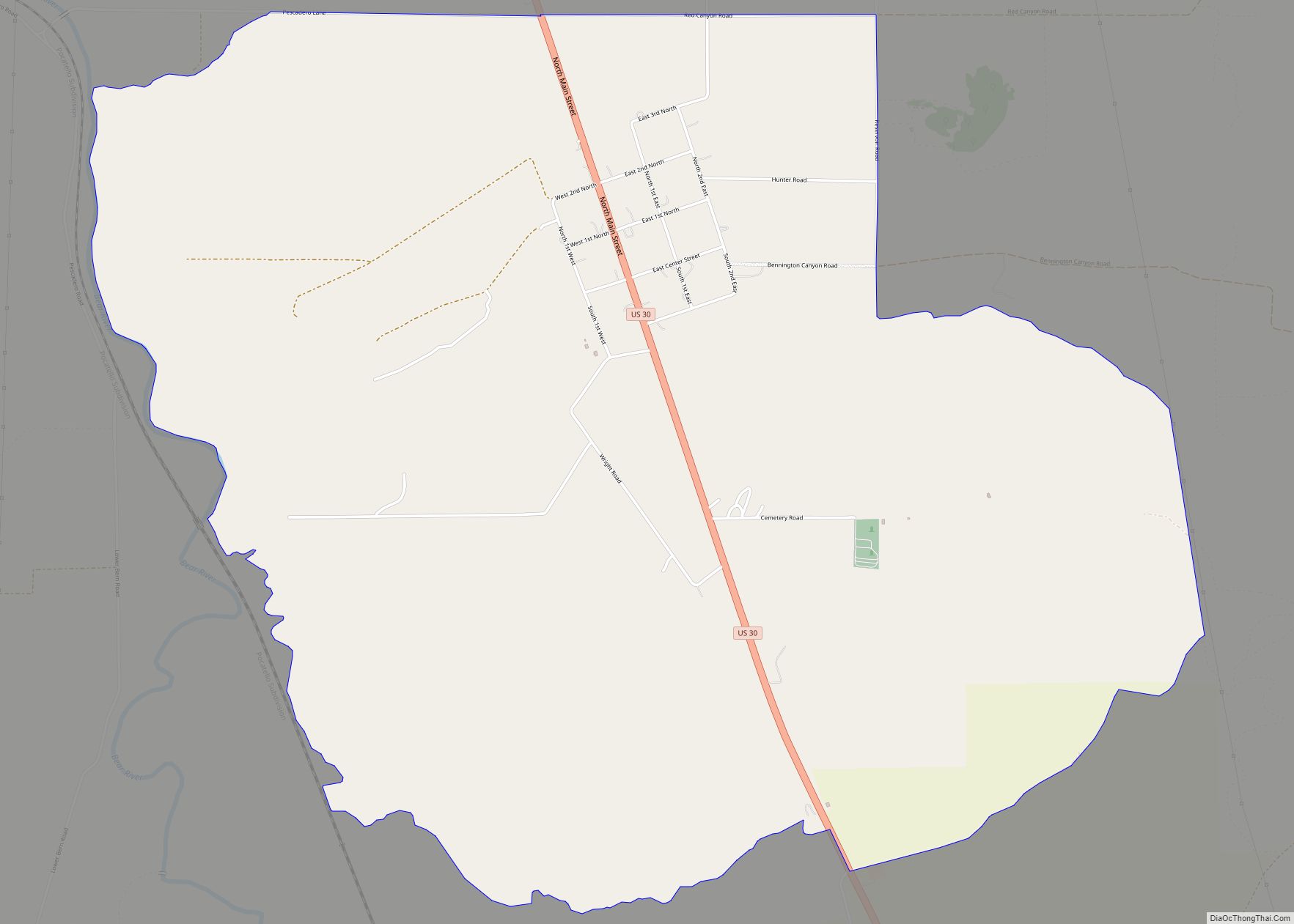
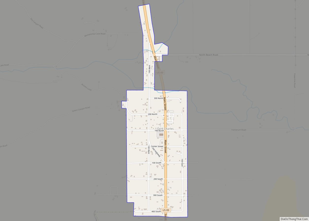
Paris Road Map
Paris city Satellite Map
Geography
According to the United States Census Bureau, the city has a total area of 3.51 square miles (9.09 km), of which, 3.48 square miles (9.01 km) is land and 0.03 square miles (0.08 km) is water.
Paris lies in a high valley of the Rocky Mountains, at nearly 6,000 feet (1,830 m) in elevation.
Climate
According to the Köppen climate classification, Paris has a warm-summer humid continental climate (Köppen climate classification: Dfb). Due to the high elevation, cold winters, late springs and mild summers are the norm for Paris and the area. Most of the surrounding country is used for ranching.
See also
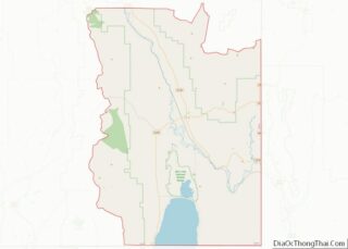
Map of Idaho State and its subdivision:- Ada
- Adams
- Bannock
- Bear Lake
- Benewah
- Bingham
- Blaine
- Boise
- Bonner
- Bonneville
- Boundary
- Butte
- Camas
- Canyon
- Caribou
- Cassia
- Clark
- Clearwater
- Custer
- Elmore
- Franklin
- Fremont
- Gem
- Gooding
- Idaho
- Jefferson
- Jerome
- Kootenai
- Latah
- Lemhi
- Lewis
- Lincoln
- Madison
- Minidoka
- Nez Perce
- Oneida
- Owyhee
- Payette
- Power
- Shoshone
- Teton
- Twin Falls
- Valley
- Washington
- Alabama
- Alaska
- Arizona
- Arkansas
- California
- Colorado
- Connecticut
- Delaware
- District of Columbia
- Florida
- Georgia
- Hawaii
- Idaho
- Illinois
- Indiana
- Iowa
- Kansas
- Kentucky
- Louisiana
- Maine
- Maryland
- Massachusetts
- Michigan
- Minnesota
- Mississippi
- Missouri
- Montana
- Nebraska
- Nevada
- New Hampshire
- New Jersey
- New Mexico
- New York
- North Carolina
- North Dakota
- Ohio
- Oklahoma
- Oregon
- Pennsylvania
- Rhode Island
- South Carolina
- South Dakota
- Tennessee
- Texas
- Utah
- Vermont
- Virginia
- Washington
- West Virginia
- Wisconsin
- Wyoming
