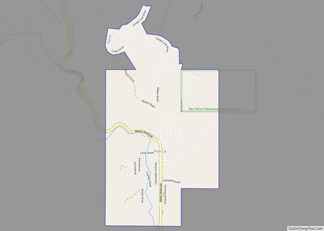
Pierce is a city in the northwest United States, located in Clearwater County, Idaho. The population was 508 at the 2010 census, down from 617 in 2000.
| Name: | Pierce city |
|---|---|
| LSAD Code: | 25 |
| LSAD Description: | city (suffix) |
| State: | Idaho |
| County: | Clearwater County |
| Elevation: | 3,094 ft (943 m) |
| Total Area: | 0.82 sq mi (2.14 km²) |
| Land Area: | 0.82 sq mi (2.14 km²) |
| Water Area: | 0.00 sq mi (0.00 km²) |
| Total Population: | 508 |
| Population Density: | 715.15/sq mi (276.17/km²) |
| ZIP code: | 83546 |
| Area code: | 208 |
| FIPS code: | 1662740 |
| GNISfeature ID: | 0397030 |
| Website: | www.cityofpierce.com |
Online Interactive Map
Click on ![]() to view map in "full screen" mode.
to view map in "full screen" mode.
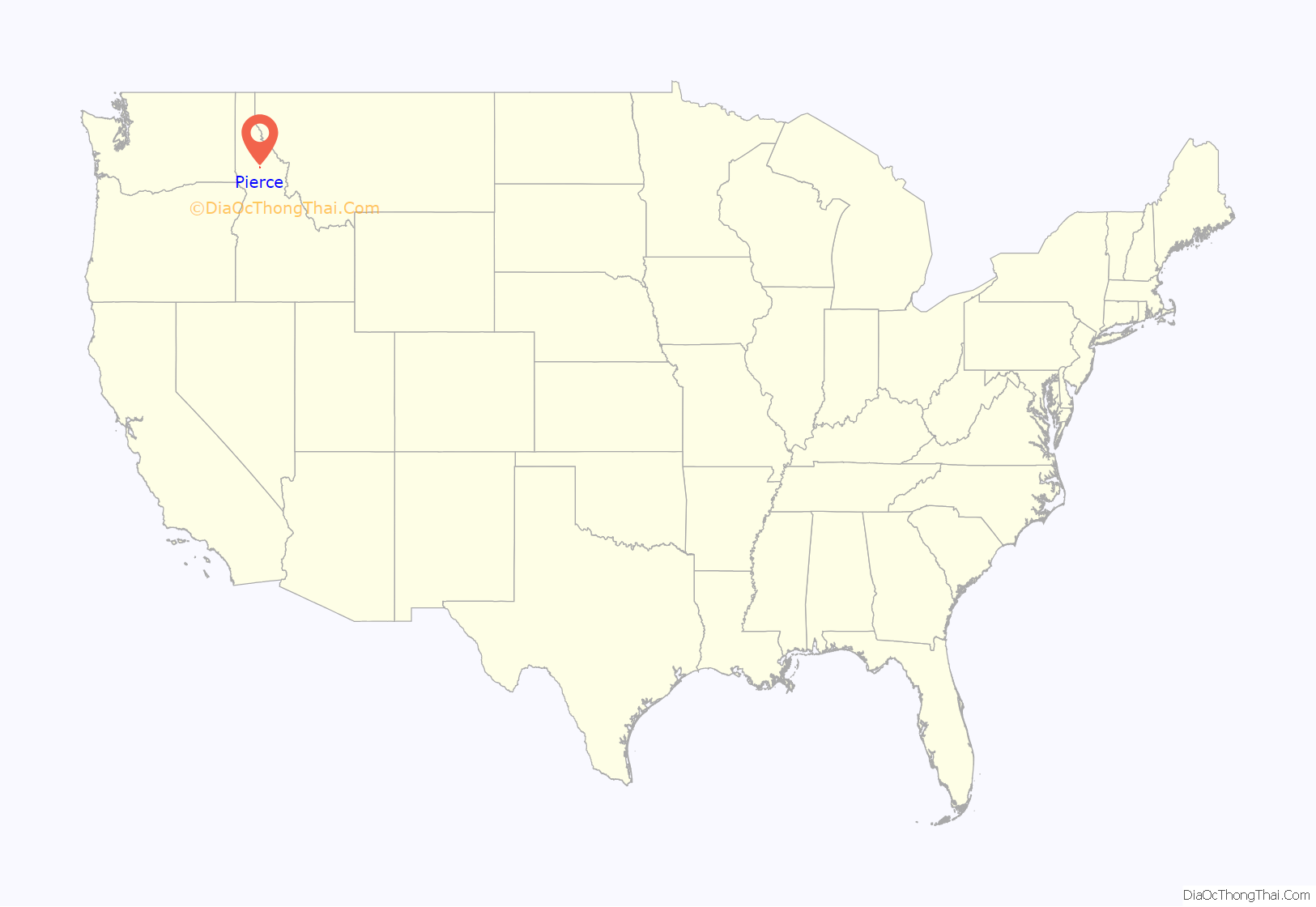
Pierce location map. Where is Pierce city?
History
The first discovery of gold in Idaho (then Washington Territory) was made by Elias D. Pierce and Wilbur F. Bassett on Orofino Creek (Canal Gulch) in October 1860, a mile (1.6 km) north of Pierce. On land ceded to the Nez Perce people at the Walla Walla Council in 1855 (with a 1859 treaty), the gold discovery led to significant reduction of that agreement in 1863, and the Nez Perce War in 1877.
Pierce was the first county seat for Shoshone County, which was established in January 1861 in Washington Territory and for most of its first year included most of present-day Idaho and Wyoming. The Pierce Courthouse, constructed in 1862, is Idaho’s oldest public building. Idaho Territory was established in 1863, and the county seat moved north to the Silver Valley in Murray in 1884 (and to Wallace in 1898). Present-day Clearwater County, formed in 1911, was part of Shoshone County until 1904, when it was annexed by Nez Perce County.
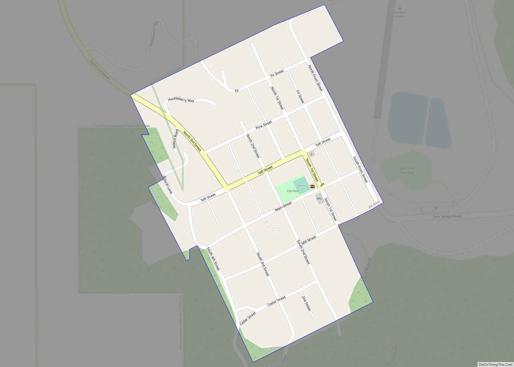
Pierce Road Map
Pierce city Satellite Map
Geography
Pierce is located on the Weippe Prairie, north of the Clearwater River canyon.
According to the United States Census Bureau, the city has a total area of 0.82 square miles (2.12 km), all of it land.
See also
Map of Idaho State and its subdivision:- Ada
- Adams
- Bannock
- Bear Lake
- Benewah
- Bingham
- Blaine
- Boise
- Bonner
- Bonneville
- Boundary
- Butte
- Camas
- Canyon
- Caribou
- Cassia
- Clark
- Clearwater
- Custer
- Elmore
- Franklin
- Fremont
- Gem
- Gooding
- Idaho
- Jefferson
- Jerome
- Kootenai
- Latah
- Lemhi
- Lewis
- Lincoln
- Madison
- Minidoka
- Nez Perce
- Oneida
- Owyhee
- Payette
- Power
- Shoshone
- Teton
- Twin Falls
- Valley
- Washington
- Alabama
- Alaska
- Arizona
- Arkansas
- California
- Colorado
- Connecticut
- Delaware
- District of Columbia
- Florida
- Georgia
- Hawaii
- Idaho
- Illinois
- Indiana
- Iowa
- Kansas
- Kentucky
- Louisiana
- Maine
- Maryland
- Massachusetts
- Michigan
- Minnesota
- Mississippi
- Missouri
- Montana
- Nebraska
- Nevada
- New Hampshire
- New Jersey
- New Mexico
- New York
- North Carolina
- North Dakota
- Ohio
- Oklahoma
- Oregon
- Pennsylvania
- Rhode Island
- South Carolina
- South Dakota
- Tennessee
- Texas
- Utah
- Vermont
- Virginia
- Washington
- West Virginia
- Wisconsin
- Wyoming
