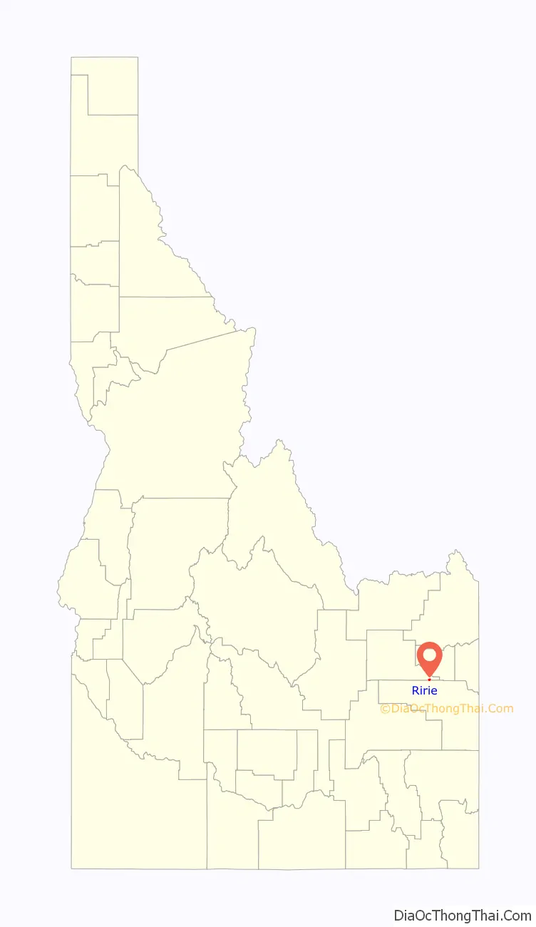
Ririe is a city in Bonneville and Jefferson counties in the eastern part of the U.S. state of Idaho. It is part of the Idaho Falls metropolitan area. The population was 656 at the time of the 2010 census.
| Name: | Ririe city |
|---|---|
| LSAD Code: | 25 |
| LSAD Description: | city (suffix) |
| State: | Idaho |
| County: | Bonneville County, Jefferson County |
| Elevation: | 4,964 ft (1,513 m) |
| Total Area: | 0.53 sq mi (1.38 km²) |
| Land Area: | 0.52 sq mi (1.34 km²) |
| Water Area: | 0.01 sq mi (0.04 km²) |
| Total Population: | 656 |
| Population Density: | 1,317.21/sq mi (508.22/km²) |
| ZIP code: | 83443 |
| Area code: | 208, 986 |
| FIPS code: | 1667960 |
| GNISfeature ID: | 0398047 |
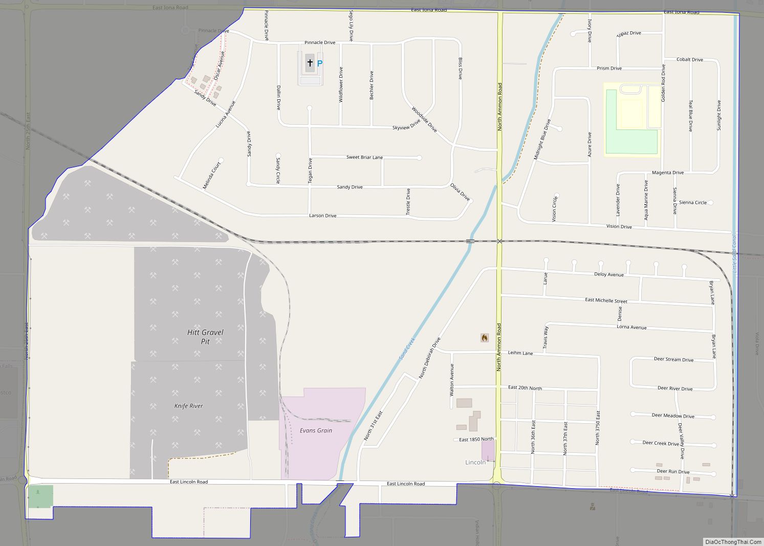
Online Interactive Map
Click on ![]() to view map in "full screen" mode.
to view map in "full screen" mode.
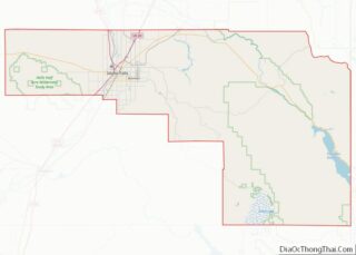
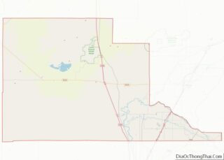
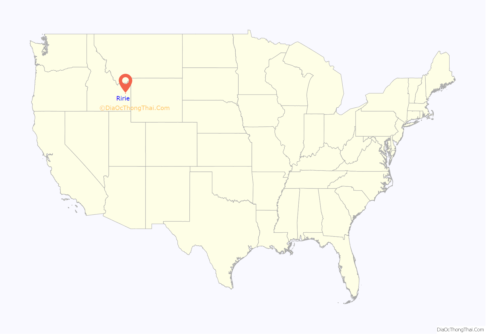
Ririe location map. Where is Ririe city?
History
The city of Ririe was named for one of its first homesteaders, David Ririe. A Utah resident, Ririe settled in the area in 1888 and began cultivating a small claim of land. In 1891, Joseph Hyrum Lovell and his family settled on an adjoining area and began farming. That winter, however, Joseph died of illness, leaving his family alone and isolated. David Ririe helped the widowed family to establish their farm, and eventually married one of the Lovell daughters, Leah Ann. The families flourished in the area, and David eventually built a large stone house, which stands today, to house his large family. As more residents settled in the area, the common need for schools and churches help foster a community. However, the city of Ririe was formally established in 1914. That year, the railroad was routed through the city and Ririe was given its name by railroad officials. The small community of Shelton was absorbed by Ririe, but several buildings and sites continue to bear the Shelton name, such as the Ririe-Shelton Cemetery.
A large fire in the summer of 1919 destroyed much of the southern half of the town, but since then, the elementary school/high school complex, an athletic field, and an LDS Stake Center have been built in the area. Since 2007, nearly a thousand acres (4 km) have been annexed into the town, ostensibly in anticipation of future development.
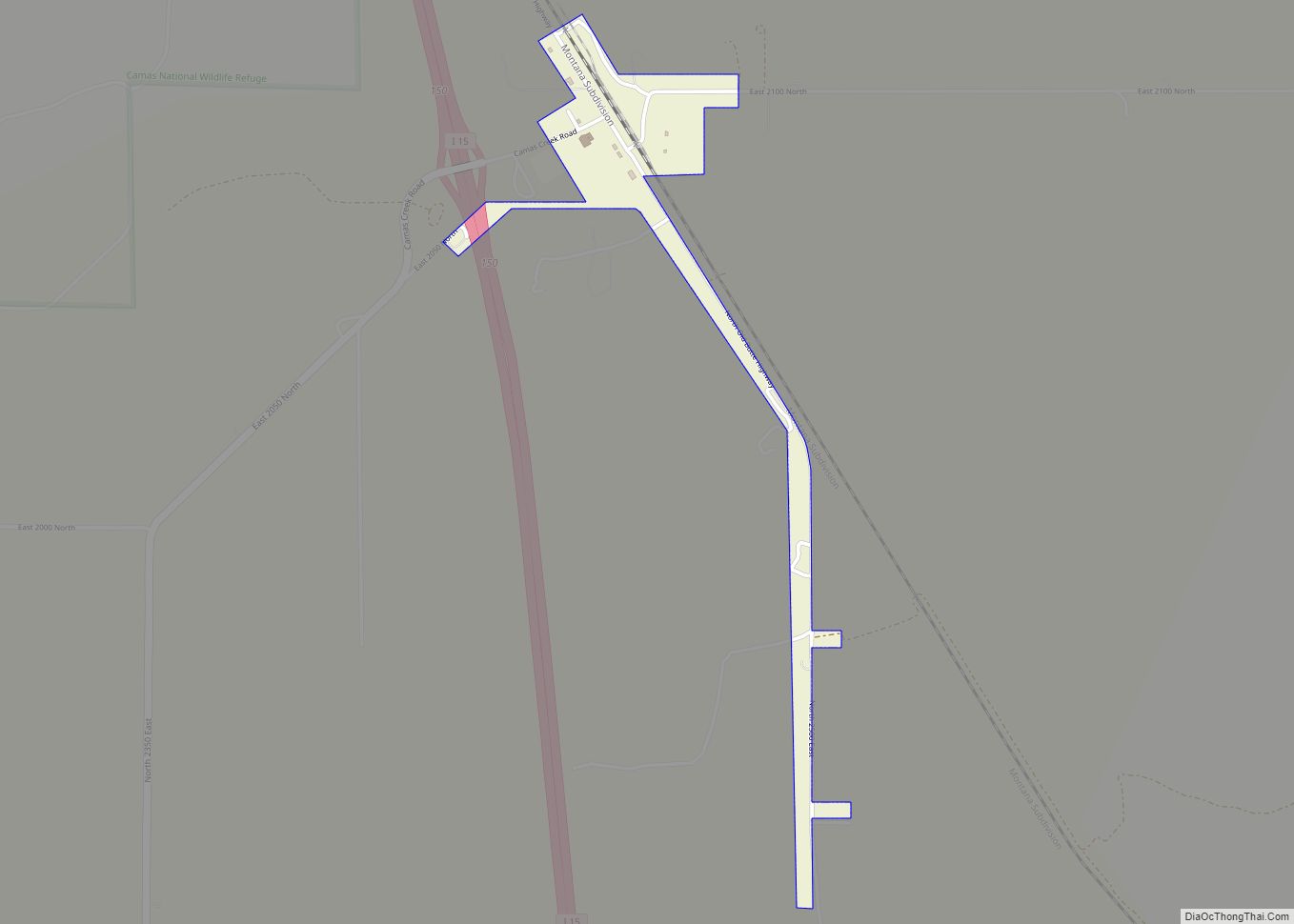
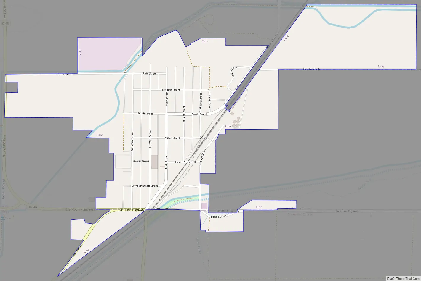
Ririe Road Map
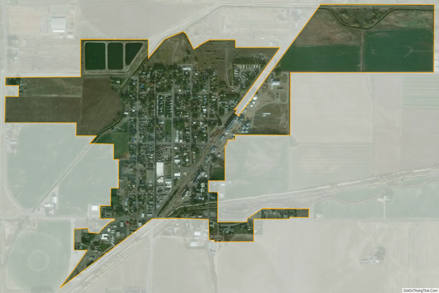
Ririe city Satellite Map
Geography
Ririe is located at 43°37′48″N 111°46′23″W / 43.63000°N 111.77306°W / 43.63000; -111.77306 (43.629998, -111.773012).
According to the United States Census Bureau, the city has a total area of 0.50 square miles (1.29 km), of which, 0.49 square miles (1.27 km) is land and 0.01 square miles (0.03 km) is water.
See also
Map of Idaho State and its subdivision:- Ada
- Adams
- Bannock
- Bear Lake
- Benewah
- Bingham
- Blaine
- Boise
- Bonner
- Bonneville
- Boundary
- Butte
- Camas
- Canyon
- Caribou
- Cassia
- Clark
- Clearwater
- Custer
- Elmore
- Franklin
- Fremont
- Gem
- Gooding
- Idaho
- Jefferson
- Jerome
- Kootenai
- Latah
- Lemhi
- Lewis
- Lincoln
- Madison
- Minidoka
- Nez Perce
- Oneida
- Owyhee
- Payette
- Power
- Shoshone
- Teton
- Twin Falls
- Valley
- Washington
- Alabama
- Alaska
- Arizona
- Arkansas
- California
- Colorado
- Connecticut
- Delaware
- District of Columbia
- Florida
- Georgia
- Hawaii
- Idaho
- Illinois
- Indiana
- Iowa
- Kansas
- Kentucky
- Louisiana
- Maine
- Maryland
- Massachusetts
- Michigan
- Minnesota
- Mississippi
- Missouri
- Montana
- Nebraska
- Nevada
- New Hampshire
- New Jersey
- New Mexico
- New York
- North Carolina
- North Dakota
- Ohio
- Oklahoma
- Oregon
- Pennsylvania
- Rhode Island
- South Carolina
- South Dakota
- Tennessee
- Texas
- Utah
- Vermont
- Virginia
- Washington
- West Virginia
- Wisconsin
- Wyoming