Salmon is a city in Lemhi County, Idaho. The population was 3,112 at the 2010 census. The city is the county seat of Lemhi County.
| Name: | Salmon city |
|---|---|
| LSAD Code: | 25 |
| LSAD Description: | city (suffix) |
| State: | Idaho |
| County: | Lemhi County |
| Elevation: | 3,944 ft (1,202 m) |
| Total Area: | 2.54 sq mi (6.59 km²) |
| Land Area: | 2.51 sq mi (6.49 km²) |
| Water Area: | 0.04 sq mi (0.10 km²) |
| Total Population: | 3,112 |
| Population Density: | 1,264.06/sq mi (488.01/km²) |
| ZIP code: | 83467 |
| Area code: | 208 |
| FIPS code: | 1671650 |
| GNISfeature ID: | 0398084 |
| Website: | www.cityofsalmon.com |
Online Interactive Map
Click on ![]() to view map in "full screen" mode.
to view map in "full screen" mode.
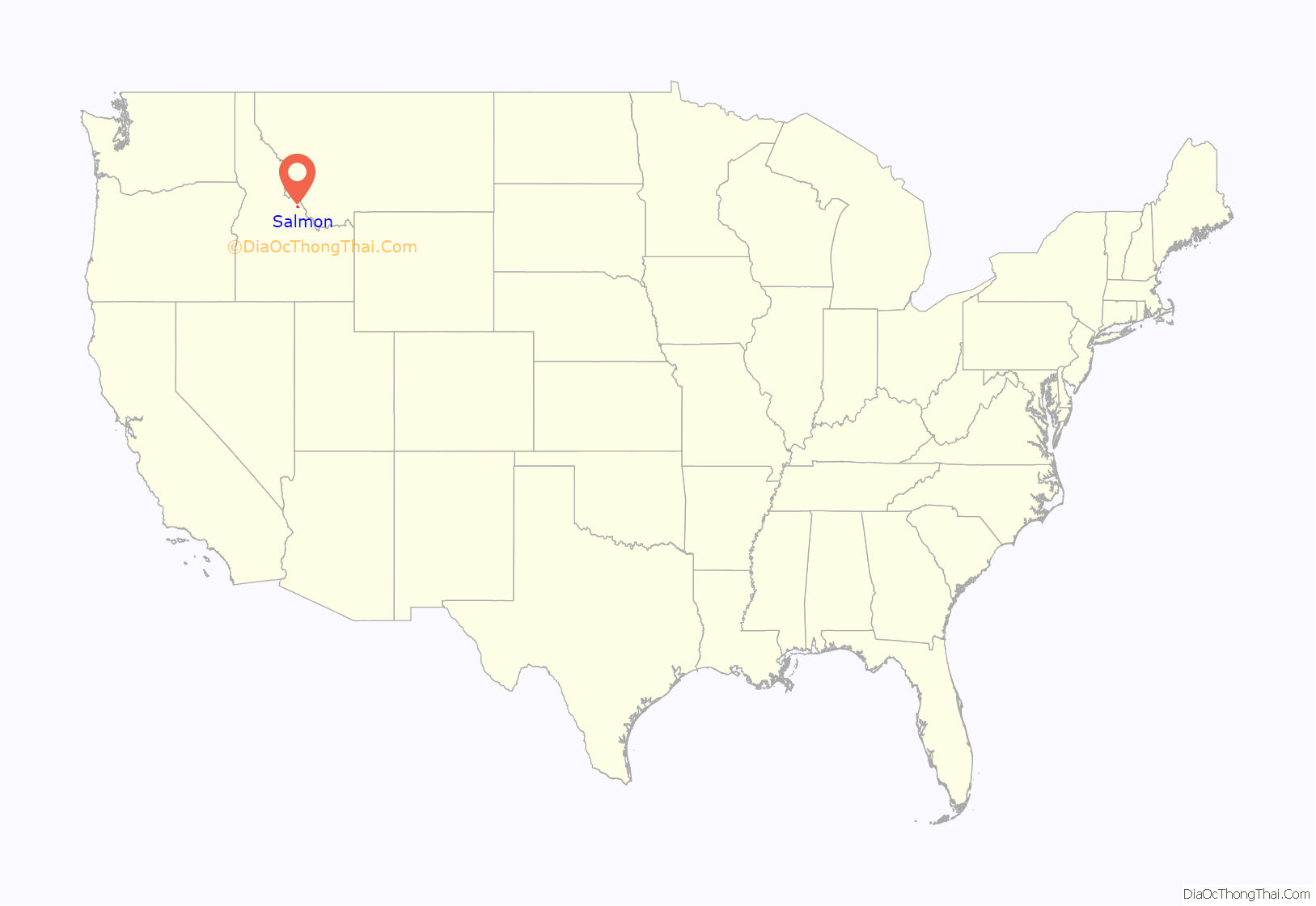
Salmon location map. Where is Salmon city?
History
The Lewis and Clark Expedition crossed the Continental Divide at Lemhi Pass, 30 miles (48 km) to the southeast of Salmon. They followed the Salmon River through the present site of the city, then ascended the north fork of the river, at the present-day town named after the confluence, to cross into present-day Montana near Lost Trail Pass. The sole female in the party, Sacagawea, was born in the Lemhi Valley near Salmon. The Sacajawea Interpretive, Cultural and Educational Center was opened in Salmon in August 2003.
From 1910 to 1939, Salmon was the western terminus of the now-defunct Gilmore and Pittsburgh Railroad.
The Owl Club in downtown Salmon, Idaho.
Intersection. Salmon, Idaho.
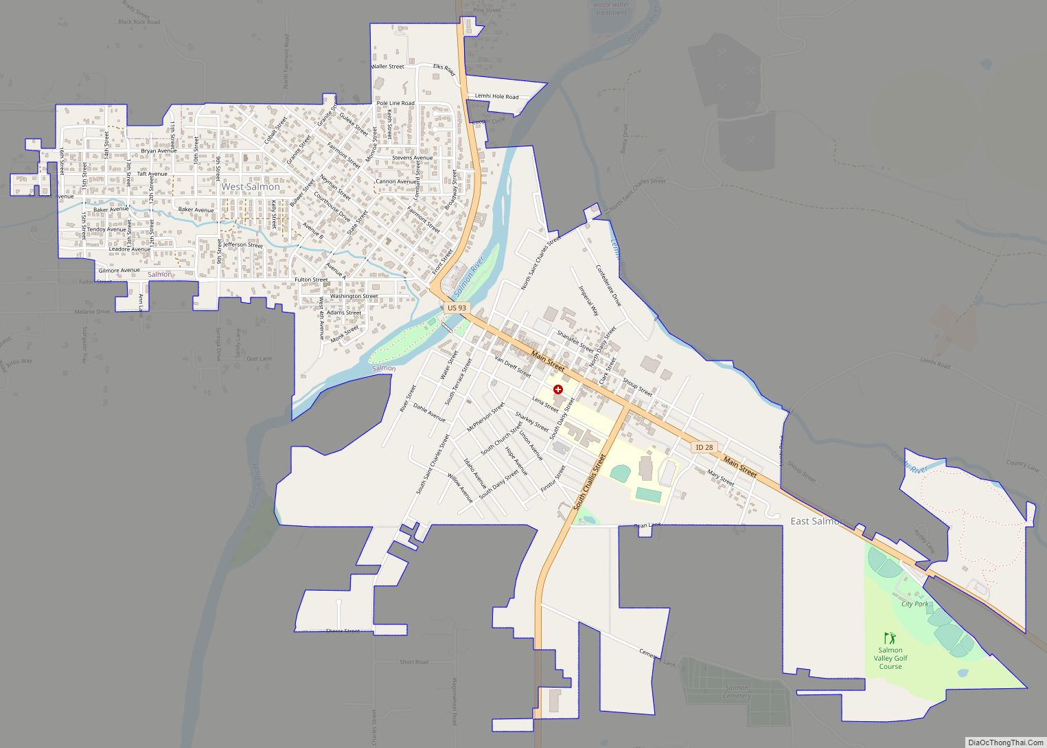
Salmon Road Map
Salmon city Satellite Map
Geography
Salmon is located at 45°10′41″N 113°54′10″W / 45.17806°N 113.90278°W / 45.17806; -113.90278 (45.178110, –113.902660). The elevation is 3,944 feet (1,202 m) above sea level.
According to the United States Census Bureau, the city has a total area of 2.37 square miles (6.14 km), of which, 2.33 square miles (6.03 km) is land and 0.04 square miles (0.10 km) is water.
The Salmon River passes through Salmon; whitewater rafters and other people interested in outdoor recreation have brought additional economic activity to Salmon. The Lemhi River flows into the Salmon River at Salmon.
Climate
Salmon experiences a semi-arid climate (Köppen BSk) with cold, dry winters and hot, slightly wetter summers.
See also
Map of Idaho State and its subdivision:- Ada
- Adams
- Bannock
- Bear Lake
- Benewah
- Bingham
- Blaine
- Boise
- Bonner
- Bonneville
- Boundary
- Butte
- Camas
- Canyon
- Caribou
- Cassia
- Clark
- Clearwater
- Custer
- Elmore
- Franklin
- Fremont
- Gem
- Gooding
- Idaho
- Jefferson
- Jerome
- Kootenai
- Latah
- Lemhi
- Lewis
- Lincoln
- Madison
- Minidoka
- Nez Perce
- Oneida
- Owyhee
- Payette
- Power
- Shoshone
- Teton
- Twin Falls
- Valley
- Washington
- Alabama
- Alaska
- Arizona
- Arkansas
- California
- Colorado
- Connecticut
- Delaware
- District of Columbia
- Florida
- Georgia
- Hawaii
- Idaho
- Illinois
- Indiana
- Iowa
- Kansas
- Kentucky
- Louisiana
- Maine
- Maryland
- Massachusetts
- Michigan
- Minnesota
- Mississippi
- Missouri
- Montana
- Nebraska
- Nevada
- New Hampshire
- New Jersey
- New Mexico
- New York
- North Carolina
- North Dakota
- Ohio
- Oklahoma
- Oregon
- Pennsylvania
- Rhode Island
- South Carolina
- South Dakota
- Tennessee
- Texas
- Utah
- Vermont
- Virginia
- Washington
- West Virginia
- Wisconsin
- Wyoming


