Smelterville is a city in Shoshone County, Idaho, United States. The population was 627 at the 2010 census.
The town was named in 1929 by a voice vote of its residents; the other choices were Van Rena and Silver City (already used in southwestern Idaho). The presence of the Bunker Hill smelter, which started operating in 1917, caused the name to be selected.
| Name: | Smelterville city |
|---|---|
| LSAD Code: | 25 |
| LSAD Description: | city (suffix) |
| State: | Idaho |
| County: | Shoshone County |
| Elevation: | 2,234 ft (681 m) |
| Total Area: | 0.31 sq mi (0.79 km²) |
| Land Area: | 0.31 sq mi (0.79 km²) |
| Water Area: | 0.00 sq mi (0.00 km²) |
| Total Population: | 627 |
| Population Density: | 2,029.41/sq mi (784.66/km²) |
| ZIP code: | 83868 |
| Area code: | 208, 986 |
| FIPS code: | 1675070 |
| GNISfeature ID: | 0398144 |
Online Interactive Map
Click on ![]() to view map in "full screen" mode.
to view map in "full screen" mode.
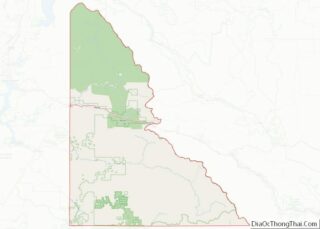
Smelterville location map. Where is Smelterville city?
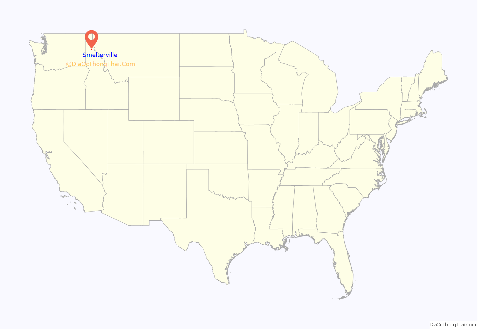
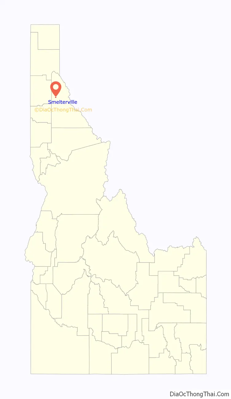
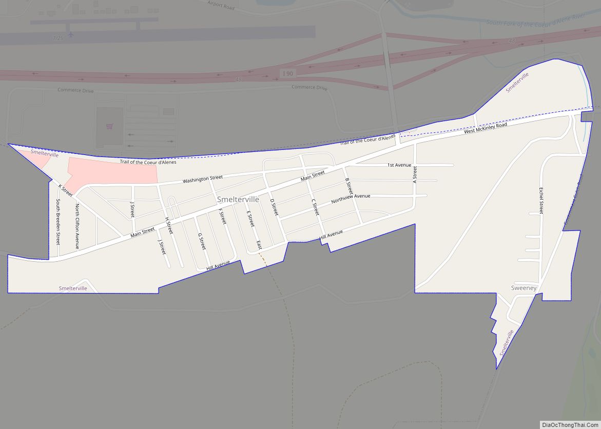
Smelterville Road Map

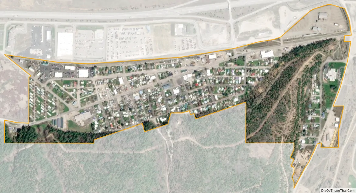
Smelterville city Satellite Map
Geography
Smelterville is located at 47°32′34″N 116°10′45″W / 47.54278°N 116.17917°W / 47.54278; -116.17917 (47.542690, -116.179281), at an elevation of 2,234 feet (681 m) above sea level.
According to the United States Census Bureau, the city has a total area of 0.31 square miles (0.80 km), all of it land.
See also
Map of Idaho State and its subdivision:- Ada
- Adams
- Bannock
- Bear Lake
- Benewah
- Bingham
- Blaine
- Boise
- Bonner
- Bonneville
- Boundary
- Butte
- Camas
- Canyon
- Caribou
- Cassia
- Clark
- Clearwater
- Custer
- Elmore
- Franklin
- Fremont
- Gem
- Gooding
- Idaho
- Jefferson
- Jerome
- Kootenai
- Latah
- Lemhi
- Lewis
- Lincoln
- Madison
- Minidoka
- Nez Perce
- Oneida
- Owyhee
- Payette
- Power
- Shoshone
- Teton
- Twin Falls
- Valley
- Washington
- Alabama
- Alaska
- Arizona
- Arkansas
- California
- Colorado
- Connecticut
- Delaware
- District of Columbia
- Florida
- Georgia
- Hawaii
- Idaho
- Illinois
- Indiana
- Iowa
- Kansas
- Kentucky
- Louisiana
- Maine
- Maryland
- Massachusetts
- Michigan
- Minnesota
- Mississippi
- Missouri
- Montana
- Nebraska
- Nevada
- New Hampshire
- New Jersey
- New Mexico
- New York
- North Carolina
- North Dakota
- Ohio
- Oklahoma
- Oregon
- Pennsylvania
- Rhode Island
- South Carolina
- South Dakota
- Tennessee
- Texas
- Utah
- Vermont
- Virginia
- Washington
- West Virginia
- Wisconsin
- Wyoming