St. Charles is a city in southern Bear Lake County, Idaho, United States, that is located near the northwestern shore of Bear Lake. Its population was 131 at the 2010 census, down from 156 in 2000.
| Name: | St. Charles city |
|---|---|
| LSAD Code: | 25 |
| LSAD Description: | city (suffix) |
| State: | Idaho |
| County: | Bear Lake County |
| Elevation: | 5,965 ft (1,818 m) |
| Total Area: | 0.73 sq mi (1.90 km²) |
| Land Area: | 0.73 sq mi (1.90 km²) |
| Water Area: | 0.00 sq mi (0.00 km²) |
| Total Population: | 131 |
| Population Density: | 208.73/sq mi (80.55/km²) |
| Area code: | 208, 986 |
| FIPS code: | 1671110 |
| GNISfeature ID: | 389824 |
| Website: | stcharlesidaho.org |
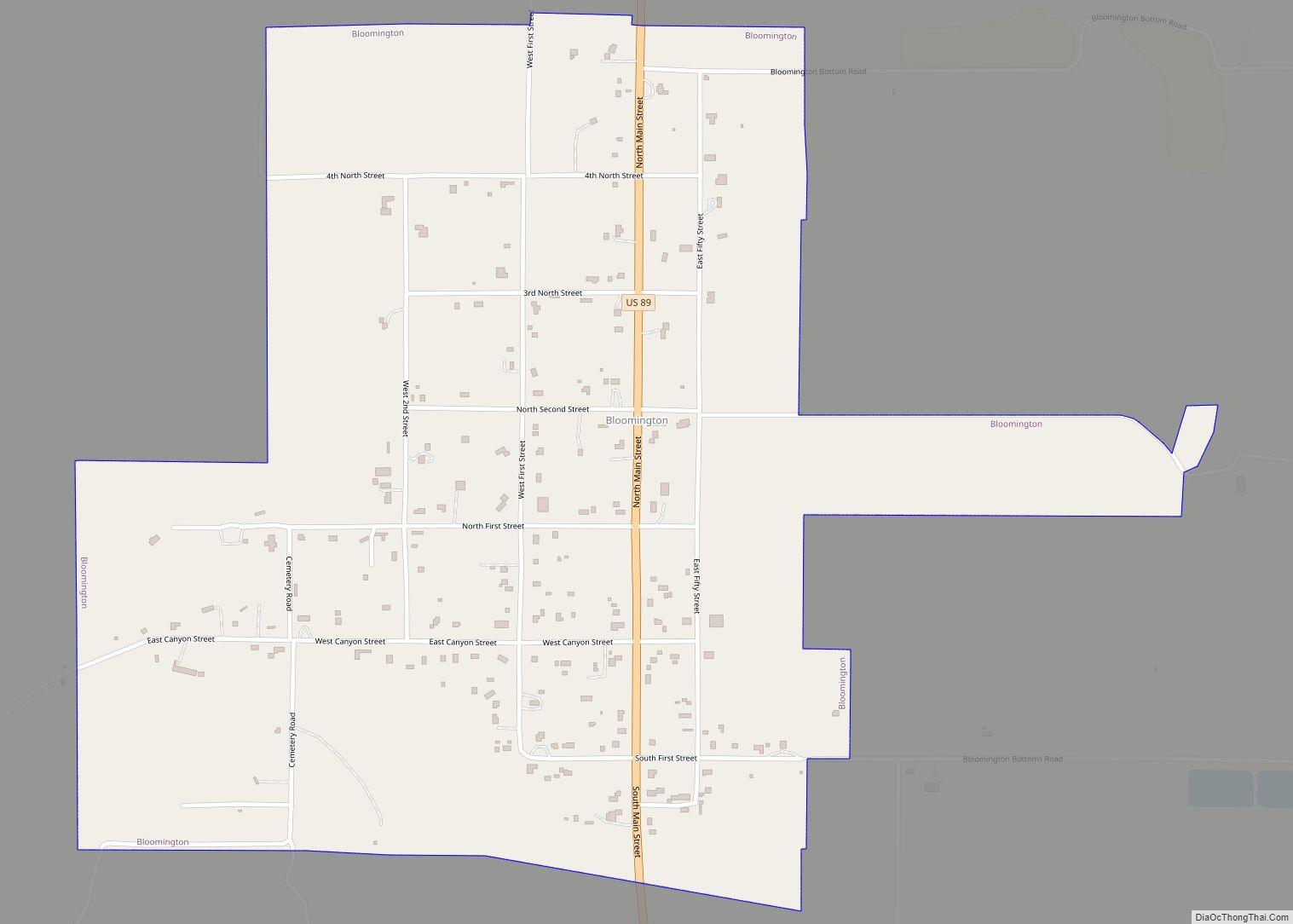
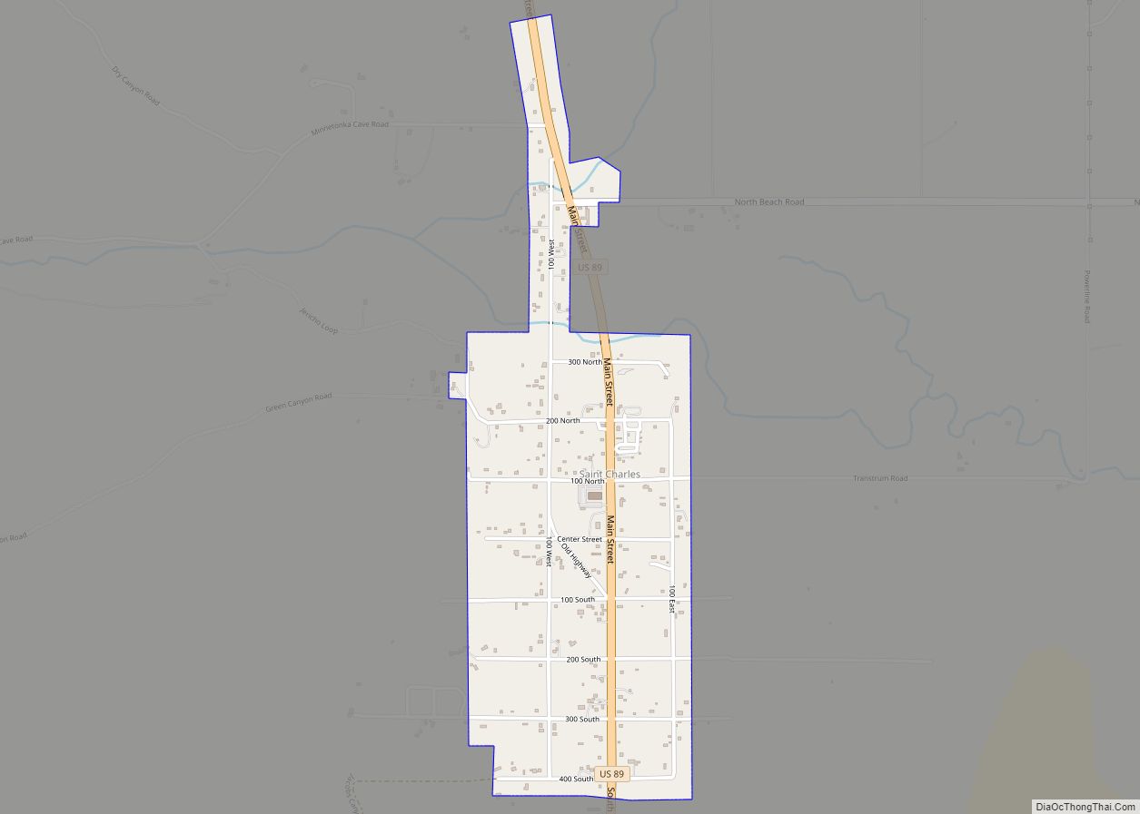
Online Interactive Map
Click on ![]() to view map in "full screen" mode.
to view map in "full screen" mode.
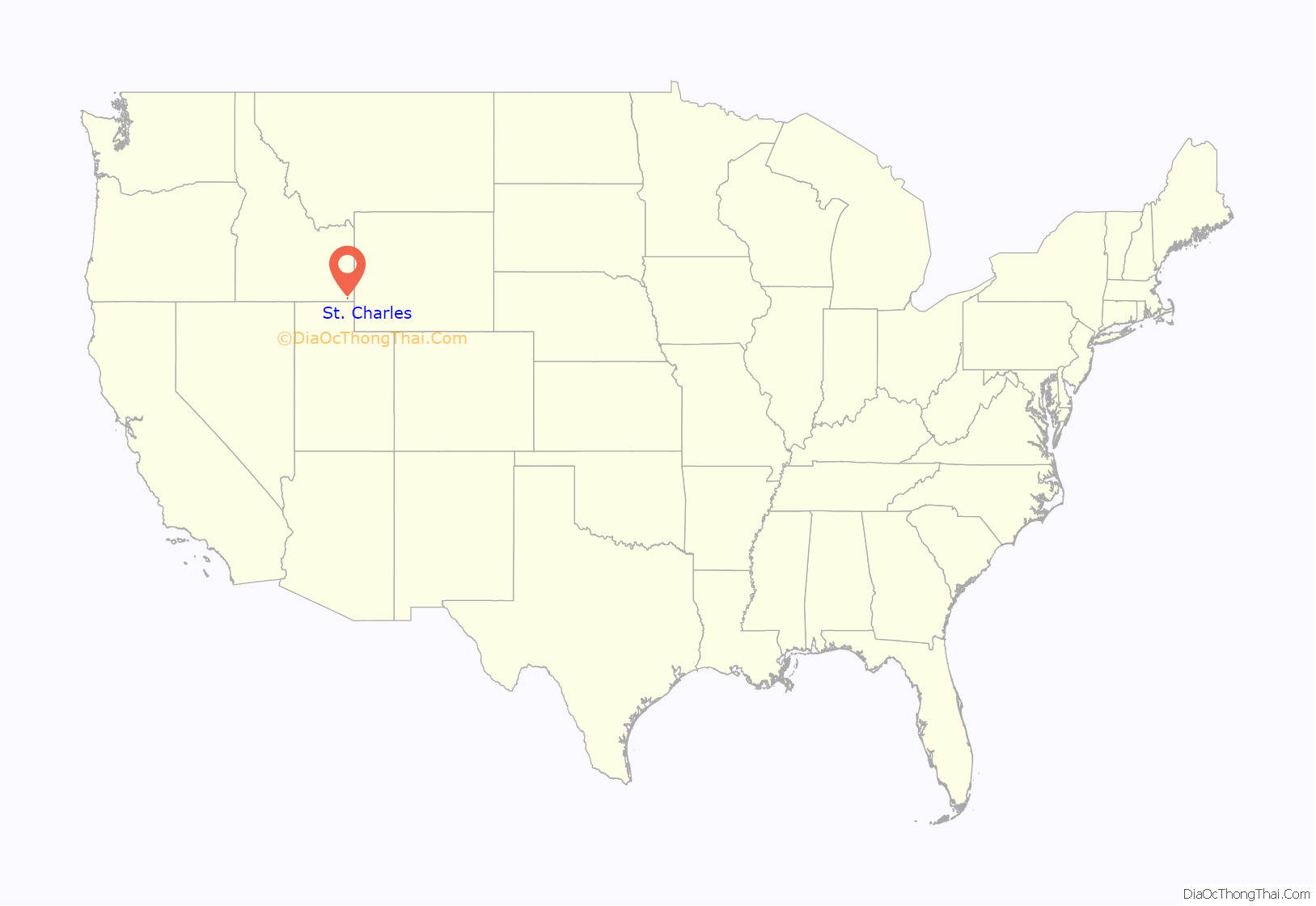
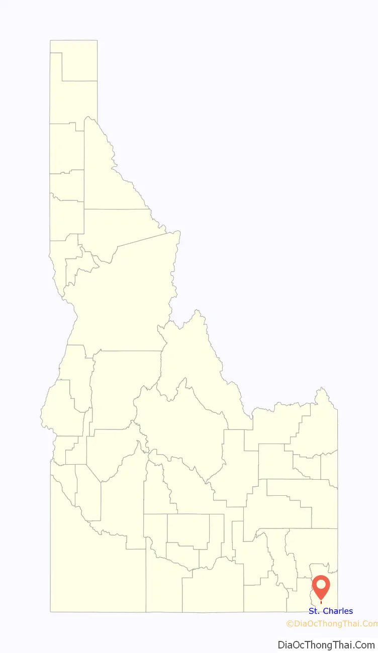
St. Charles location map. Where is St. Charles city?
History
St. Charles was settled in May 1864 by Mormon pioneers. As did most Mormon communities along the Idaho–Utah border, early settlers believed they were in the Territory of Utah. In 1864, the Utah territorial legislature created Richland County (shortened to Rich in 1868) for the Bear Lake Valley settlements, designating St. Charles as its county seat. The 1870 Decennial Census of the United States listed St. Charles and 10 other Idaho Bear Lake Valley settlements under Rich County, Utah.
But when the official survey of the Idaho–Utah line was completed on February 15, 1872, it placed St. Charles and the rest of the northern Bear Lake Valley settlements in Oneida County, Idaho Territory.
The area developed as an agricultural community, and the population was never substantial. In the 20th century it began to attract tourists and persons seeking a recreation area. Some second homes and retirement homes have been built here, but the population has declined.
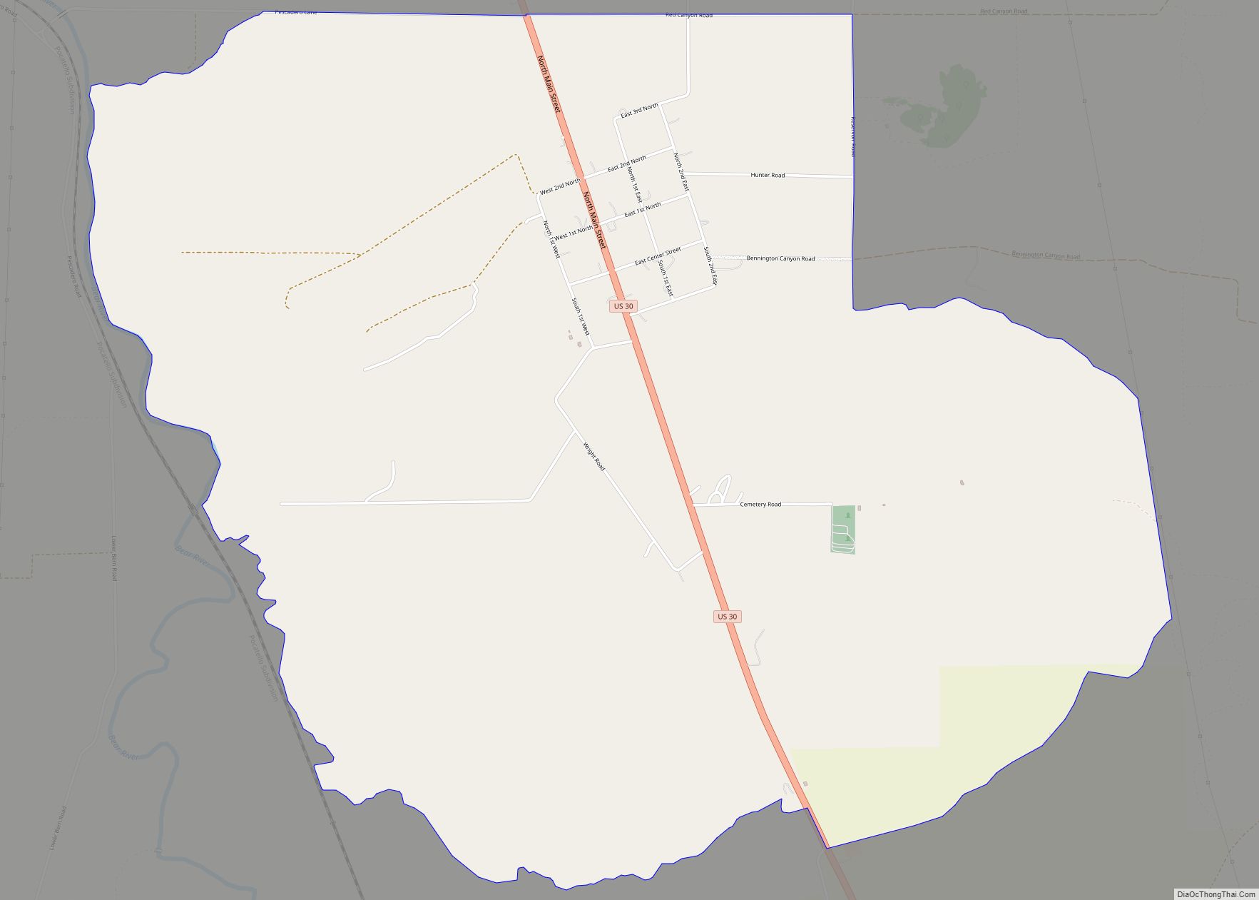
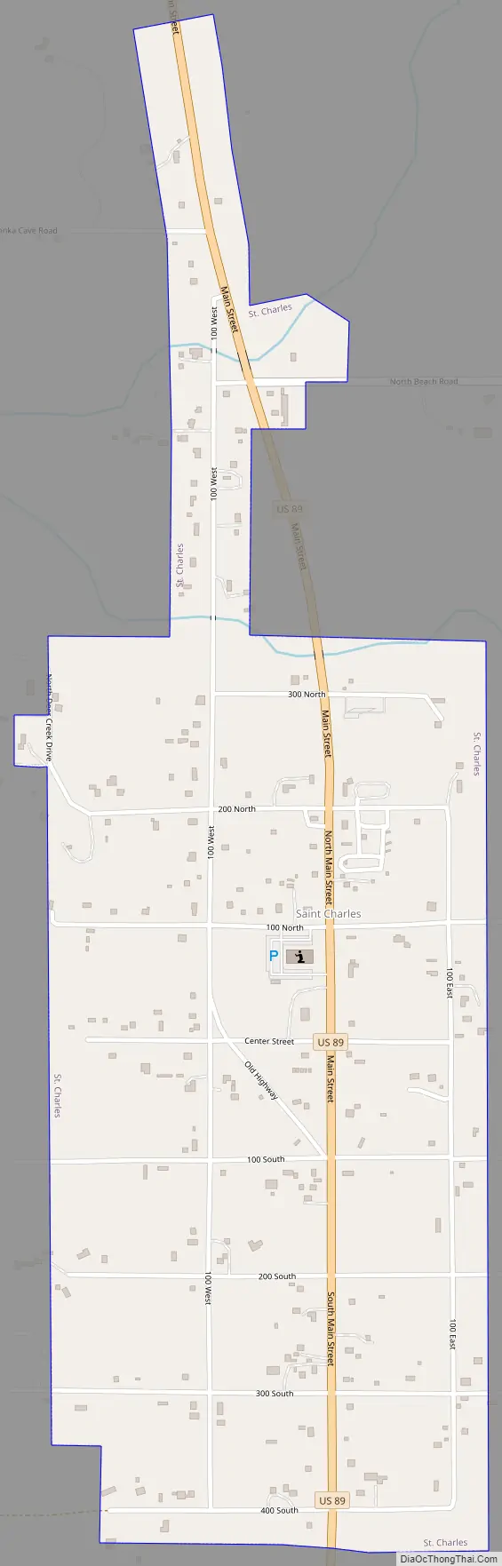
St. Charles Road Map
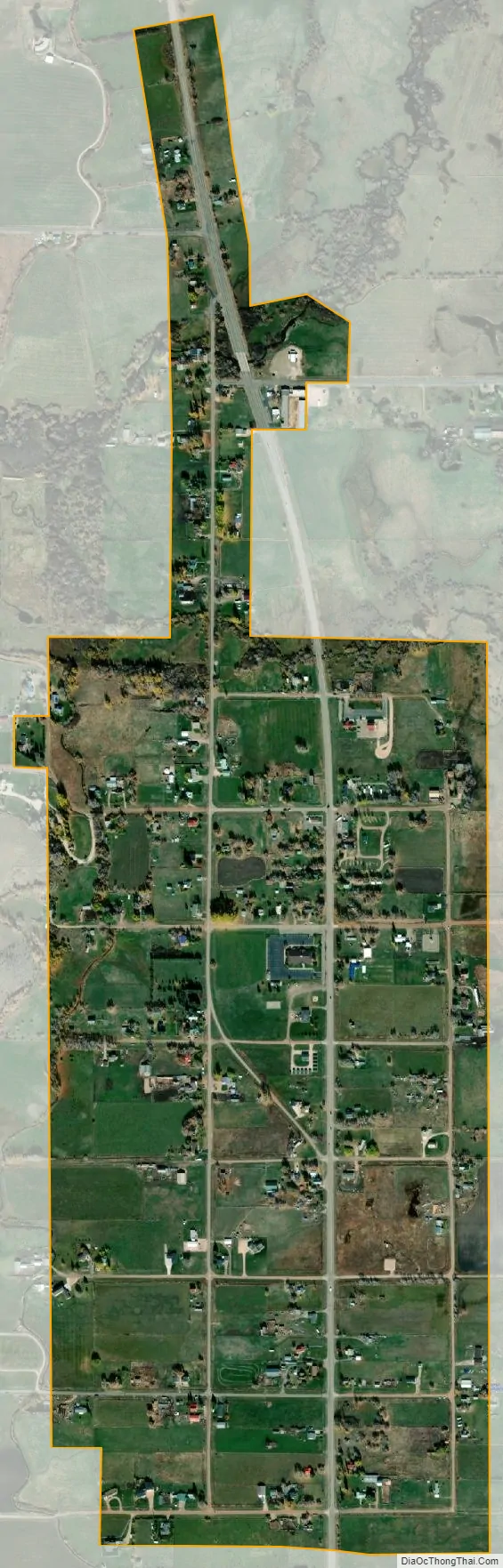
St. Charles city Satellite Map
Geography
St. Charles is located at 42°6′45″N 111°23′24″W / 42.11250°N 111.39000°W / 42.11250; -111.39000 (42.112493, -111.390001), at an elevation of 5,965 feet (1,818 m) above sea level.
According to the United States Census Bureau, the city has a total area of 0.63 square miles (1.63 km), all of it land.
See also
Map of Idaho State and its subdivision:- Ada
- Adams
- Bannock
- Bear Lake
- Benewah
- Bingham
- Blaine
- Boise
- Bonner
- Bonneville
- Boundary
- Butte
- Camas
- Canyon
- Caribou
- Cassia
- Clark
- Clearwater
- Custer
- Elmore
- Franklin
- Fremont
- Gem
- Gooding
- Idaho
- Jefferson
- Jerome
- Kootenai
- Latah
- Lemhi
- Lewis
- Lincoln
- Madison
- Minidoka
- Nez Perce
- Oneida
- Owyhee
- Payette
- Power
- Shoshone
- Teton
- Twin Falls
- Valley
- Washington
- Alabama
- Alaska
- Arizona
- Arkansas
- California
- Colorado
- Connecticut
- Delaware
- District of Columbia
- Florida
- Georgia
- Hawaii
- Idaho
- Illinois
- Indiana
- Iowa
- Kansas
- Kentucky
- Louisiana
- Maine
- Maryland
- Massachusetts
- Michigan
- Minnesota
- Mississippi
- Missouri
- Montana
- Nebraska
- Nevada
- New Hampshire
- New Jersey
- New Mexico
- New York
- North Carolina
- North Dakota
- Ohio
- Oklahoma
- Oregon
- Pennsylvania
- Rhode Island
- South Carolina
- South Dakota
- Tennessee
- Texas
- Utah
- Vermont
- Virginia
- Washington
- West Virginia
- Wisconsin
- Wyoming