Swan Valley is a city in Bonneville County, Idaho, United States. It is part of the Idaho Falls, Idaho Metropolitan Statistical Area. The population was 204 at the 2010 census.
| Name: | Swan Valley city |
|---|---|
| LSAD Code: | 25 |
| LSAD Description: | city (suffix) |
| State: | Idaho |
| County: | Bonneville County |
| Elevation: | 5,315 ft (1,620 m) |
| Total Area: | 11.66 sq mi (30.19 km²) |
| Land Area: | 11.48 sq mi (29.73 km²) |
| Water Area: | 0.17 sq mi (0.45 km²) |
| Total Population: | 204 |
| Population Density: | 21.34/sq mi (8.24/km²) |
| ZIP code: | 83449 |
| Area code: | 208, 986 |
| FIPS code: | 1679120 |
| GNISfeature ID: | 0397226 |
| Website: | www.cityofswanvalley.com |
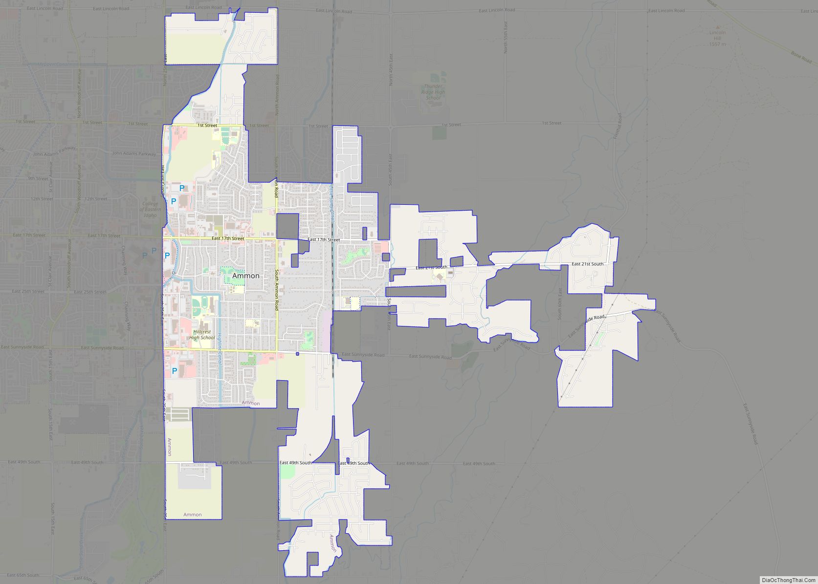
Online Interactive Map
Click on ![]() to view map in "full screen" mode.
to view map in "full screen" mode.
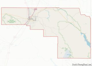
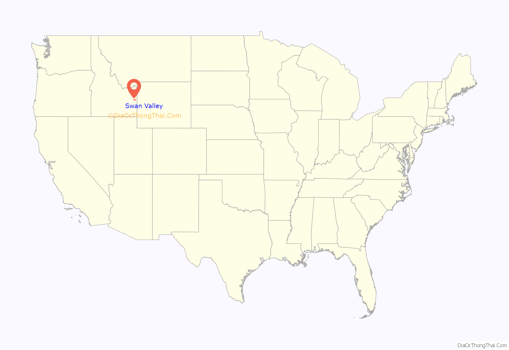
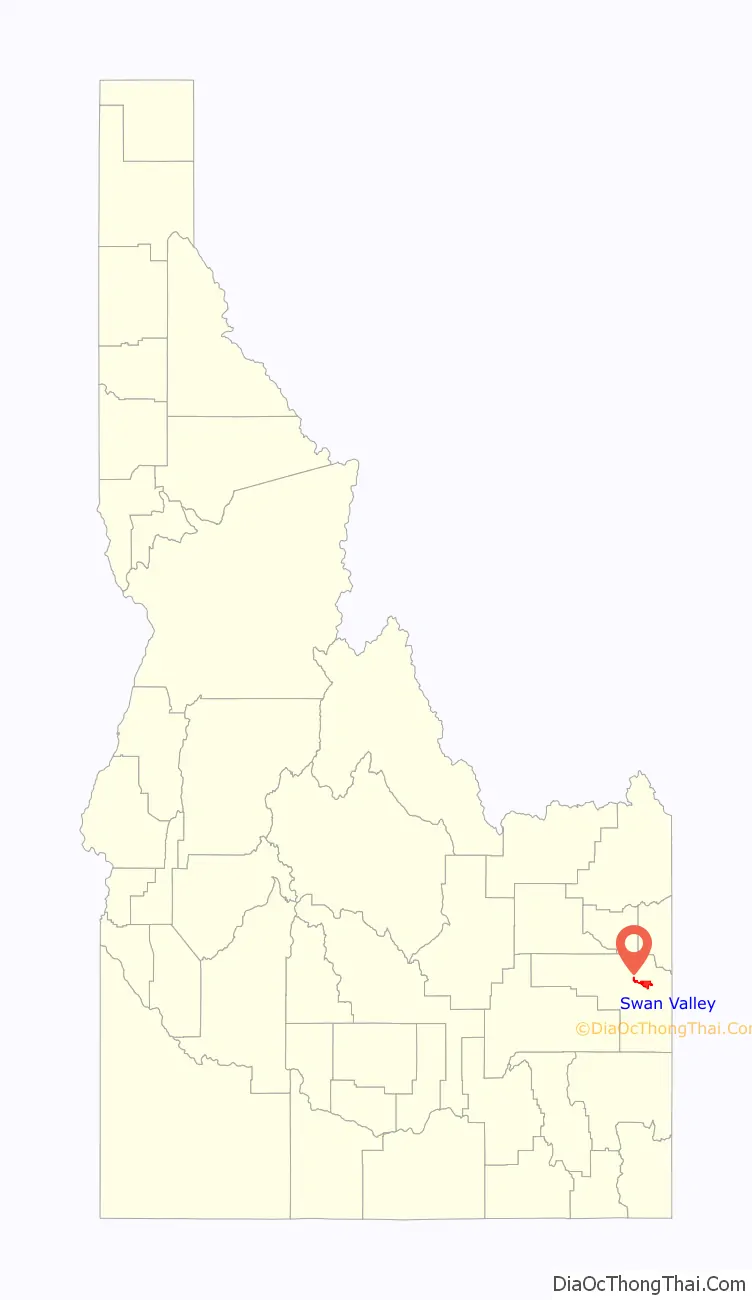
Swan Valley location map. Where is Swan Valley city?
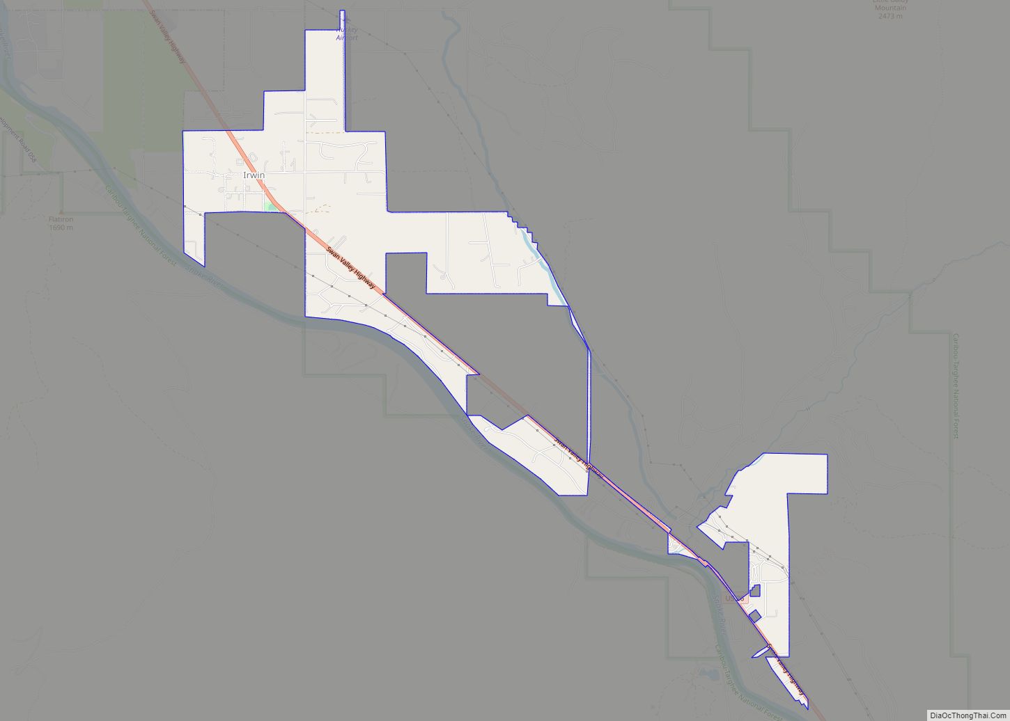
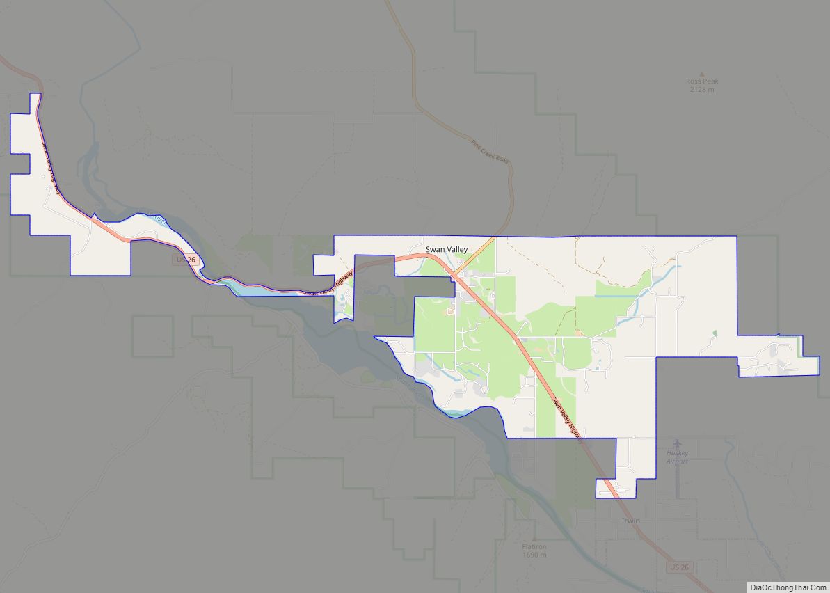
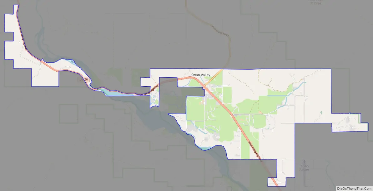
Swan Valley Road Map
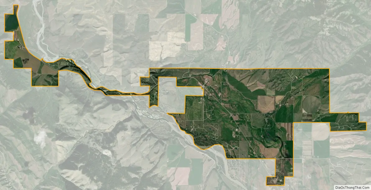
Swan Valley city Satellite Map
Geography
Swan Valley is located at 43°27′13″N 111°21′4″W / 43.45361°N 111.35111°W / 43.45361; -111.35111 (43.453741, -111.351090).
According to the United States Census Bureau, the city has a total area of 11.62 square miles (30.10 km), of which, 11.51 square miles (29.81 km) is land and 0.11 square miles (0.28 km) is water.
Climate
According to the Köppen Climate Classification system, Swan Valley has a warm-summer humid continental climate, abbreviated “Dfb” on climate maps. The hottest temperature recorded in Swan Valley, was 103 °F (39.4 °C) on September 4, 2022, while the coldest temperature recorded was −43 °F (−41.7 °C) on January 19, 1963, and December 22, 1990.
See also
Map of Idaho State and its subdivision:- Ada
- Adams
- Bannock
- Bear Lake
- Benewah
- Bingham
- Blaine
- Boise
- Bonner
- Bonneville
- Boundary
- Butte
- Camas
- Canyon
- Caribou
- Cassia
- Clark
- Clearwater
- Custer
- Elmore
- Franklin
- Fremont
- Gem
- Gooding
- Idaho
- Jefferson
- Jerome
- Kootenai
- Latah
- Lemhi
- Lewis
- Lincoln
- Madison
- Minidoka
- Nez Perce
- Oneida
- Owyhee
- Payette
- Power
- Shoshone
- Teton
- Twin Falls
- Valley
- Washington
- Alabama
- Alaska
- Arizona
- Arkansas
- California
- Colorado
- Connecticut
- Delaware
- District of Columbia
- Florida
- Georgia
- Hawaii
- Idaho
- Illinois
- Indiana
- Iowa
- Kansas
- Kentucky
- Louisiana
- Maine
- Maryland
- Massachusetts
- Michigan
- Minnesota
- Mississippi
- Missouri
- Montana
- Nebraska
- Nevada
- New Hampshire
- New Jersey
- New Mexico
- New York
- North Carolina
- North Dakota
- Ohio
- Oklahoma
- Oregon
- Pennsylvania
- Rhode Island
- South Carolina
- South Dakota
- Tennessee
- Texas
- Utah
- Vermont
- Virginia
- Washington
- West Virginia
- Wisconsin
- Wyoming