Worley is a city in southwestern Kootenai County, Idaho, United States. The population was 257 at the 2010 census, up from 223 in 2000. The city is within the Coeur d’Alene Indian Reservation.
| Name: | Worley city |
|---|---|
| LSAD Code: | 25 |
| LSAD Description: | city (suffix) |
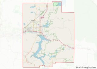
| State: | Idaho |
| County: | Kootenai County |
| Elevation: | 2,661 ft (811 m) |
| Total Area: | 0.19 sq mi (0.50 km²) |
| Land Area: | 0.19 sq mi (0.50 km²) |
| Water Area: | 0.00 sq mi (0.00 km²) |
| Total Population: | 257 |
| Population Density: | 1,350.52/sq mi (521.41/km²) |
| ZIP code: | 83876 |
| Area code: | 208 |
| FIPS code: | 1688480 |
| GNISfeature ID: | 0398386 |
Online Interactive Map
Click on ![]() to view map in "full screen" mode.
to view map in "full screen" mode.
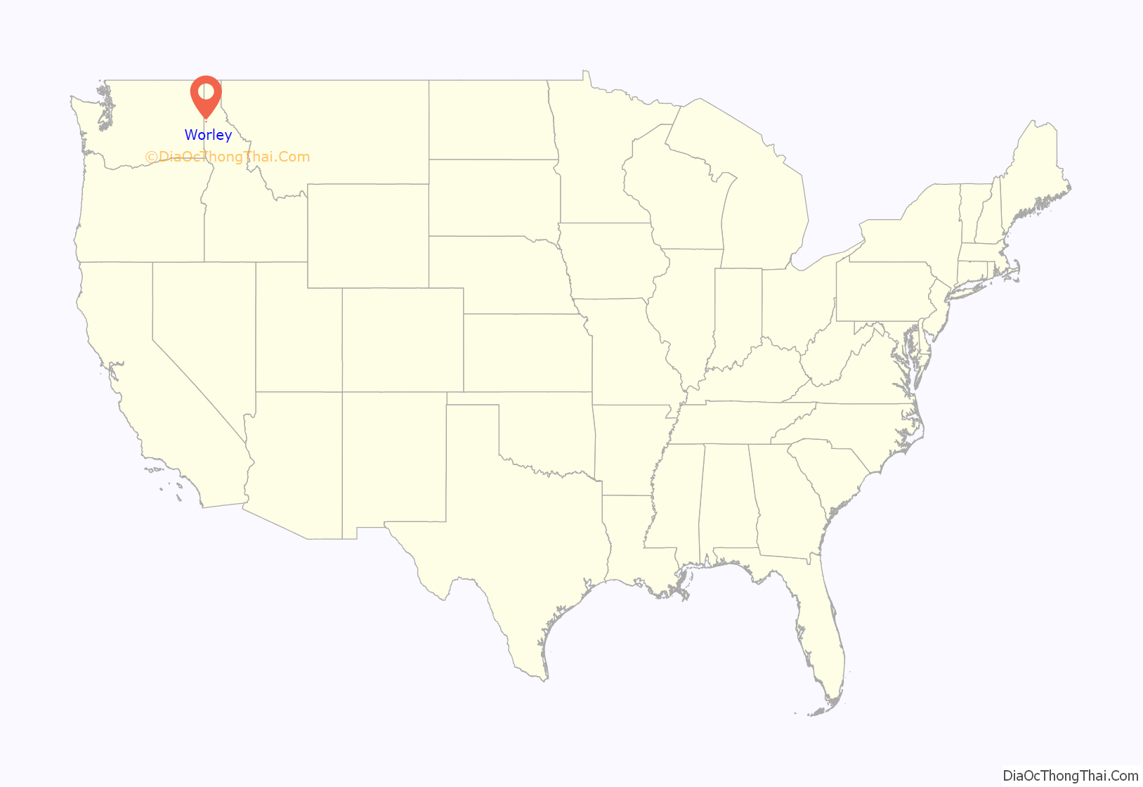
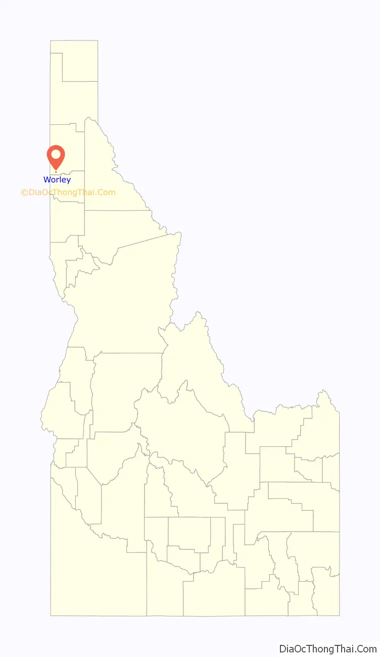
Worley location map. Where is Worley city?
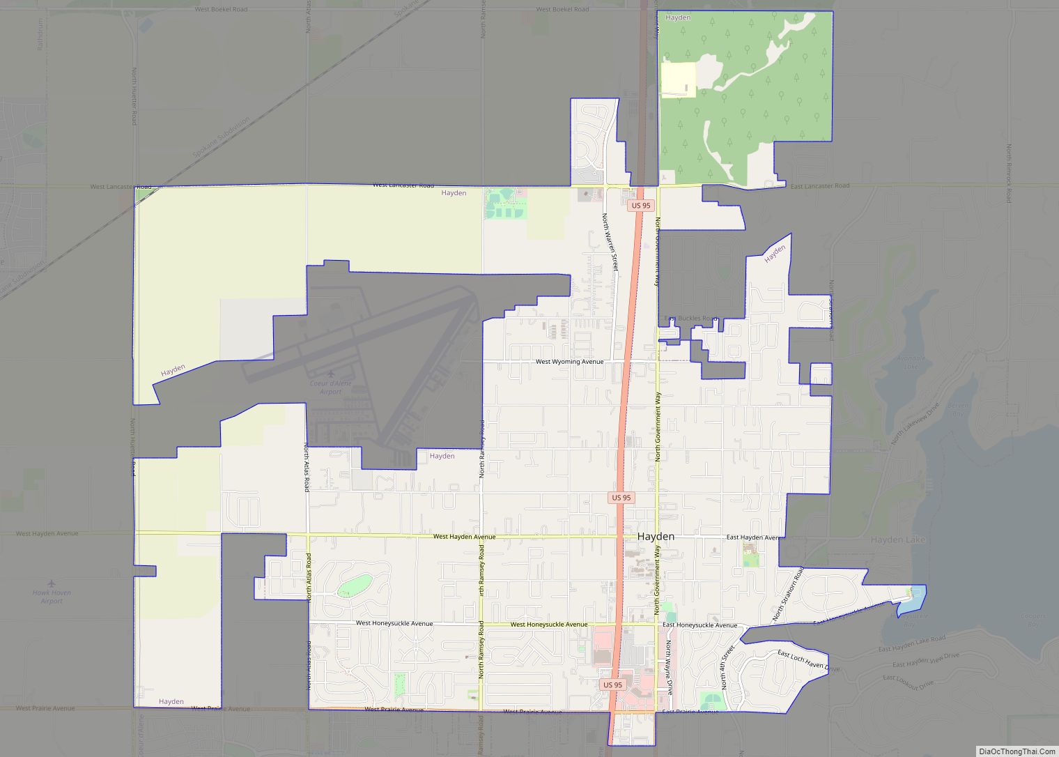
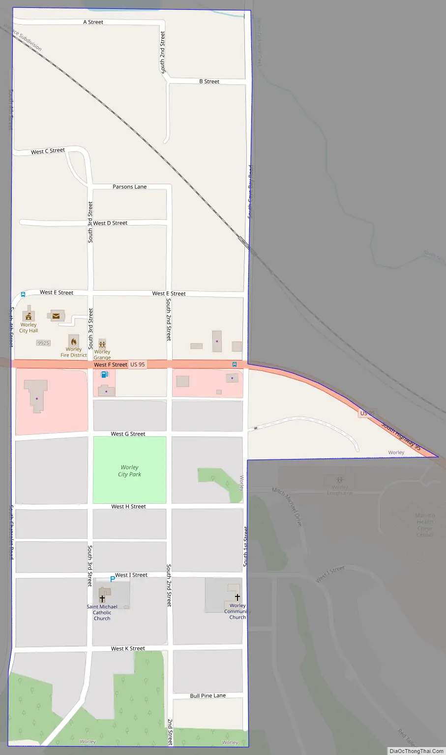
Worley Road Map
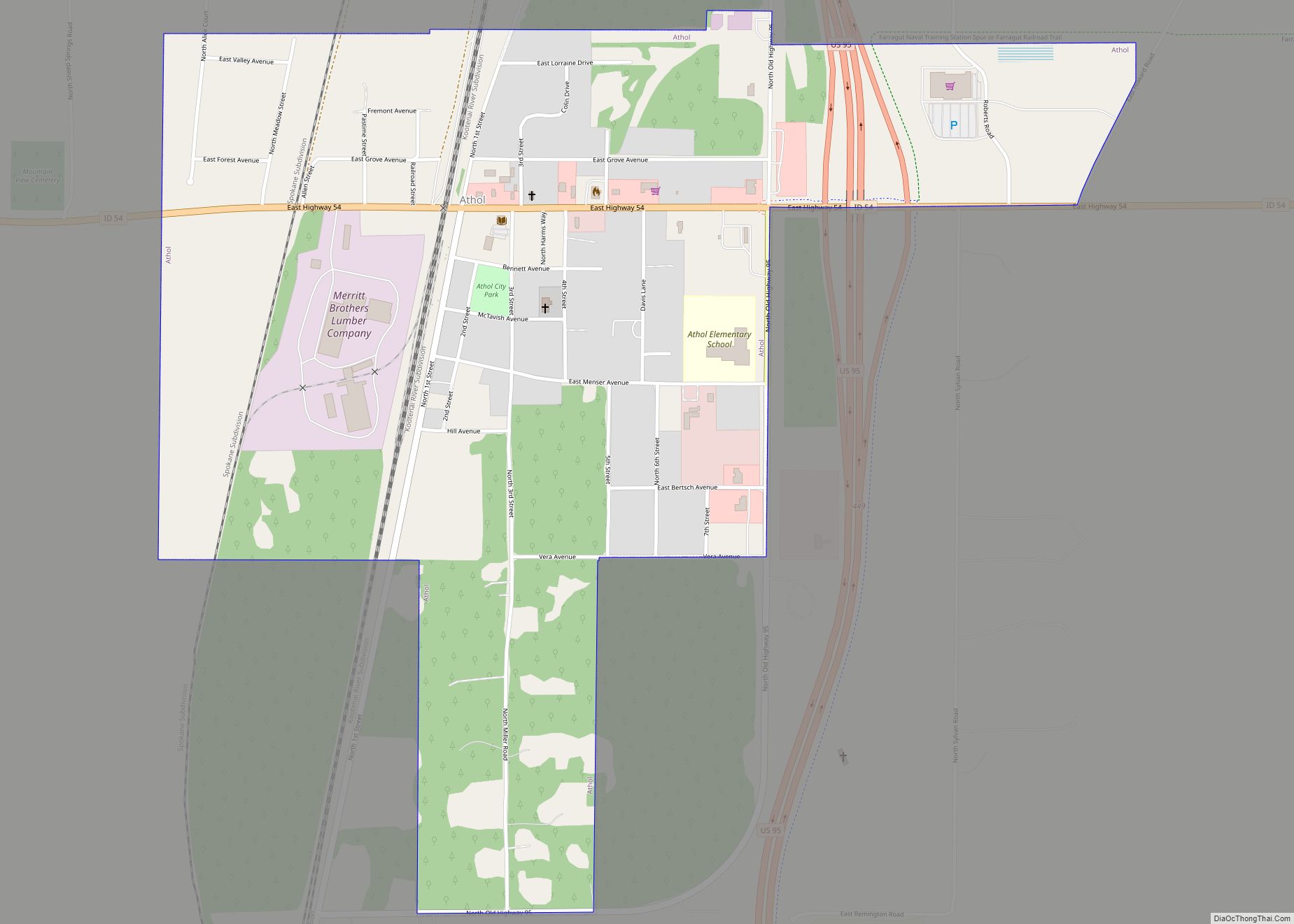
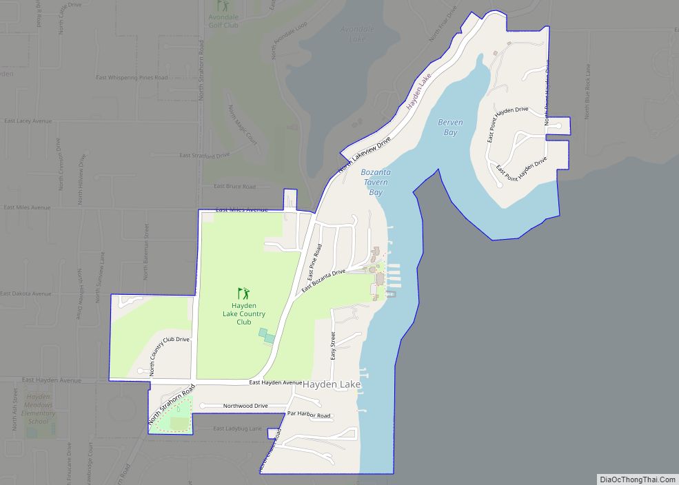
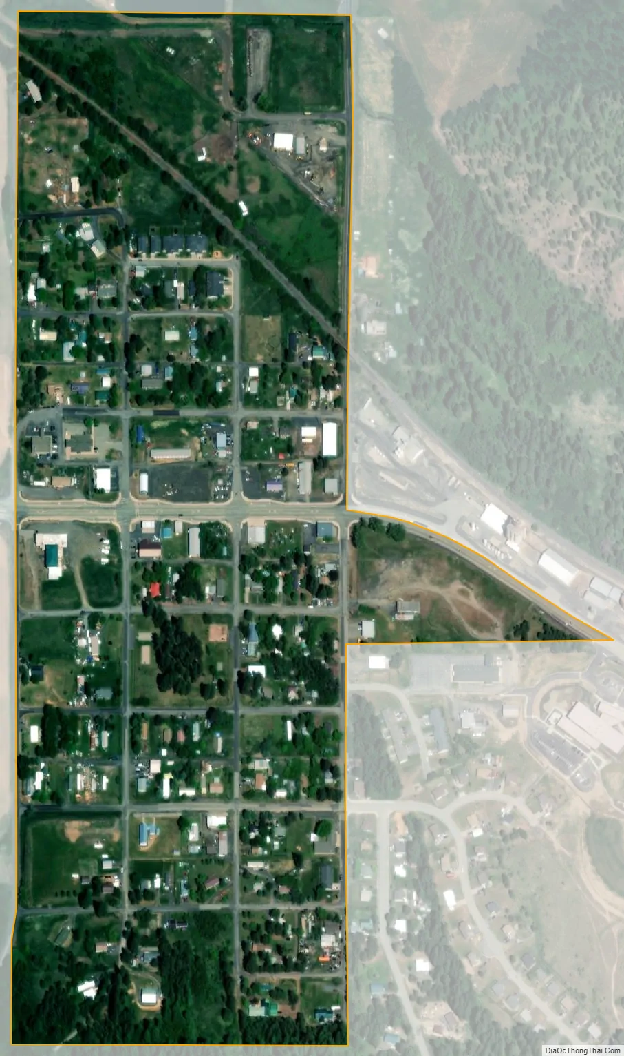
Worley city Satellite Map
Geography
Worley is located at 47°23′57″N 116°55′10″W / 47.39917°N 116.91944°W / 47.39917; -116.91944 (47.399124, -116.919410), at an elevation of 2,661 feet (811 m) above sea level.
According to the United States Census Bureau, the city has a total area of 0.19 square miles (0.49 km), all land.
To the south of the village are gentle hills heavily wooded with evergreens and a year around community of deer, elk, wild turkey and black bears. 17 acres of tribal community gardens are located off to the North of Worley.
See also
Map of Idaho State and its subdivision:- Ada
- Adams
- Bannock
- Bear Lake
- Benewah
- Bingham
- Blaine
- Boise
- Bonner
- Bonneville
- Boundary
- Butte
- Camas
- Canyon
- Caribou
- Cassia
- Clark
- Clearwater
- Custer
- Elmore
- Franklin
- Fremont
- Gem
- Gooding
- Idaho
- Jefferson
- Jerome
- Kootenai
- Latah
- Lemhi
- Lewis
- Lincoln
- Madison
- Minidoka
- Nez Perce
- Oneida
- Owyhee
- Payette
- Power
- Shoshone
- Teton
- Twin Falls
- Valley
- Washington
- Alabama
- Alaska
- Arizona
- Arkansas
- California
- Colorado
- Connecticut
- Delaware
- District of Columbia
- Florida
- Georgia
- Hawaii
- Idaho
- Illinois
- Indiana
- Iowa
- Kansas
- Kentucky
- Louisiana
- Maine
- Maryland
- Massachusetts
- Michigan
- Minnesota
- Mississippi
- Missouri
- Montana
- Nebraska
- Nevada
- New Hampshire
- New Jersey
- New Mexico
- New York
- North Carolina
- North Dakota
- Ohio
- Oklahoma
- Oregon
- Pennsylvania
- Rhode Island
- South Carolina
- South Dakota
- Tennessee
- Texas
- Utah
- Vermont
- Virginia
- Washington
- West Virginia
- Wisconsin
- Wyoming