Kenner is a city in Louisiana, United States. It is the largest city in Jefferson Parish, and is the largest incorporated suburban city of New Orleans. The population was 66,448 at the 2020 census.
| Name: | Kenner city |
|---|---|
| LSAD Code: | 25 |
| LSAD Description: | city (suffix) |
| State: | Louisiana |
| County: | Jefferson Parish |
| Founded: | March 2, 1855 |
| Incorporated: | 1867 |
| Elevation: | 3 ft (0.9 m) |
| Total Area: | 15.11 sq mi (39.14 km²) |
| Land Area: | 14.89 sq mi (38.56 km²) |
| Water Area: | 0.22 sq mi (0.58 km²) 00.7% |
| Population Density: | 4,462.89/sq mi (1,723.12/km²) |
| Area code: | 504 |
| FIPS code: | 2239475 |
| Website: | kenner.la.us |
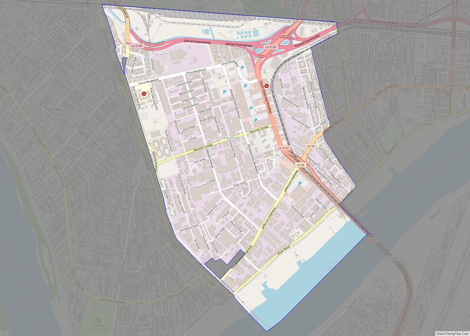
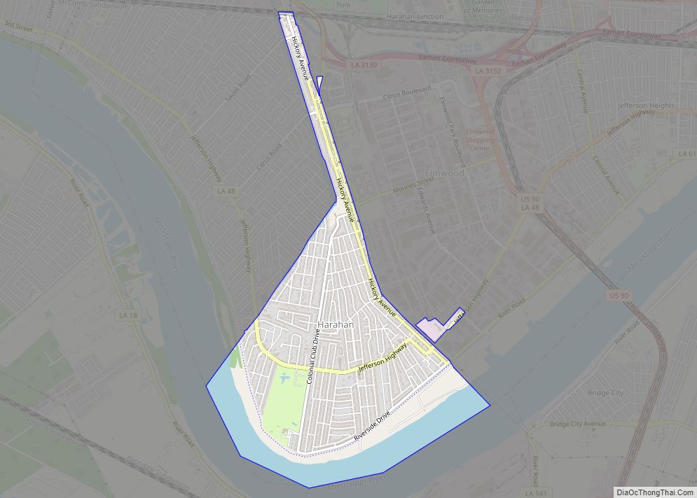
Online Interactive Map
Click on ![]() to view map in "full screen" mode.
to view map in "full screen" mode.
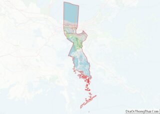
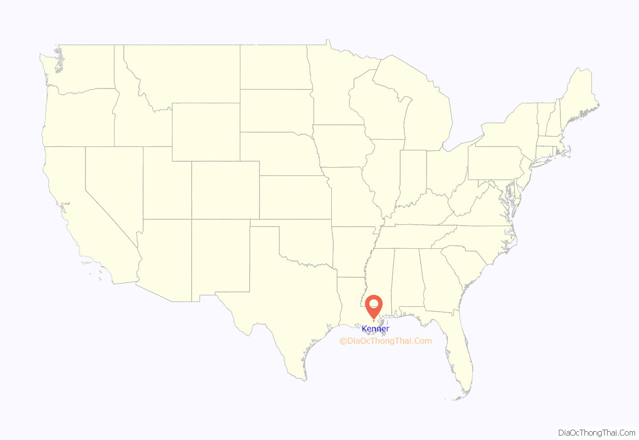
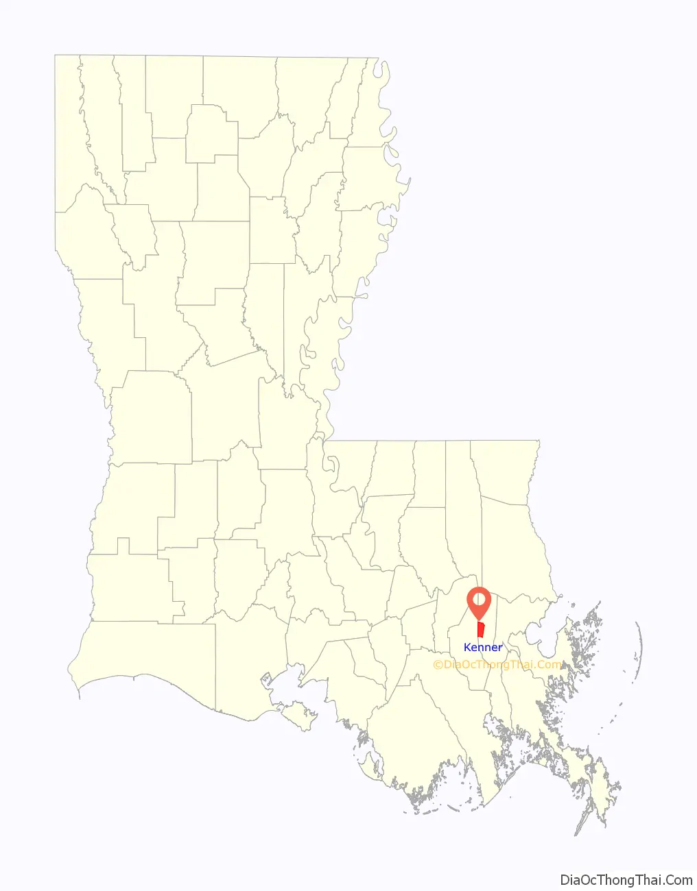
Kenner location map. Where is Kenner city?
History
In 1855, Kenner was founded by Minor Kenner on land that consisted of three plantation properties that had been purchased by the Kenner family. At the time, all land north of what is now Airline Highway was swampland.
In Kenner on May 10, 1870, “Gypsy” Jem Mace defeated Tom Allen for the heavyweight championship of the bare-knuckle boxing era; a monument marks the spot near the river end of Williams Boulevard.
From 1915 to 1931, a New Orleans streetcar line operated between New Orleans and Kenner. The line ran between the intersection of Rampart and Canal in New Orleans and the intersection of Williams Blvd and Jefferson Hwy in Kenner.
Kenner’s growth began in the late 1950s when developers began subdividing, draining and filling the swampland in the northern half of the city. During the 1960s, the construction of Interstate 10 and improvements to Veterans Memorial Highway aided the rapid development of Kenner as a suburb of New Orleans.
In 1982, Pan Am Flight 759 crashed in a residential area of Kenner when a microburst forced it down. Eight people on the ground were killed, as were all 145 people aboard the aircraft. Six houses were completely destroyed and five more substantially damaged.
In October 2017, an explosion on the surface of an oil rig platform in Lake Pontchartrain north west of the Treasure Chest Casino injured 7 people.
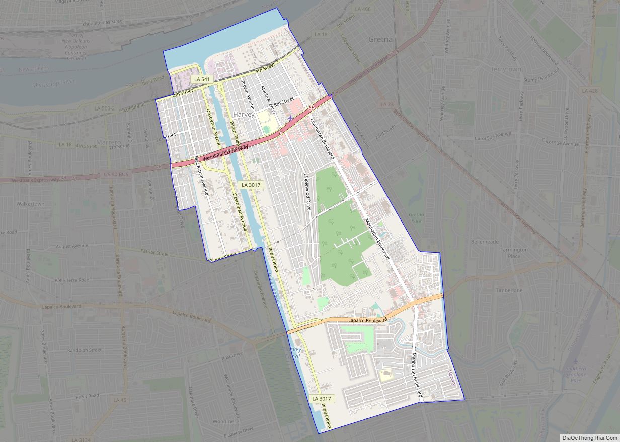
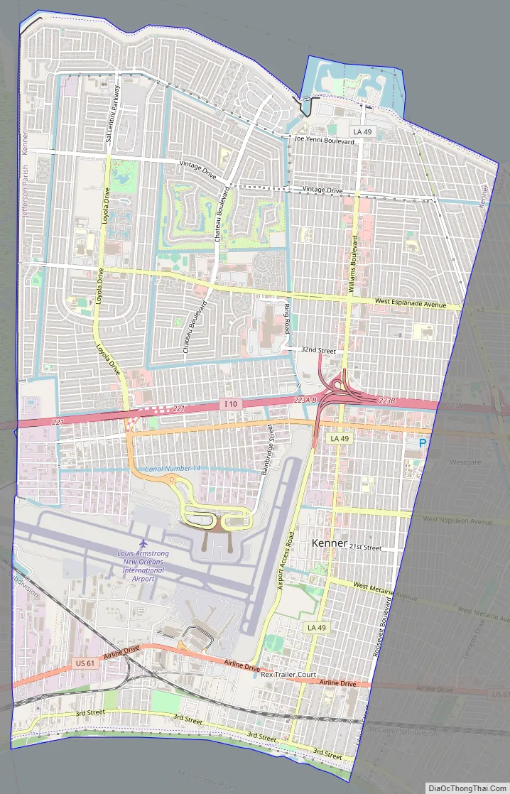
Kenner Road Map
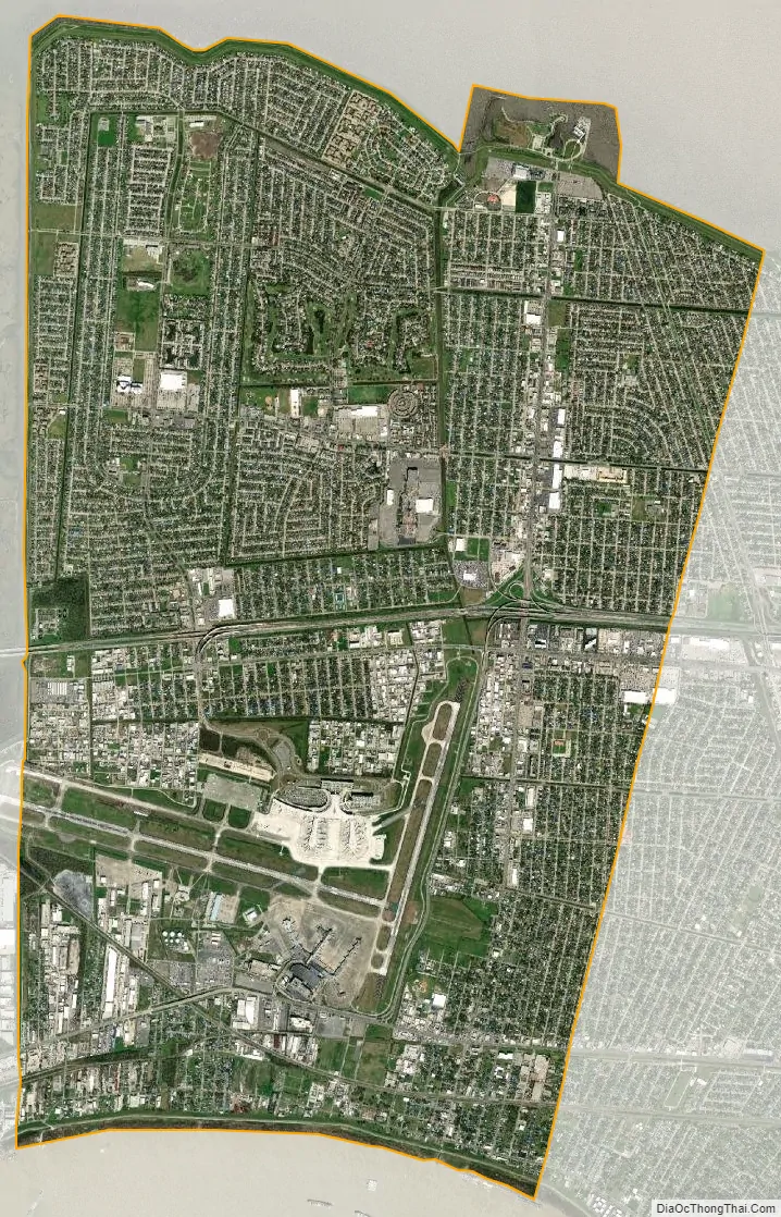
Kenner city Satellite Map
Geography
According to the United States Census Bureau, the city has a total area of 15.2 square miles (39 km), of which 15.1 square miles (39 km) is land and 0.1 square miles (0.26 km) (0.7%) is water.
The city of Kenner is located on the west side of Greater New Orleans, in Jefferson Parish. Its boundaries are Lake Pontchartrain to the north, the Mississippi River to the south, the unincorporated areas of Metairie and River Ridge to the east, and St. Charles Parish to the west.
See also
Map of Louisiana State and its subdivision:- Acadia
- Allen
- Ascension
- Assumption
- Avoyelles
- Beauregard
- Bienville
- Bossier
- Caddo
- Calcasieu
- Caldwell
- Cameron
- Catahoula
- Claiborne
- Concordia
- De Soto
- East Baton Rouge
- East Carroll
- East Feliciana
- Evangeline
- Franklin
- Grant
- Iberia
- Iberville
- Jackson
- Jefferson
- Jefferson Davis
- La Salle
- Lafayette
- Lafourche
- Lincoln
- Livingston
- Madison
- Morehouse
- Natchitoches
- Orleans
- Ouachita
- Plaquemines
- Pointe Coupee
- Rapides
- Red River
- Richland
- Sabine
- Saint Bernard
- Saint Charles
- Saint Helena
- Saint James
- Saint John the Baptist
- Saint Landry
- Saint Martin
- Saint Mary
- Saint Tammany
- Tangipahoa
- Tensas
- Terrebonne
- Union
- Vermilion
- Vernon
- Washington
- Webster
- West Baton Rouge
- West Carroll
- West Feliciana
- Winn
- Alabama
- Alaska
- Arizona
- Arkansas
- California
- Colorado
- Connecticut
- Delaware
- District of Columbia
- Florida
- Georgia
- Hawaii
- Idaho
- Illinois
- Indiana
- Iowa
- Kansas
- Kentucky
- Louisiana
- Maine
- Maryland
- Massachusetts
- Michigan
- Minnesota
- Mississippi
- Missouri
- Montana
- Nebraska
- Nevada
- New Hampshire
- New Jersey
- New Mexico
- New York
- North Carolina
- North Dakota
- Ohio
- Oklahoma
- Oregon
- Pennsylvania
- Rhode Island
- South Carolina
- South Dakota
- Tennessee
- Texas
- Utah
- Vermont
- Virginia
- Washington
- West Virginia
- Wisconsin
- Wyoming