Pasadena is a census-designated place (CDP) in Anne Arundel County, Maryland, United States. The population was 24,287 at the 2010 census.
The areas of Lake Shore, Riviera Beach and Pasadena are collectively referred to as Pasadena by residents. As all areas are governed by Anne Arundel County, there is no distinction in services such as fire, police, or public schools. All three areas are encompassed by the 21122 zip code. The collective area population was at 56,441 at the 2010 census.
| Name: | Pasadena CDP |
|---|---|
| LSAD Code: | 57 |
| LSAD Description: | CDP (suffix) |
| State: | Maryland |
| County: | Anne Arundel County |
| Elevation: | 79 ft (24 m) |
| Total Area: | 16.11 sq mi (41.73 km²) |
| Land Area: | 14.93 sq mi (38.66 km²) |
| Water Area: | 1.18 sq mi (3.07 km²) 7.31% |
| Total Population: | 32,979 |
| Population Density: | 2,209.35/sq mi (853.04/km²) |
| Area code: | 410, 443, 667 |
| FIPS code: | 2460475 |
| GNISfeature ID: | 0590983 |
Online Interactive Map
Click on ![]() to view map in "full screen" mode.
to view map in "full screen" mode.
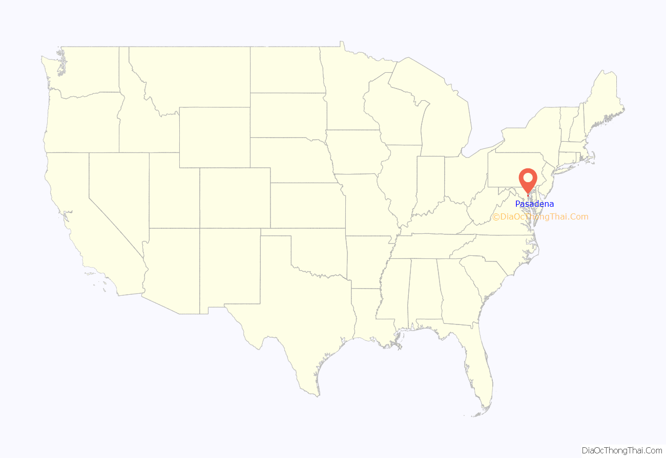
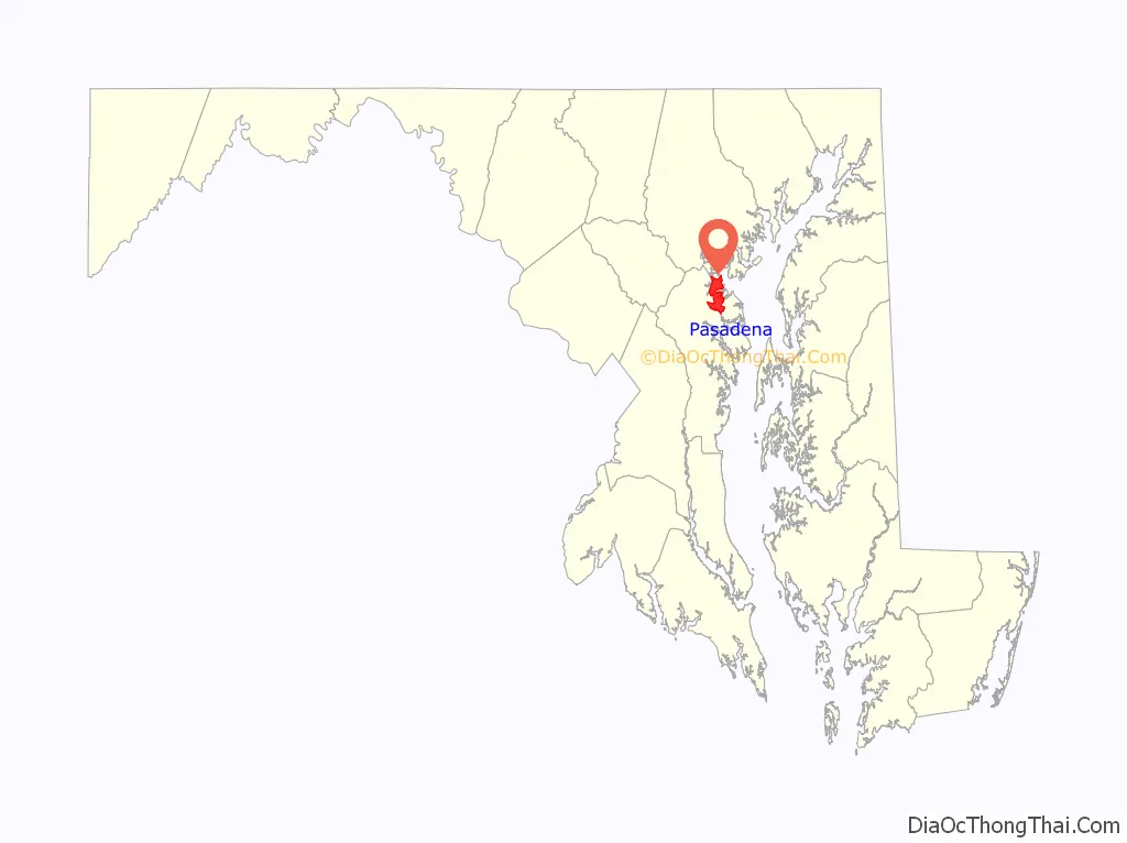
Pasadena location map. Where is Pasadena CDP?
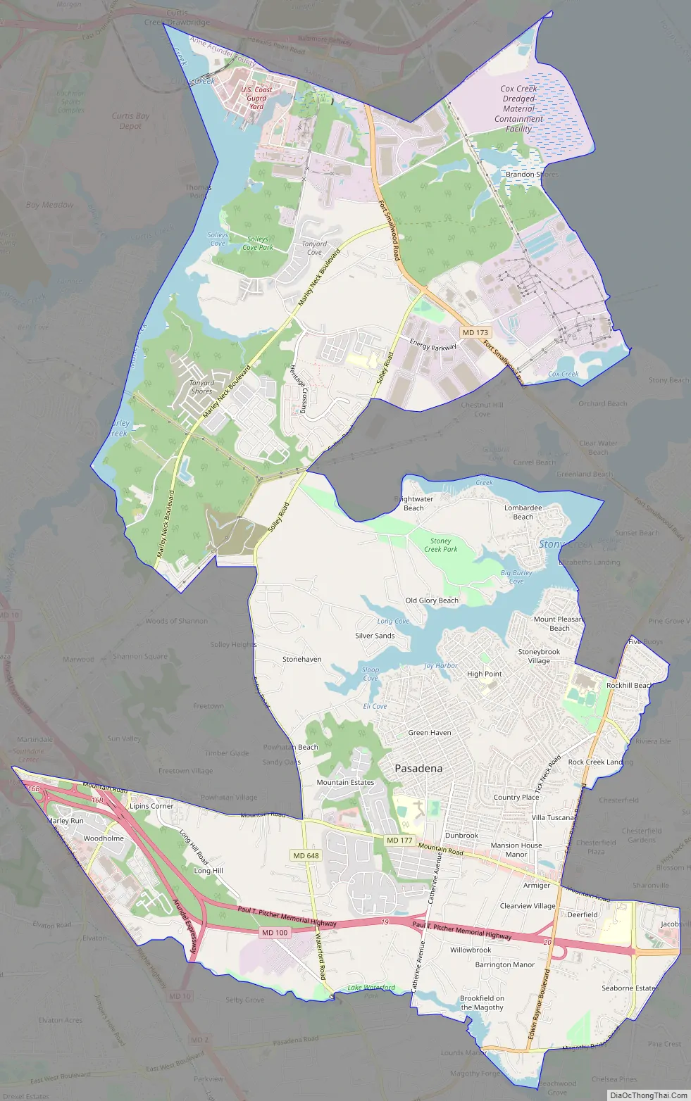
Pasadena Road Map
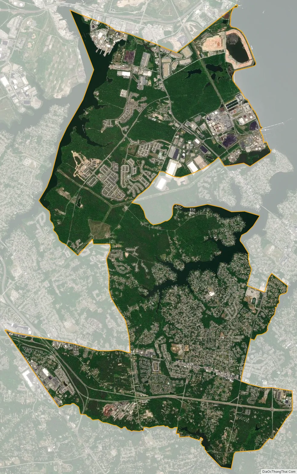
Pasadena city Satellite Map
Geography
Pasadena is located at 39°6′46″N 76°33′7″W / 39.11278°N 76.55194°W / 39.11278; -76.55194 (39.112809, −76.551871) in northern Anne Arundel County. It is bordered to the north by the city of Baltimore, to the east by the tidal Patapsco River and by Riviera Beach, to the southeast by Lake Shore, to the south by Severna Park, and to the west by Glen Burnie. The original community of Pasadena, shown on USGS topographic maps at the intersection of Pasadena Road and Governor Ritchie Highway (Maryland Route 2), is now assigned by the U.S. Census Bureau to the Severna Park census-designated place, south of the border for the Pasadena CDP, which itself is centered along Mountain Road (Maryland Route 177) and includes the neighborhoods of Ashburn and Green Haven, and extends north along the Marley Neck peninsula all the way to the Baltimore city line.
According to the United States Census Bureau, the CDP has a total area of 16.1 square miles (41.7 km). 14.9 square miles (38.7 km) of it is land, and 1.2 square miles (3.1 km) of it (7.31%) is water.
See also
Map of Maryland State and its subdivision: Map of other states:- Alabama
- Alaska
- Arizona
- Arkansas
- California
- Colorado
- Connecticut
- Delaware
- District of Columbia
- Florida
- Georgia
- Hawaii
- Idaho
- Illinois
- Indiana
- Iowa
- Kansas
- Kentucky
- Louisiana
- Maine
- Maryland
- Massachusetts
- Michigan
- Minnesota
- Mississippi
- Missouri
- Montana
- Nebraska
- Nevada
- New Hampshire
- New Jersey
- New Mexico
- New York
- North Carolina
- North Dakota
- Ohio
- Oklahoma
- Oregon
- Pennsylvania
- Rhode Island
- South Carolina
- South Dakota
- Tennessee
- Texas
- Utah
- Vermont
- Virginia
- Washington
- West Virginia
- Wisconsin
- Wyoming


