Brentwood is a town in Prince George’s County, Maryland, United States. Per the 2020 census, the population was 3,828. Brentwood is located within 1-mile (1.6 km) of Washington. The municipality of Brentwood is located just outside the northeast boundary of the District of Columbia and surrounded by the communities of Mount Rainier, Cottage City, North Brentwood, and the nearby Hyattsville. Along the Route 1 Corridor, Brentwood is part of the Gateway Arts District.
| Name: | Brentwood town |
|---|---|
| LSAD Code: | 43 |
| LSAD Description: | town (suffix) |
| State: | Maryland |
| County: | Prince George’s County |
| Incorporated: | 1922 |
| Elevation: | 23 ft (7 m) |
| Total Area: | 0.39 sq mi (1.00 km²) |
| Land Area: | 0.39 sq mi (1.00 km²) |
| Water Area: | 0.00 sq mi (0.00 km²) |
| Total Population: | 3,828 |
| Population Density: | 9,942.86/sq mi (3,841.78/km²) |
| ZIP code: | 20722 |
| Area code: | 301, 240 |
| FIPS code: | 2409500 |
| GNISfeature ID: | 0597122 |
Online Interactive Map
Click on ![]() to view map in "full screen" mode.
to view map in "full screen" mode.
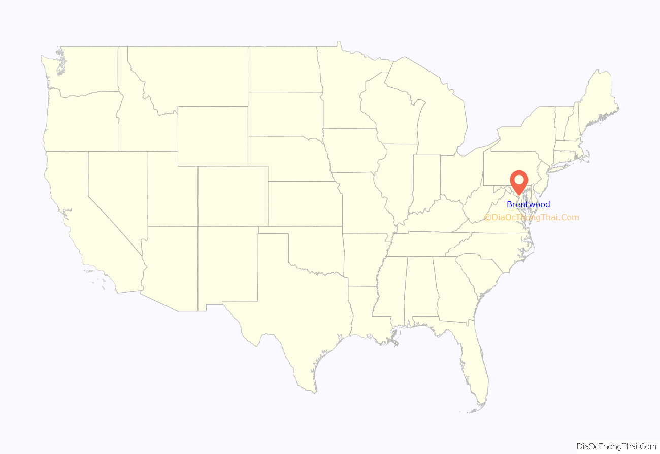
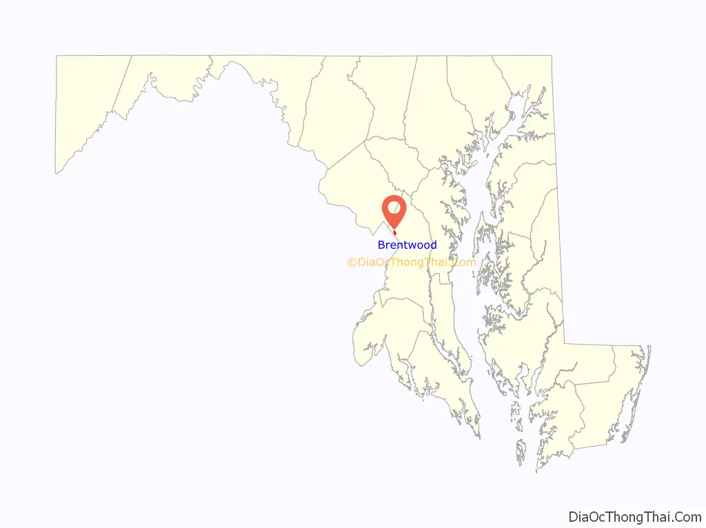
Brentwood location map. Where is Brentwood town?
History
The town was originally incorporated in 1922 and is named after the Brentwood estate built in 1817 by Robert Brent in Northeast Washington, DC. The town was developed beginning in the 1890s around the Highland Station of the Washington Branch of the B & O Railroad and the Columbia and Maryland Railway. Brentwood was created by Wallace A. Bartlett, a Civil War veteran, former foreman for the Government Printing Office, Patent Office examiner, and inventor originally from Warsaw, New York. Captain Bartlett lived in Washington, D.C. until 1887, when he purchased 206 acres (0.83 km) of farmland from Benjamin Holliday, which abutted the Highland subdivision. Bartlett built a farmhouse for his family on the land and, with two partners J. Lee Adams and Samuel J. Mills, formed the Holladay Land and Improvement Company. Captain Bartlett died in 1908.
In 1891, the Company platted a residential subdivision called “Holladay Company’s Addition to Highland” on 80 acres (320,000 m) of the Bartlett Farm. The lots were approximately 40 feet (12 m) by 100 feet (30 m) and were arranged around an irregular grid of streets. The lots in the northern part of the subdivision, which eventually would become North Brentwood, were smaller and were subject to flooding from a mill race. These lots were less expensive, and Bartlett encouraged their purchase by African-American families with whom he was indirectly associated from his command of U.S. Colored Troops in the Civil War. The more expensive lots to the south were purchased by white working-class families, many of whom were employed as federal government clerks. Seven additional houses were built by 1896. In 1899 Bartlett purchased the Fenwick family farm which was located to the west of the Holladay Company’s Addition to Highland. With two new partners, J. Baker and Dr. Sigmund A. Czarra, Bartlett began the Brentwood Company. The 95-acre (380,000 m) area was surveyed and platted in 1899. The Holladay Addition homes represented a typical cross-section of housing styles popular in the late-19th century, including I-houses, vernacular houses with Queen Anne detailing, Four-squares, and front-gable houses.
The community continued to grow in the early 20th century. A school was built, and the Brentwood Citizens’ Association formed in 1903, a Methodist church was constructed in 1904, a fire department was started in 1905, and was formed in 1903. Kerosene street lamps were added in 1917, and electric lights were installed in 1920. When incorporated, the town included the southerly part of the Holladay Addition, the Brentwood Company subdivision, and two smaller additions. The houses built during this time consisted of small frame bungalows. Growth continued through the 1940s and 1950s, fueled by an influx of government workers. In the 1950s, many older homes were replaced and empty lots were filled with small cottages and ranch houses.
The majority of homes in Brentwood were built during and after World War II; young people coming to Washington, D.C., to support the war effort found a quiet place to raise their families. There are two small service-oriented commercial areas. A focal point is Bartlett Park named for Captain Bartlett who deeded the land to the town. The park is home to the Wohlfarth Building, which serves as the Town Hall.
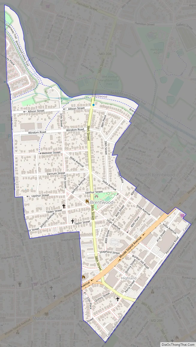
Brentwood Road Map
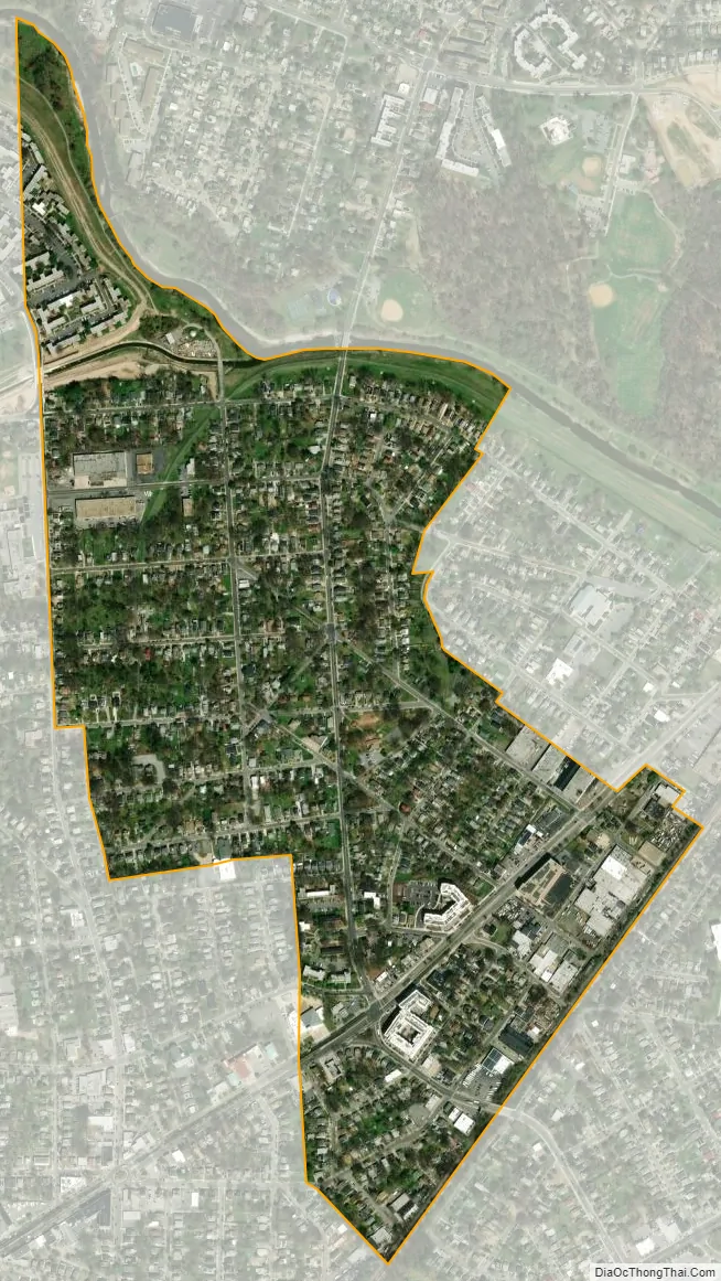
Brentwood city Satellite Map
Geography
Brentwood is located at 38°56′31″N 76°57′20″W / 38.94194°N 76.95556°W / 38.94194; -76.95556 (38.942011, -76.955597).
According to the United States Census Bureau, the town has a total area of 0.38 square miles (0.98 km), all land.
See also
Map of Maryland State and its subdivision: Map of other states:- Alabama
- Alaska
- Arizona
- Arkansas
- California
- Colorado
- Connecticut
- Delaware
- District of Columbia
- Florida
- Georgia
- Hawaii
- Idaho
- Illinois
- Indiana
- Iowa
- Kansas
- Kentucky
- Louisiana
- Maine
- Maryland
- Massachusetts
- Michigan
- Minnesota
- Mississippi
- Missouri
- Montana
- Nebraska
- Nevada
- New Hampshire
- New Jersey
- New Mexico
- New York
- North Carolina
- North Dakota
- Ohio
- Oklahoma
- Oregon
- Pennsylvania
- Rhode Island
- South Carolina
- South Dakota
- Tennessee
- Texas
- Utah
- Vermont
- Virginia
- Washington
- West Virginia
- Wisconsin
- Wyoming


