Chevy Chase View is a town located in Montgomery County, Maryland, United States. Established as a Special Tax District in 1924, the town was formally incorporated on October 28, 1993. The population was 920 at the 2010 census.
| Name: | Chevy Chase View town |
|---|---|
| LSAD Code: | 43 |
| LSAD Description: | town (suffix) |
| State: | Maryland |
| County: | Montgomery County |
| Incorporated: | October 28, 1993 |
| Elevation: | 318 ft (97 m) |
| Total Area: | 0.27 sq mi (0.69 km²) |
| Land Area: | 0.27 sq mi (0.69 km²) |
| Water Area: | 0.00 sq mi (0.00 km²) |
| Total Population: | 1,005 |
| Population Density: | 3,750.00/sq mi (1,446.46/km²) |
| ZIP code: | 20895 |
| Area code: | 240 and 301 |
| FIPS code: | 2416775 |
| GNISfeature ID: | 0589968 |
| Website: | www.chevychaseview.org |
Online Interactive Map
Click on ![]() to view map in "full screen" mode.
to view map in "full screen" mode.
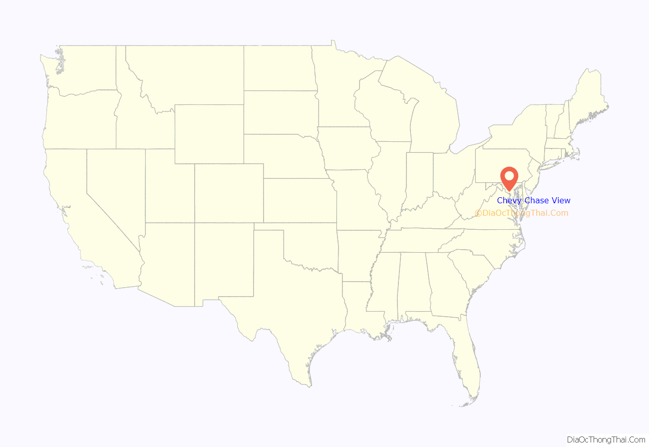
Chevy Chase View location map. Where is Chevy Chase View town?
History
The origins of the town date to 18 April 1910 when a “Plat of Chevy Chase View” was recorded. Real estate developer Claude Livingstone designed the community the previous year and then conveyed it to Harry E. Smith and John L. Whitmore. Livingstone’s design, except for a few minor street changes, has remained largely the same since. In 1924, a special tax district was formed.
On August 3, 1993, the Montgomery County Council unanimously voted to allow residents to vote on whether to incorporate as a town. Residents voted in favor of incorporation in a referendum held on September 21, 1993. The Montgomery County Council certified the results of the referendum, effective October 28, 1993.
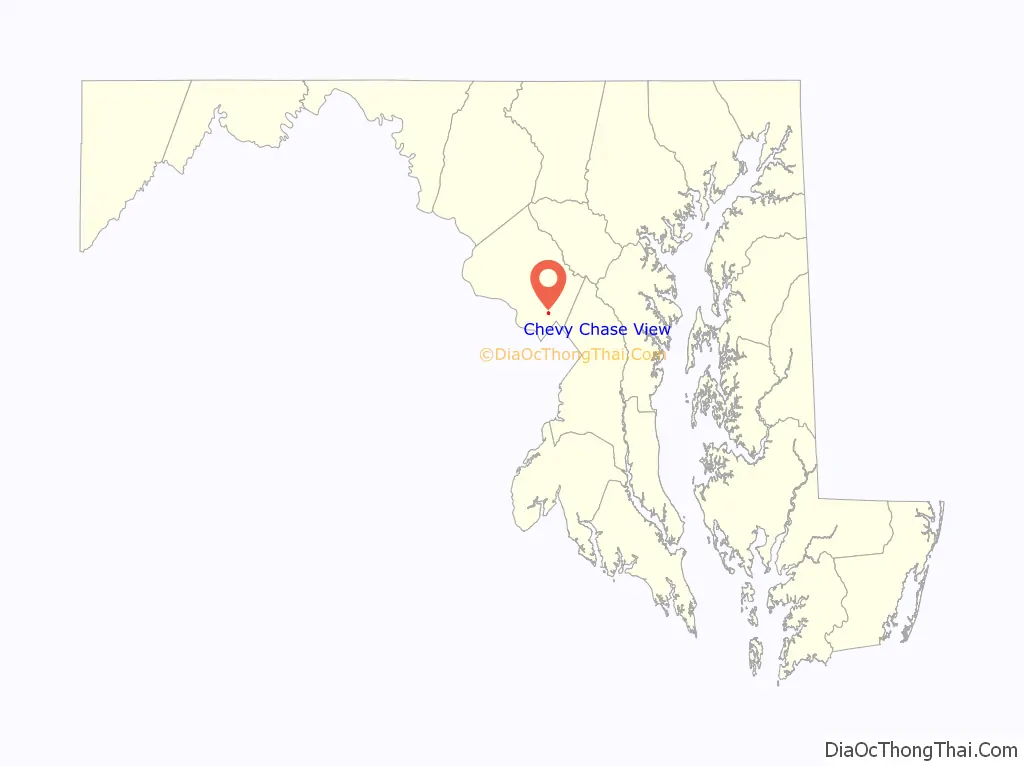
Chevy Chase View Road Map

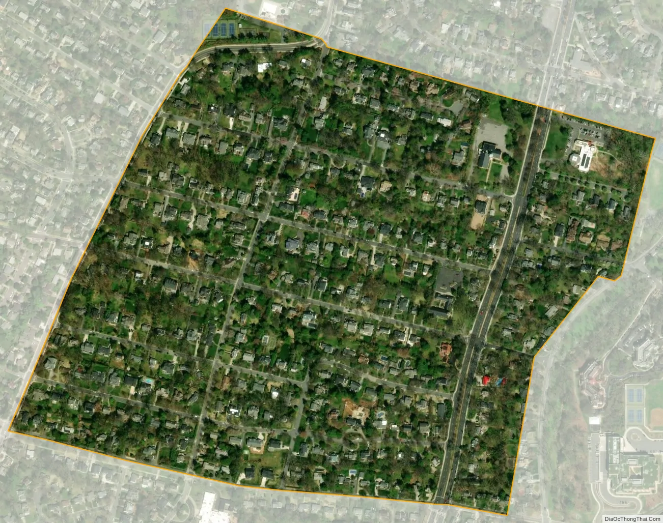
Chevy Chase View city Satellite Map
Geography
Chevy Chase View is located at 39°1’4″ North, 77°4’50” West (39.017759, -77.080508).
According to the United States Census Bureau, the town has a total area of 0.28 square miles (0.73 km), all land.
The town lies between Kensington to the north and the Capital Beltway to the south. It is bisected by Connecticut Avenue. To the east lies Silver Spring, to the west are Garrett Park and Bethesda, and to the south is the Beltway, Rock Creek Park, and North Chevy Chase.
Except for the three houses of worship within its bounds, Chevy Chase View is entirely residential. Its streets are lined by hundred-year-old oaks, maples, and evergreens, plus decorative plantings which the town maintains in its right-of-ways. Housing turnover is slow.
See also
Map of Maryland State and its subdivision: Map of other states:- Alabama
- Alaska
- Arizona
- Arkansas
- California
- Colorado
- Connecticut
- Delaware
- District of Columbia
- Florida
- Georgia
- Hawaii
- Idaho
- Illinois
- Indiana
- Iowa
- Kansas
- Kentucky
- Louisiana
- Maine
- Maryland
- Massachusetts
- Michigan
- Minnesota
- Mississippi
- Missouri
- Montana
- Nebraska
- Nevada
- New Hampshire
- New Jersey
- New Mexico
- New York
- North Carolina
- North Dakota
- Ohio
- Oklahoma
- Oregon
- Pennsylvania
- Rhode Island
- South Carolina
- South Dakota
- Tennessee
- Texas
- Utah
- Vermont
- Virginia
- Washington
- West Virginia
- Wisconsin
- Wyoming


