Cottage City, officially the Town of Cottage City, is a town in Prince George’s County, Maryland, United States. Per the 2020 census, the population was 1,335. Cottage City is a small, quiet community lying between Eastern Avenue (the border with Washington), Brentwood, Colmar Manor, and the Anacostia River. Cottage City was developed, beginning in 1870, under the name of “The Highlands”. The area was incorporated in 1924 as Cottage City.
| Name: | Cottage City town |
|---|---|
| LSAD Code: | 43 |
| LSAD Description: | town (suffix) |
| State: | Maryland |
| County: | Prince George’s County |
| Incorporated: | 1924 |
| Elevation: | 30 ft (9 m) |
| Total Area: | 0.28 sq mi (0.74 km²) |
| Land Area: | 0.27 sq mi (0.71 km²) |
| Water Area: | 0.01 sq mi (0.03 km²) |
| Total Population: | 1,335 |
| Population Density: | 4,908.09/sq mi (1,893.53/km²) |
| ZIP code: | 20722 |
| Area code: | 301, 240 |
| FIPS code: | 2420050 |
| GNISfeature ID: | 0597284 |
| Website: | http://www.cottagecitymd.gov/ |
Online Interactive Map
Click on ![]() to view map in "full screen" mode.
to view map in "full screen" mode.
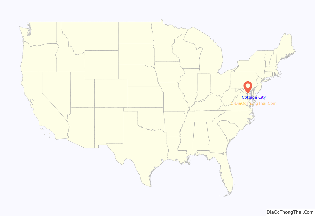
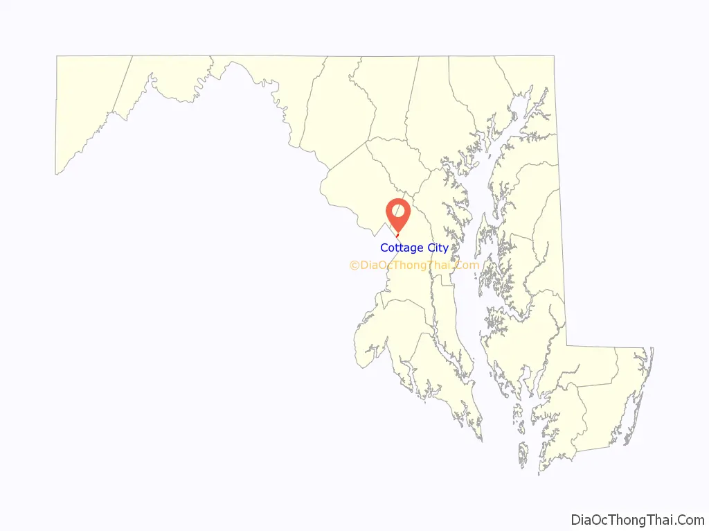
Cottage City location map. Where is Cottage City town?
History
Its history dates to pre-revolutionary America; old records indicate that the area was home to several of the Potomac River Indian tribes. With the coming of European settlers, the area became noted for its deep-water Anacostia River port, known then as Harrison’s Landing. Contributing to the economy of Harrison’s Landing was Moyer’s Grist Mill located in Yarrow, the very first mill of its type between Baltimore and Alexandria, Virginia. Yarrow was renamed several times, but today we know Yarrow as Cottage City.
Known as the Dark and Bloody Grounds, the former site of the Bladensburg Dueling Grounds was located along Dueling Creek and Bladensburg Road; the historic location now shares the present-day boundary of the towns of Cottage City and Colmar Manor. Cottage City and Moyer’s Mill played a key role in the Battle of Bladensburg during the War of 1812. The mill acted as a hospital for wounded American militia, as well as an artillery battery. American forces were repulsed in a bitter fight in Mr. Moyer’s orchards, an event that resulted ultimately in the burning of the nation’s capital.
During the post-Civil War years, President Ulysses S. Grant stayed at a summer retreat known as the Friendship House located in Cottage City. Friendship House is long gone, replaced in the 1940s by an apartment house located on 38th Avenue and Parkwood Street.
During the 1870s, groups of developers began to promote a residential community with large lots and a grid pattern of streets, stating the advantages of the community. “The Highlands” would feature cottages and villas on wide avenues, a good view, nominal taxes, and was close to Washington, D.C., the historic Bladensburg battlefield, spa spring, and dueling ground. The development failed despite the advertising campaign. In 1886, Colonel Gilbert Moyer bought the Highland tract, and incorporated the Highland Company in 1888. The land was re-subdivided into smaller lots, and Moyer promoted the land by including information that a streetcar line was soon to be developed in the area. This attempt to develop the area also failed. A few houses were developed on the Moyer property beginning in 1904 with broad streets laid out in a grid and trees planted along the street. A single-track trolley line ran through the community from Washington to Bladensburg. Called the Washington, Spa Spring and Gretta Railroad, the trolley was eventually discontinued in 1923, partially due to competition from the Baltimore and Ohio Railroad and the streetcar line in Mount Rainier.
In 1915, Charles Lightbrown borrowed money and attempted to market the subdivision plat from 1888 with a few minor changes. This attempt succeeded where the two earlier attempts had failed. Lightbrown built most of the housing in the community. Consisting of one-story cottages with four rooms and no running water, the housing was attractive to veterans returning from World War I who needed economical homes which were ready to inhabit. Electric service was introduced to the community in 1914. In 1919, the Washington Suburban Sanitary Commission installed water service to the town; sewer service was added the following year. The town was incorporated in 1924, taking its name from the uniform cottages built by Charles Lightbrown.
The exorcism of Roland Doe, the story that was the basis for the 1971 novel and 1973 film The Exorcist, has its roots in Cottage City.
In 1999, Cottage City, Bladensburg, and Colmar Manor were lauded by the Joint Center for Sustainable Communities for their collaboration with Prince George’s County for the Port Towns Revitalization Initiative, which created a common Port Towns identity for the towns; encouraged businesses development through infrastructure and façade improvements; acquisition of historic properties and plans for their reuse; and reconstruction of the Bladensburg waterfront and marina.
Today, Cottage City is a small, ethnically mixed community with old cottage-style homes that sit on tree-lined streets. The community is an active and enthusiastic partner with the county in the Port Towns Redevelopment Plan, an effort to revitalize the neighborhoods while preserving their historic heritages. The riches that the town hopes to gain by this effort are an improved environment and an improved quality of life for its citizens.
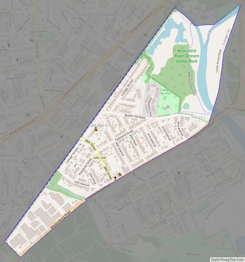
Cottage City Road Map
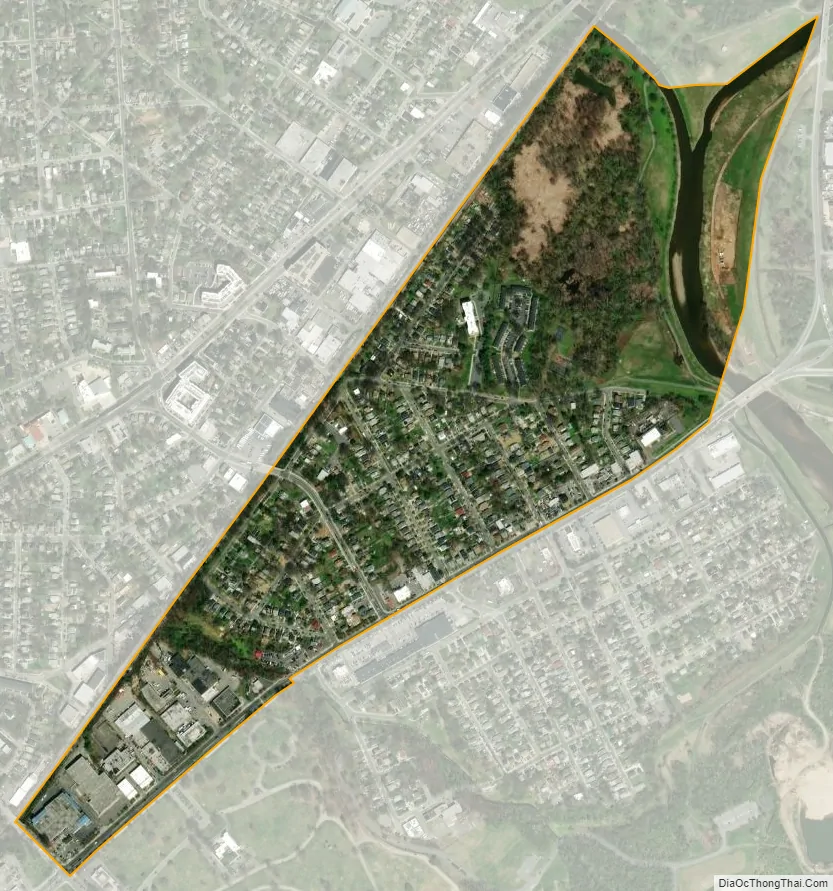
Cottage City city Satellite Map
Geography
Cottage City is located at 38°56′11″N 76°57′2″W / 38.93639°N 76.95056°W / 38.93639; -76.95056 (38.936261, -76.950606).
According to the United States Census Bureau, the town has a total area of 0.25 square miles (0.65 km), all land.
See also
Map of Maryland State and its subdivision: Map of other states:- Alabama
- Alaska
- Arizona
- Arkansas
- California
- Colorado
- Connecticut
- Delaware
- District of Columbia
- Florida
- Georgia
- Hawaii
- Idaho
- Illinois
- Indiana
- Iowa
- Kansas
- Kentucky
- Louisiana
- Maine
- Maryland
- Massachusetts
- Michigan
- Minnesota
- Mississippi
- Missouri
- Montana
- Nebraska
- Nevada
- New Hampshire
- New Jersey
- New Mexico
- New York
- North Carolina
- North Dakota
- Ohio
- Oklahoma
- Oregon
- Pennsylvania
- Rhode Island
- South Carolina
- South Dakota
- Tennessee
- Texas
- Utah
- Vermont
- Virginia
- Washington
- West Virginia
- Wisconsin
- Wyoming


