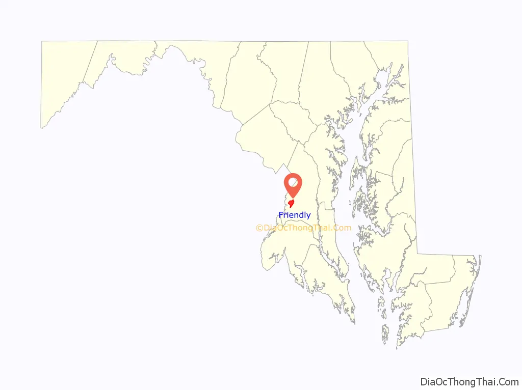
Friendly is an unincorporated area and census-designated place (CDP) in Prince George’s County, Maryland, United States, with an African-American majority population, located a few miles south of Washington, D.C. The population was 9,937 at the 2020 census.
Friendly had its own rural post office in the early 20th century, and is now under the mailing address Fort Washington. The name “Friendly” is most associated with Friendly High School, which serves most of the greater Fort Washington area. The Friendly area was largely rural until about 1960 and has steadily grown with single-family housing developments. At least five new residential neighborhoods are currently under construction in the area. Allentown Road connects Friendly with Andrews Air Force Base.
| Name: | Friendly CDP |
|---|---|
| LSAD Code: | 57 |
| LSAD Description: | CDP (suffix) |
| State: | Maryland |
| County: | Prince George’s County |
| Elevation: | 236 ft (72 m) |
| Total Area: | 4.88 sq mi (12.64 km²) |
| Land Area: | 4.88 sq mi (12.63 km²) |
| Water Area: | 0.01 sq mi (0.01 km²) |
| Total Population: | 9,937 |
| Population Density: | 2,037.94/sq mi (786.81/km²) |
| FIPS code: | 2430575 |
| GNISfeature ID: | 0597435 |
Online Interactive Map
Click on ![]() to view map in "full screen" mode.
to view map in "full screen" mode.
Friendly location map. Where is Friendly CDP?
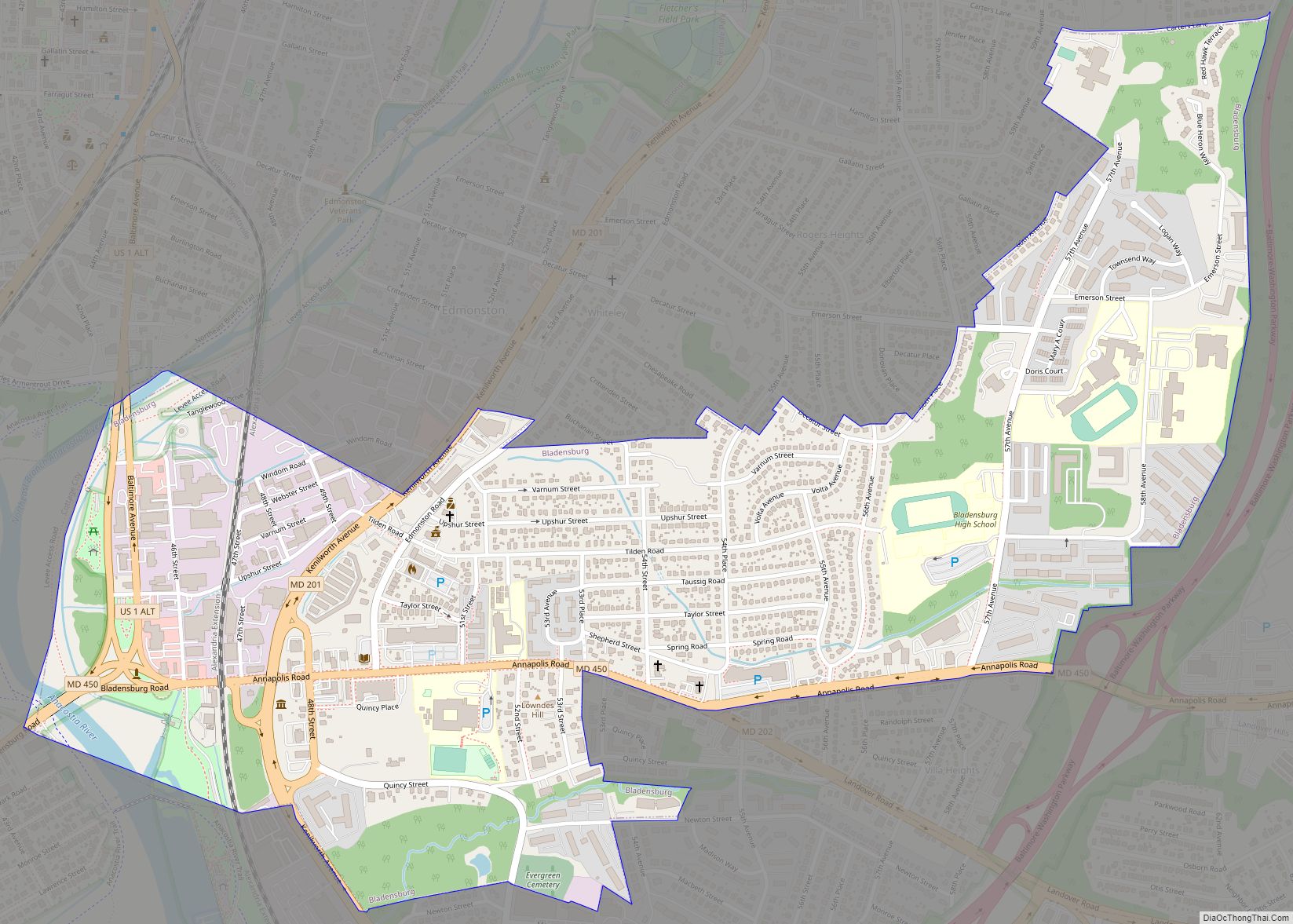
Friendly Road Map
Friendly city Satellite Map
Geography
Friendly is located at 38°45′0″N 76°58′27″W / 38.75000°N 76.97417°W / 38.75000; -76.97417 (38.750064, −76.974267).
According to the United States Census Bureau, the CDP has a total area of 4.9 square miles (12.6 km), all land.
See also
Map of Maryland State and its subdivision: Map of other states:- Alabama
- Alaska
- Arizona
- Arkansas
- California
- Colorado
- Connecticut
- Delaware
- District of Columbia
- Florida
- Georgia
- Hawaii
- Idaho
- Illinois
- Indiana
- Iowa
- Kansas
- Kentucky
- Louisiana
- Maine
- Maryland
- Massachusetts
- Michigan
- Minnesota
- Mississippi
- Missouri
- Montana
- Nebraska
- Nevada
- New Hampshire
- New Jersey
- New Mexico
- New York
- North Carolina
- North Dakota
- Ohio
- Oklahoma
- Oregon
- Pennsylvania
- Rhode Island
- South Carolina
- South Dakota
- Tennessee
- Texas
- Utah
- Vermont
- Virginia
- Washington
- West Virginia
- Wisconsin
- Wyoming

