Fort Washington is an unincorporated area and census-designated place in Prince George’s County, Maryland, United States. It borders the Potomac River, situated 20 miles south of the downtown Washington, DC. As of the 2020 census it had a population of 24,261. The Fort Washington community is located west of Maryland Route 210, with some additional area to the east of the highway.
| Name: | Fort Washington CDP |
|---|---|
| LSAD Code: | 57 |
| LSAD Description: | CDP (suffix) |
| State: | Maryland |
| County: | Prince George’s County |
| Elevation: | 105 ft (32 m) |
| Total Area: | 16.57 sq mi (42.92 km²) |
| Land Area: | 13.79 sq mi (35.73 km²) |
| Water Area: | 2.78 sq mi (7.19 km²) |
| Total Population: | 24,261 |
| Population Density: | 1,758.81/sq mi (679.08/km²) |
| ZIP code: | 20744, 20749 |
| Area code: | 301, 240 |
| FIPS code: | 2429525 |
| GNISfeature ID: | 0598313 |
Online Interactive Map
Click on ![]() to view map in "full screen" mode.
to view map in "full screen" mode.
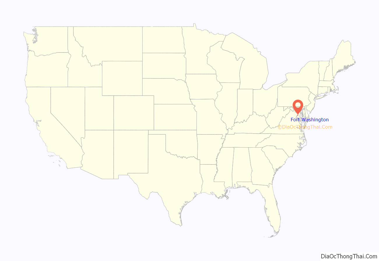
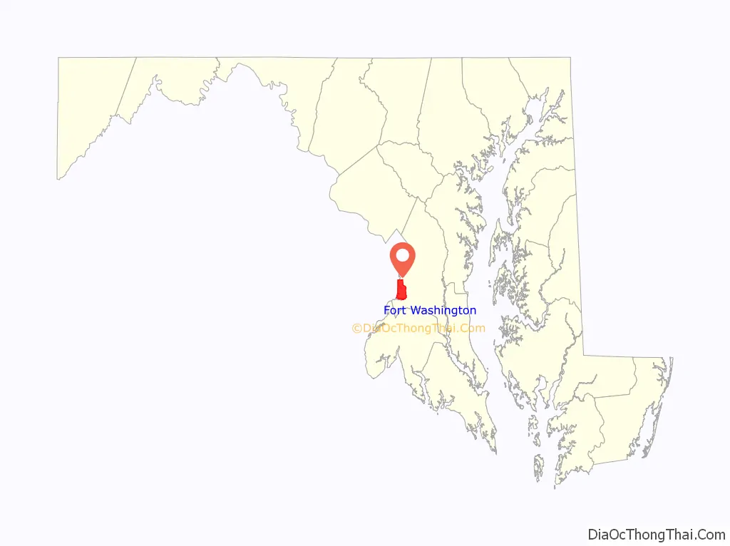
Fort Washington location map. Where is Fort Washington CDP?
History
The Fort
The community is named for Fort Washington. The first Fort Washington was completed in 1809, and was the only defensive fort protecting Washington, D.C. It consisted of a small earthwork near the Potomac River shore. The failure of that fort to stop a British fleet from invading the national capital during the War of 1812 led to the construction of the current, larger, stone fortification. In 1844, a cannon exploded on the USS Princeton as it was passing Fort Washington. During World War II, the US Army’s Adjutant General’s School was located at the fort, and had billeting for 362 officers and 2,526 enlisted persons.
The site is now part of a very extensive park with views of the Potomac River and hiking paths. It is a scenic place for picnicking, fishing and outdoor recreation. (Admission is free to people entering after business hours and before sunset.)
War of 1812
During the War of 1812 Fort Washington, built to protect the capital from enemy advances on the Potomac River, was captured by the British under the command of Admiral Gordon, three days after the burning of the capital.
Civil War
Upon the outbreak of the American Civil War, fearing for the safety of Washington in case of attack, Secretary of the Navy Isaac Toucey ordered a detachment of US Marines to garrison the fort.
In May 1865 Secretary of the Navy Gideon Welles ordered the Potomac Flotilla reduced to half strength due to cessation of hostilities. This included the removal of the Marines from Fort Washington.
Twentieth century to present
Near the fort are many riverfront homes, two marinas, two community pools, and National Golf Club. The area was rural until about 1960 when suburban growth began and is continuing to grow, adding new, large family homes in small developments next to older existing developments. Until the founding of the Oxon Hill post office about 1960, the Fort Washington area generally used the mailing address Washington, D.C., except for the few years that Friendly had a post office. About 1980 the postal service split the Fort Washington area from Oxon Hill, defining it as a separate town name. At that time, to make mail sorting easier, they drew the boundary between the two communities to conform to already existing zip code boundaries. The end result sometimes confuses people, since the northern end of the Fort Washington postal area (near the Beltway) identifies more with the communities Oxon Hill or Temple Hills / Camp Springs but still uses a Fort Washington mailing address.
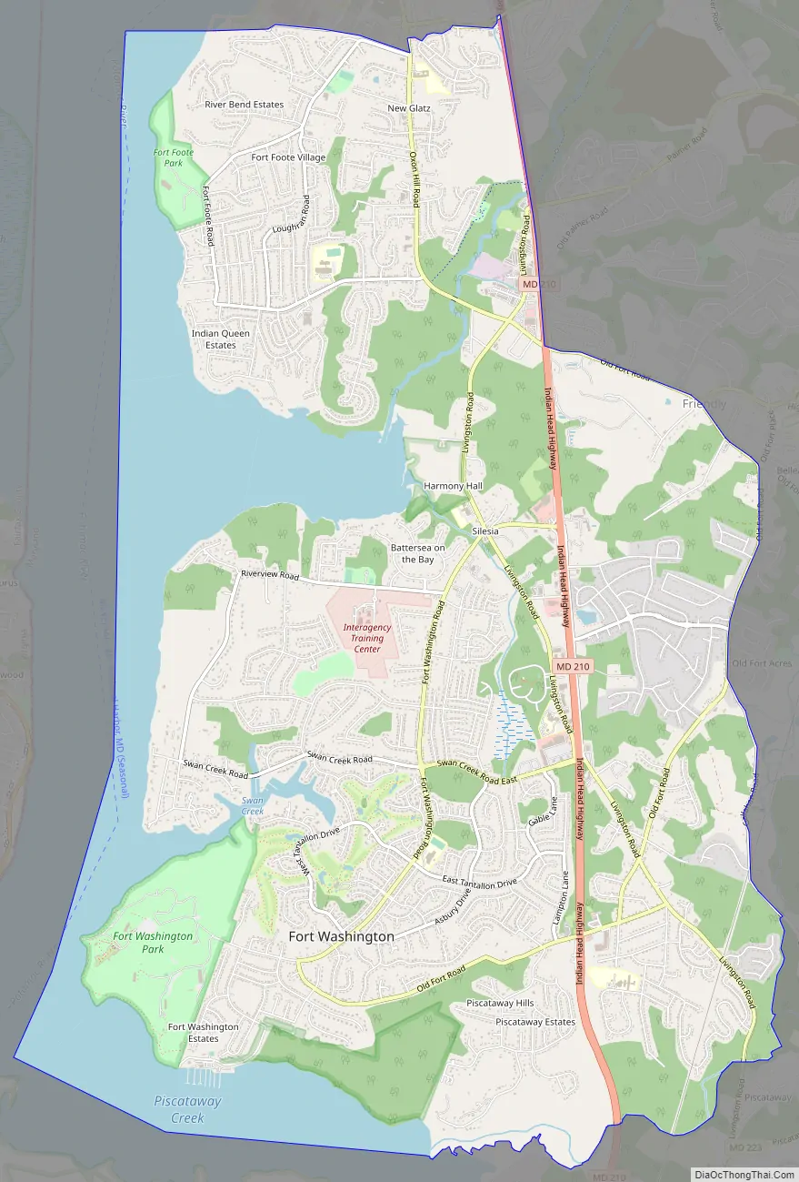
Fort Washington Road Map
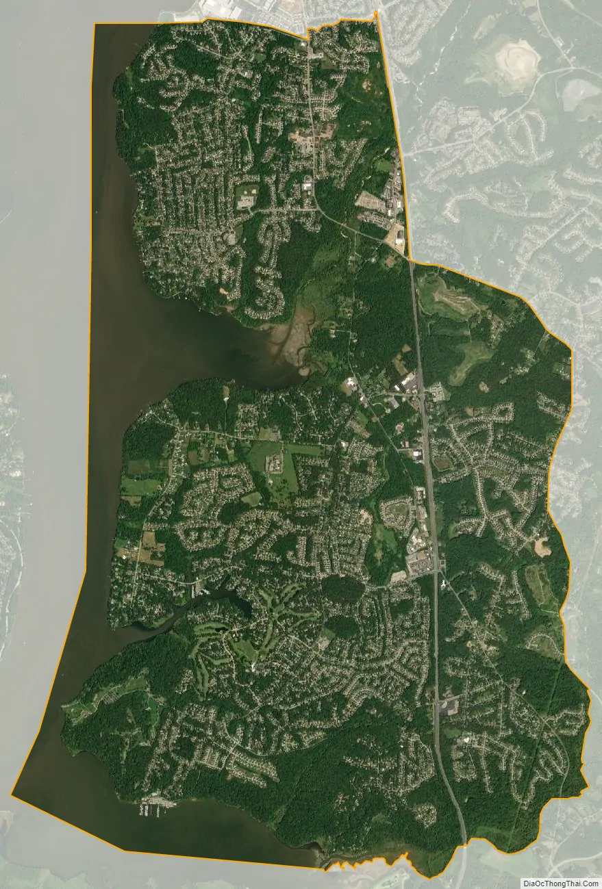
Fort Washington city Satellite Map
Geography
Fort Washington is located at 38°44′37″N 77°0′37″W / 38.74361°N 77.01028°W / 38.74361; -77.01028 (38.743481, -77.010383).
According to the United States Census Bureau, the CDP has a total area of 16.57 square miles (42.9 km), of which 13.79 square miles (35.7 km) is land and 2.78 square miles (7.2 km), or 16.8%, is water.
First-time visitors are often confused by the several “Livingston Roads” which repeatedly crosses Route 210, as well as by the two separate “Old Fort Roads”, causing them to make wrong turns off of Maryland Route 210. Eventually all roads intersecting Route 210 in the Fort Washington area (from the Beltway as far south as the highway 210 curve at Piscataway Creek) are planned for upgrading to controlled-access interchanges (eliminating all traffic signals) gradually during the 2020s decade.
The fort’s land originally included 347 acres, which was last surveyed in June 1944.
See also
Map of Maryland State and its subdivision: Map of other states:- Alabama
- Alaska
- Arizona
- Arkansas
- California
- Colorado
- Connecticut
- Delaware
- District of Columbia
- Florida
- Georgia
- Hawaii
- Idaho
- Illinois
- Indiana
- Iowa
- Kansas
- Kentucky
- Louisiana
- Maine
- Maryland
- Massachusetts
- Michigan
- Minnesota
- Mississippi
- Missouri
- Montana
- Nebraska
- Nevada
- New Hampshire
- New Jersey
- New Mexico
- New York
- North Carolina
- North Dakota
- Ohio
- Oklahoma
- Oregon
- Pennsylvania
- Rhode Island
- South Carolina
- South Dakota
- Tennessee
- Texas
- Utah
- Vermont
- Virginia
- Washington
- West Virginia
- Wisconsin
- Wyoming


