Glenn Dale is an unincorporated area and census-designated place (CDP) in Prince George’s County, Maryland, United States. The population was 14,698 at the 2020 census. Glenn Dale is home to the Glenn Dale Hospital, an abandoned sanatorium, and the USDA Plant Introduction Station.
| Name: | Glenn Dale CDP |
|---|---|
| LSAD Code: | 57 |
| LSAD Description: | CDP (suffix) |
| State: | Maryland |
| County: | Prince George’s County |
| Elevation: | 121 ft (37 m) |
| Total Area: | 7.26 sq mi (18.81 km²) |
| Land Area: | 7.15 sq mi (18.53 km²) |
| Water Area: | 0.11 sq mi (0.28 km²) |
| Total Population: | 14,698 |
| Population Density: | 2,054.51/sq mi (793.20/km²) |
| ZIP code: | 20769, 20720 (extended area) |
| Area code: | 301, 240 |
| FIPS code: | 2433400 |
| GNISfeature ID: | 0598307 |
Online Interactive Map
Click on ![]() to view map in "full screen" mode.
to view map in "full screen" mode.
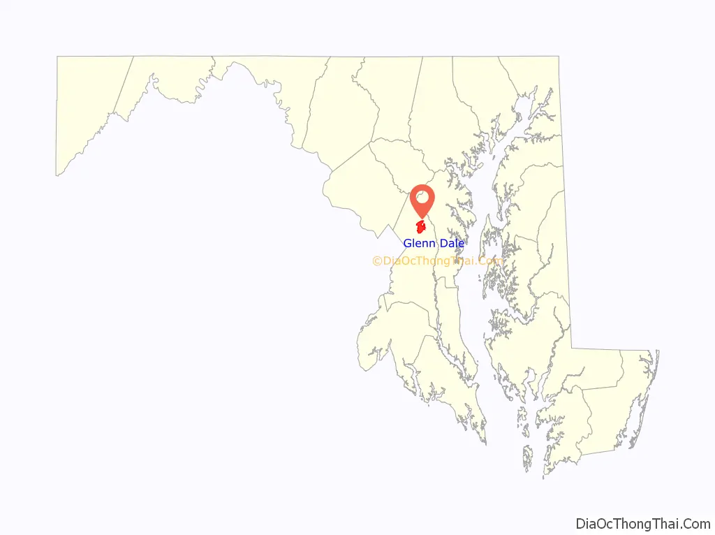
Glenn Dale location map. Where is Glenn Dale CDP?

Glenn Dale Road Map

Glenn Dale city Satellite Map

Geography
Glenn Dale is located at 38°58′58″N 76°48′24″W / 38.98278°N 76.80667°W / 38.98278; -76.80667 (38.982902, −76.806748).
According to the United States Census Bureau, the CDP has a total area of 7.2 square miles (18.7 km), of which 7.1 square miles (18.4 km) is land and 0.12 square miles (0.3 km), or 1.52%, is water.
Climate
The climate in this area is characterized by hot, humid summers and generally mild to cool winters. According to the Köppen Climate Classification system, Glenn Dale has a humid subtropical climate, abbreviated “Cfa” on climate maps.
See also
Map of Maryland State and its subdivision: Map of other states:- Alabama
- Alaska
- Arizona
- Arkansas
- California
- Colorado
- Connecticut
- Delaware
- District of Columbia
- Florida
- Georgia
- Hawaii
- Idaho
- Illinois
- Indiana
- Iowa
- Kansas
- Kentucky
- Louisiana
- Maine
- Maryland
- Massachusetts
- Michigan
- Minnesota
- Mississippi
- Missouri
- Montana
- Nebraska
- Nevada
- New Hampshire
- New Jersey
- New Mexico
- New York
- North Carolina
- North Dakota
- Ohio
- Oklahoma
- Oregon
- Pennsylvania
- Rhode Island
- South Carolina
- South Dakota
- Tennessee
- Texas
- Utah
- Vermont
- Virginia
- Washington
- West Virginia
- Wisconsin
- Wyoming


