Lake Arbor is an unincorporated area and census-designated place (CDP) in Prince George’s County, Maryland, United States. The population was 14,541 at the 2020 census. It is one of the nation’s most affluent African-American communities. The ZIP Codes encompassing the CDP area are 20721 and 20774.
In the 1990s, the U.S. Census Bureau defined the area now delineated as Lake Arbor CDP as being in Mitchellville CDP. The Lake Arbor CDP was delineated as of the 2000 U.S. Census.
| Name: | Lake Arbor CDP |
|---|---|
| LSAD Code: | 57 |
| LSAD Description: | CDP (suffix) |
| State: | Maryland |
| County: | Prince George’s County |
| Elevation: | 167 ft (51 m) |
| Total Area: | 4.06 sq mi (10.52 km²) |
| Land Area: | 4.00 sq mi (10.35 km²) |
| Water Area: | 0.07 sq mi (0.17 km²) |
| Total Population: | 14,541 |
| Population Density: | 3,638.89/sq mi (1,405.00/km²) |
| ZIP code: | 20721 & 20774 |
| FIPS code: | 2444817 |
| GNISfeature ID: | 1852596 |
Online Interactive Map
Click on ![]() to view map in "full screen" mode.
to view map in "full screen" mode.
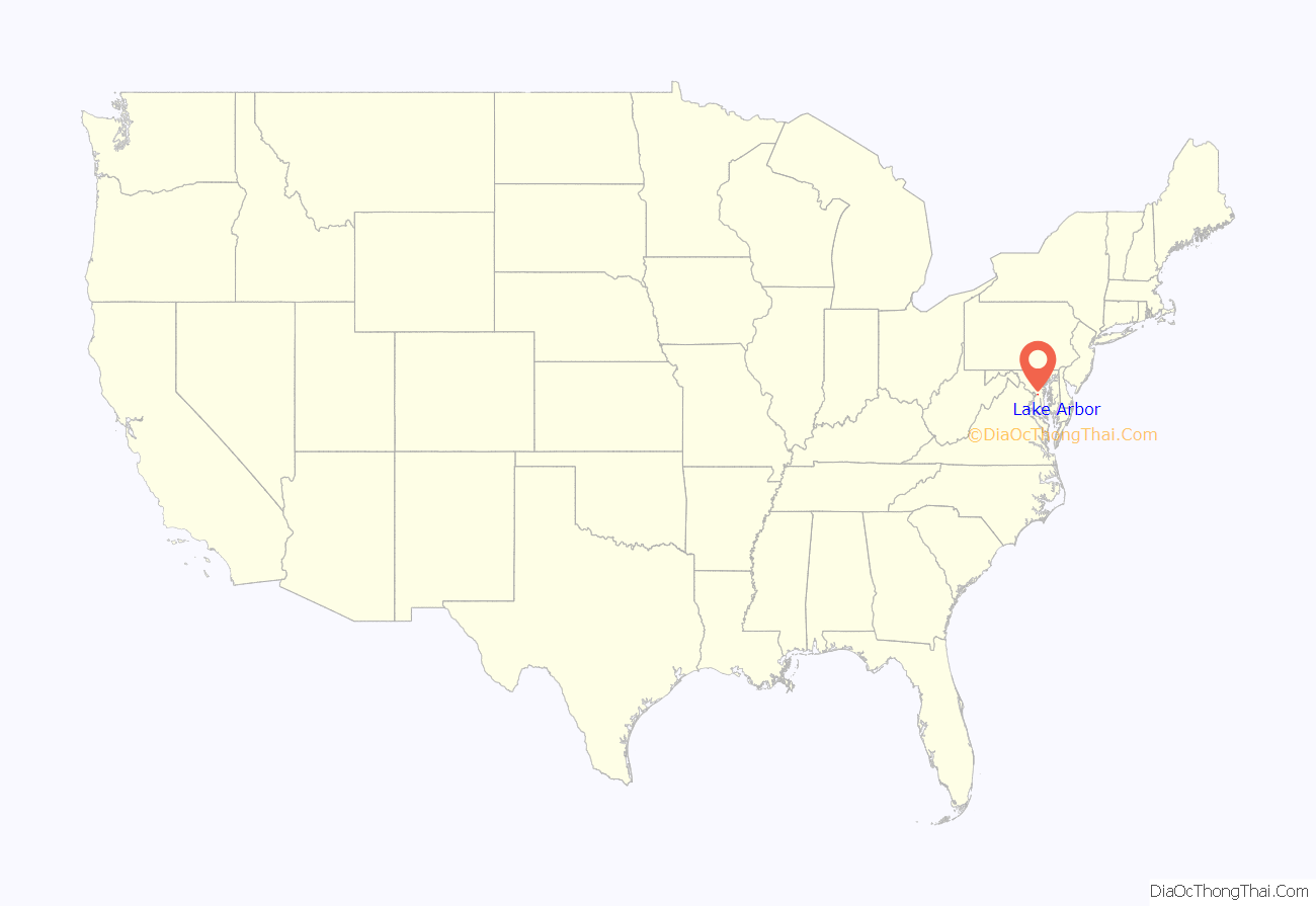
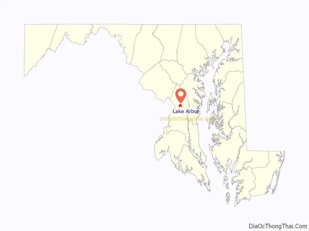
Lake Arbor location map. Where is Lake Arbor CDP?
History
Lake Arbor was originally known as Newbridge, a development of Levitt & Sons, developers of the early planned communities of Levittown in Pennsylvania and Long Island, New York, respectively. When the project went bankrupt in the mid-1970s after selling only 41 houses, Manufacturer’s Hanover Trust acquired the debt and held it as REO (real estate owned) for approximately 10 years until a limited partnership composed of David A. Gitlitz, Alvin Dworman, Phillip Abrahms, Phillip D. Winn, and Gary S. Lachman acquired it. Under the direction of Gitlitz, and with technical engineering assistance from Abrahms, Lachman changed the name of the property to Lake Arbor.
The story of Lake Arbor is emblematic of the socio-economic and demographic evolution of Prince George’s County that occurred in the mid-1980s. Against the strong resistance of many large national builders who perceived Prince George’s County as a price-sensitive retreat for urban African Americans who neither wanted nor could afford upscale amenities for their homes, community developers like Porten Sullivan, Pulte, Winchester, George T. Farrell of Morgan Investments and Jon Laria from Laria Builders built features like two-car garages, brick, fronts and elaborate landscaping and built 2000 luxury homes in this community in the 1980’s, initiating a new path for the rest of Lake Arbor Community. Reynolds Real Estate acted as selling realtor and Industrial Bank of Washington provided construction and purchase financing. To the pleasant surprise of the builders, buyers rushed to embrace (and pay for) these features. Firmly demonstrating both the sophisticated tastes and buying power of the predominantly African American market, as well as codifying architectural standards requested (but not mandated) by county executives such as Winnie Kelly and Governor Parris Glendening, Lake Arbor established Prince George’s County as the most desirable destination for young, affluent African American families moving from Washington, DC for a suburban lifestyle.
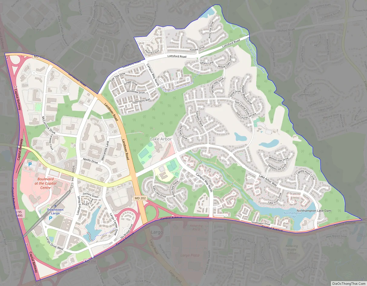
Lake Arbor Road Map
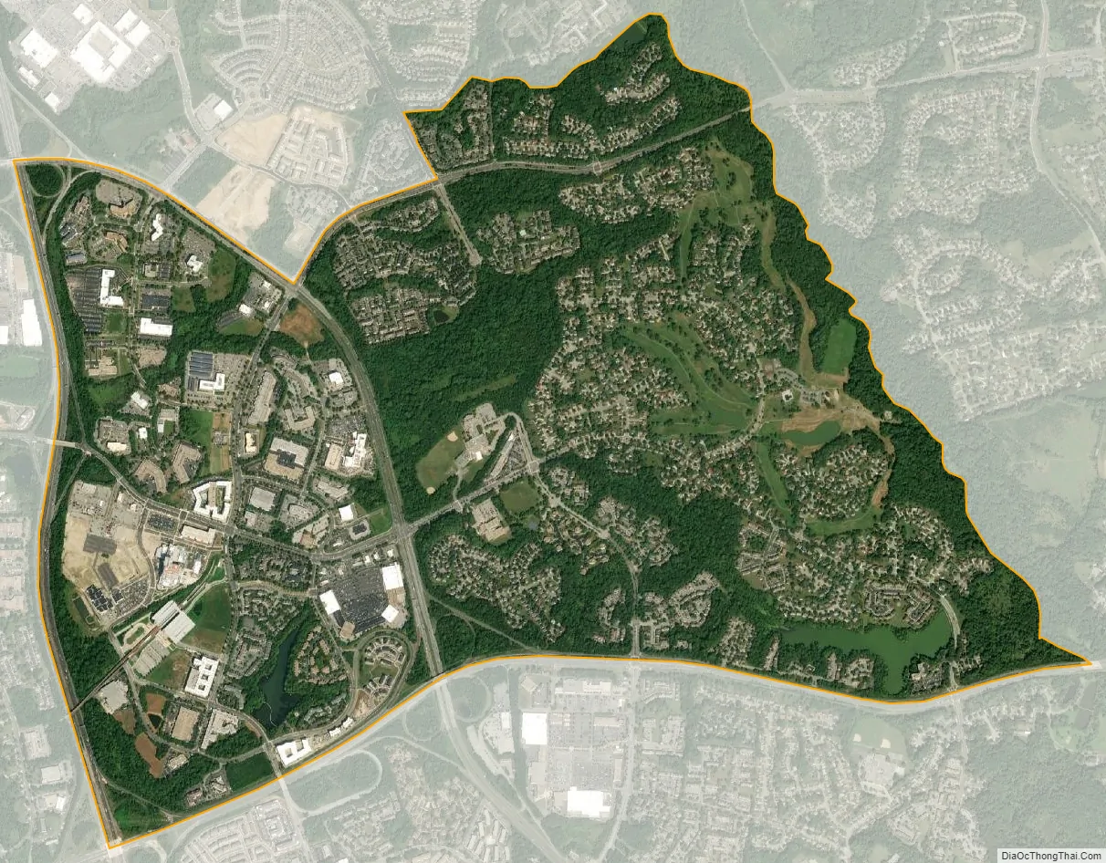
Lake Arbor city Satellite Map
Geography
Lake Arbor is located at 38°54′30″N 76°49′46″W / 38.90833°N 76.82944°W / 38.90833; -76.82944 (38.908306, −76.829525).
According to the United States Census Bureau, the CDP has a total area of 3.2 square miles (8.3 km), of which 3.1 square miles (8.0 km) is land and 0.1 square miles (0.26 km), or 1.58%, is water.
See also
Map of Maryland State and its subdivision: Map of other states:- Alabama
- Alaska
- Arizona
- Arkansas
- California
- Colorado
- Connecticut
- Delaware
- District of Columbia
- Florida
- Georgia
- Hawaii
- Idaho
- Illinois
- Indiana
- Iowa
- Kansas
- Kentucky
- Louisiana
- Maine
- Maryland
- Massachusetts
- Michigan
- Minnesota
- Mississippi
- Missouri
- Montana
- Nebraska
- Nevada
- New Hampshire
- New Jersey
- New Mexico
- New York
- North Carolina
- North Dakota
- Ohio
- Oklahoma
- Oregon
- Pennsylvania
- Rhode Island
- South Carolina
- South Dakota
- Tennessee
- Texas
- Utah
- Vermont
- Virginia
- Washington
- West Virginia
- Wisconsin
- Wyoming


