North Brentwood is a town in Prince George’s County, Maryland, United States. The population was 593 at the 2020 census. The municipality of North Brentwood is located north of Washington and is surrounded by the communities of Brentwood, Hyattsville, and Cottage City, and the nearby Mount Rainier. The Town of North Brentwood was incorporated in 1924, and was the first African-American-majority municipality in Maryland.
| Name: | North Brentwood town |
|---|---|
| LSAD Code: | 43 |
| LSAD Description: | town (suffix) |
| State: | Maryland |
| County: | Prince George’s County |
| Incorporated: | June 12, 1924 |
| Elevation: | 10 ft (3 m) |
| Total Area: | 0.11 sq mi (0.29 km²) |
| Land Area: | 0.11 sq mi (0.29 km²) |
| Water Area: | 0.00 sq mi (0.00 km²) |
| Total Population: | 593 |
| Population Density: | 5,247.79/sq mi (2,028.33/km²) |
| ZIP code: | 20722 |
| Area code: | 301, 240 |
| FIPS code: | 2456375 |
| GNISfeature ID: | 0597814 |
| Website: | northbrentwood.com |
Online Interactive Map
Click on ![]() to view map in "full screen" mode.
to view map in "full screen" mode.
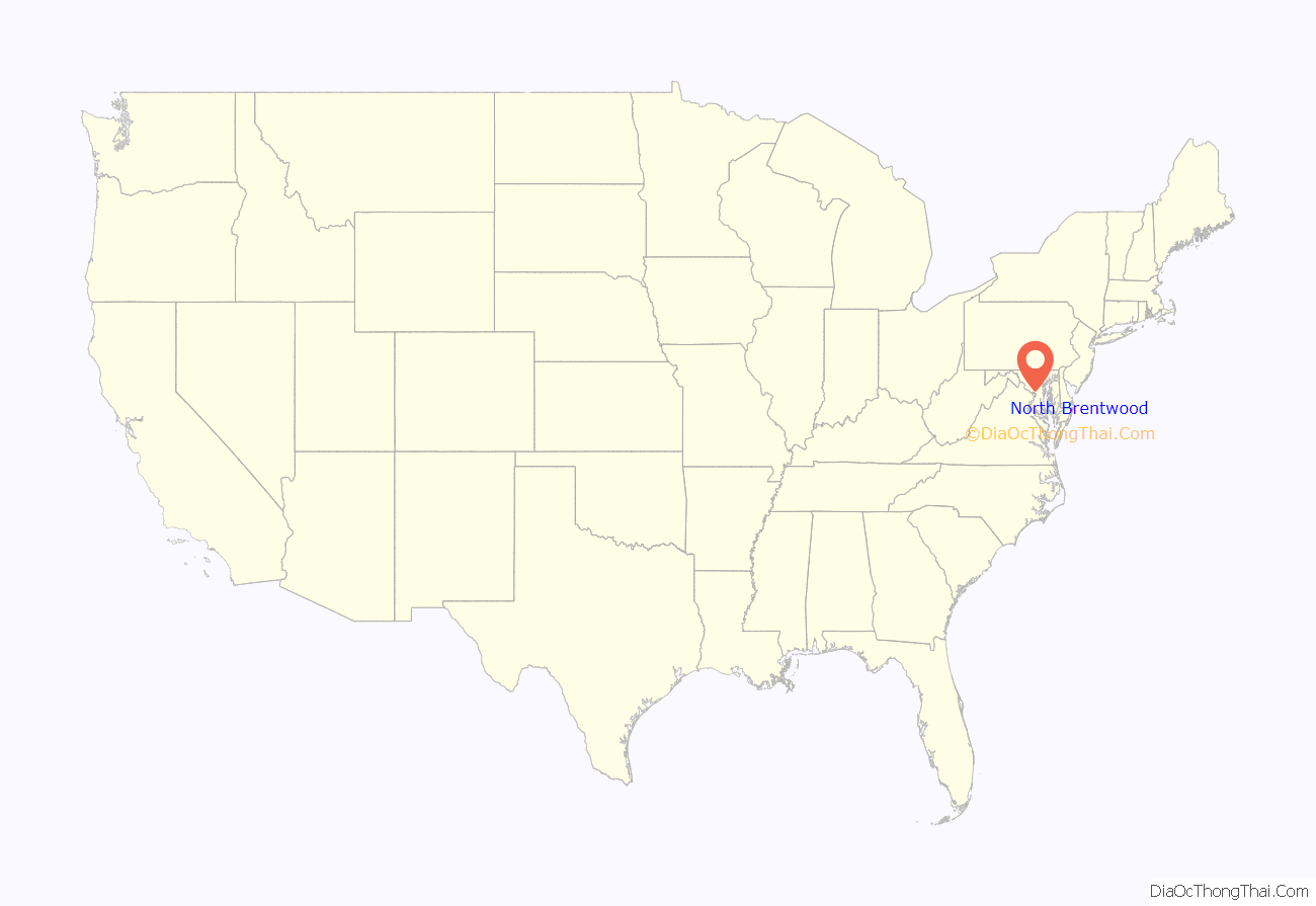
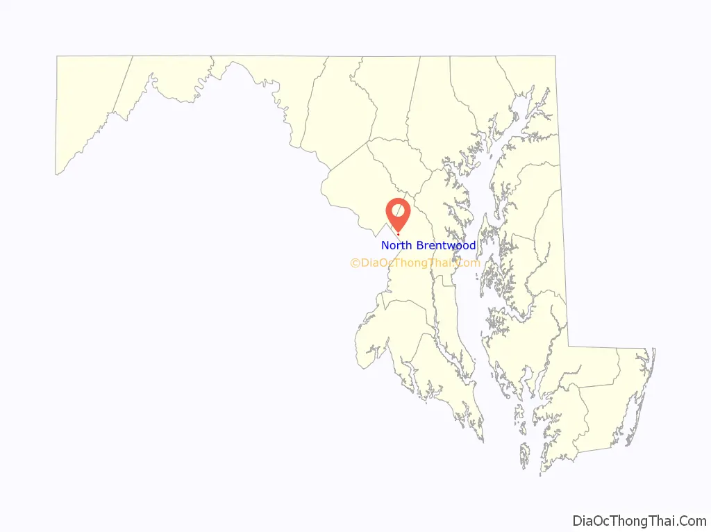
North Brentwood location map. Where is North Brentwood town?
History
19th century
The town is named after the Brentwood estate built in 1817 by Robert Brent in Northeast Washington, D.C. The town was originally settled by African-American veterans of the American Civil War, who purchased lots from their former commander, Capt. Wallace A. Bartlett, beginning in 1887.
The town was developed beginning in the 1890s around the Highland Station of the Washington Branch of the Baltimore and Ohio Railroad and the Columbia and Maryland Railway. “Brentwood” was created by Wallace A. Bartlett, a Civil War veteran, former foreman for the Government Printing Office, Patent Office examiner, and inventor originally from Warsaw, New York. Captain Bartlett lived in Washington, D.C., until 1887, when he purchased 206 acres (0.83 km) of farmland from Benjamin Holliday, which abutted the Highland subdivision. Bartlett built a farmhouse for his family on the land and, with two partners J. Lee Adams and Samuel J. Mills, formed the Holladay Land and Improvement Company.
In 1891, the Company platted a residential subdivision called “Holladay Company’s Addition to Highland” on 80 acres (320,000 m) of the Bartlett Farm. The lots were approximately 40 feet (12 m) by 100 feet (30 m) and were arranged around an irregular grid of streets. The lots in the northern part of the subdivision, which eventually would become North Brentwood, were smaller and were subject to flooding from a mill race. The first lots in the northern section were purchased in 1891 by Henry Randall, an African-American man from Anne Arundel County, who built a house on Holladay Avenue (now Rhode Island Avenue). In 1894, Randall’s son, Peter Randall, constructed a house next to his father’s. More family members moved into the community and built homes, and the area soon became known as Randallstown.
Other African-American families soon moved to the neighborhood, including the Plummer, Wallace, and Johnson families. They built two-story front-gable frame houses, as well as free-standing rowhouses. In 1898, the City and Suburban Railway was completed through Randallstown. By 1904 that name had been replaced by Brentwood. In the early 1900s, development was faster than in the southern areas also platted by Bartlett. A school and a church were built in 1904, and the Brentwood Colored Citizens Association was formed in 1907. The association helped acquire volunteers for a fire company, fire-fighting equipment, a community hall, and electric lights. After Bartlett’s neighboring development was incorporated as the town of Brentwood in 1922, Jeremiah Hawkins pushed for the incorporation of North Brentwood.
Incorporation
In April 1924, Delegate Charles B. Ager sponsored a bill to incorporate North Brentwood. The bill proposed a mayor, three council members, and a treasurer, all popularly elected. The bill passed the House of Delegates. The bill was put up to a vote of the proposed town’s residents on June 12, 1924, and it passed.
At the time of its incorporation, North Brentwood was the first municipality in Maryland, and possibly the United States, without any white voters.
First election
The town held its first election on July 7, 1924. Republican Jeremiah Hawkins ran unopposed for the town’s first mayor. Peter Randall and Frank Baden ran for Council member representing ward one. Horace Allen ran unopposed to represent ward two on the council. Julius Wheeler and Joseph L. Gordan ran for Council member representing ward three. Mahlia Brown and John Gilmore ran for treasurer. Hawkins, Randall, Allen, Wheeler, and Gilmore were elected.
Growth
The town continued to grow after incorporation. In September 1924, the town’s first school, a three-room schoolhouse, was built. During the 1930s and 1940s, new homes were built, mostly bungalows and brick Cape Cod houses. New streets were laid out, while the existing streets were paved, extended, and renamed.
Historic sites
The following is a list of historic sites in North Brentwood identified by the Maryland-National Capital Park and Planning Commission. Much of the community is located within the North Brentwood Historic District; listed on the National Register of Historic Places in 2003.
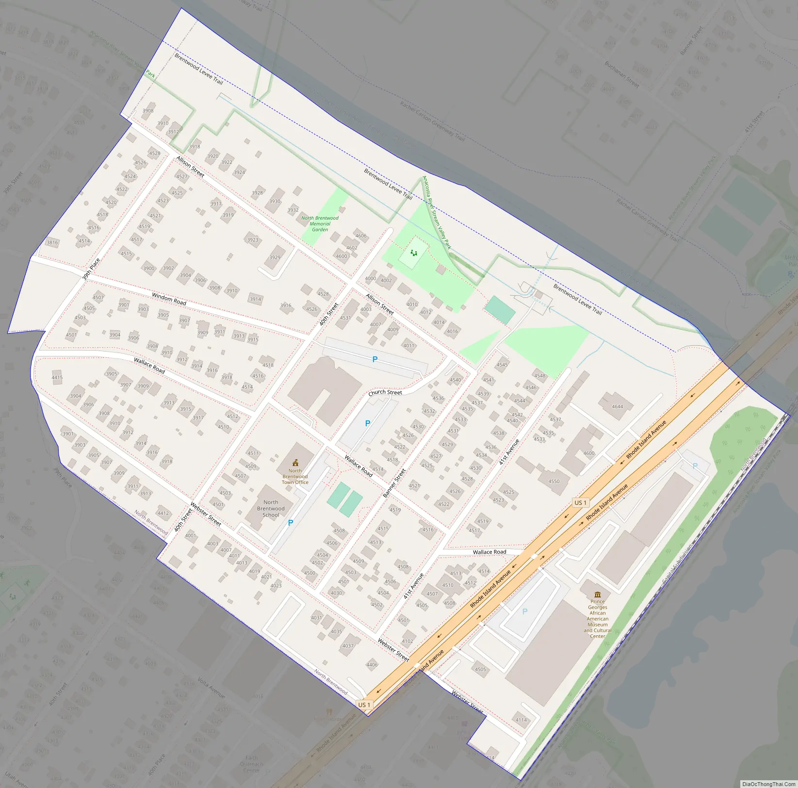
North Brentwood Road Map
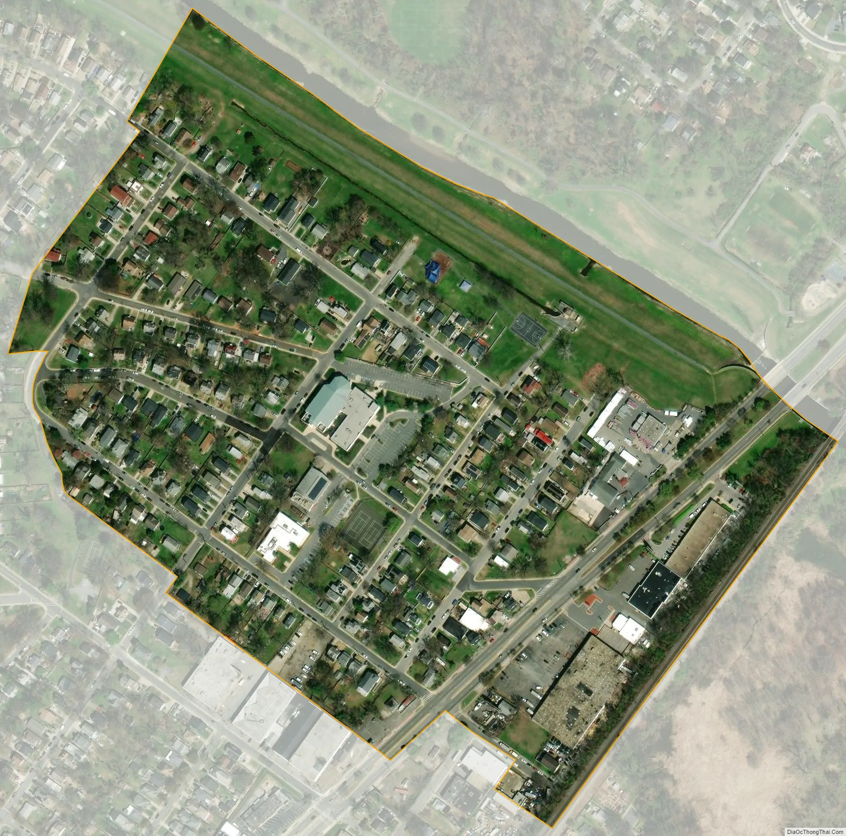
North Brentwood city Satellite Map
Geography
North Brentwood is located at 38°56′39″N 76°57′6″W / 38.94417°N 76.95167°W / 38.94417; -76.95167 (38.944111, -76.951650).
According to the United States Census Bureau, the town has a total area of 0.10 square miles (0.26 km), all land.
See also
Map of Maryland State and its subdivision: Map of other states:- Alabama
- Alaska
- Arizona
- Arkansas
- California
- Colorado
- Connecticut
- Delaware
- District of Columbia
- Florida
- Georgia
- Hawaii
- Idaho
- Illinois
- Indiana
- Iowa
- Kansas
- Kentucky
- Louisiana
- Maine
- Maryland
- Massachusetts
- Michigan
- Minnesota
- Mississippi
- Missouri
- Montana
- Nebraska
- Nevada
- New Hampshire
- New Jersey
- New Mexico
- New York
- North Carolina
- North Dakota
- Ohio
- Oklahoma
- Oregon
- Pennsylvania
- Rhode Island
- South Carolina
- South Dakota
- Tennessee
- Texas
- Utah
- Vermont
- Virginia
- Washington
- West Virginia
- Wisconsin
- Wyoming


