Parole, a suburb of Annapolis, is a census-designated place (CDP) in Anne Arundel County, Maryland, United States. The population was 15,922 at the 2010 census. It is where several major roads intersect at the western edge of the state capital, Annapolis, and contains the Annapolis Mall, and a number of other large shopping centers, and the Anne Arundel Medical Center. It is generally considered to be part of Annapolis rather than a separate town. The neighborhood was named because it was a parole camp, where Union and Confederate prisoners of war were brought for mutual exchange and eventual return to their respective homes.
| Name: | Parole CDP |
|---|---|
| LSAD Code: | 57 |
| LSAD Description: | CDP (suffix) |
| State: | Maryland |
| County: | Anne Arundel County |
| Elevation: | 69 ft (21 m) |
| Total Area: | 11.88 sq mi (30.77 km²) |
| Land Area: | 10.27 sq mi (26.60 km²) |
| Water Area: | 1.61 sq mi (4.18 km²) |
| Total Population: | 17,877 |
| Population Density: | 1,740.87/sq mi (672.14/km²) |
| FIPS code: | 2460325 |
| GNISfeature ID: | 0590979 |
Online Interactive Map
Click on ![]() to view map in "full screen" mode.
to view map in "full screen" mode.
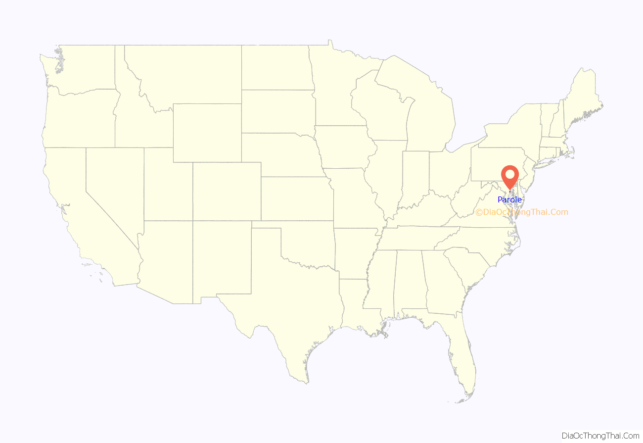
Parole location map. Where is Parole CDP?

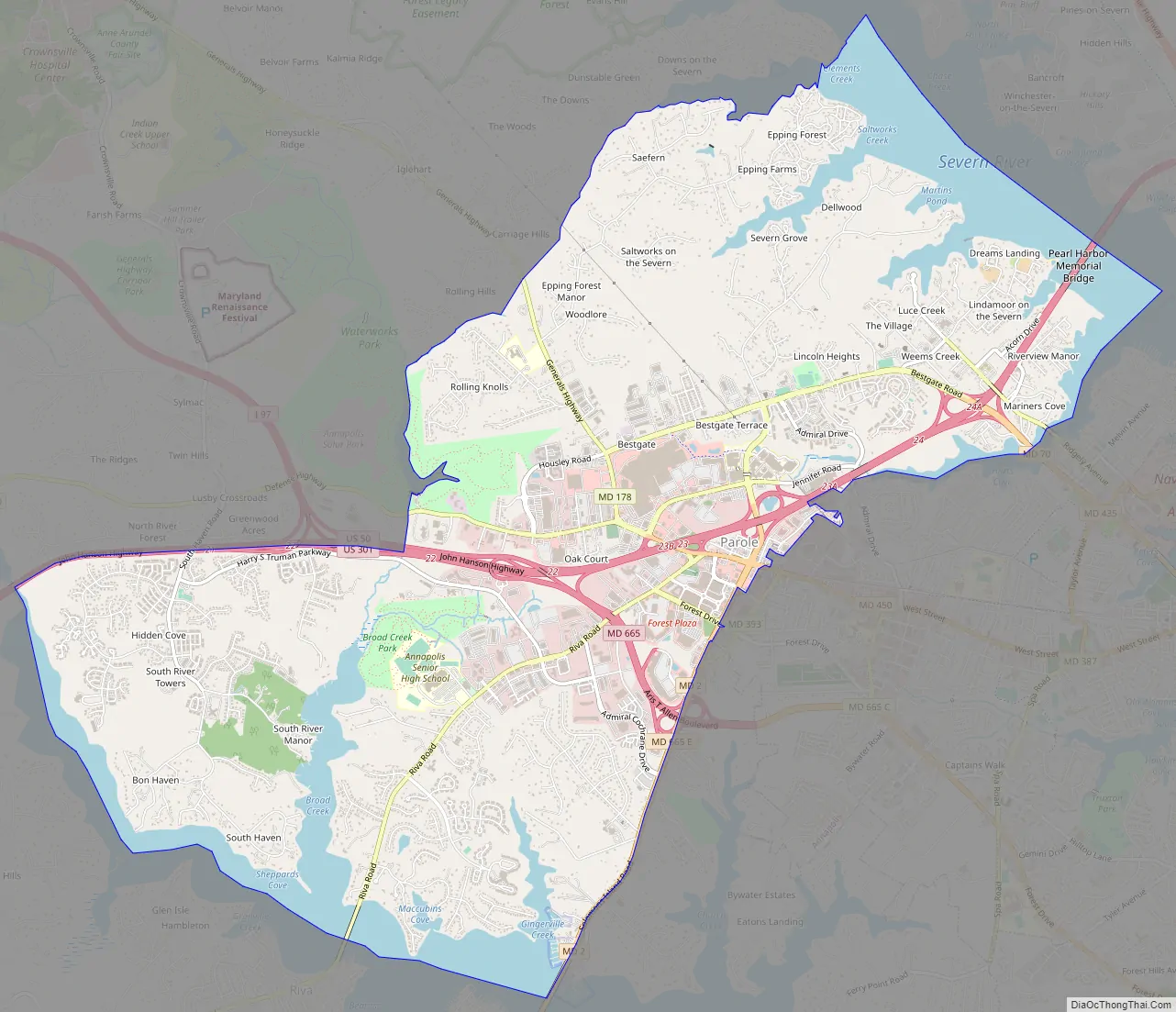
Parole Road Map
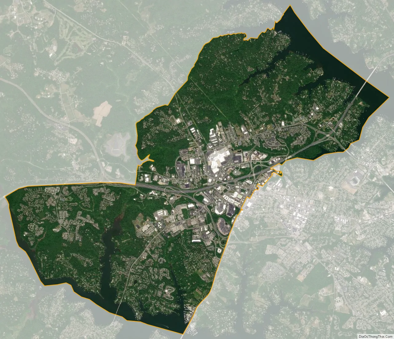
Parole city Satellite Map
Geography
Parole is located at 38°59′30″N 76°32′54″W / 38.99167°N 76.54833°W / 38.99167; -76.54833 (38.991657, −76.548450). It is bordered to the southeast by the city of Annapolis and by the CDP of Annapolis Neck. To the northeast is the Severn River, with the Arnold CDP on the other side. To the southwest is the South River, with the CDP of Riva on the other side.
U.S. Route 50 is a six-to-eight-lane expressway that runs through the community, leading west to Washington, D.C. and east to the Chesapeake Bay Bridge and Maryland’s Eastern Shore. The highway intersects Interstate 97, which leads north to Baltimore, along the northern edge of the CDP.
According to the United States Census Bureau, the CDP has a total area of 11.8 square miles (30.6 km), of which 10.3 square miles (26.6 km) is land and 1.5 square miles (4.0 km), or 13.20%, is water.
See also
Map of Maryland State and its subdivision: Map of other states:- Alabama
- Alaska
- Arizona
- Arkansas
- California
- Colorado
- Connecticut
- Delaware
- District of Columbia
- Florida
- Georgia
- Hawaii
- Idaho
- Illinois
- Indiana
- Iowa
- Kansas
- Kentucky
- Louisiana
- Maine
- Maryland
- Massachusetts
- Michigan
- Minnesota
- Mississippi
- Missouri
- Montana
- Nebraska
- Nevada
- New Hampshire
- New Jersey
- New Mexico
- New York
- North Carolina
- North Dakota
- Ohio
- Oklahoma
- Oregon
- Pennsylvania
- Rhode Island
- South Carolina
- South Dakota
- Tennessee
- Texas
- Utah
- Vermont
- Virginia
- Washington
- West Virginia
- Wisconsin
- Wyoming


