Potomac Heights is a census-designated place (CDP) in Charles County, Maryland, United States. The population was 1,117 at the 2010 census. It has a volunteer fire department and numerous older rambler homes built for workers at the nearby U.S. Navy munitions plant in Indian Head (now known as the Indian Head Naval Surface Warfare Center).
| Name: | Potomac Heights CDP |
|---|---|
| LSAD Code: | 57 |
| LSAD Description: | CDP (suffix) |
| State: | Maryland |
| County: | Charles County |
| Elevation: | 59 ft (18 m) |
| Total Area: | 1.32 sq mi (3.42 km²) |
| Land Area: | 1.07 sq mi (2.78 km²) |
| Water Area: | 0.25 sq mi (0.64 km²) |
| Total Population: | 1,036 |
| Population Density: | 965.52/sq mi (372.73/km²) |
| FIPS code: | 2463375 |
| GNISfeature ID: | 0591058 |
| Website: | www.potomacheightshoa.com |
Online Interactive Map
Click on ![]() to view map in "full screen" mode.
to view map in "full screen" mode.
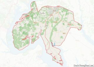
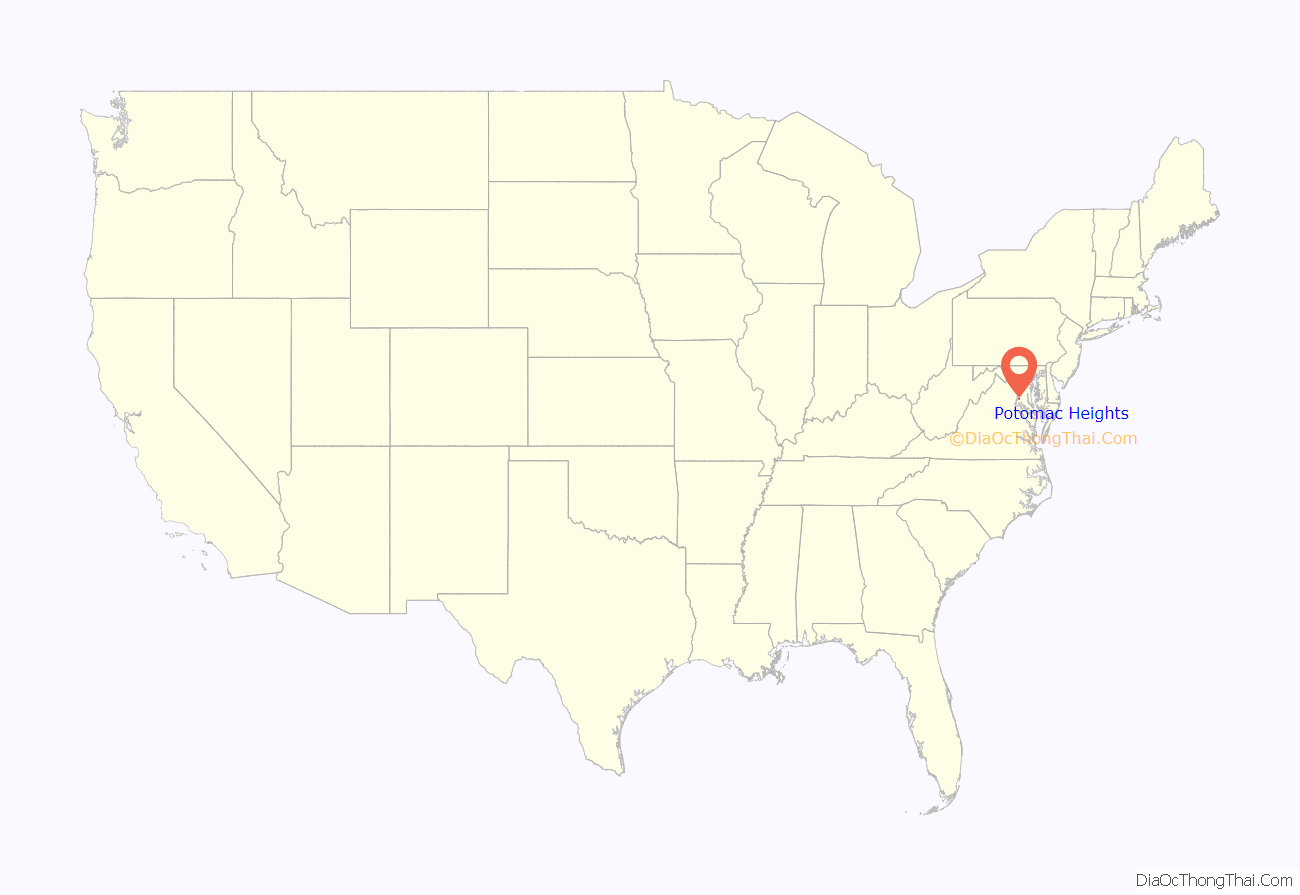
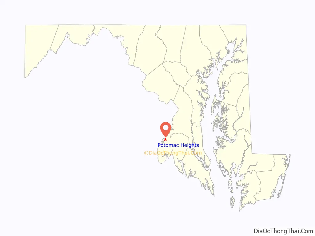
Potomac Heights location map. Where is Potomac Heights CDP?
History
In 1947, the residents of Potomac Heights formed a co-operative and purchased the entire community from the previous owners (the US government). It was built in 1940–1943 to provide housing for defense workers. Today, to obtain the right to occupy one of the co-op residences, one must first apply for and be accepted for membership in the co-operative. To gain acceptance one must meet the criteria established by voting members of the co-op.
Potomac Heights is one of many housing co-operatives in the Washington, D.C. metropolitan area, three of which were converted from government sponsored housing. The largest co-operative, Greenbelt, located in adjoining Prince George’s County, evolved from one of three planned communities (Greendale, Wisconsin, and Greenhills, Ohio) and developed as a federally supervised experiment in cooperative living under the New Deal during the Roosevelt administration. Hillwood Square Mutual in Falls Church, Virginia, was built to house workers at the Torpedo Factory in Alexandria.
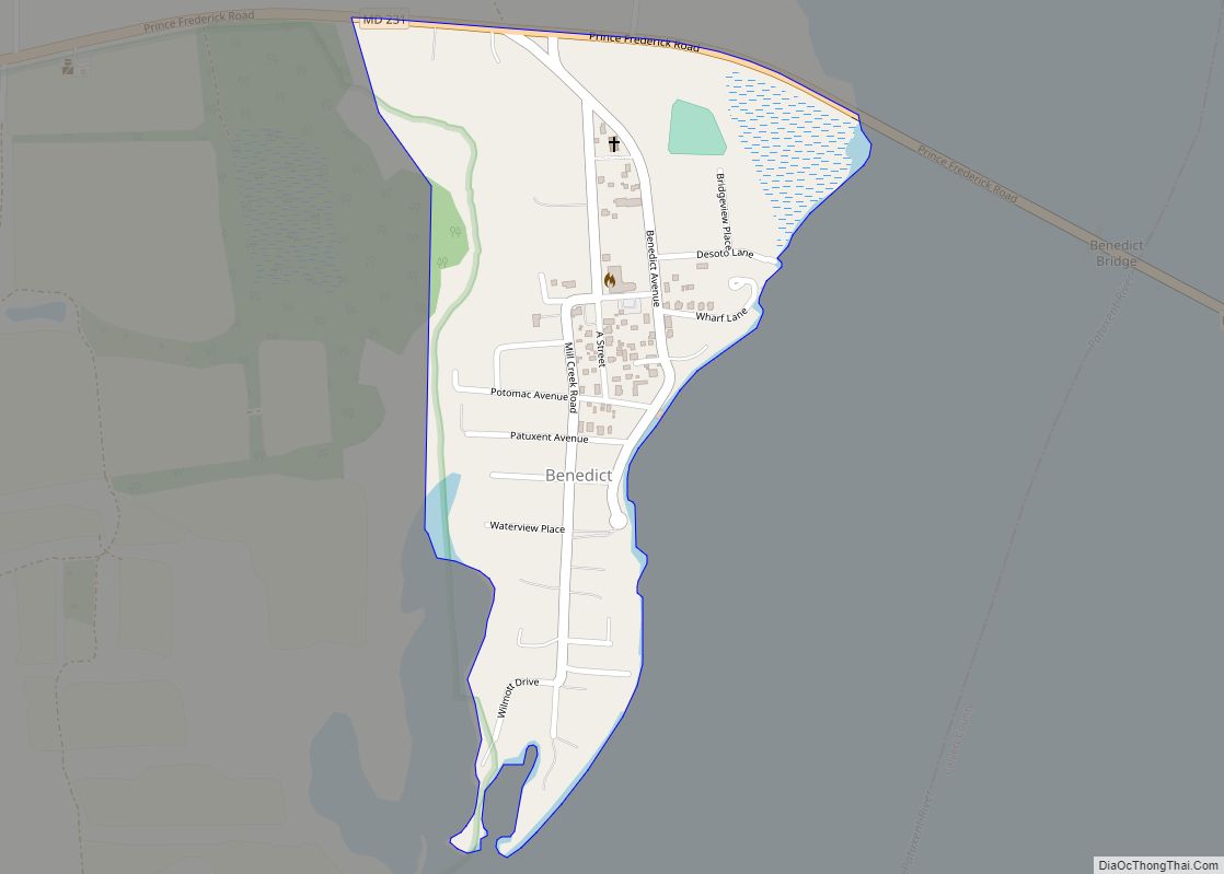
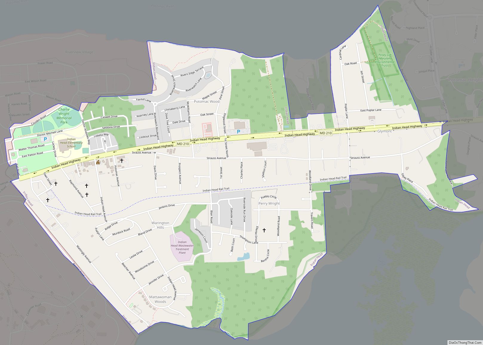
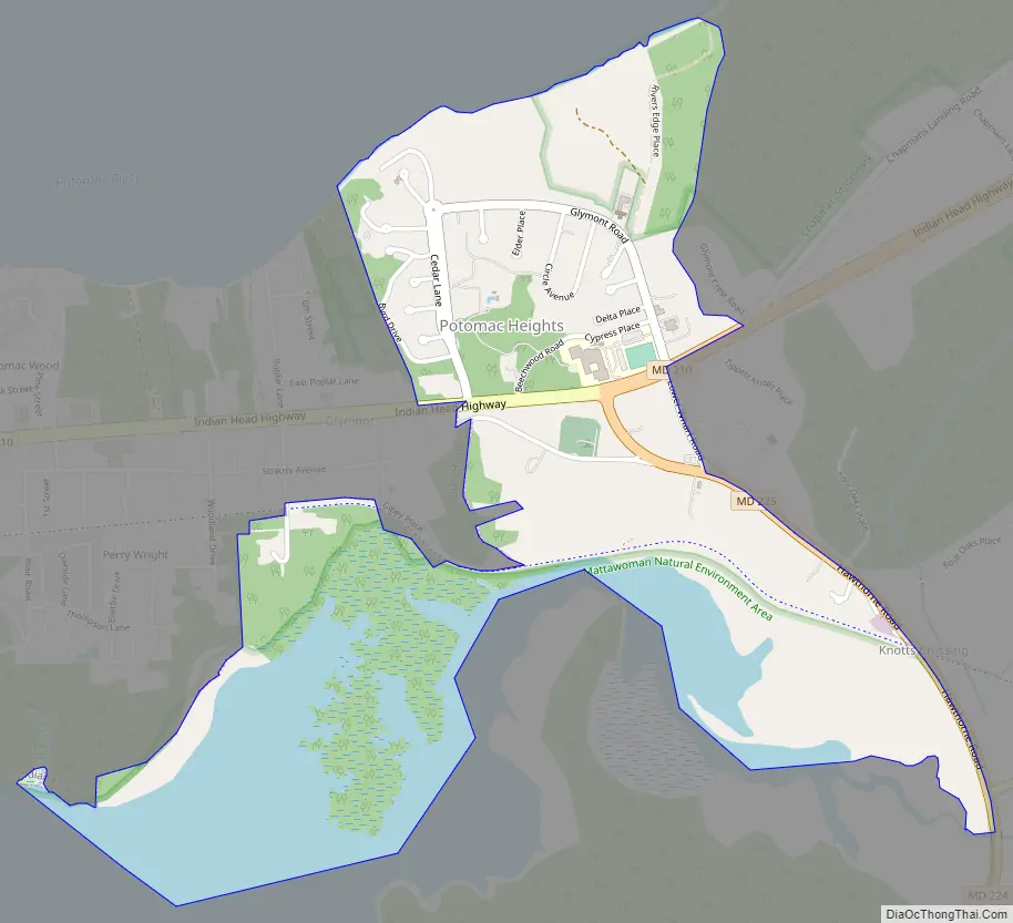
Potomac Heights Road Map
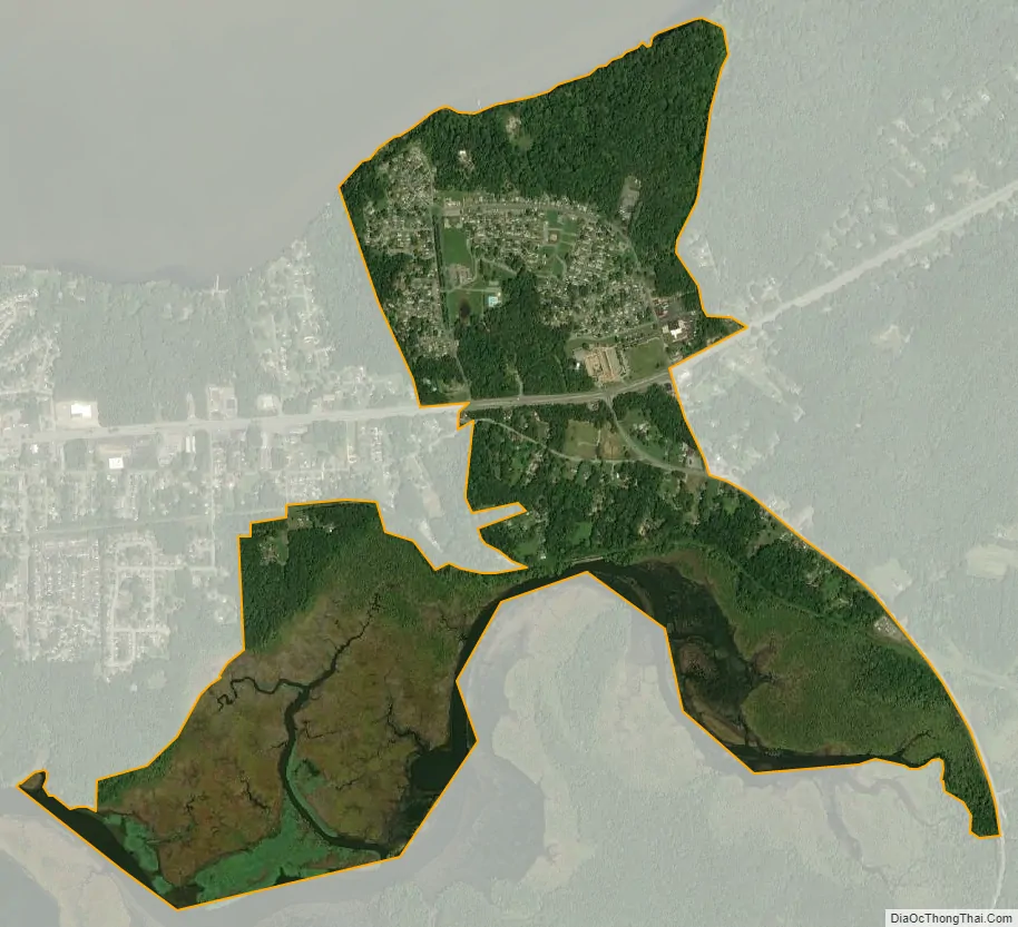
Potomac Heights city Satellite Map
Geography
Potomac Heights is located at 38°36′5″N 77°7′56″W / 38.60139°N 77.13222°W / 38.60139; -77.13222 (38.601268, −77.132316).
According to the United States Census Bureau, the CDP has a total area of 1.3 square miles (3.4 km), of which 1.1 square miles (2.8 km) is land and 0.2 square miles (0.52 km), or 15.04%, is water.
See also
Map of Maryland State and its subdivision: Map of other states:- Alabama
- Alaska
- Arizona
- Arkansas
- California
- Colorado
- Connecticut
- Delaware
- District of Columbia
- Florida
- Georgia
- Hawaii
- Idaho
- Illinois
- Indiana
- Iowa
- Kansas
- Kentucky
- Louisiana
- Maine
- Maryland
- Massachusetts
- Michigan
- Minnesota
- Mississippi
- Missouri
- Montana
- Nebraska
- Nevada
- New Hampshire
- New Jersey
- New Mexico
- New York
- North Carolina
- North Dakota
- Ohio
- Oklahoma
- Oregon
- Pennsylvania
- Rhode Island
- South Carolina
- South Dakota
- Tennessee
- Texas
- Utah
- Vermont
- Virginia
- Washington
- West Virginia
- Wisconsin
- Wyoming