Greenhills is a village in Hamilton County, Ohio, United States. The population was 3,741 at the 2020 census. A planned community, it was established by the United States government during the Great Depression. Most of the village is a National Historic Landmark for its history as a planned modernist community.
| Name: | Greenhills village |
|---|---|
| LSAD Code: | 47 |
| LSAD Description: | village (suffix) |
| State: | Ohio |
| County: | Hamilton County |
| Elevation: | 804 ft (245 m) |
| Total Area: | 1.24 sq mi (3.22 km²) |
| Land Area: | 1.24 sq mi (3.22 km²) |
| Water Area: | 0.00 sq mi (0.00 km²) |
| Total Population: | 3,741 |
| Population Density: | 3,007.23/sq mi (1,160.88/km²) |
| ZIP code: | 45218 |
| Area code: | 513 |
| FIPS code: | 3932158 |
| GNISfeature ID: | 1064757 |
| Website: | www.greenhillsohio.us |
Online Interactive Map
Click on ![]() to view map in "full screen" mode.
to view map in "full screen" mode.
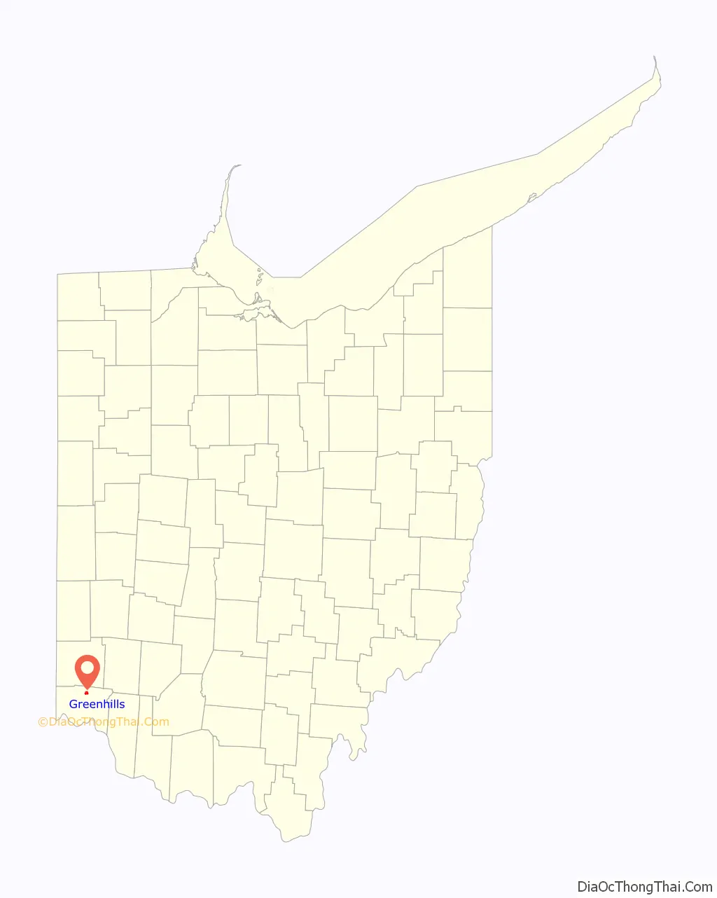
Greenhills location map. Where is Greenhills village?

History
As one of three Greenbelt Communities built by the Resettlement Administration during the 1930s (the other two are Greenbelt, Maryland and Greendale, Wisconsin), Greenhills was designed to be surrounded by a “belt” of woodland and natural landscaping. Like the other six “FDR towns”, Greenhills was founded as a sundown town, using restrictive covenants to prevent minorities from purchasing homes there. Many families include third- and fourth-generation descendants of the village’s original “pioneers” who occupied the original International-style townhomes. The original government-built area, the Greenhills Historic District, is listed on the National Register of Historic Places and is a National Historic Landmark. The community’s James Whallon House, which serves as the village hall is also listed in the National Register of Historic Places. The landmarked area encompasses about three quarters of the area within the village bounds, excepting only the northeastern section northeast of Farragut and Ingram Roads.
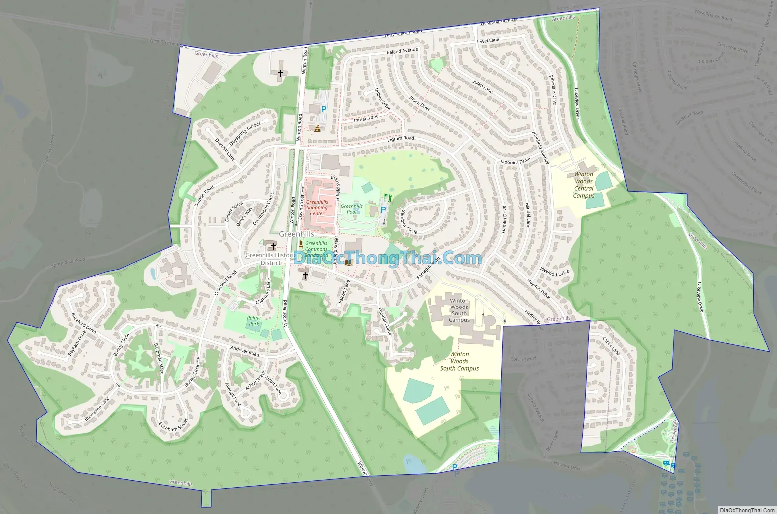
Greenhills Road Map
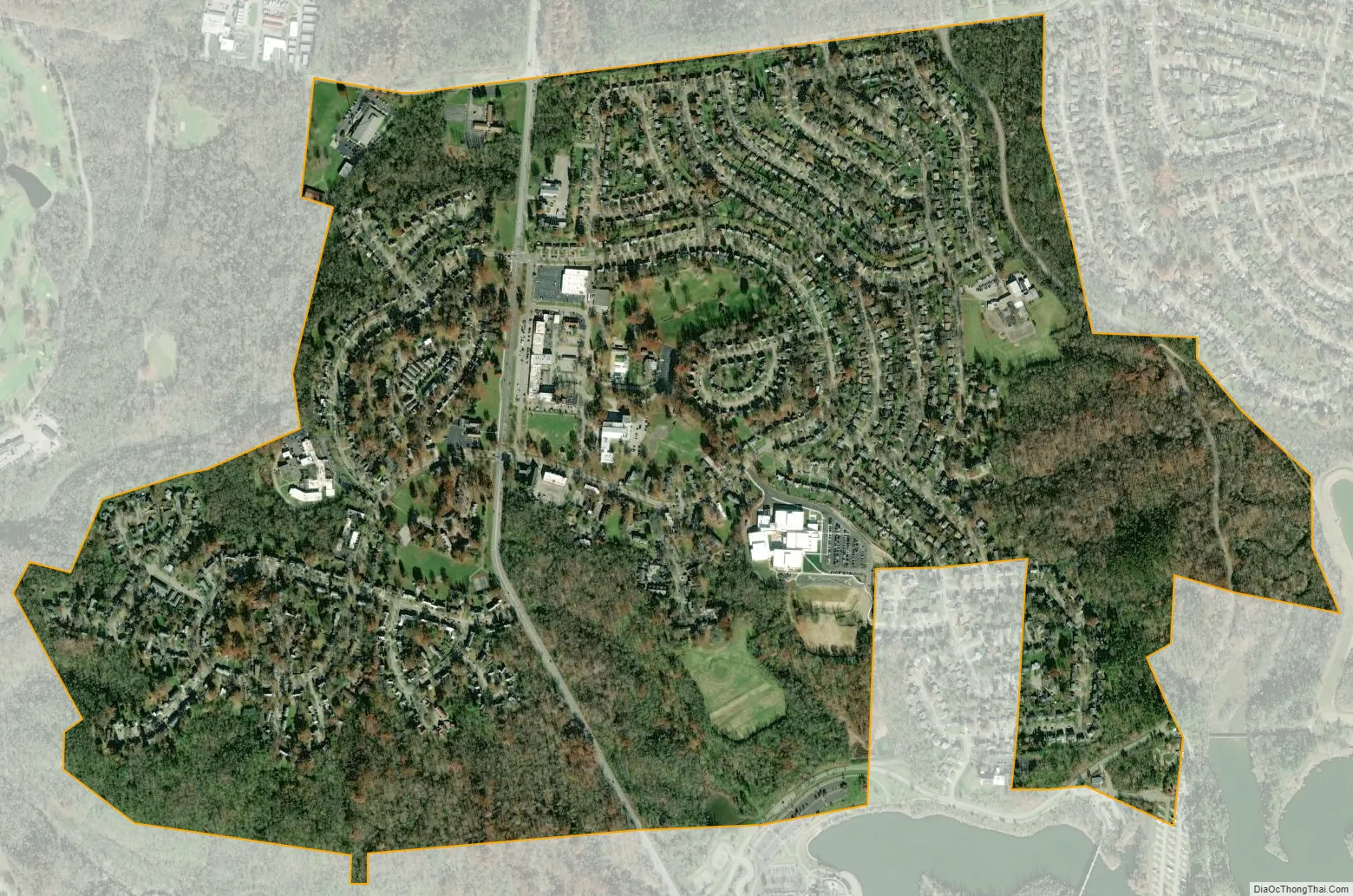
Greenhills city Satellite Map
Geography
Greenhills is located at 39°16′7″N 84°31′2″W / 39.26861°N 84.51722°W / 39.26861; -84.51722 (39.268608, -84.517284).
According to the United States Census Bureau, the village has a total area of 1.25 square miles (3.24 km), all land.
See also
Map of Ohio State and its subdivision:- Adams
- Allen
- Ashland
- Ashtabula
- Athens
- Auglaize
- Belmont
- Brown
- Butler
- Carroll
- Champaign
- Clark
- Clermont
- Clinton
- Columbiana
- Coshocton
- Crawford
- Cuyahoga
- Darke
- Defiance
- Delaware
- Erie
- Fairfield
- Fayette
- Franklin
- Fulton
- Gallia
- Geauga
- Greene
- Guernsey
- Hamilton
- Hancock
- Hardin
- Harrison
- Henry
- Highland
- Hocking
- Holmes
- Huron
- Jackson
- Jefferson
- Knox
- Lake
- Lake Erie
- Lawrence
- Licking
- Logan
- Lorain
- Lucas
- Madison
- Mahoning
- Marion
- Medina
- Meigs
- Mercer
- Miami
- Monroe
- Montgomery
- Morgan
- Morrow
- Muskingum
- Noble
- Ottawa
- Paulding
- Perry
- Pickaway
- Pike
- Portage
- Preble
- Putnam
- Richland
- Ross
- Sandusky
- Scioto
- Seneca
- Shelby
- Stark
- Summit
- Trumbull
- Tuscarawas
- Union
- Van Wert
- Vinton
- Warren
- Washington
- Wayne
- Williams
- Wood
- Wyandot
- Alabama
- Alaska
- Arizona
- Arkansas
- California
- Colorado
- Connecticut
- Delaware
- District of Columbia
- Florida
- Georgia
- Hawaii
- Idaho
- Illinois
- Indiana
- Iowa
- Kansas
- Kentucky
- Louisiana
- Maine
- Maryland
- Massachusetts
- Michigan
- Minnesota
- Mississippi
- Missouri
- Montana
- Nebraska
- Nevada
- New Hampshire
- New Jersey
- New Mexico
- New York
- North Carolina
- North Dakota
- Ohio
- Oklahoma
- Oregon
- Pennsylvania
- Rhode Island
- South Carolina
- South Dakota
- Tennessee
- Texas
- Utah
- Vermont
- Virginia
- Washington
- West Virginia
- Wisconsin
- Wyoming


