Severn is a census-designated place (CDP) in Anne Arundel County, Maryland, United States. According to the 2020 U.S. census, the population of Severn is 57,118, a 22.6% increase from 44,231 in 2010. The zip code is 21144.
| Name: | Severn CDP |
|---|---|
| LSAD Code: | 57 |
| LSAD Description: | CDP (suffix) |
| State: | Maryland |
| County: | Anne Arundel County |
| Elevation: | 161 ft (49 m) |
| Total Area: | 18.34 sq mi (47.50 km²) |
| Land Area: | 18.34 sq mi (47.50 km²) |
| Water Area: | 0.00 sq mi (0.00 km²) |
| Total Population: | 57,118 |
| Population Density: | 3,114.39/sq mi (1,202.48/km²) |
| ZIP code: | 21144 |
| Area code: | 410, 443, and 667 |
| FIPS code: | 2471150 |
| GNISfeature ID: | 0591249 |
Online Interactive Map
Click on ![]() to view map in "full screen" mode.
to view map in "full screen" mode.
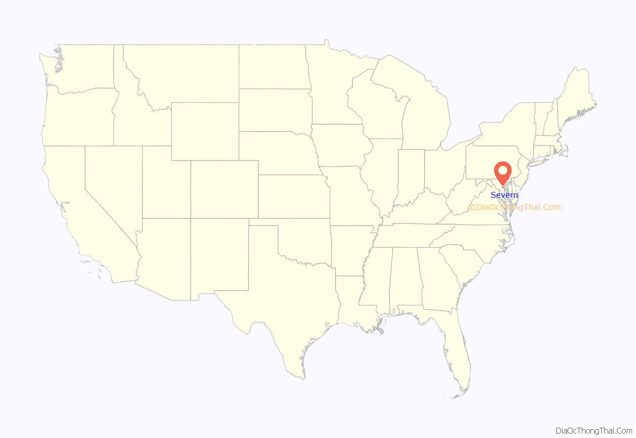
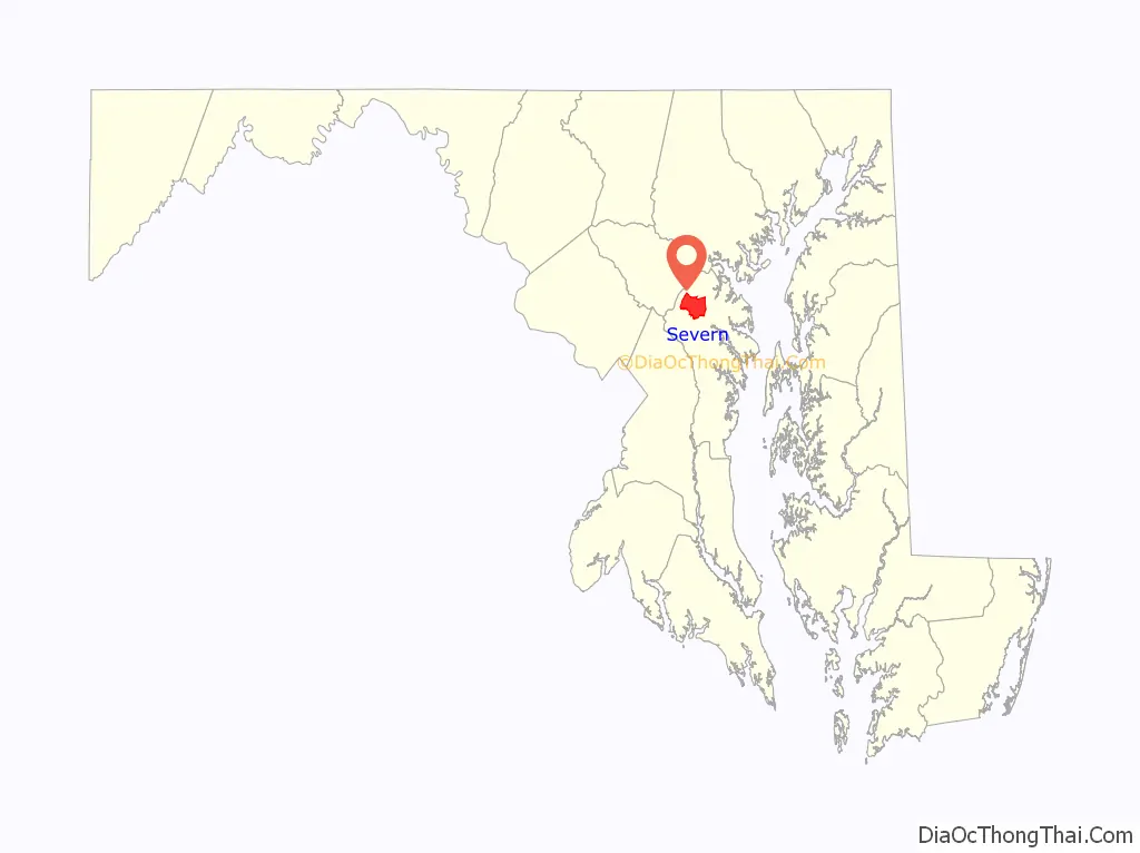
Severn location map. Where is Severn CDP?
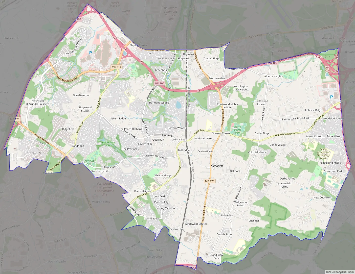
Severn Road Map
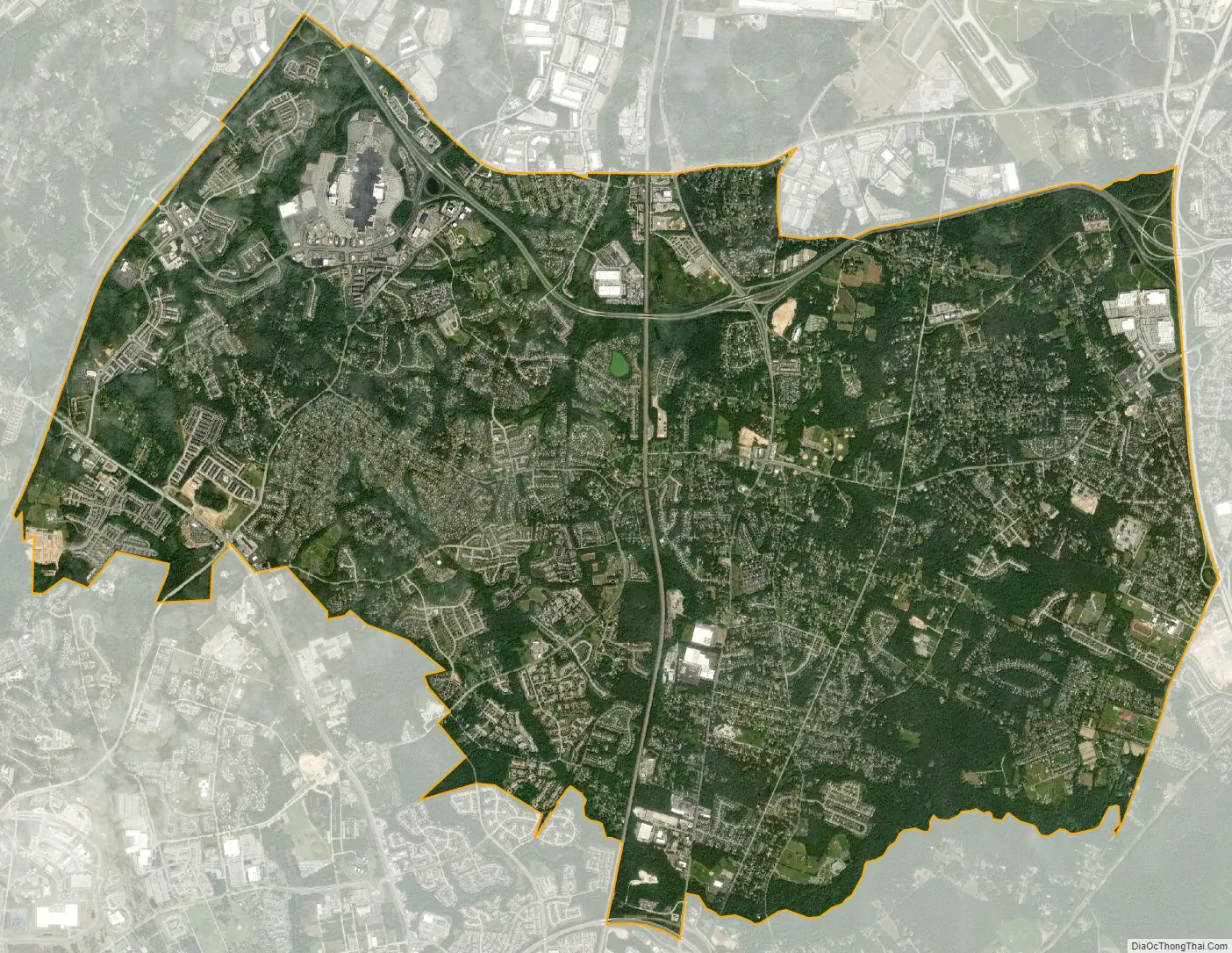
Severn city Satellite Map
Geography
Severn is located at 39°7′58″N 76°41′38″W / 39.13278°N 76.69389°W / 39.13278; -76.69389 (39.132841, −76.694002) in northwestern Anne Arundel County. It is bordered by Hanover to the north, Glen Burnie to the east, Odenton and Millersville to the south, and Fort George G. Meade to the west. The Baltimore–Washington Parkway (Maryland Route 295) forms the northwestern edge of the CDP, Maryland Route 176 (Dorsey Road) forms the northern edge, and Interstate 97 forms the eastern edge. Part of the southern boundary of the CDP is formed by the non-tidal portion of the Severn River. The Maryland Route 100 freeway runs through the northern part of the CDP, connecting the B-W Parkway and I-97.
According to the United States Census Bureau, the CDP has a total area of 17.7 square miles (45.9 km), all of it land.
Climate
See also
Map of Maryland State and its subdivision: Map of other states:- Alabama
- Alaska
- Arizona
- Arkansas
- California
- Colorado
- Connecticut
- Delaware
- District of Columbia
- Florida
- Georgia
- Hawaii
- Idaho
- Illinois
- Indiana
- Iowa
- Kansas
- Kentucky
- Louisiana
- Maine
- Maryland
- Massachusetts
- Michigan
- Minnesota
- Mississippi
- Missouri
- Montana
- Nebraska
- Nevada
- New Hampshire
- New Jersey
- New Mexico
- New York
- North Carolina
- North Dakota
- Ohio
- Oklahoma
- Oregon
- Pennsylvania
- Rhode Island
- South Carolina
- South Dakota
- Tennessee
- Texas
- Utah
- Vermont
- Virginia
- Washington
- West Virginia
- Wisconsin
- Wyoming


