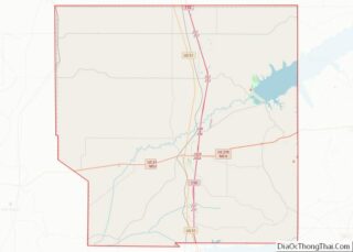
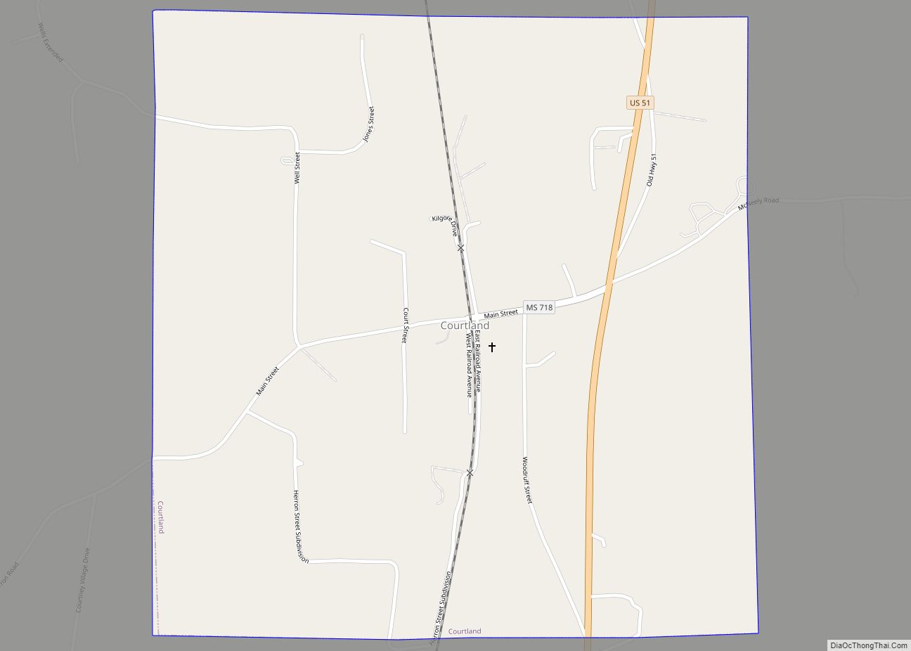
Courtland is a town in Panola County, Mississippi. The population was 511 at the time of the 2010 census.
| Name: | Courtland town |
|---|---|
| LSAD Code: | 43 |
| LSAD Description: | town (suffix) |
| State: | Mississippi |
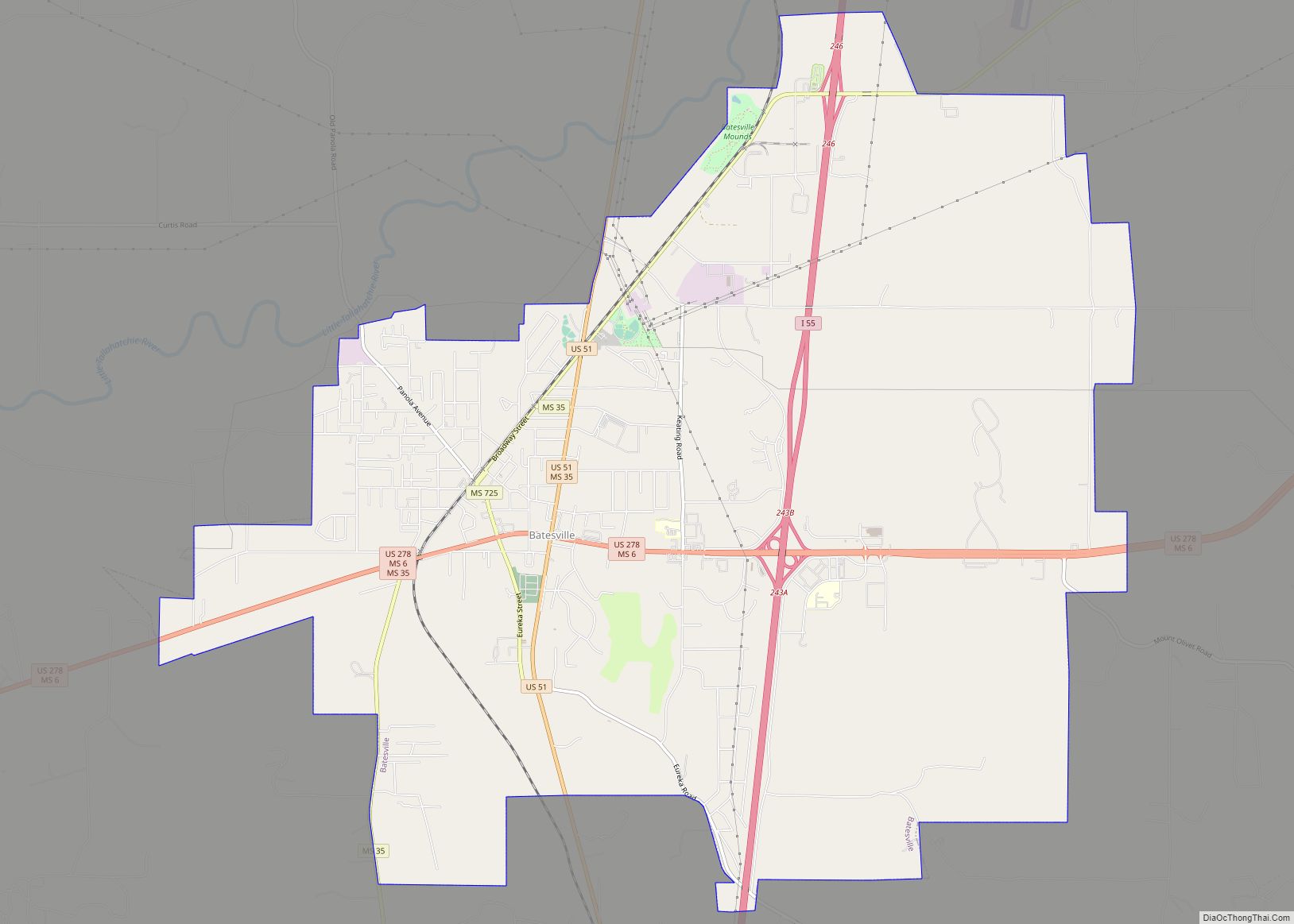
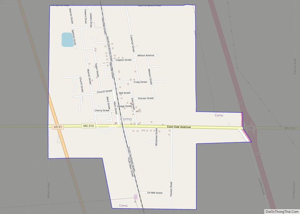
| County: | Panola County |
| Elevation: | 253 ft (77 m) |
| Total Area: | 1.10 sq mi (2.86 km²) |
| Land Area: | 1.10 sq mi (2.86 km²) |
| Water Area: | 0.00 sq mi (0.00 km²) |
| Total Population: | 470 |
| Population Density: | 426.11/sq mi (164.46/km²) |
| ZIP code: | 38620 |
| Area code: | 662 |
| FIPS code: | 2815980 |
| GNISfeature ID: | 0668883 |
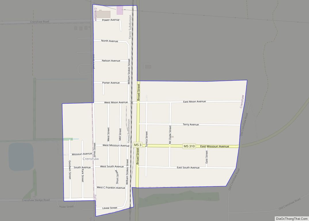
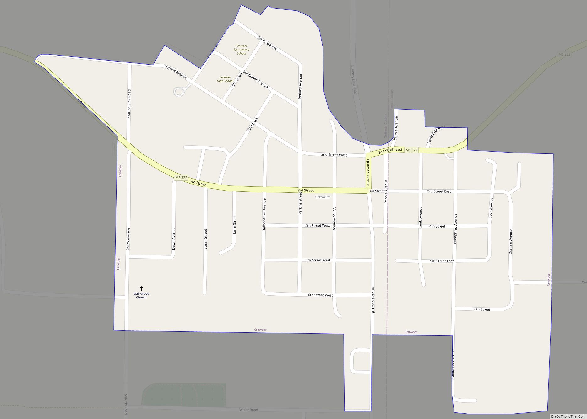
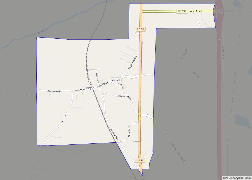
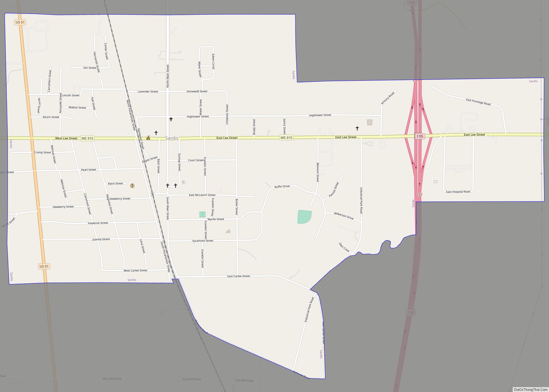
Online Interactive Map
Click on ![]() to view map in "full screen" mode.
to view map in "full screen" mode.
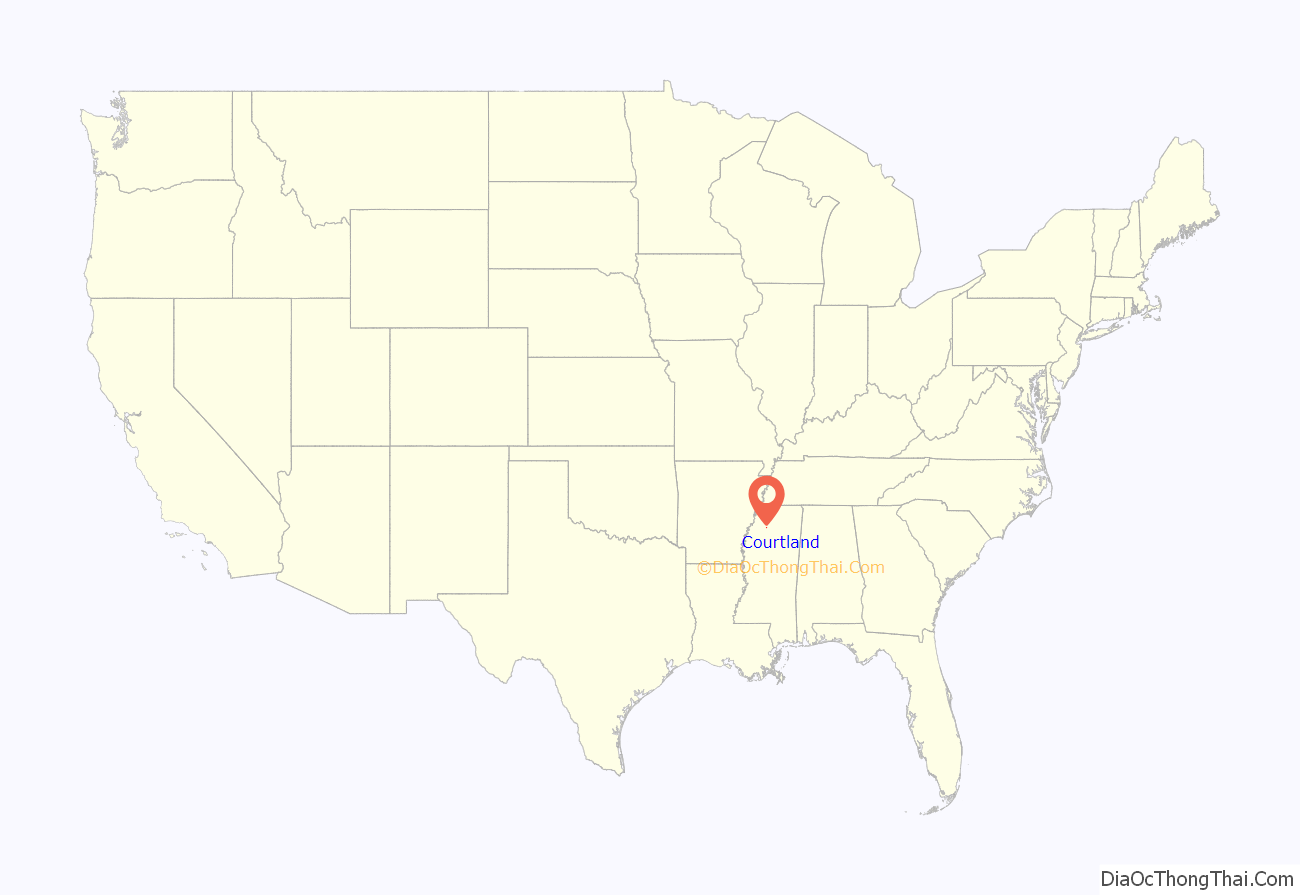
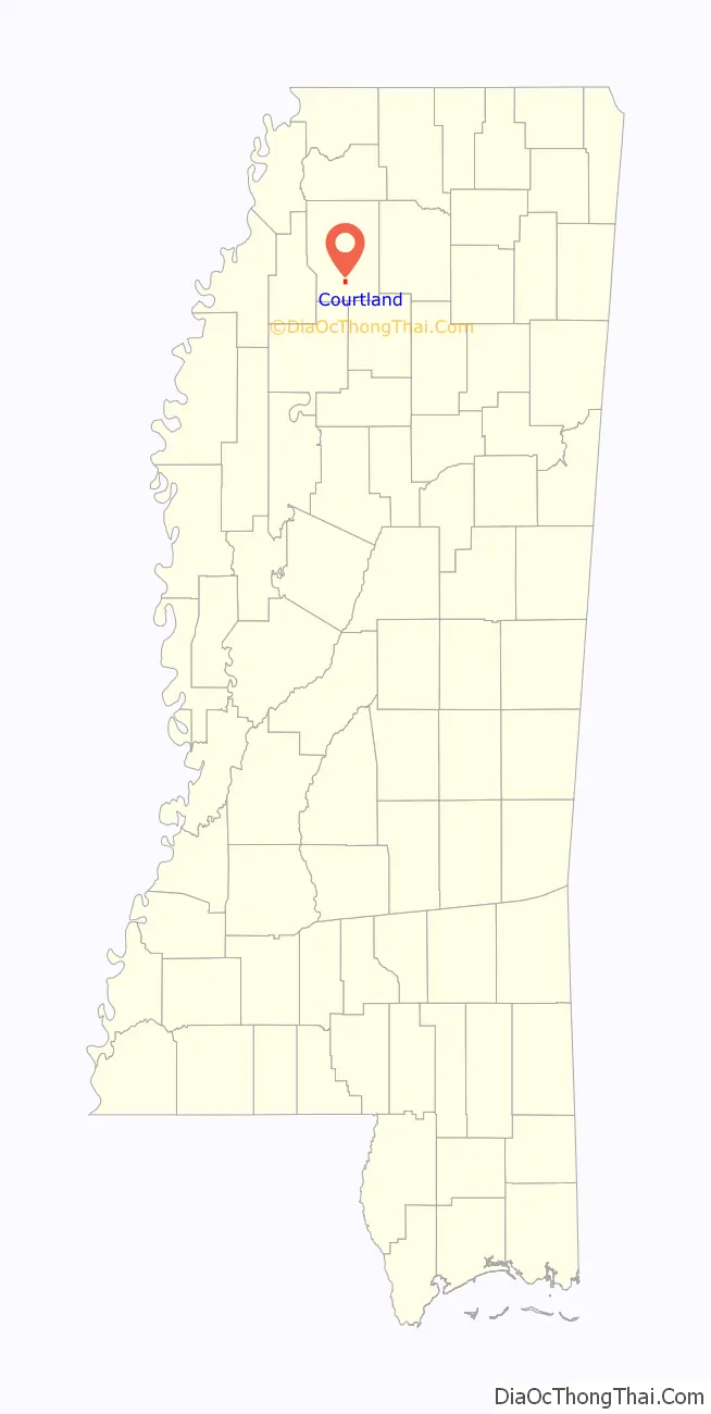
Courtland location map. Where is Courtland town?
History
Courtland, Mississippi was incorporated as a town on March 30, 1871. On July 17, 1946, acting Governor Fielding L. Wright issued a proclamation abolishing the town as it had not held a municipal election in over two years. On July 18, the area was reorganized into a village.
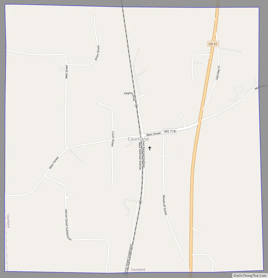
Courtland Road Map
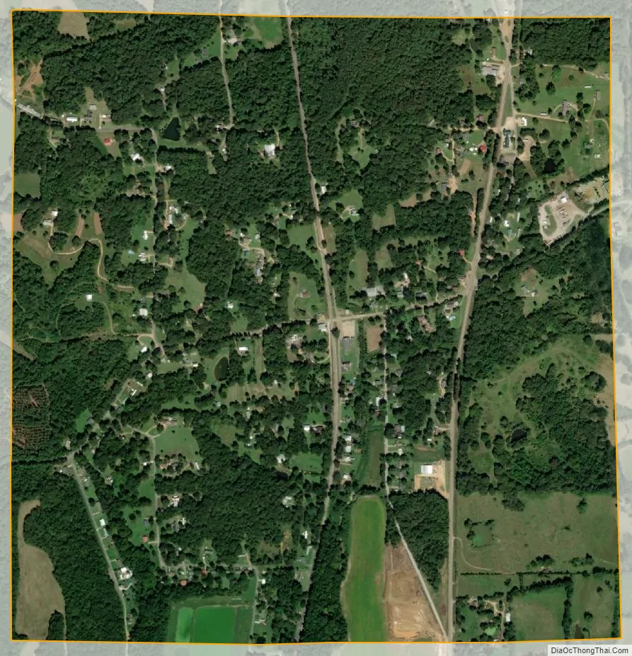
Courtland city Satellite Map
Geography
Courtland is located at 34°14′21″N 89°56′34″W / 34.23917°N 89.94278°W / 34.23917; -89.94278 (34.239122, -89.942670).
According to the United States Census Bureau, the town has a total area of 1.1 square miles (2.8 km), all land.
See also
Map of Mississippi State and its subdivision:- Adams
- Alcorn
- Amite
- Attala
- Benton
- Bolivar
- Calhoun
- Carroll
- Chickasaw
- Choctaw
- Claiborne
- Clarke
- Clay
- Coahoma
- Copiah
- Covington
- Desoto
- Forrest
- Franklin
- George
- Greene
- Grenada
- Hancock
- Harrison
- Hinds
- Holmes
- Humphreys
- Issaquena
- Itawamba
- Jackson
- Jasper
- Jefferson
- Jefferson Davis
- Jones
- Kemper
- Lafayette
- Lamar
- Lauderdale
- Lawrence
- Leake
- Lee
- Leflore
- Lincoln
- Lowndes
- Madison
- Marion
- Marshall
- Monroe
- Montgomery
- Neshoba
- Newton
- Noxubee
- Oktibbeha
- Panola
- Pearl River
- Perry
- Pike
- Pontotoc
- Prentiss
- Quitman
- Rankin
- Scott
- Sharkey
- Simpson
- Smith
- Stone
- Sunflower
- Tallahatchie
- Tate
- Tippah
- Tishomingo
- Tunica
- Union
- Walthall
- Warren
- Washington
- Wayne
- Webster
- Wilkinson
- Winston
- Yalobusha
- Yazoo
- Alabama
- Alaska
- Arizona
- Arkansas
- California
- Colorado
- Connecticut
- Delaware
- District of Columbia
- Florida
- Georgia
- Hawaii
- Idaho
- Illinois
- Indiana
- Iowa
- Kansas
- Kentucky
- Louisiana
- Maine
- Maryland
- Massachusetts
- Michigan
- Minnesota
- Mississippi
- Missouri
- Montana
- Nebraska
- Nevada
- New Hampshire
- New Jersey
- New Mexico
- New York
- North Carolina
- North Dakota
- Ohio
- Oklahoma
- Oregon
- Pennsylvania
- Rhode Island
- South Carolina
- South Dakota
- Tennessee
- Texas
- Utah
- Vermont
- Virginia
- Washington
- West Virginia
- Wisconsin
- Wyoming