Fayette is a city in Jefferson County, Mississippi, United States. The population was 1,614 at the 2010 census. It is the county seat of Jefferson County.
| Name: | Fayette city |
|---|---|
| LSAD Code: | 25 |
| LSAD Description: | city (suffix) |
| State: | Mississippi |
| County: | Jefferson County |
| Elevation: | 282 ft (86 m) |
| Total Area: | 1.18 sq mi (3.04 km²) |
| Land Area: | 1.18 sq mi (3.04 km²) |
| Water Area: | 0.00 sq mi (0.00 km²) |
| Total Population: | 1,445 |
| Population Density: | 1,228.74/sq mi (474.56/km²) |
| ZIP code: | 39069, 39081 |
| Area code: | 601 |
| FIPS code: | 2824500 |
| GNISfeature ID: | 0669927 |
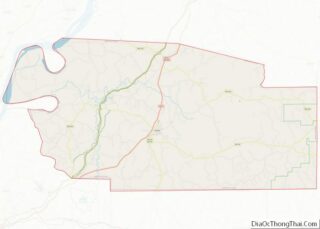
Online Interactive Map
Click on ![]() to view map in "full screen" mode.
to view map in "full screen" mode.
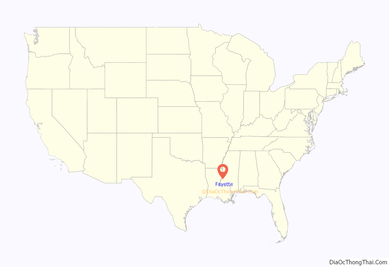
Fayette location map. Where is Fayette city?
History
In 1879, the Jesse James gang, based in Missouri, raided southwest Mississippi, robbing a store each in Washington and Fayette. The outlaws absconded with $2,000 cash in the second robbery and took shelter in abandoned cabins on the Kemp Plantation south of St. Joseph, Louisiana. A posse attacked and killed two of the outlaws but failed to capture the entire gang. Jesse James and most of his gang succeeded in returning to Missouri. He was killed three years later in 1882 at his home in St. Joseph, Missouri.
In 1890, the white Democrat-controlled Mississippi legislature passed a new constitution, which effectively disenfranchised most black people in the state, crippling their integration into society and the Republican Party of the time.
After Congressional passage of the Voting Rights Act of 1965, black people began to register and vote again. Charles Evers was elected as mayor in 1969 by the people of Fayette; he was the first African-American mayor elected in post-Reconstruction Mississippi. He beat the white incumbent R.G. Allen, 386 votes –225 votes. Evers was an activist and the brother of slain civil rights leader Medgar Evers, head of the Mississippi chapter of the NAACP when he was assassinated in 1963.
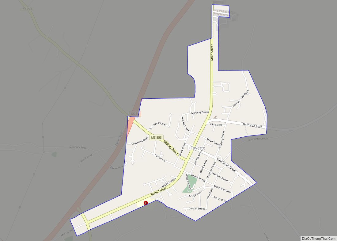
Fayette Road Map
Fayette city Satellite Map
Geography
Fayette is located at 31°42′40″N 91°3′44″W / 31.71111°N 91.06222°W / 31.71111; -91.06222 (31.711144, -91.062246).
According to the United States Census Bureau, the city has a total area of 1.2 square miles (3.1 km), all land.
See also
Map of Mississippi State and its subdivision:- Adams
- Alcorn
- Amite
- Attala
- Benton
- Bolivar
- Calhoun
- Carroll
- Chickasaw
- Choctaw
- Claiborne
- Clarke
- Clay
- Coahoma
- Copiah
- Covington
- Desoto
- Forrest
- Franklin
- George
- Greene
- Grenada
- Hancock
- Harrison
- Hinds
- Holmes
- Humphreys
- Issaquena
- Itawamba
- Jackson
- Jasper
- Jefferson
- Jefferson Davis
- Jones
- Kemper
- Lafayette
- Lamar
- Lauderdale
- Lawrence
- Leake
- Lee
- Leflore
- Lincoln
- Lowndes
- Madison
- Marion
- Marshall
- Monroe
- Montgomery
- Neshoba
- Newton
- Noxubee
- Oktibbeha
- Panola
- Pearl River
- Perry
- Pike
- Pontotoc
- Prentiss
- Quitman
- Rankin
- Scott
- Sharkey
- Simpson
- Smith
- Stone
- Sunflower
- Tallahatchie
- Tate
- Tippah
- Tishomingo
- Tunica
- Union
- Walthall
- Warren
- Washington
- Wayne
- Webster
- Wilkinson
- Winston
- Yalobusha
- Yazoo
- Alabama
- Alaska
- Arizona
- Arkansas
- California
- Colorado
- Connecticut
- Delaware
- District of Columbia
- Florida
- Georgia
- Hawaii
- Idaho
- Illinois
- Indiana
- Iowa
- Kansas
- Kentucky
- Louisiana
- Maine
- Maryland
- Massachusetts
- Michigan
- Minnesota
- Mississippi
- Missouri
- Montana
- Nebraska
- Nevada
- New Hampshire
- New Jersey
- New Mexico
- New York
- North Carolina
- North Dakota
- Ohio
- Oklahoma
- Oregon
- Pennsylvania
- Rhode Island
- South Carolina
- South Dakota
- Tennessee
- Texas
- Utah
- Vermont
- Virginia
- Washington
- West Virginia
- Wisconsin
- Wyoming


