Schlater is a town in Leflore County, Mississippi, United States. The population was 310 at the 2010 census, down from 388 at the 2000 census. It is part of the Greenwood, Mississippi micropolitan area.
| Name: | Schlater town |
|---|---|
| LSAD Code: | 43 |
| LSAD Description: | town (suffix) |
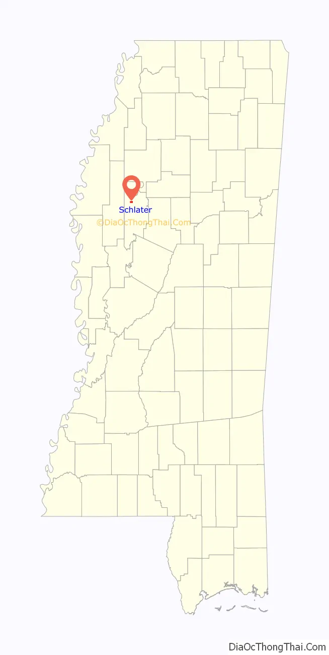
| State: | Mississippi |
| County: | Leflore County |
| Elevation: | 128 ft (139 m) |
| Total Area: | 1.15 sq mi (2.99 km²) |
| Land Area: | 1.15 sq mi (2.99 km²) |
| Water Area: | 0.00 sq mi (0.00 km²) |
| Total Population: | 236 |
| Population Density: | 204.51/sq mi (78.95/km²) |
| ZIP code: | 38952 |
| Area code: | 662 |
| FIPS code: | 2866080 |
| GNISfeature ID: | 0677454 |
Online Interactive Map
Click on ![]() to view map in "full screen" mode.
to view map in "full screen" mode.
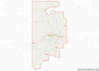
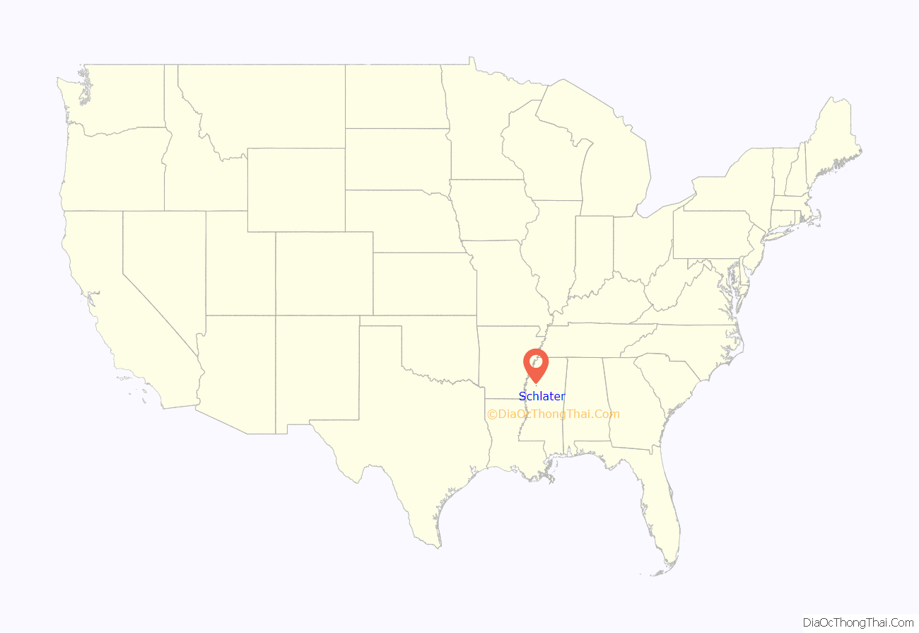
Schlater location map. Where is Schlater town?
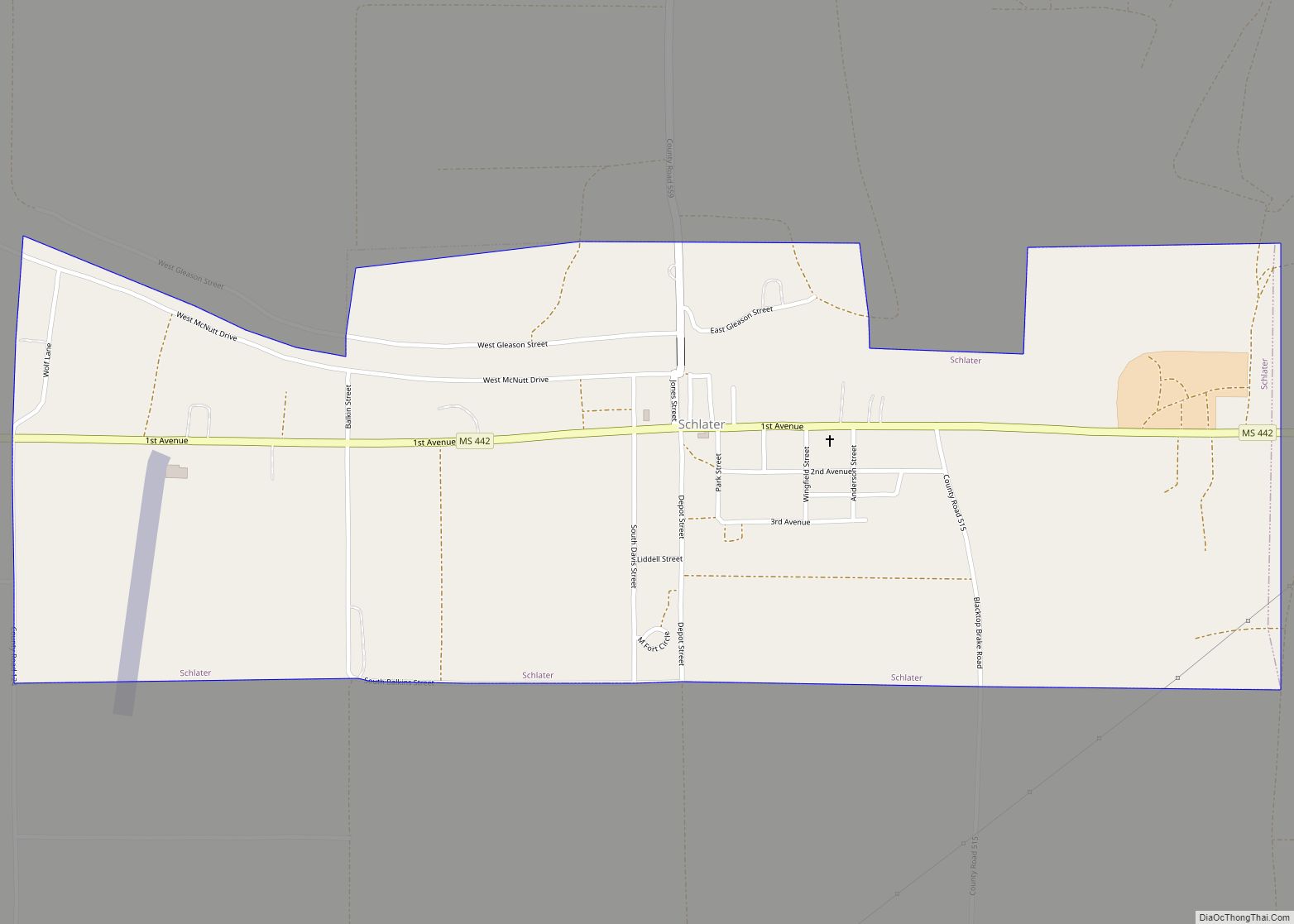
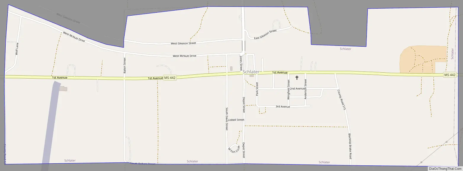
Schlater Road Map
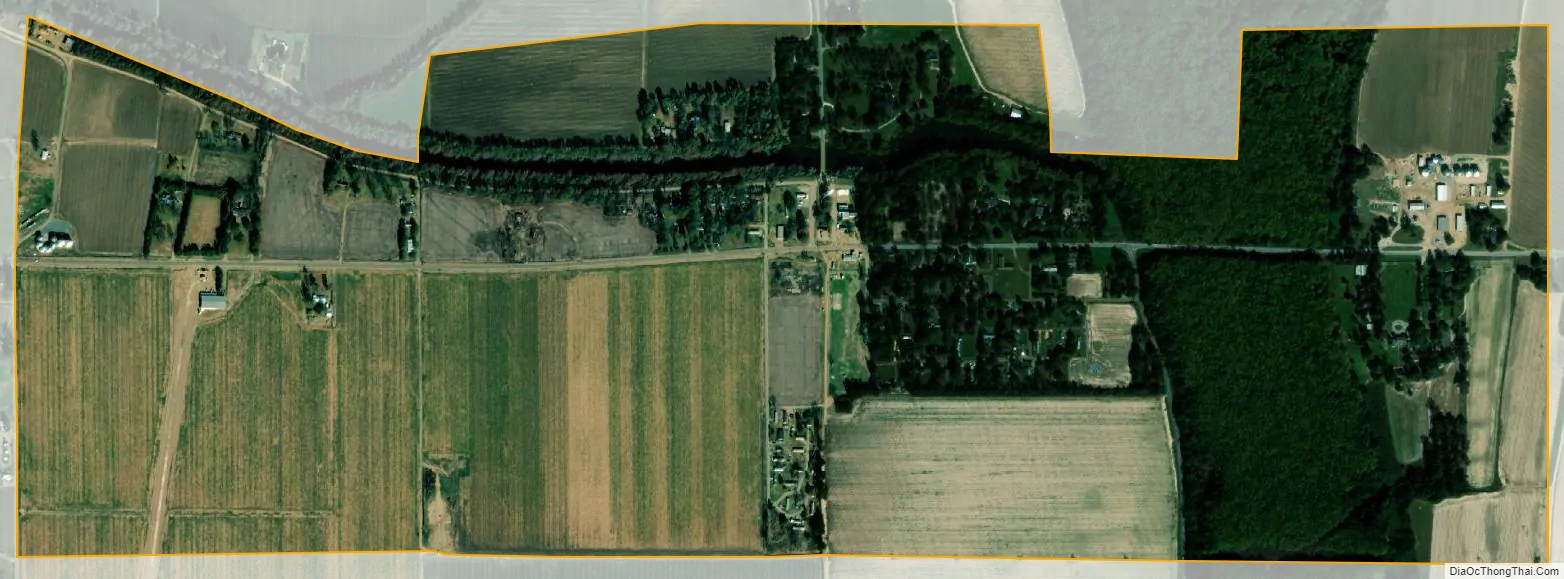
Schlater city Satellite Map
Geography
Schlater is located in northwestern Leflore County at 33°38′25″N 90°20′50″W / 33.64028°N 90.34722°W / 33.64028; -90.34722 (33.640156, -90.347246). Mississippi Highway 442 passes through the town, leading east 3 miles (5 km) to U.S. Route 49E and west 10 miles (16 km) to Doddsville and U.S. Route 49W. Via US-49E Schlater is 17 miles (27 km) northwest of Greenwood, the Leflore county seat.
According to the United States Census Bureau, the town has a total area of 1.2 square miles (3.0 km), all of it recorded as land. McNutt Lake is a narrow waterway that passes through the town, connecting Ashland Brake to the east with the Quiver River to the west, part of the Yazoo River watershed.
See also
Map of Mississippi State and its subdivision:- Adams
- Alcorn
- Amite
- Attala
- Benton
- Bolivar
- Calhoun
- Carroll
- Chickasaw
- Choctaw
- Claiborne
- Clarke
- Clay
- Coahoma
- Copiah
- Covington
- Desoto
- Forrest
- Franklin
- George
- Greene
- Grenada
- Hancock
- Harrison
- Hinds
- Holmes
- Humphreys
- Issaquena
- Itawamba
- Jackson
- Jasper
- Jefferson
- Jefferson Davis
- Jones
- Kemper
- Lafayette
- Lamar
- Lauderdale
- Lawrence
- Leake
- Lee
- Leflore
- Lincoln
- Lowndes
- Madison
- Marion
- Marshall
- Monroe
- Montgomery
- Neshoba
- Newton
- Noxubee
- Oktibbeha
- Panola
- Pearl River
- Perry
- Pike
- Pontotoc
- Prentiss
- Quitman
- Rankin
- Scott
- Sharkey
- Simpson
- Smith
- Stone
- Sunflower
- Tallahatchie
- Tate
- Tippah
- Tishomingo
- Tunica
- Union
- Walthall
- Warren
- Washington
- Wayne
- Webster
- Wilkinson
- Winston
- Yalobusha
- Yazoo
- Alabama
- Alaska
- Arizona
- Arkansas
- California
- Colorado
- Connecticut
- Delaware
- District of Columbia
- Florida
- Georgia
- Hawaii
- Idaho
- Illinois
- Indiana
- Iowa
- Kansas
- Kentucky
- Louisiana
- Maine
- Maryland
- Massachusetts
- Michigan
- Minnesota
- Mississippi
- Missouri
- Montana
- Nebraska
- Nevada
- New Hampshire
- New Jersey
- New Mexico
- New York
- North Carolina
- North Dakota
- Ohio
- Oklahoma
- Oregon
- Pennsylvania
- Rhode Island
- South Carolina
- South Dakota
- Tennessee
- Texas
- Utah
- Vermont
- Virginia
- Washington
- West Virginia
- Wisconsin
- Wyoming