Shaw is a city in Bolivar and Sunflower counties, Mississippi, United States, located in the Mississippi Delta region. The name was derived from an old Indian tribe northeast of this region. The population was 1,952 at the 2010 census.
| Name: | Shaw city |
|---|---|
| LSAD Code: | 25 |
| LSAD Description: | city (suffix) |
| State: | Mississippi |
| County: | Bolivar County, Sunflower County |
| Elevation: | 131 ft (40 m) |
| Total Area: | 1.11 sq mi (2.88 km²) |
| Land Area: | 1.11 sq mi (2.88 km²) |
| Water Area: | 0.00 sq mi (0.00 km²) |
| Total Population: | 1,457 |
| Population Density: | 1,309.07/sq mi (505.46/km²) |
| ZIP code: | 38773 |
| Area code: | 662 |
| FIPS code: | 2867000 |
| GNISfeature ID: | 0677626 |
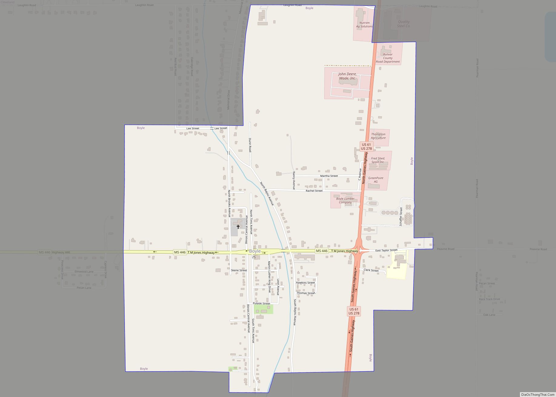
Online Interactive Map
Click on ![]() to view map in "full screen" mode.
to view map in "full screen" mode.
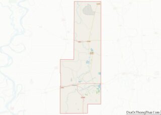
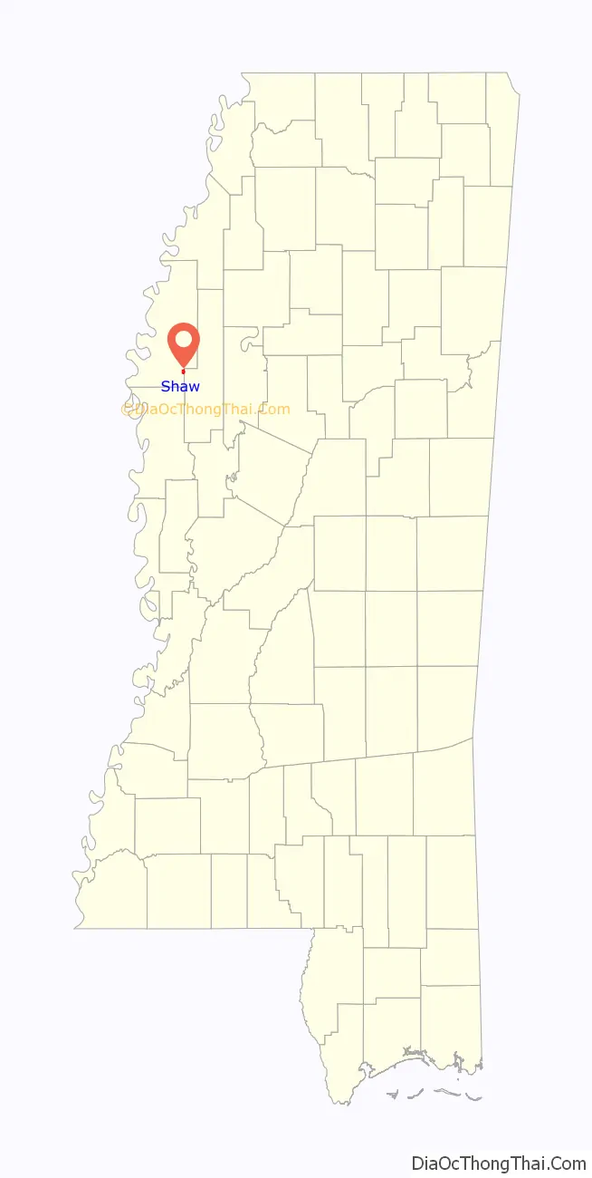
Shaw location map. Where is Shaw city?

History
On June 30, 1914, Jack Farmer, an African-American resident of Shaw, was being sought by a white posse for allegedly murdering Earl Chase, a white man, also a resident of Shaw. Two deaths took place during the intense search: Jennie Collins, an African-American woman thought to have assisted Farmer in his flight, and James Jolly, a member of the posse who was mistaken for Farmer in the darkness. Both were shot and killed as the posse swept through a local swamp where Farmer was believed to be hiding. Farmer was never located.
Shaw gained national attention in 1971 when a group of local residents led by Andrew Hawkins sued the town for violating their Fourteenth Amendment right to equal protection under the law. In Hawkins v. Town of Shaw, the residents claimed the town had discriminated against black neighborhoods in the way it distributed public services, noting that while 99 percent of homes occupied by whites had access to sewers, only 80 percent of black-occupied homes had sewer access. Water pressure was also lower in black neighborhoods. The Fifth Circuit Court ruled in favor of the plaintiffs, and ordered Shaw to equalize access to public services such as fire hydrants, water mains, lighting, sewers and street paving. The ruling was considered a watershed civil rights victory, with some commentators comparing it to Brown v. Board of Education. However, the case did not encourage a wave of similar lawsuits in other jurisdictions.
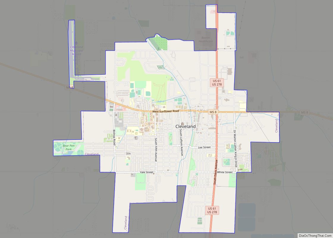
Shaw Road Map
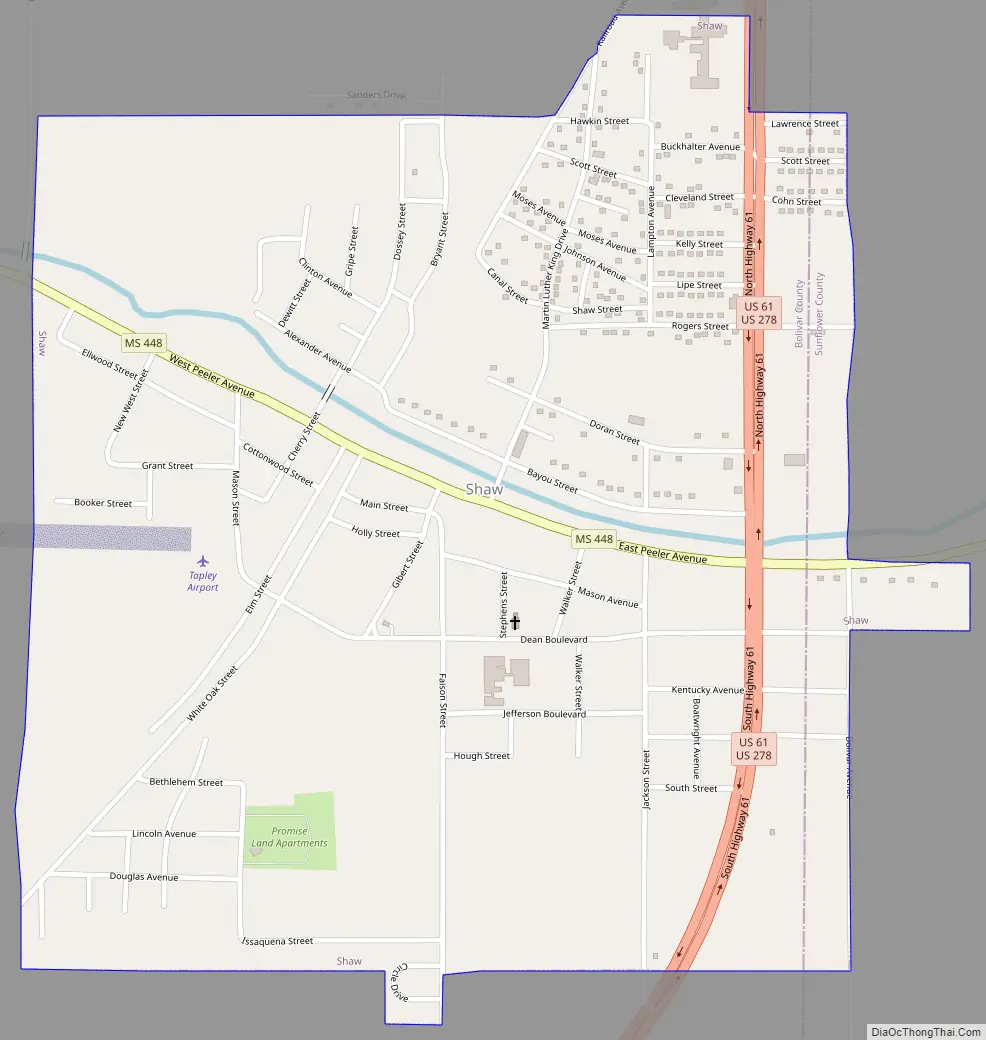
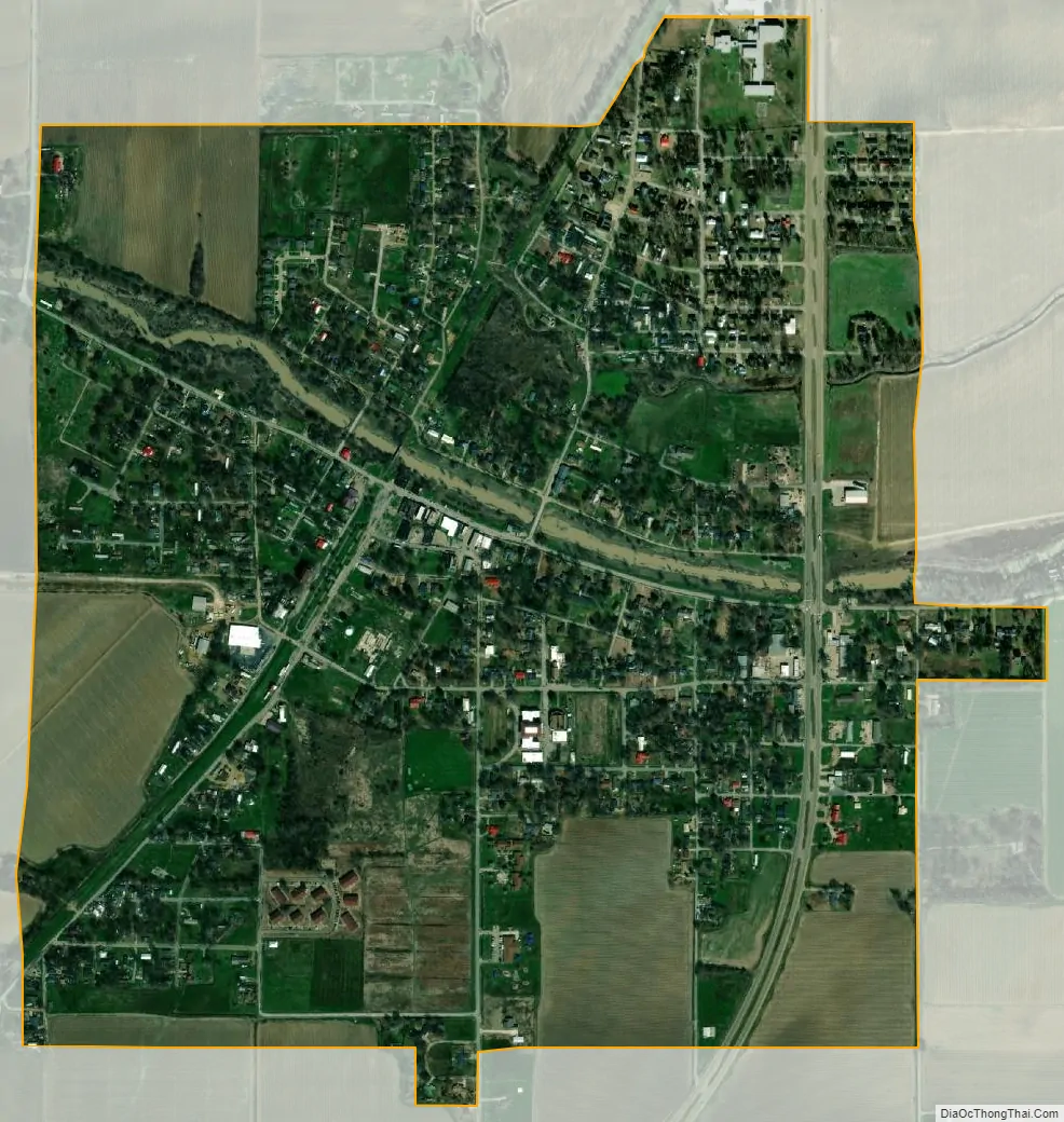
Shaw city Satellite Map
Geography
Shaw is almost entirely in Bolivar County, with a small portion extending east into adjacent Sunflower County. In the 2000 census, all of the city’s 2,313 residents lived in Bolivar County. Although no residents lived in the Sunflower County portion in 2000, that figure had risen to 1 by 2006.
According to the United States Census Bureau, the city has a total area of 1.1 square miles (2.9 km), all land.
See also
Map of Mississippi State and its subdivision:- Adams
- Alcorn
- Amite
- Attala
- Benton
- Bolivar
- Calhoun
- Carroll
- Chickasaw
- Choctaw
- Claiborne
- Clarke
- Clay
- Coahoma
- Copiah
- Covington
- Desoto
- Forrest
- Franklin
- George
- Greene
- Grenada
- Hancock
- Harrison
- Hinds
- Holmes
- Humphreys
- Issaquena
- Itawamba
- Jackson
- Jasper
- Jefferson
- Jefferson Davis
- Jones
- Kemper
- Lafayette
- Lamar
- Lauderdale
- Lawrence
- Leake
- Lee
- Leflore
- Lincoln
- Lowndes
- Madison
- Marion
- Marshall
- Monroe
- Montgomery
- Neshoba
- Newton
- Noxubee
- Oktibbeha
- Panola
- Pearl River
- Perry
- Pike
- Pontotoc
- Prentiss
- Quitman
- Rankin
- Scott
- Sharkey
- Simpson
- Smith
- Stone
- Sunflower
- Tallahatchie
- Tate
- Tippah
- Tishomingo
- Tunica
- Union
- Walthall
- Warren
- Washington
- Wayne
- Webster
- Wilkinson
- Winston
- Yalobusha
- Yazoo
- Alabama
- Alaska
- Arizona
- Arkansas
- California
- Colorado
- Connecticut
- Delaware
- District of Columbia
- Florida
- Georgia
- Hawaii
- Idaho
- Illinois
- Indiana
- Iowa
- Kansas
- Kentucky
- Louisiana
- Maine
- Maryland
- Massachusetts
- Michigan
- Minnesota
- Mississippi
- Missouri
- Montana
- Nebraska
- Nevada
- New Hampshire
- New Jersey
- New Mexico
- New York
- North Carolina
- North Dakota
- Ohio
- Oklahoma
- Oregon
- Pennsylvania
- Rhode Island
- South Carolina
- South Dakota
- Tennessee
- Texas
- Utah
- Vermont
- Virginia
- Washington
- West Virginia
- Wisconsin
- Wyoming