Fort Lee is a borough at the eastern border of Bergen County, in the U.S. state of New Jersey, situated along the Hudson River atop The Palisades.
As of the 2020 United States census, the borough’s population was 40,191, an increase of 4,846 (+13.7%) from the 2010 census count of 35,345, which in turn reflected a decline of 116 (−0.3%) from the 35,461 counted in the 2000 census. Along with other communities in Bergen County, it is one of the largest and fastest-growing ethnic Korean enclaves outside of Korea.
Fort Lee is named for the site of an American Revolutionary War military encampment. At the turn of the 20th century it became the birthplace of the American film industry. In 1931, the borough became the western terminus of the George Washington Bridge, which crosses the Hudson River and connects to the borough of Manhattan in New York City. Fort Lee’s population and housing density increased considerably during the 1960s and 1970s with the construction of highrise apartment buildings.
| Name: | Fort Lee borough |
|---|---|
| LSAD Code: | 21 |
| LSAD Description: | borough (suffix) |
| State: | New Jersey |
| County: | Bergen County |
| Incorporated: | March 29, 1904 |
| Elevation: | 289 ft (88 m) |
| Total Area: | 2.86 sq mi (7.41 km²) |
| Land Area: | 2.52 sq mi (6.52 km²) |
| Water Area: | 0.34 sq mi (0.89 km²) 12.33% |
| Total Population: | 40,191 |
| Population Density: | 15,961.5/sq mi (6,162.8/km²) |
| ZIP code: | 07024 |
| Area code: | 201 |
| FIPS code: | 3424420 |
| GNISfeature ID: | 0885223 |
| Website: | www.fortleenj.org |
Online Interactive Map
Click on ![]() to view map in "full screen" mode.
to view map in "full screen" mode.
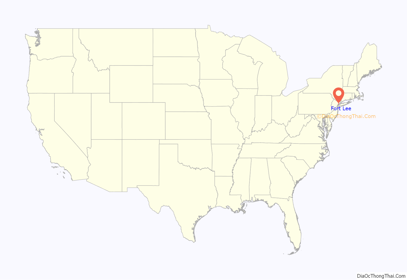
Fort Lee location map. Where is Fort Lee borough?
History
Early settlement
The Lenape indigenous peoples were the first to live in the area. Captain Henry Hudson was the first European to record the area in 1609. In 1756 Stephen Bourdette acquired 400 acres of land which included modern day Fort Lee.
Colonial era
Originally known as Fort Constitution, Fort Lee was named for General Charles Lee after George Washington and his troops had camped at Mount Constitution overlooking Burdett’s Landing, in defense of New York City. It was during Washington’s retreat in November 1776 (beginning along a road which is now Main Street) that Thomas Paine composed his pamphlet, The American Crisis, which began with the recognized phrase, “These are the times that try men’s souls.” These events are recalled at Monument Park and Fort Lee Historic Park.
Formation
Fort Lee was formed by an act of the New Jersey Legislature on March 29, 1904, from the remaining portions of Ridgefield Township. With the creation of Fort Lee, Ridgefield Township became defunct and was dissolved as of March 29, 1904. The Fort Lee Police Department was formed under borough ordinance on August 9, 1904, and originally consisted of six marshals.
America’s first motion picture industry
The history of cinema in the United States can trace its roots to the East Coast where, at one time, Fort Lee was the motion picture capital of America. The industry got its start at the end of the 19th century with the construction of Thomas Edison’s “Black Maria”, the first motion picture studio, in West Orange, New Jersey. New Jersey offered land at costs considerably less than New York City, and the cities and towns along the Hudson River and the Palisades benefited greatly as a result of the phenomenal growth of the film industry at the turn of the 20th century.
Film-making began attracting both capital and an innovative workforce, and when the Kalem Company began using Fort Lee in 1907 as a location for filming in the area, other filmmakers quickly followed. In 1909, a forerunner of Universal Studios, the Champion Film Company, built the first studio. They were quickly followed by others who either built new studios or who leased facilities in Fort Lee. In the 1910s and 1920s, film companies such as the Independent Moving Pictures Company, Peerless Studios, The Solax Company, Éclair Studios, Goldwyn Picture Corporation, American Méliès (Star Films), World Film Company, Biograph Studios, Fox Film Corporation, Pathé Frères, Metro Pictures Corporation, Victor Film Company, and Selznick Pictures Corporation were all making pictures in Fort Lee. Such notables as Mary Pickford got their start at Biograph Studios.
With the offshoot businesses that sprang up to service the film studios, for nearly two decades Fort Lee experienced unrivaled prosperity. However, just as the development of Fort Lee production facilities were gaining strength, Nestor Studios of Bayonne, New Jersey, built the first studio in Hollywood in 1911. Nestor Studios, owned by David and William Horsley, later merged with Universal Studios; and William Horsley’s other company, Hollywood Film Laboratory, is now the oldest existing company in Hollywood, now called the Hollywood Digital Laboratory. California‘s more temperate climate enabled year-round filming and led to the eventual shift of virtually all filmmaking to the West Coast by the 1930s.
At the time, Thomas Edison owned almost all the patents relevant to motion picture production. Movie producers on the East Coast acting independently of Edison’s Motion Picture Patents Company were often sued or enjoined by Edison and his agents, while movie makers working on the West Coast could work independently of Edison’s control, in part due to the Ninth Circuit Court of Appeals–which was headquartered in San Francisco and covered most of Southern California–being well known for not enforcing patents claims.
In nearby Little Ferry on July 9, 1937, a major fire broke out in a 20th Century-Fox storage facility containing hazardous extremely flammable nitrate film reels.
Television and film in New Jersey remains an important industry. Since 2000, the Fort Lee Film Commission has been charged with celebrating the history of film in Fort Lee, as well as attracting film and television production companies to the borough. The Barrymore Film Center promotes films, film making and its history in the borough. Local film is being promoted, especially because of NJ Tax Credit Programs.
Birthplace of subliminal messaging
In 1957, market researcher James Vicary claimed that quickly flashing messages on a movie screen, in Fort Lee, had influenced people to purchase more food and drinks. Vicary coined the term subliminal advertising and formed the Subliminal Projection Company based on a six-week test. Vicary claimed that during the presentation of the movie Picnic he used a tachistoscope to project the words “Drink Coca-Cola” and “Hungry? Eat popcorn” for 1/3000 of a second at five-second intervals. Vicary asserted that during the test, sales of popcorn and Coke in that New Jersey theater increased 57.8% and 18.1% respectively.
In 1962, Vicary admitted to lying about the experiment and falsifying the results, the story itself being a marketing ploy. An identical experiment conducted by Henry Link showed no increase in cola or popcorn sales. The additional claim that the small cinema handled 45,699 visitors in six weeks has led people to believe that Vicary actually did not conduct his experiment at all.
Korean community
A small number of Korean immigrants have resided the area as early as the 1970s. In the 1990s, a continuous stream of Korean immigrants emerged into Fort Lee. A substantial number of affluent and educated Korean American professionals have settled in Bergen County since the early 2000s and have founded various academic and communally supportive organizations, including the Korean Parent Partnership Organization at the Bergen County Academies magnet high school and The Korean-American Association of New Jersey. Approximately 130 Korean stores were counted in downtown Fort Lee in 2000, a number which has risen significantly since then, featuring restaurants and karaoke (noraebang) bars, grocery markets, education centers and bookstores, banking institutions, offices, electronics vendors, apparel boutiques, and other commercial enterprises.
Various Korean American groups could not reach consensus on the design and wording for a monument in Fort Lee as of early April 2013 to the memory of comfort women, tens of thousands of women and girls, many Korean, who were forced into sexual slavery by Japanese soldiers during World War II. In May 2012, borough officials in neighboring Palisades Park rejected requests by two diplomatic delegations from Japan to remove such a monument from a public park, a brass plaque on a block of stone, dedicated in 2010; days later, a South Korean delegation had endorsed Palisades Park’s decision. In October 2012, a similar memorial was announced in nearby Hackensack, to be raised behind the Bergen County Courthouse, alongside memorials to the Holocaust, the Great Famine of Ireland, and the Armenian genocide, and was unveiled in March 2013. On May 23, 2018, a comfort women memorial was installed in Constitution Park in Fort Lee. Youth Council of Fort Lee, a student organization led by Korean American high school students in Fort Lee designed the memorial.
George Washington Bridge lane closure scandal
The Fort Lee lane closure scandal, also known as Bridgegate, was a political scandal concerning the actions taken by the staff of New Jersey Governor Chris Christie and his Port Authority appointees to create a traffic jam in Fort Lee when dedicated toll lanes for one of the Fort Lee entrances to the upper level on the George Washington Bridge were reduced from three to one from September 9, 2013, to September 13, 2013. Three members of the Christie administration were convicted on federal conspiracy charges for their roles in the lane closures.
One of the reasons suggested for these actions was to punish Fort Lee Mayor Mark Sokolich, a Democrat, for not supporting the Republican Chris Christie in the 2013 New Jersey gubernatorial election. Another theory was that Christie or his aides sought to punish New Jersey Senate majority leader, Loretta Weinberg, who represented the New Jersey district containing Fort Lee, as retribution for the Democrats’ blocking of Christie’s reappointment of a New Jersey Supreme Court justice. Christie withdrew his appointee consideration and delivered a speech referring to New Jersey Senate Democrats as “animals” just one day before emails were sent by Christie’s aides to the Port Authority requesting the lane closures.
Fort Lee Road Map
Fort Lee city Satellite Map
Geography
According to the United States Census Bureau, Fort Lee borough had a total area of 2.87 square miles (7.44 km), including 2.52 square miles (6.52 km) of land and 0.35 square miles (0.92 km) of water (12.33%).
The borough is situated atop the escarpment of the Hudson Palisades on the peninsula between the Hackensack and Hudson rivers. The borough is bisected by the confluence of roads at GWB Plaza leading to the George Washington Bridge.
Unincorporated communities, localities and place names located partially or completely within the borough include Coytesville, Linwood, Palisade and Taylorville.
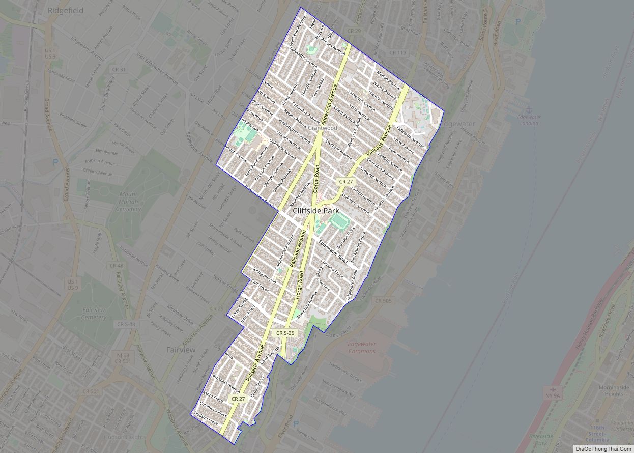
The borough borders Cliffside Park, Edgewater, Englewood, Englewood Cliffs, Leonia, Palisades Park, Ridgefield in Bergen County; and the Washington Heights neighborhood of Upper Manhattan in New York City. Given its evolving cosmopolitan ambiance and adjacent proximity to Manhattan, Fort Lee is one of northern New Jersey’s Hudson Waterfront communities that has been called New York City’s sixth borough.
See also
Map of New Jersey State and its subdivision: Map of other states:- Alabama
- Alaska
- Arizona
- Arkansas
- California
- Colorado
- Connecticut
- Delaware
- District of Columbia
- Florida
- Georgia
- Hawaii
- Idaho
- Illinois
- Indiana
- Iowa
- Kansas
- Kentucky
- Louisiana
- Maine
- Maryland
- Massachusetts
- Michigan
- Minnesota
- Mississippi
- Missouri
- Montana
- Nebraska
- Nevada
- New Hampshire
- New Jersey
- New Mexico
- New York
- North Carolina
- North Dakota
- Ohio
- Oklahoma
- Oregon
- Pennsylvania
- Rhode Island
- South Carolina
- South Dakota
- Tennessee
- Texas
- Utah
- Vermont
- Virginia
- Washington
- West Virginia
- Wisconsin
- Wyoming
