Midland Park is a borough in Bergen County, in the U.S. state of New Jersey. As of the 2020 United States census, the borough’s population was 7,014, a decrease of 114 (−1.6%) from the 2010 census count of 7,128, which in turn reflected an increase of 181 (+2.6%) from the 6,947 counted in the 2000 census.
Midland Park was incorporated as a borough on September 6, 1894, at the height of the “Boroughitis” craze then sweeping through Bergen County that led to the creation of over two dozen new municipalities in the county in that one year alone. The new borough consisted of portions of both Franklin Township and Ridgewood Township. The borough expanded in April 1920 by adding another part of Franklin Township. In a referendum held on June 9, 1931, Midland Park acquired additional land from Wyckoff (which until 1926 had been known as Franklin Township). The borough says that Midland Park was named after the New Jersey Midland Railway, which operated the railroad passing through the area of the borough in the 1870s, though elsewhere the name is said to be based on being situated “amid Bergen hills”.
| Name: | Midland Park borough |
|---|---|
| LSAD Code: | 21 |
| LSAD Description: | borough (suffix) |
| State: | New Jersey |
| County: | Bergen County |
| Incorporated: | September 6, 1894 |
| Elevation: | 312 ft (95 m) |
| Total Area: | 1.58 sq mi (4.09 km²) |
| Land Area: | 1.57 sq mi (4.07 km²) |
| Water Area: | 0.01 sq mi (0.02 km²) 0.51% |
| Total Population: | 7,014 |
| Population Density: | 4,464.7/sq mi (1,723.8/km²) |
| ZIP code: | 07432 |
| Area code: | 201 |
| FIPS code: | 3446110 |
| GNISfeature ID: | 0885300 |
| Website: | www.midlandparknj.org |
Online Interactive Map
Click on ![]() to view map in "full screen" mode.
to view map in "full screen" mode.
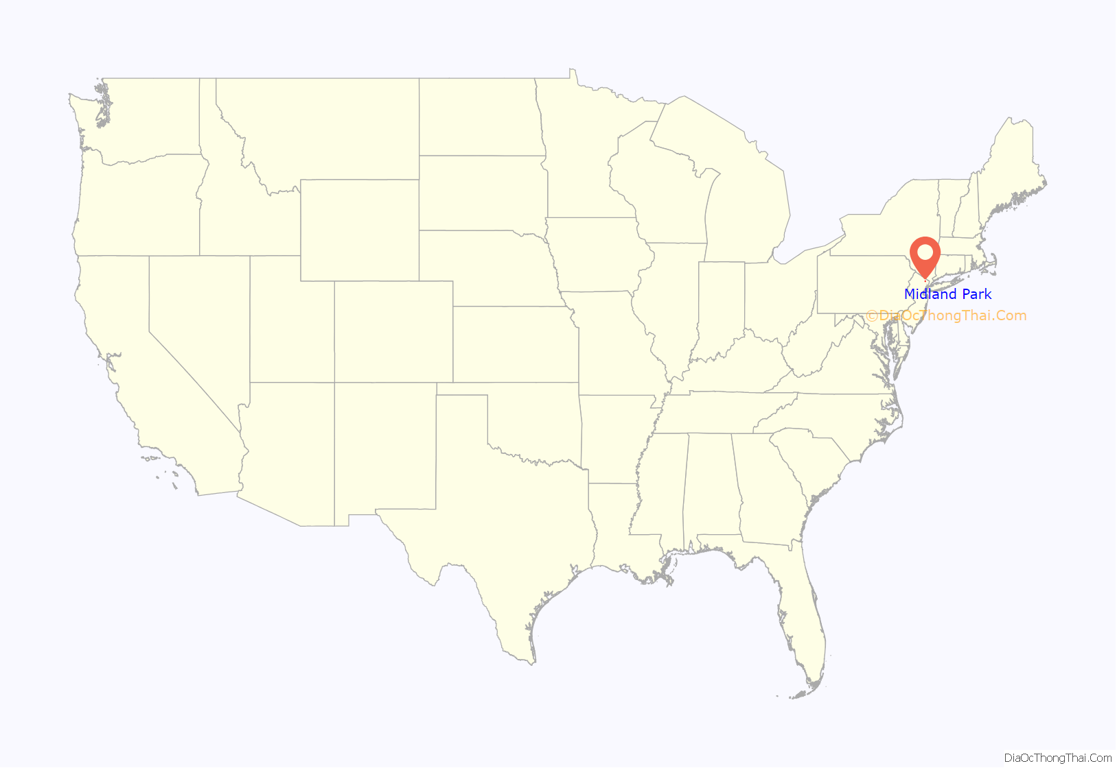
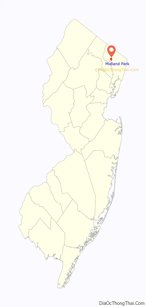
Midland Park location map. Where is Midland Park borough?
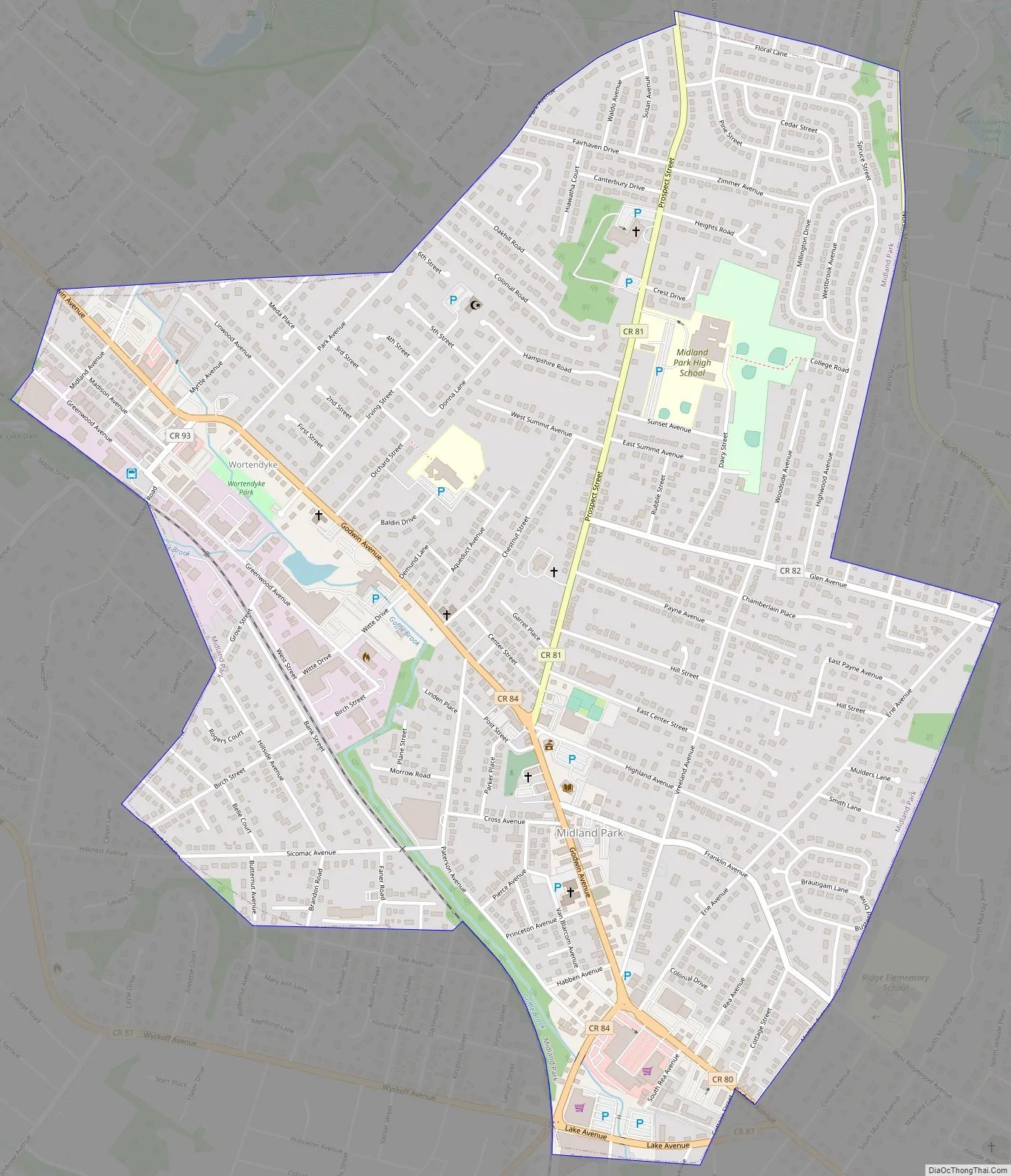
Midland Park Road Map
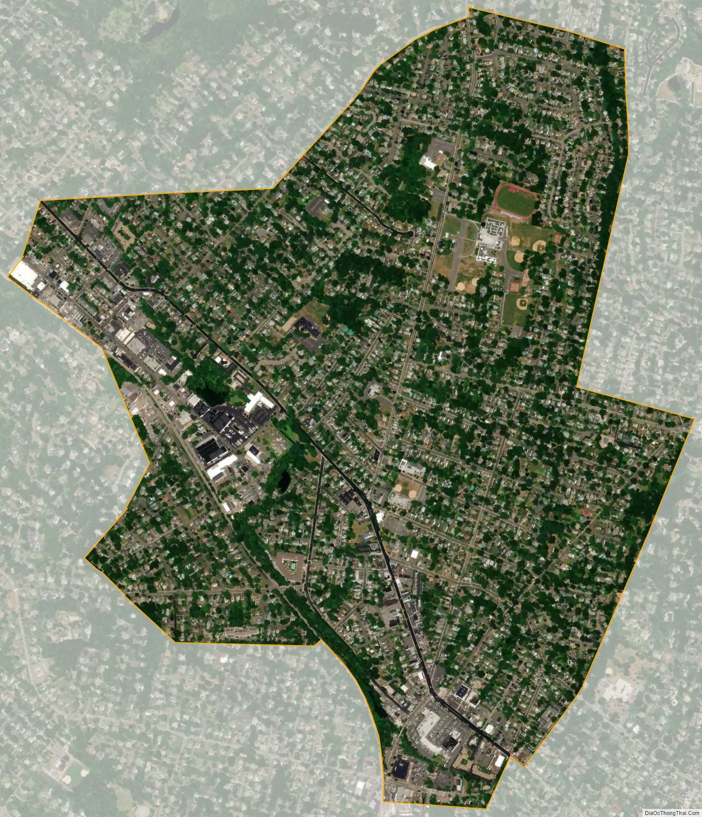
Midland Park city Satellite Map
Geography
According to the United States Census Bureau, the borough had a total area of 1.58 square miles (4.09 km), including 1.57 square miles (4.07 km) of land and 0.01 square miles (0.02 km) of water (0.51%).
Unincorporated communities, localities and place names located partially or completely within the township include Wortendyke.
The borough borders the Bergen County municipalities of Ridgewood, Waldwick and Wyckoff.
The borough is divided by Prospect Street, a main road running north–south through the center of the town. Prospect Street is the southernmost end of what is otherwise known as Crescent Avenue (or West Crescent Avenue), which runs through Ramsey, Allendale, and Wyckoff.
Neighborhoods
Northside borders Waldwick and is the location of Midland Park High School. The Catholic church, Nativity, is also located on the Northside of the borough.
Wortendyke borders Wyckoff and is home to longtime retailers such as Rosario’s, Romeo’s Barber Stylists, and Creations by Fran, and other small businesses; this is the other, quieter downtown region of Midland Park, near Wortendyke Station.
South Central is the industrial region of the town, with fewer households. It follows the Goffle Brook and the New York, Susquehanna and Western Railway.
Southeast is the home of the Midland Park Shopping Center and to many other businesses.
See also
Map of New Jersey State and its subdivision: Map of other states:- Alabama
- Alaska
- Arizona
- Arkansas
- California
- Colorado
- Connecticut
- Delaware
- District of Columbia
- Florida
- Georgia
- Hawaii
- Idaho
- Illinois
- Indiana
- Iowa
- Kansas
- Kentucky
- Louisiana
- Maine
- Maryland
- Massachusetts
- Michigan
- Minnesota
- Mississippi
- Missouri
- Montana
- Nebraska
- Nevada
- New Hampshire
- New Jersey
- New Mexico
- New York
- North Carolina
- North Dakota
- Ohio
- Oklahoma
- Oregon
- Pennsylvania
- Rhode Island
- South Carolina
- South Dakota
- Tennessee
- Texas
- Utah
- Vermont
- Virginia
- Washington
- West Virginia
- Wisconsin
- Wyoming


