Pleasantville is a city in Atlantic County, in the U.S. state of New Jersey. As of the 2020 United States census, the city’s population was 20,629, its highest decennial count ever and an increase of 380 (+1.9%) from the 2010 census count of 20,249, which in turn had reflected an increase of 1,237 (+6.5%) from the 19,012 counted at the 2000 census.
Geographically, the city, and all of Atlantic County, is part of the South Jersey region of the state and of the Atlantic City–Hammonton metropolitan statistical area, which in turn is included in the Philadelphia–Reading–Camden combined statistical area and the Delaware Valley.
Pleasantville was originally incorporated as a borough by an act of the New Jersey Legislature on January 10, 1889, from portions of Egg Harbor Township, based on the results of a referendum held on December 15, 1888. Pleasantville was incorporated as a city on April 14, 1914, replacing Pleasantville borough, based on the results of a referendum held that same day. the city was named by David Ingersoll for its surroundings.
The city had the eighth-highest property tax rate in New Jersey, with an equalized rate of 4.903% in 2020, compared to 2.560% in the county as a whole and a statewide average of 2.279%.
| Name: | Pleasantville city |
|---|---|
| LSAD Code: | 25 |
| LSAD Description: | city (suffix) |
| State: | New Jersey |
| County: | Atlantic County |
| Incorporated: | January 10, 1889 |
| Elevation: | 7 ft (2 m) |
| Total Area: | 7.28 sq mi (18.86 km²) |
| Land Area: | 5.72 sq mi (14.82 km²) |
| Water Area: | 1.56 sq mi (4.05 km²) 21.46% |
| Total Population: | 20,629 |
| Population Density: | 3,605.8/sq mi (1,392.2/km²) |
| Area code: | 609 |
| FIPS code: | 3459640 |
| GNISfeature ID: | 0885356 |
| Website: | www.pleasantville-nj.org |
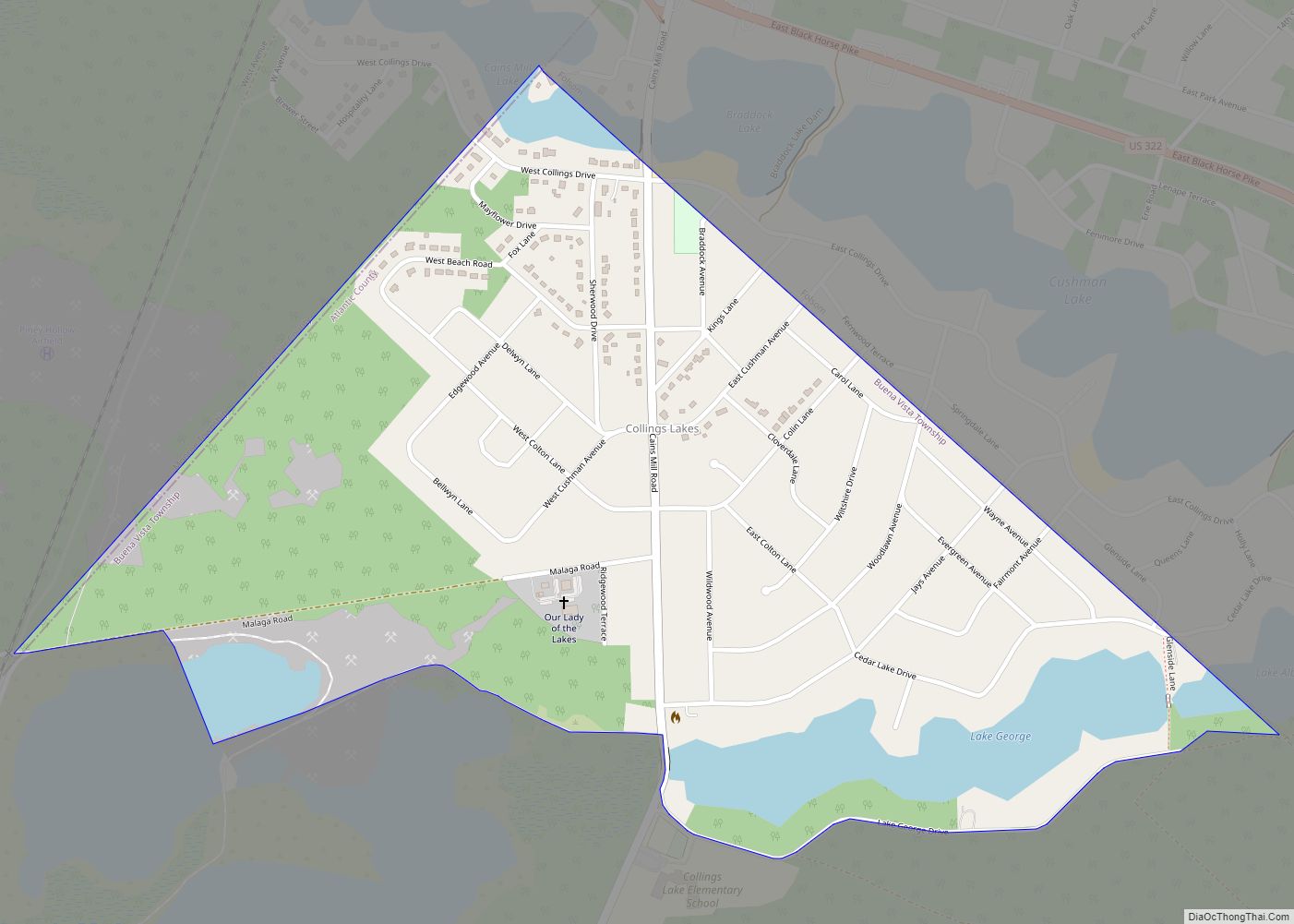
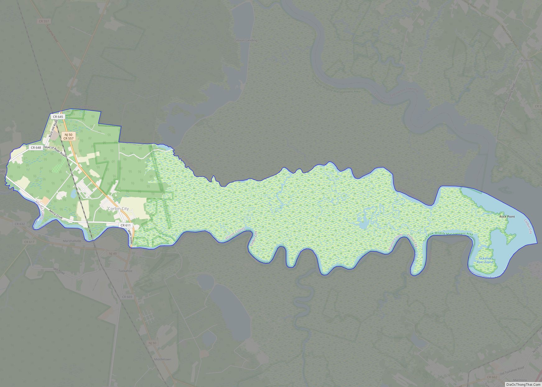
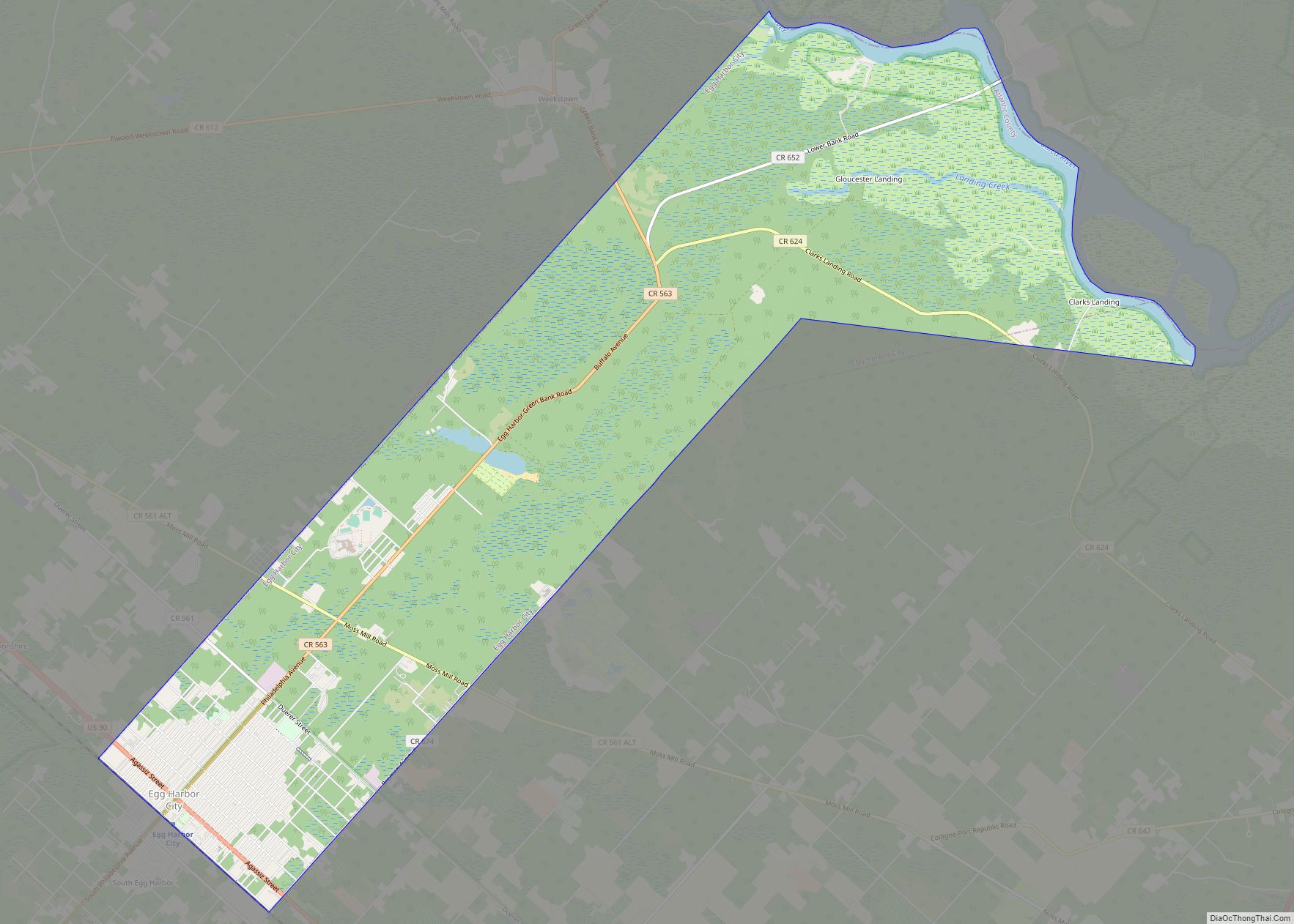
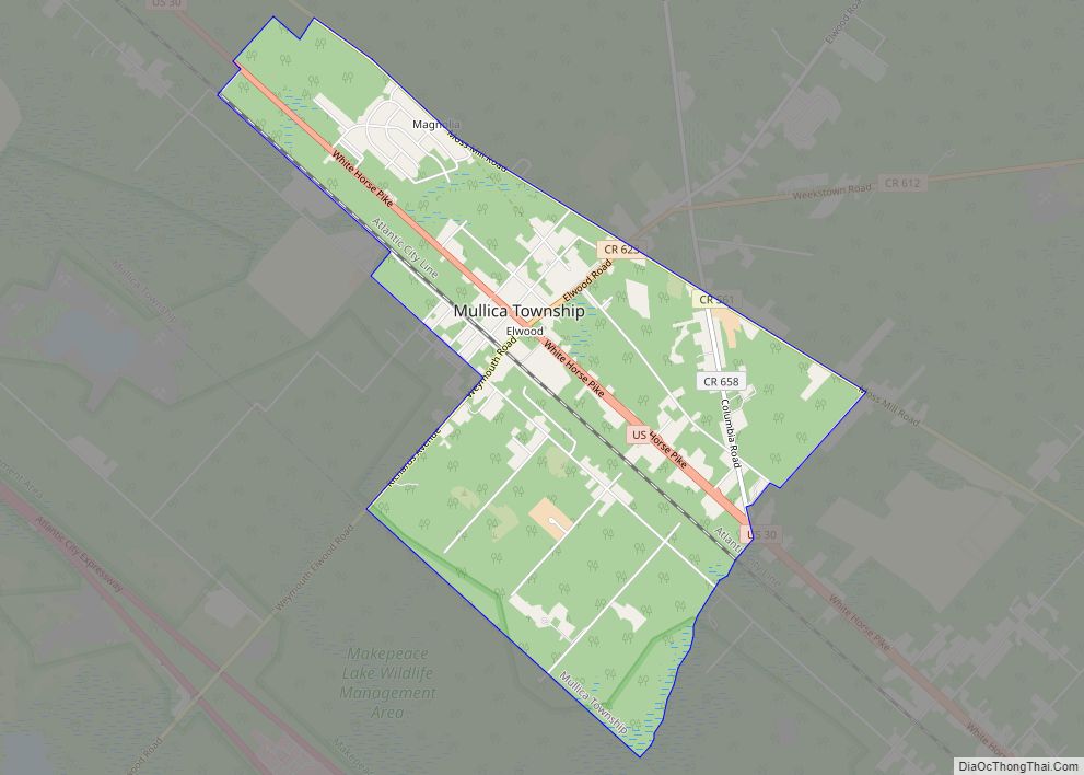
Online Interactive Map
Click on ![]() to view map in "full screen" mode.
to view map in "full screen" mode.
Pleasantville location map. Where is Pleasantville city?


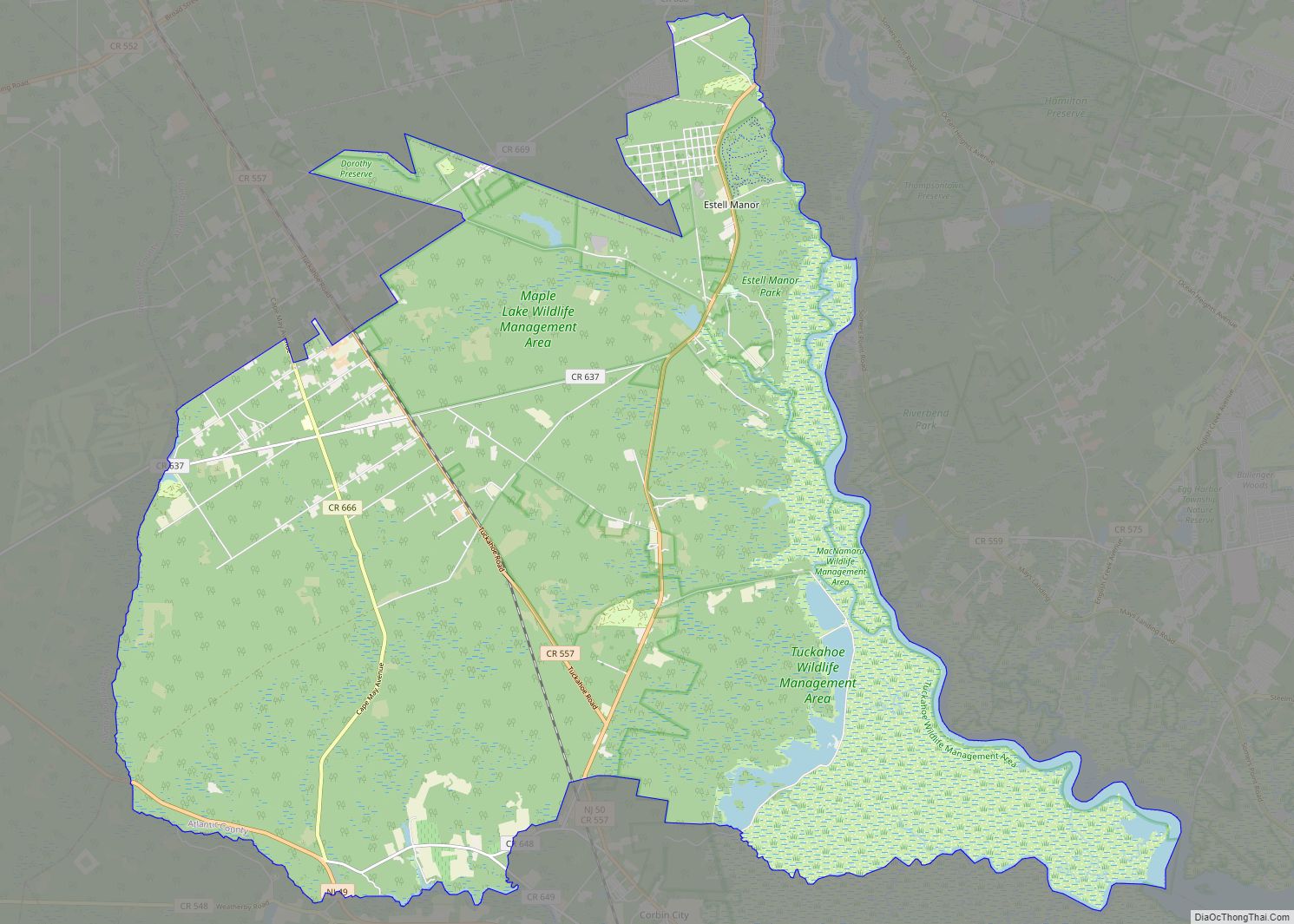
Pleasantville Road Map

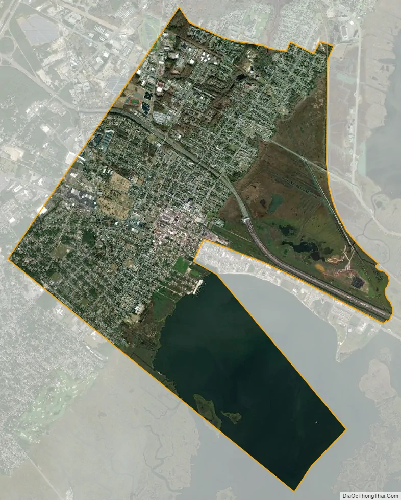
Pleasantville city Satellite Map
Geography
According to the U.S. Census Bureau, the city had a total area of 7.28 square miles (18.86 km), including 5.72 square miles (14.82 km) of land and 1.56 square miles (4.05 km) of water (21.46%). Unincorporated communities, localities and place names located partially or completely within the city include Mount Pleasant, Risleyville and Smiths Landing.
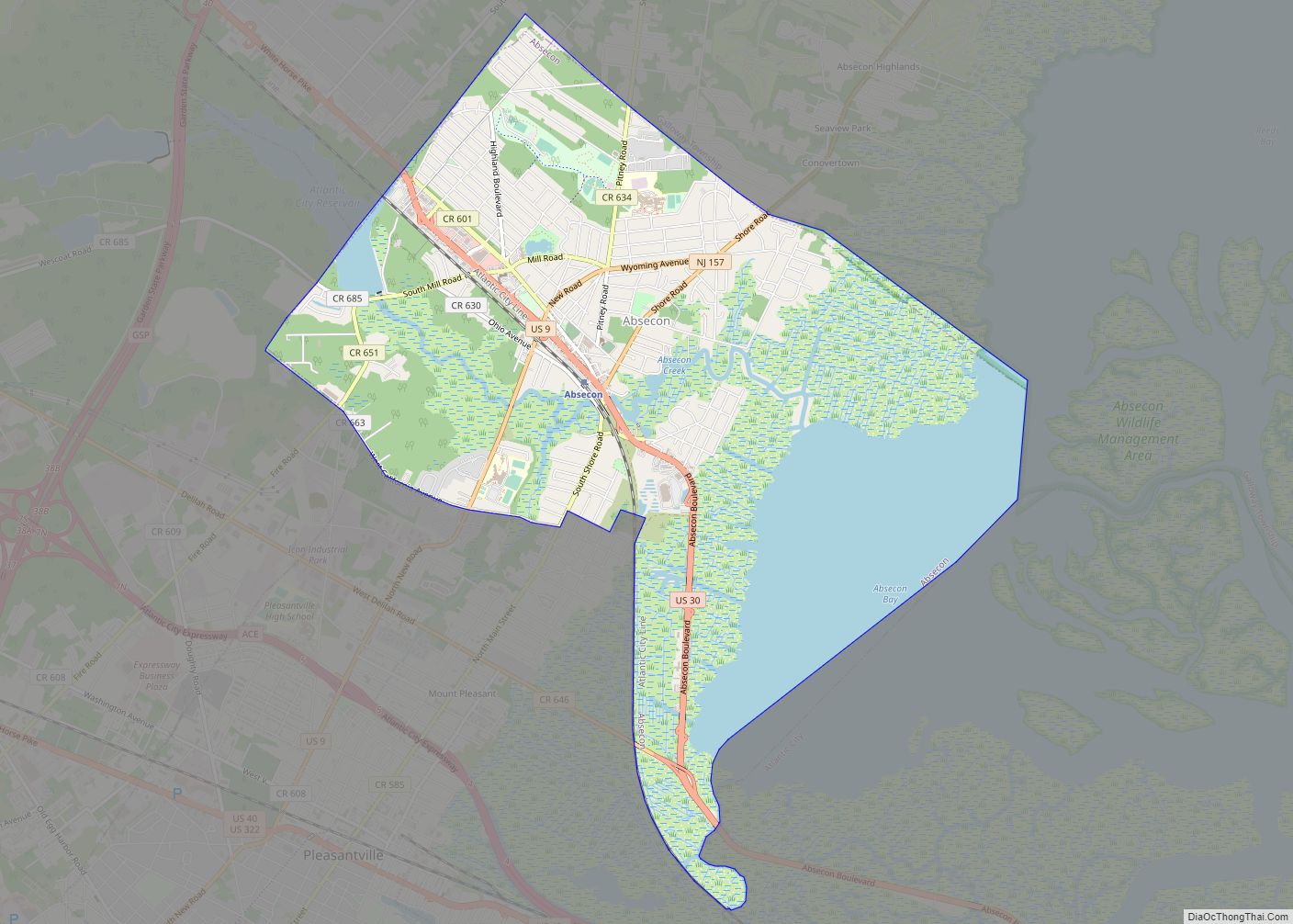
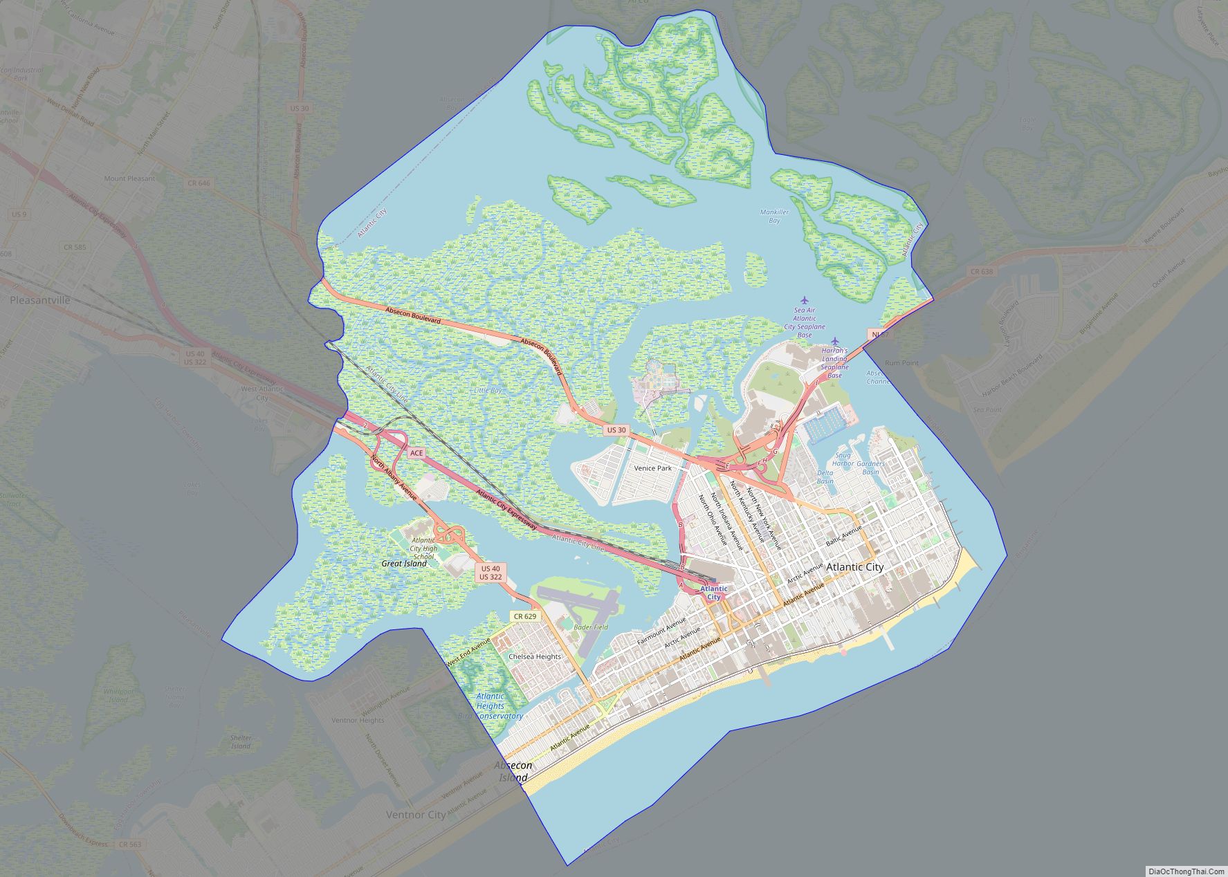
The city borders the Atlantic County municipalities of Absecon, Atlantic City, Egg Harbor Township, Northfield, and Ventnor City.
See also
Map of New Jersey State and its subdivision: Map of other states:- Alabama
- Alaska
- Arizona
- Arkansas
- California
- Colorado
- Connecticut
- Delaware
- District of Columbia
- Florida
- Georgia
- Hawaii
- Idaho
- Illinois
- Indiana
- Iowa
- Kansas
- Kentucky
- Louisiana
- Maine
- Maryland
- Massachusetts
- Michigan
- Minnesota
- Mississippi
- Missouri
- Montana
- Nebraska
- Nevada
- New Hampshire
- New Jersey
- New Mexico
- New York
- North Carolina
- North Dakota
- Ohio
- Oklahoma
- Oregon
- Pennsylvania
- Rhode Island
- South Carolina
- South Dakota
- Tennessee
- Texas
- Utah
- Vermont
- Virginia
- Washington
- West Virginia
- Wisconsin
- Wyoming