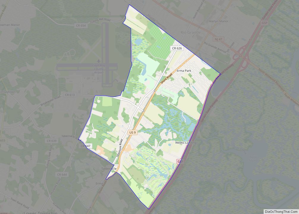
Rio Grande (/rioʊɡrʌndeɪ/) is an unincorporated community and census-designated place (CDP) located within Middle Township and Lower Township in Cape May County, New Jersey, United States.
Though for the 1990 to 2010 U.S. censuses the CDP was entirely located within Middle Township, a small section at the southern edge of the community, located in Lower Township, is sometimes called Rio Grande. For the 2020 U.S. Census the boundary was redrawn so that portions of Lower Township were included in the Rio Grande CDP.
It is part of the Ocean City Metropolitan Statistical Area. As of the 2010 United States Census, the CDP’s population was 2,670.
| Name: | Rio Grande CDP |
|---|---|
| LSAD Code: | 57 |
| LSAD Description: | CDP (suffix) |
| State: | New Jersey |
| County: | Cape May County |
| Elevation: | 20 ft (6 m) |
| Total Area: | 2.73 sq mi (7.08 km²) |
| Land Area: | 2.70 sq mi (6.99 km²) |
| Water Area: | 0.03 sq mi (0.08 km²) 1.26% |
| Total Population: | 3,610 |
| Population Density: | 1,337.04/sq mi (516.32/km²) |
| ZIP code: | 08242 |
| Area code: | 609 |
| FIPS code: | 3463180 |
| GNISfeature ID: | 02389752 |
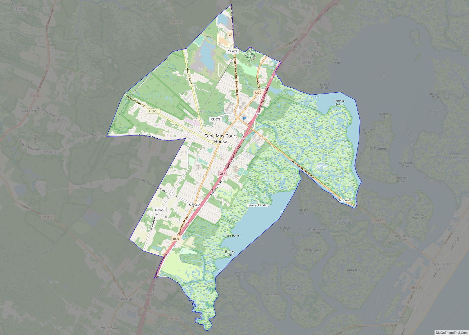
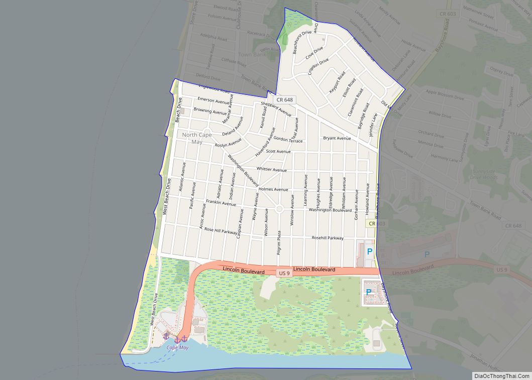
Online Interactive Map
Click on ![]() to view map in "full screen" mode.
to view map in "full screen" mode.
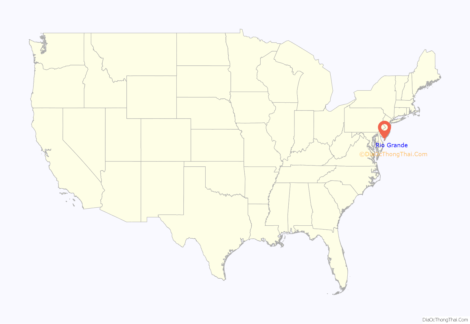
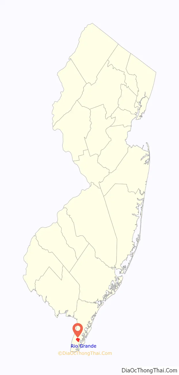
Rio Grande location map. Where is Rio Grande CDP?
History
According to Jeffrey M. Dorwart, Rio Grande was founded in the mid-nineteenth century around a country store owned by the Hildreth family. The community was originally called Hildreth for that reason.
George F. Boyer and J. Pearson Cunningham explain that, during the colonial period, Aaron Leaming, the Hildreths and the Cresses had plantations in that area. Where the King’s Highway crossed the road coming from Dennisville and Goshen a stage coach terminal was set up, and the spot became the center for trade for the local farming families. Boyer and Cunningham say that the area was known as “Leamings,” for the prominent landholders, or as “Hildreth,” the family who ran the local store. (p. 121-122) They continue, “The name, Rio Grande, was suggested by the seventh Aaron Leaming who thought this southern United States river had an attractive sound.”
Rio Grande Road Map
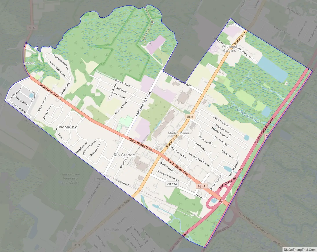
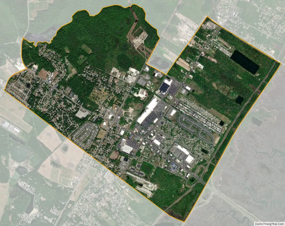
Rio Grande city Satellite Map
Geography
According to the United States Census Bureau, the CDP had a total area of 2.490 square miles (6.450 km), including 2.459 square miles (6.369 km) of land and 0.031 square miles (0.081 km) of water (1.26%).
Climate
The climate in this area is characterized by hot, humid summers and generally mild to cool winters. According to the Köppen Climate Classification system, Rio Grande has a humid subtropical climate, abbreviated “Cfa” on climate maps.
See also
Map of New Jersey State and its subdivision: Map of other states:- Alabama
- Alaska
- Arizona
- Arkansas
- California
- Colorado
- Connecticut
- Delaware
- District of Columbia
- Florida
- Georgia
- Hawaii
- Idaho
- Illinois
- Indiana
- Iowa
- Kansas
- Kentucky
- Louisiana
- Maine
- Maryland
- Massachusetts
- Michigan
- Minnesota
- Mississippi
- Missouri
- Montana
- Nebraska
- Nevada
- New Hampshire
- New Jersey
- New Mexico
- New York
- North Carolina
- North Dakota
- Ohio
- Oklahoma
- Oregon
- Pennsylvania
- Rhode Island
- South Carolina
- South Dakota
- Tennessee
- Texas
- Utah
- Vermont
- Virginia
- Washington
- West Virginia
- Wisconsin
- Wyoming