Ventnor City is a city situated on the Jersey Shore on Absecon Island, within Atlantic County, in the U.S. state of New Jersey, on the Atlantic Ocean. As of the 2020 United States census, the city’s population was 9,210, a decrease of 1,440 (−13.5%) from the 2010 census count of 10,650, which in turn reflected a decrease of 2,260 (−17.5%) from the 12,910 counted in the 2000 census. The city, and all of Atlantic County, is part of the Atlantic City–Hammonton metropolitan statistical area, which is part of the Philadelphia–Wilmington–Camden, PA-NJ-DE–MD combined statistical area, also known as the Delaware Valley or Philadelphia metropolitan area.
Ventnor City was incorporated as a city by an act of the New Jersey Legislature on March 17, 1903, from portions of Egg Harbor Township.
| Name: | Ventnor City city |
|---|---|
| LSAD Code: | 25 |
| LSAD Description: | city (suffix) |
| State: | New Jersey |
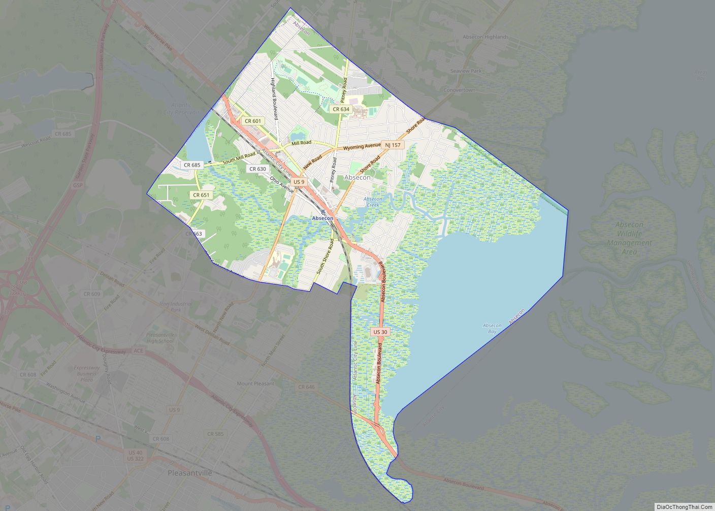
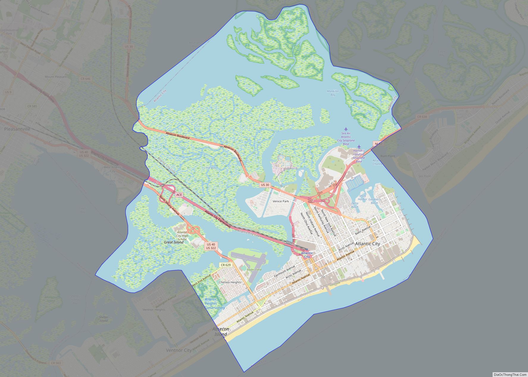
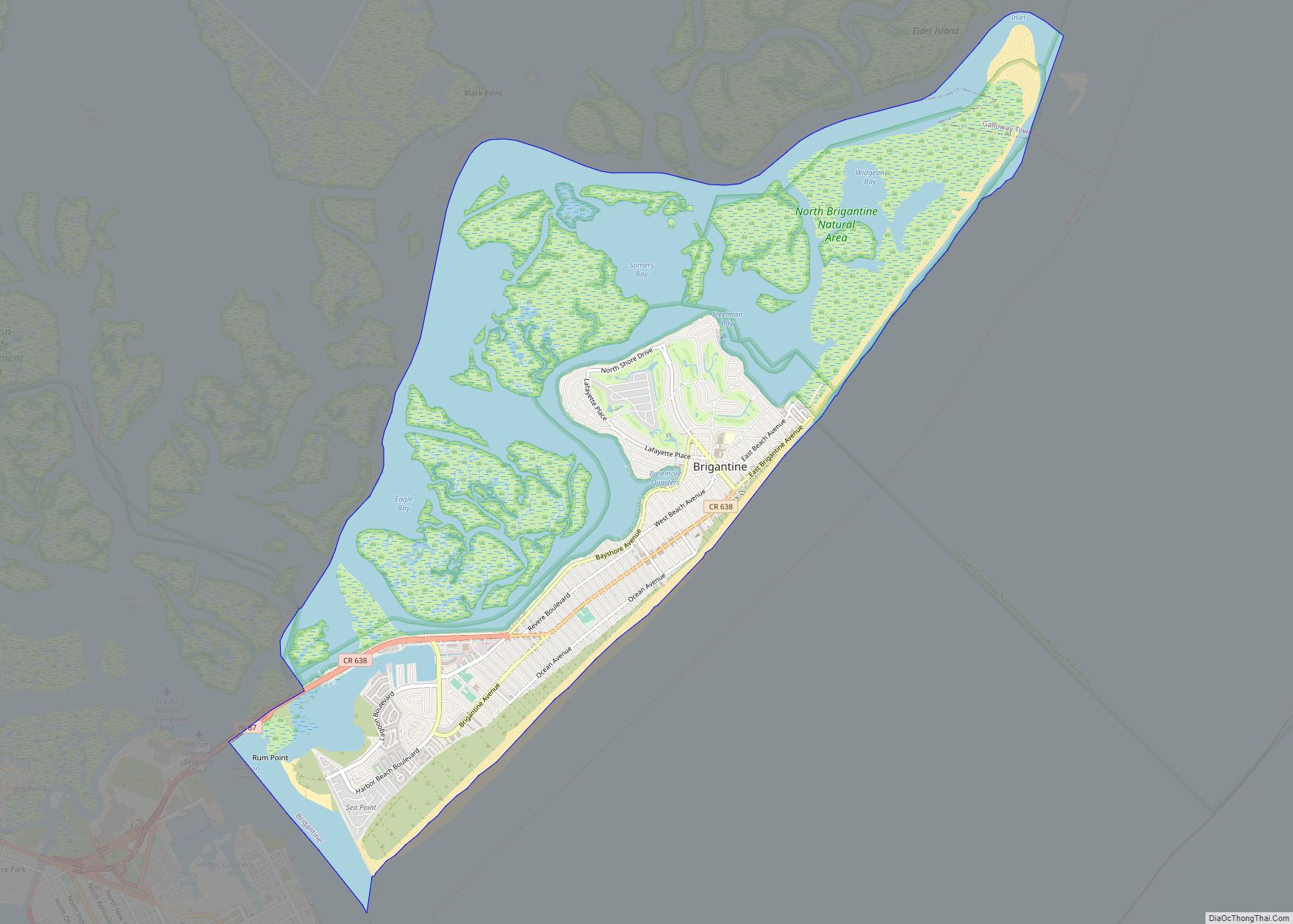
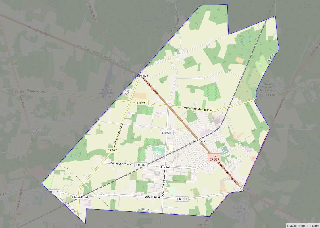
| County: | Atlantic County |
| Incorporated: | March 17, 1903 |
| Elevation: | 3 ft (0.9 m) |
| Total Area: | 3.52 sq mi (9.13 km²) |
| Land Area: | 1.96 sq mi (5.06 km²) |
| Water Area: | 1.57 sq mi (4.06 km²) 44.52% |
| Total Population: | 9,210 |
| Population Density: | 4,711.0/sq mi (1,818.9/km²) |
| ZIP code: | 08406 |
| Area code: | 609 |
| FIPS code: | 3475620 |
| GNISfeature ID: | 0885426 |
| Website: | www.ventnorcity.org |
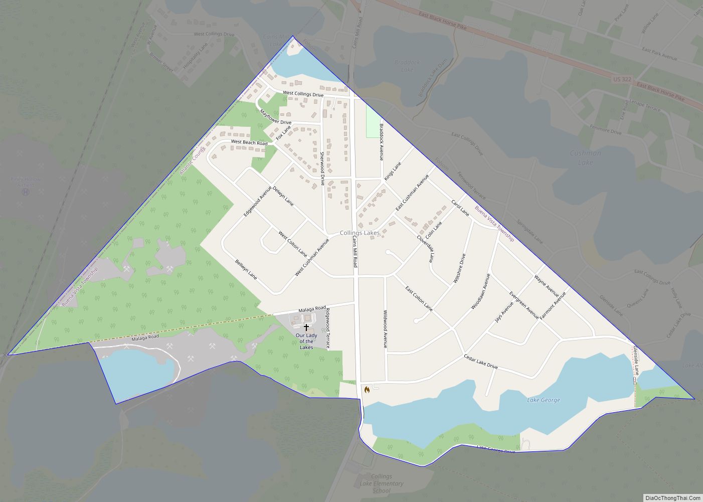
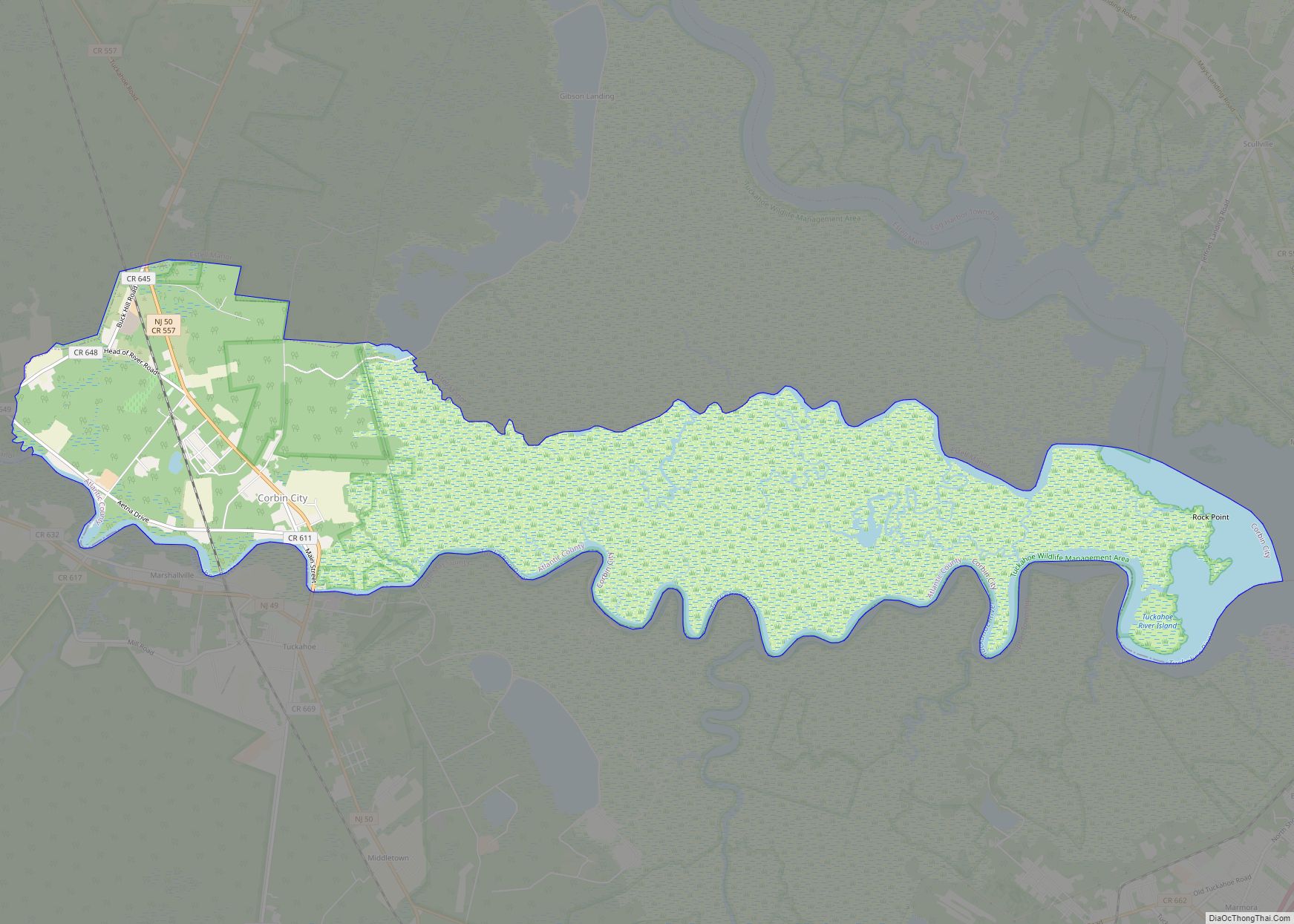
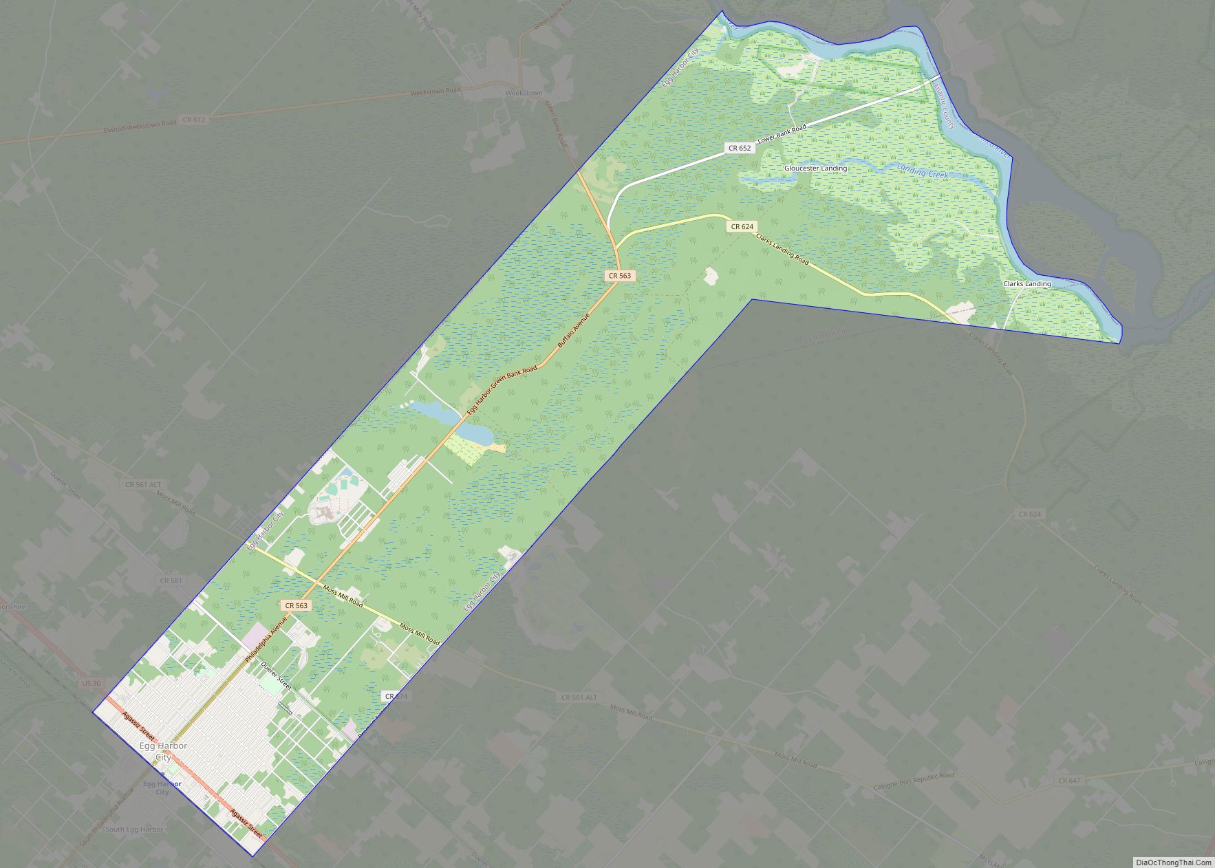
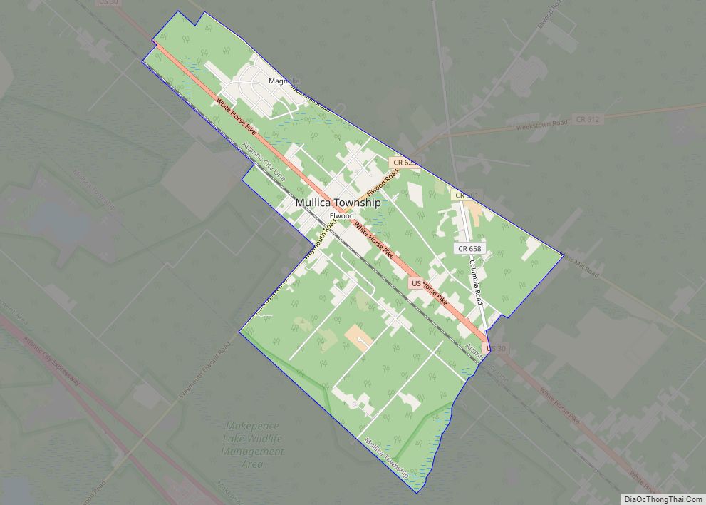
Online Interactive Map
Click on ![]() to view map in "full screen" mode.
to view map in "full screen" mode.
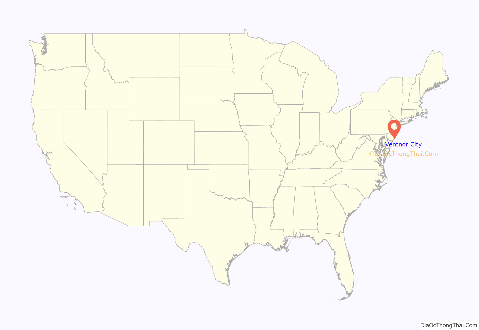
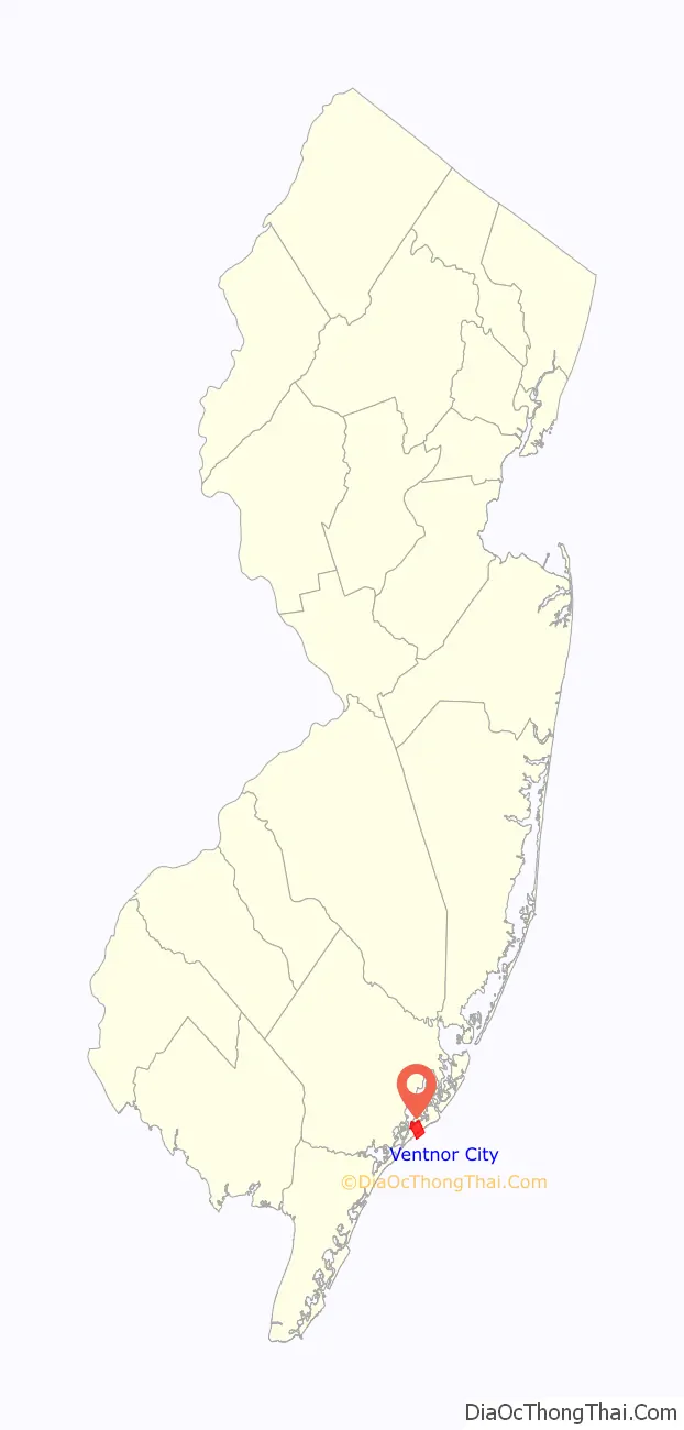
Ventnor City location map. Where is Ventnor City city?
History
S. Bartram Richards, the wife of the secretary-treasurer of the Camden and Atlantic Land Company, suggested the name “Ventnor” for the area then being developed by the company south of Atlantic City, having recently visited the English seaside resort on the Isle of Wight with the same name. The name was chosen in January 1889. The city was formally incorporated by the New Jersey Legislature on March 17, 1903.
Chapter 51 of the laws and Sessions of the State of New Jersey provided the beginning to Ventnor City stating,
The first meeting was held on April 20, 1903, in the Carisbrooke Inn, which was located behind the present City Hall, on Atlantic Avenue between Cambridge and Sacramento Avenues; Carisbrooke is also a place name taken from the Isle of Wight.
Ventnor City Road Map
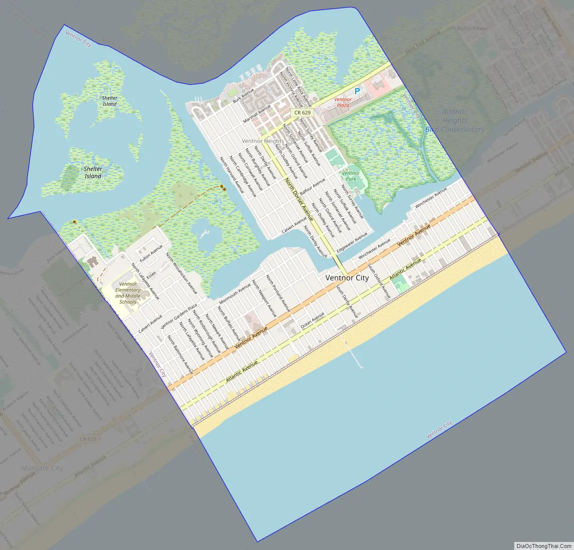
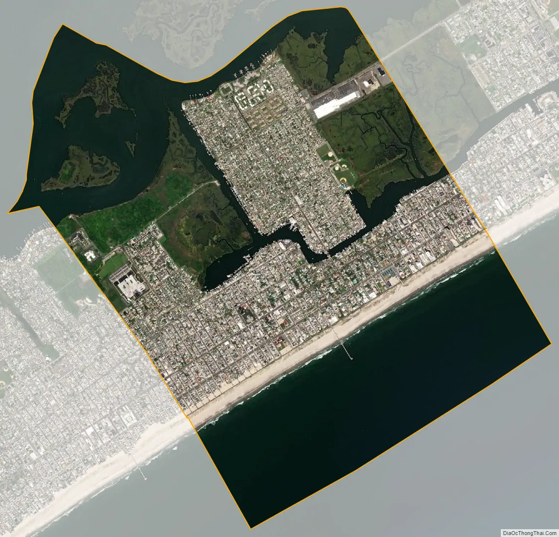
Ventnor City city Satellite Map
Geography
According to the United States Census Bureau, Ventnor City city had a total area of 3.52 square miles (9.13 km), including 1.96 square miles (5.07 km) of land and 1.57 square miles (4.06 km) of water (44.52%).
The city is located on 8.1-mile (13.0 km) long Absecon Island, along with Atlantic City to the northeast, and Margate City and Longport on the southwest. The boardwalk runs along the entire 1.7-mile (2.7 km) Ventnor City beach front and is connected to the Atlantic City Boardwalk. It ends at Ventnor City’s border with Margate City. The city borders Atlantic City and Margate City.
See also
Map of New Jersey State and its subdivision: Map of other states:- Alabama
- Alaska
- Arizona
- Arkansas
- California
- Colorado
- Connecticut
- Delaware
- District of Columbia
- Florida
- Georgia
- Hawaii
- Idaho
- Illinois
- Indiana
- Iowa
- Kansas
- Kentucky
- Louisiana
- Maine
- Maryland
- Massachusetts
- Michigan
- Minnesota
- Mississippi
- Missouri
- Montana
- Nebraska
- Nevada
- New Hampshire
- New Jersey
- New Mexico
- New York
- North Carolina
- North Dakota
- Ohio
- Oklahoma
- Oregon
- Pennsylvania
- Rhode Island
- South Carolina
- South Dakota
- Tennessee
- Texas
- Utah
- Vermont
- Virginia
- Washington
- West Virginia
- Wisconsin
- Wyoming