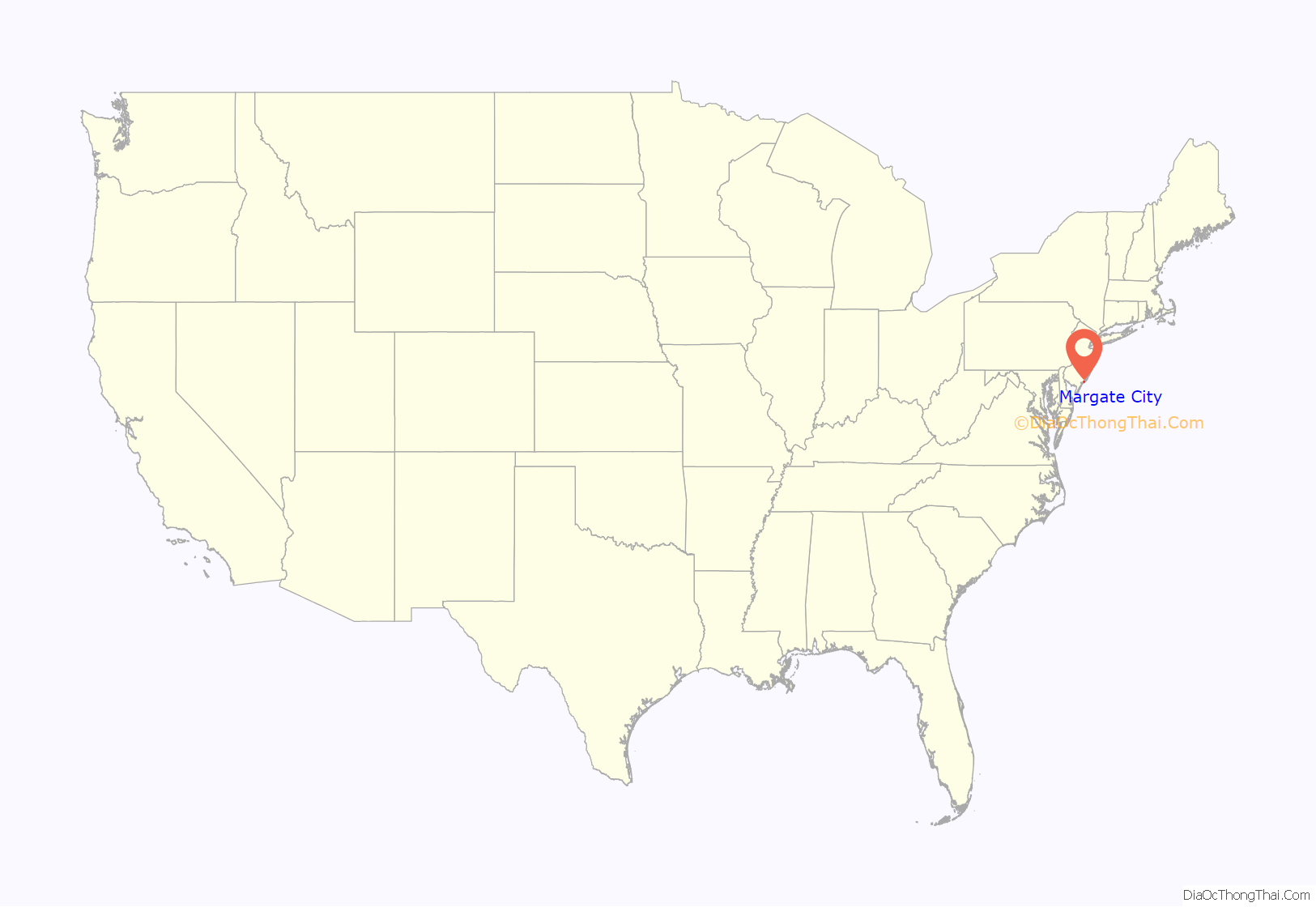
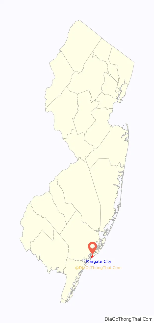
Margate City is a city situated on the Jersey Shore on Absecon Island, within Atlantic County, in the U.S. state of New Jersey, on the Atlantic Ocean shoreline. As of the 2020 United States census, the city’s population was 5,317, a decrease of 1,037 (−16.3%) from the 2010 census count of 6,354, which in turn had reflected a decline of 1,839 (−22.4%) from the 8,193 counted at the 2000 census. Geographically, the city, and all of Atlantic County, is part of the South Jersey region of the state and of the Atlantic City–Hammonton metropolitan statistical area, which in turn is included in the Philadelphia–Reading–Camden combined statistical area and the Delaware Valley.
Margate City was originally incorporated as the borough of South Atlantic City by an act of the New Jersey Legislature on September 7, 1885, from portions of Egg Harbor Township, based on the results of a referendum held on August 1, 1885. South Atlantic City was reincorporated as a city on April 23, 1897, and then reincorporated with the name Margate City on April 20, 1909. The city was named for Margate in Kent, England.
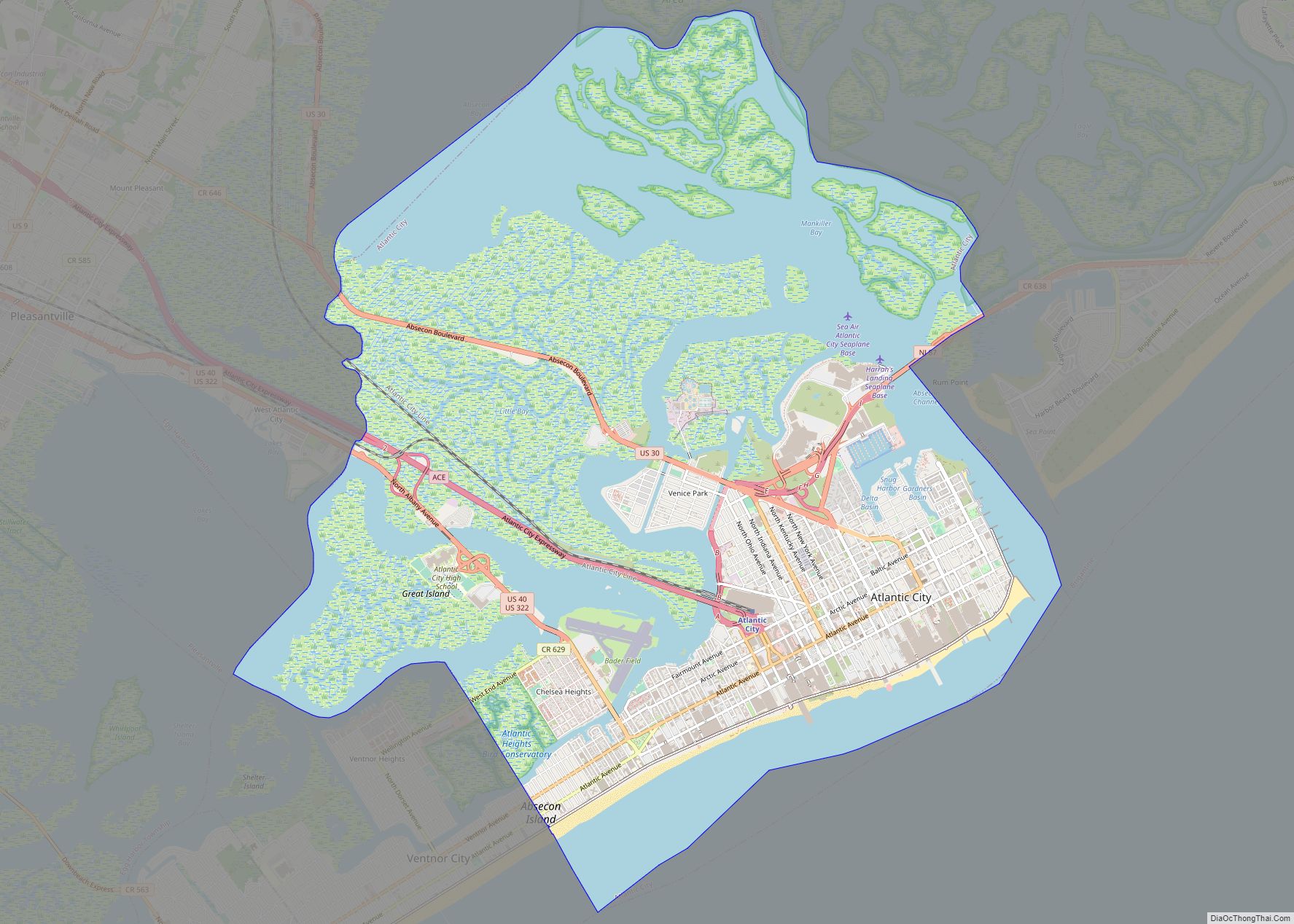
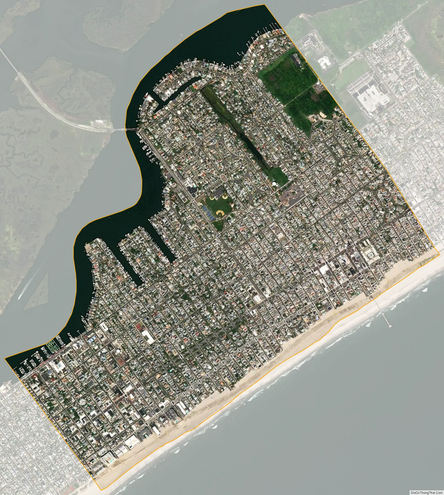
The city is located on Absecon Island, which stretches for 8.1 miles (13.0 km) and is also home of Atlantic City and Ventnor City to the northeast, and Longport on the southwest. The city stretches about eight blocks from the Atlantic Ocean to the bay at most points in town. Margate is a popular Jersey Shore destination, especially during the summer, and is the home of Lucy the Elephant, a 65-foot (20 m) wooden elephant, and of Marven Gardens, of Monopoly board game fame.
| Name: | Margate City city |
|---|---|
| LSAD Code: | 25 |
| LSAD Description: | city (suffix) |
| State: | New Jersey |
| County: | Atlantic County |
| Incorporated: | September 7, 1885 (as Borough of South Atlantic City) |
| Elevation: | 7 ft (2 m) |
| Total Area: | 1.63 sq mi (4.22 km²) |
| Land Area: | 1.42 sq mi (3.67 km²) |
| Water Area: | 0.21 sq mi (0.56 km²) 13.19% |
| Total Population: | 5,317 |
| Population Density: | 3,754.9/sq mi (1,449.8/km²) |
| ZIP code: | 08402 |
| Area code: | 609 |
| FIPS code: | 3443890 |
| GNISfeature ID: | 0885292 |
| Website: | www.margate-nj.com |
Online Interactive Map
Click on ![]() to view map in "full screen" mode.
to view map in "full screen" mode.
Margate City location map. Where is Margate City city?
Margate City Road Map
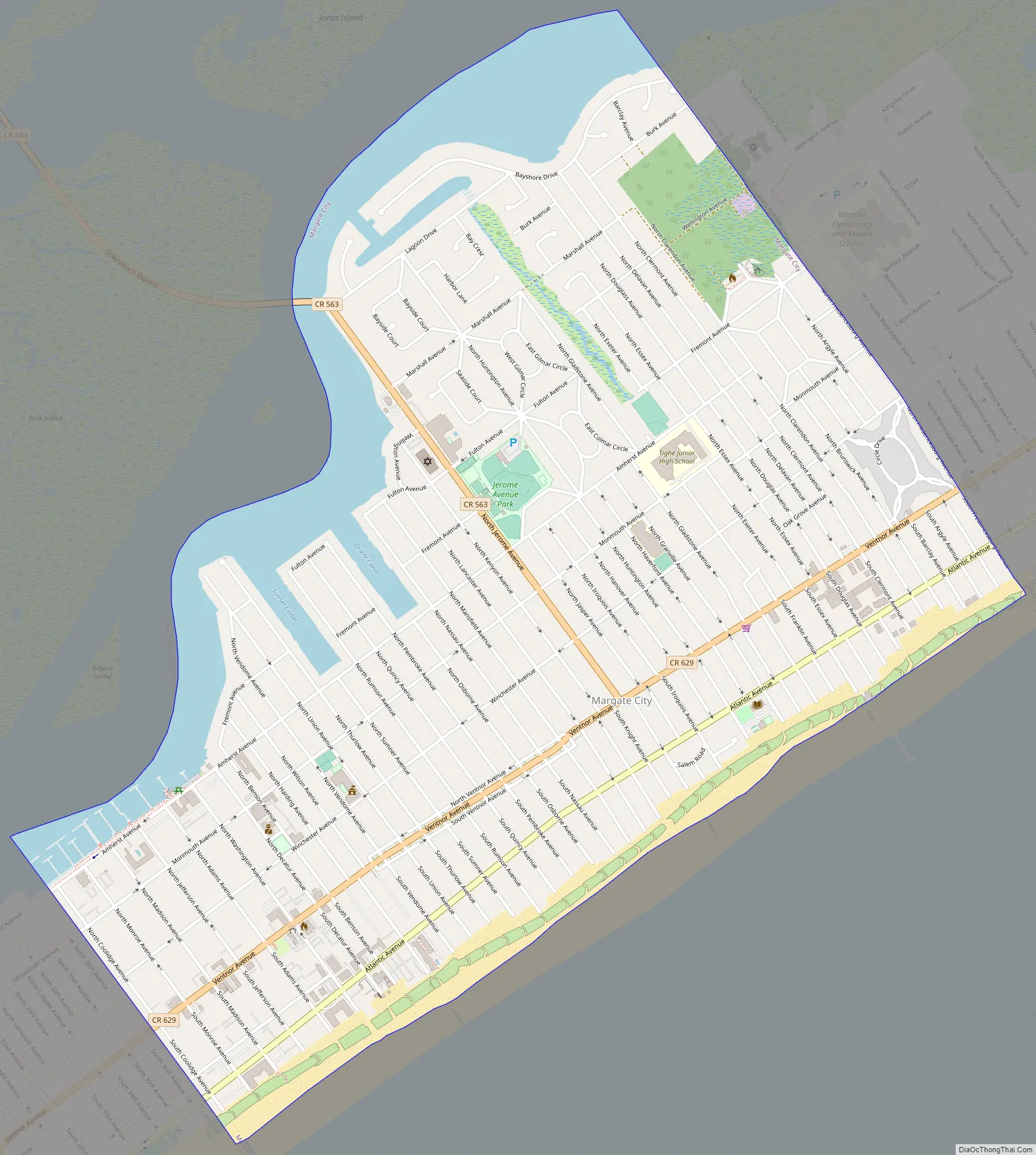
Margate City city Satellite Map
Geography
According to the United States Census Bureau, the city had a total area of 1.63 square miles (4.22 km), including 1.42 square miles (3.67 km) of land and 0.22 square miles (0.56 km) of water (13.19%).
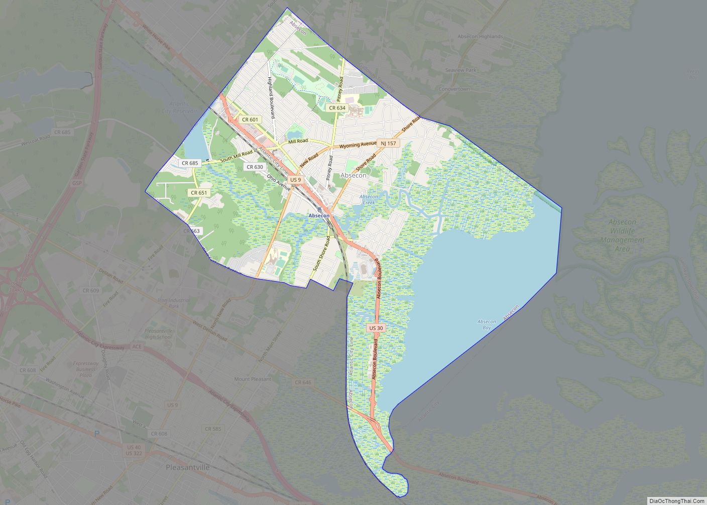
Margate City borders Longport and Ventnor City.
See also
Map of New Jersey State and its subdivision: Map of other states:- Alabama
- Alaska
- Arizona
- Arkansas
- California
- Colorado
- Connecticut
- Delaware
- District of Columbia
- Florida
- Georgia
- Hawaii
- Idaho
- Illinois
- Indiana
- Iowa
- Kansas
- Kentucky
- Louisiana
- Maine
- Maryland
- Massachusetts
- Michigan
- Minnesota
- Mississippi
- Missouri
- Montana
- Nebraska
- Nevada
- New Hampshire
- New Jersey
- New Mexico
- New York
- North Carolina
- North Dakota
- Ohio
- Oklahoma
- Oregon
- Pennsylvania
- Rhode Island
- South Carolina
- South Dakota
- Tennessee
- Texas
- Utah
- Vermont
- Virginia
- Washington
- West Virginia
- Wisconsin
- Wyoming