Longport is a borough situated on the Jersey Shore on Absecon Island, within Atlantic County, in the U.S. state of New Jersey, on the Atlantic Ocean shoreline. As of the 2020 United States census, the borough’s population was 893, a decrease of two people (−0.2%) from the 2010 census count of 895, which in turn reflected a decline of 159 (−15.1%) from the 1,054 counted in the 2000 census.
Geographically, the city, and all of Atlantic County, is part of the South Jersey region of the state and of the Atlantic City–Hammonton metropolitan statistical area, which in turn is included in the Philadelphia–Reading–Camden combined statistical area and the Delaware Valley.
In 2018, New Jersey Business Magazine listed Longport at 22nd in its listing of “The Most Expensive ZIP Codes in New Jersey”, with a median sale price 2017 of $767,500.
| Name: | Longport borough |
|---|---|
| LSAD Code: | 21 |
| LSAD Description: | borough (suffix) |
| State: | New Jersey |
| County: | Atlantic County |
| Incorporated: | March 7, 1898 |
| Elevation: | 0 ft (0 m) |
| Total Area: | 1.56 sq mi (4.03 km²) |
| Land Area: | 0.40 sq mi (1.02 km²) |
| Water Area: | 1.16 sq mi (3.01 km²) 74.49% |
| Total Population: | 893 |
| Population Density: | 2,259.8/sq mi (872.5/km²) |
| ZIP code: | 08403 |
| Area code: | 609 exchanges: 487, 822, 823 |
| FIPS code: | 3441370 |
| GNISfeature ID: | 0885286 |
| Website: | www.longportnj.gov |
Online Interactive Map
Click on ![]() to view map in "full screen" mode.
to view map in "full screen" mode.
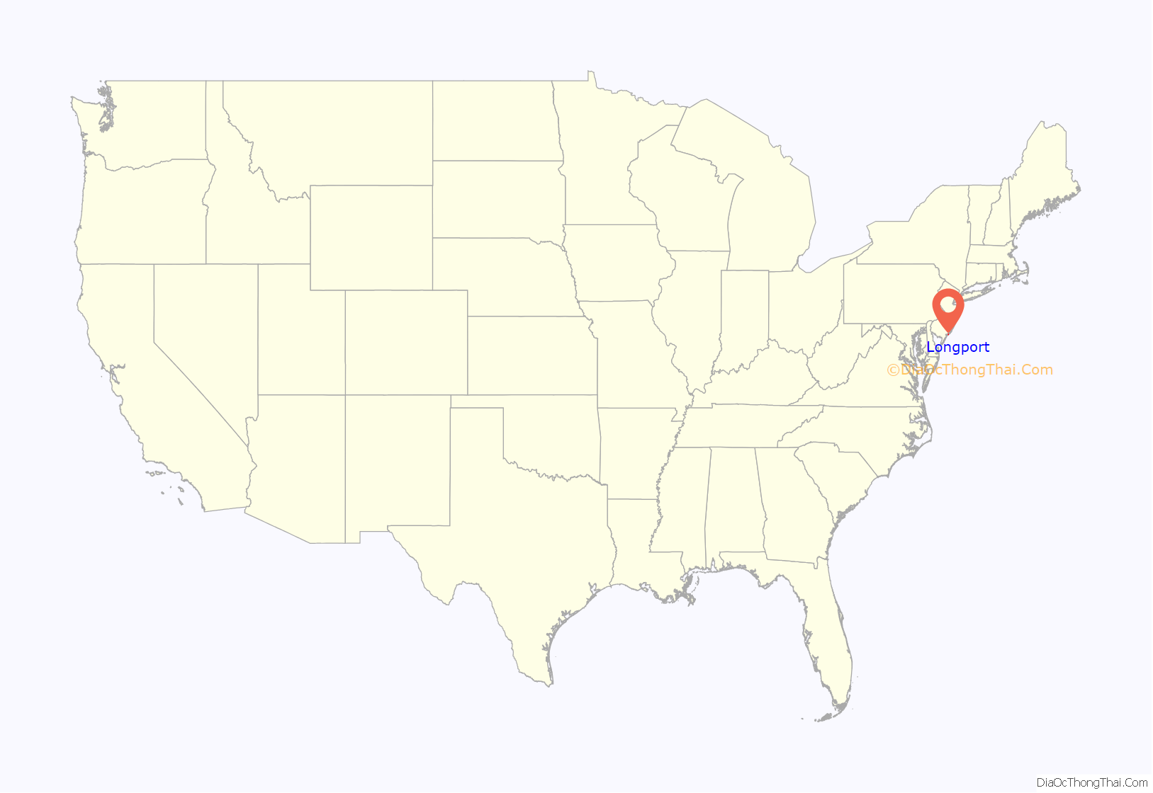
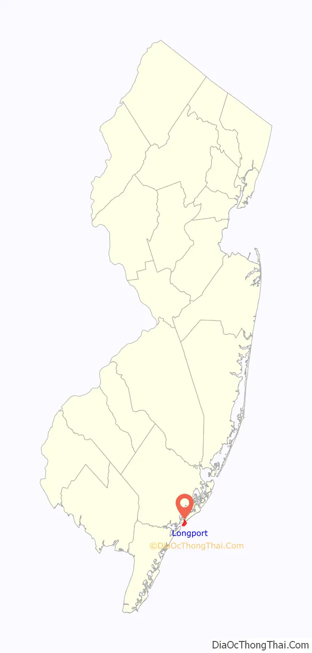
Longport location map. Where is Longport borough?
History
James Long, an absentee owner, purchased a parcel in 1857 that grew over the years as sand accumulated and as additional property was purchased. Acquired by M. Simpson McCullough in 1882, the community was named Longport in honor of Long.
Longport was incorporated as a borough by an act of the New Jersey Legislature on March 7, 1898, from portions of Egg Harbor Township.
In 2014, residents of Seaview Harbor, located across Beach Thorofare, submitted a petition to join neighboring Longport, citing lack of access to the rest of Egg Harbor Township and high taxes. In November 2016, the Township Committee voted to deny the secession plan. The plan has been brought before an appeals judge and the outcome is pending.
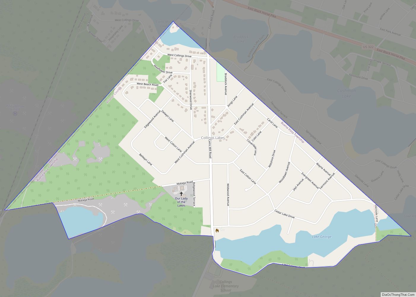
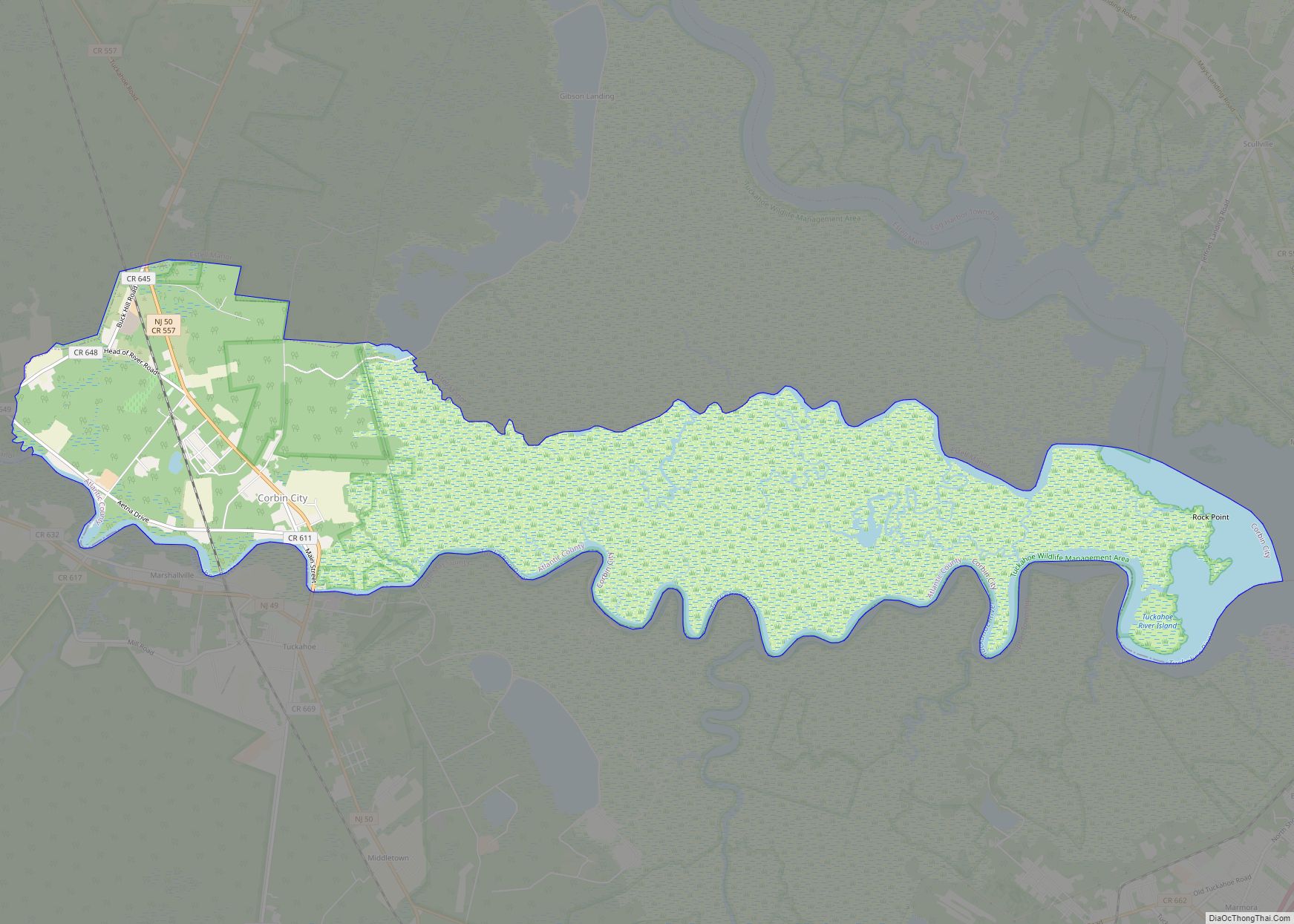
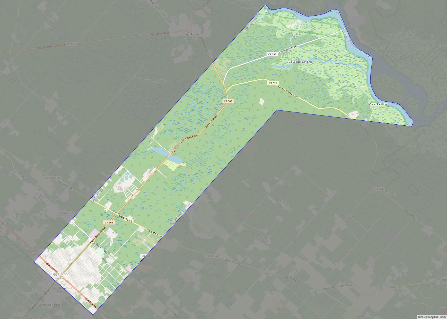
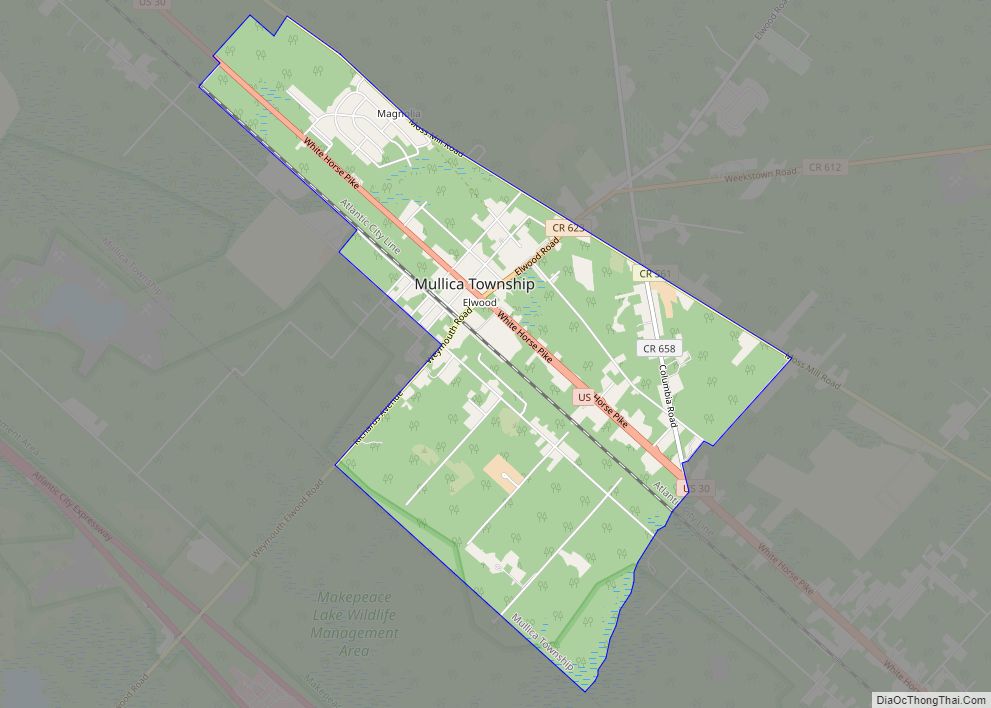
Longport Road Map

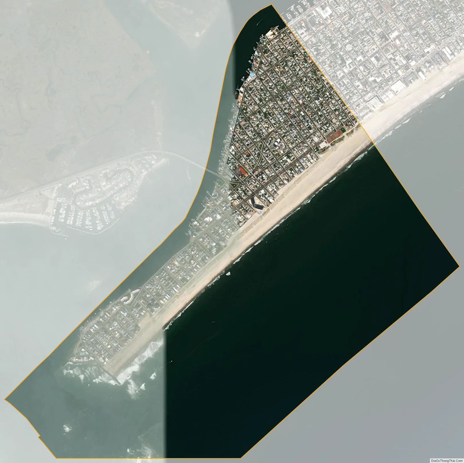
Longport city Satellite Map
Geography
According to the United States Census Bureau, the borough had a total area of 1.56 square miles (4.03 km), including 0.40 square miles (1.02 km) of land and 1.16 square miles (3.01 km) of water (74.49%).
Longport is located on the southwest corner of 8.1-mile (13.0 km) long Absecon Island, along with Margate City, Ventnor City and Atlantic City to the northeast.
Streets at the southern end of the borough start at 11th Avenue, as the 180 acres (73 ha) that made up the ten numbered streets below it were washed out on the barrier island by a series of storms between 1900 and 1916. The Great Egg Harbor Inlet shifted north, and Ocean City island was extended by what is now the Gardens neighborhood of that city.
See also
Map of New Jersey State and its subdivision: Map of other states:- Alabama
- Alaska
- Arizona
- Arkansas
- California
- Colorado
- Connecticut
- Delaware
- District of Columbia
- Florida
- Georgia
- Hawaii
- Idaho
- Illinois
- Indiana
- Iowa
- Kansas
- Kentucky
- Louisiana
- Maine
- Maryland
- Massachusetts
- Michigan
- Minnesota
- Mississippi
- Missouri
- Montana
- Nebraska
- Nevada
- New Hampshire
- New Jersey
- New Mexico
- New York
- North Carolina
- North Dakota
- Ohio
- Oklahoma
- Oregon
- Pennsylvania
- Rhode Island
- South Carolina
- South Dakota
- Tennessee
- Texas
- Utah
- Vermont
- Virginia
- Washington
- West Virginia
- Wisconsin
- Wyoming