East Williston is an incorporated village in the Town of North Hempstead in Nassau County, on Long Island, in New York, United States. The population was 2,556 at the 2010 census.
| Name: | East Williston village |
|---|---|
| LSAD Code: | 47 |
| LSAD Description: | village (suffix) |
| State: | New York |
| County: | Nassau County |
| Incorporated: | 1926 |
| Elevation: | 118 ft (36 m) |
| Total Area: | 0.57 sq mi (1.47 km²) |
| Land Area: | 0.57 sq mi (1.47 km²) |
| Water Area: | 0.00 sq mi (0.00 km²) |
| Population Density: | 4,648.51/sq mi (1,795.84/km²) |
| ZIP code: | 11596 |
| Area code: | 516 |
| FIPS code: | 3623217 |
| GNISfeature ID: | 0949275 |
| Website: | www.eastwilliston.org |
Online Interactive Map
Click on ![]() to view map in "full screen" mode.
to view map in "full screen" mode.
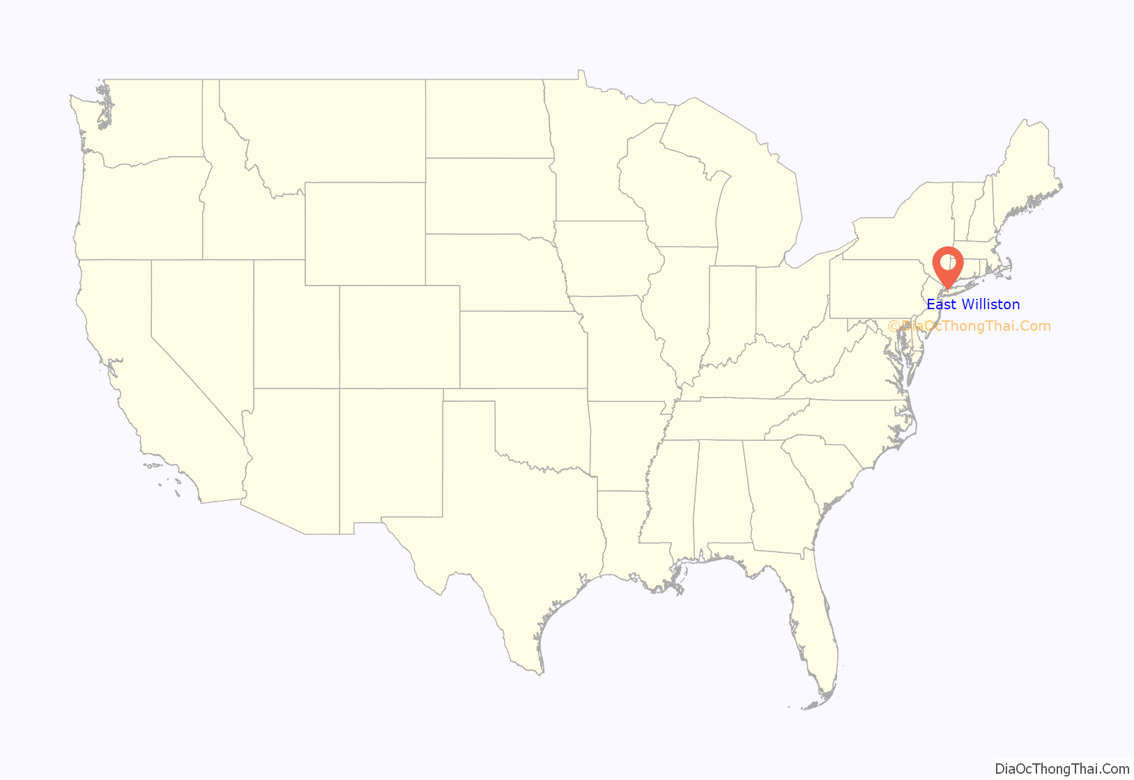
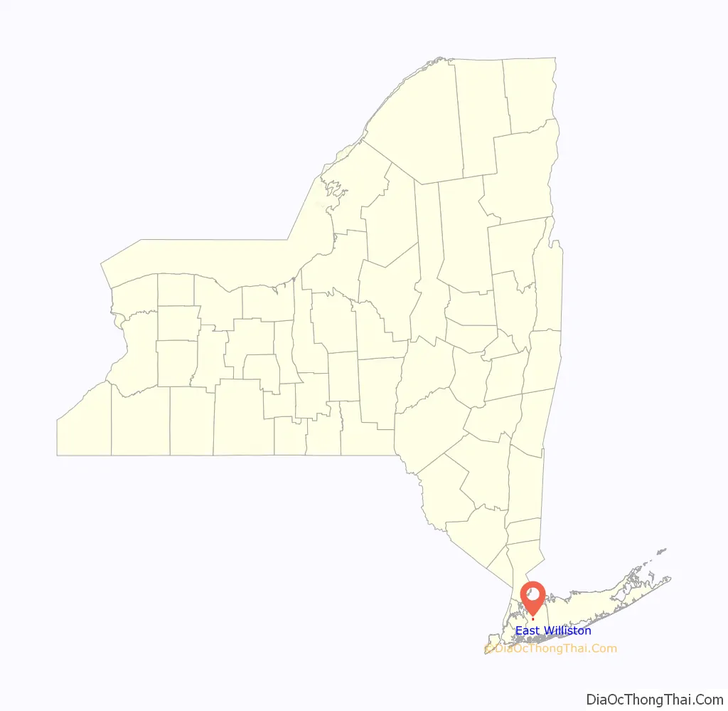
East Williston location map. Where is East Williston village?
History
Most of the farmland was owned by the Willis family in the 1800s. To be confused with the Willis areas of upstate New York, this area was known as East Williston. The original borders of the area known as East Williston stretched west towards Queens to Herricks Road, north to I.U. Willets Road, south to the Village of Mineola, and east to Bacon Road in Old Westbury.
The coming of the railroad in 1865 stimulated manufacturing in East Williston. The industries that grew as a result of the new train station included brick making, windmill making and carriage making. Henry M. Willis designed and built the popular East Williston Runabout Roadcart. This carriage had two wheels and two seats. Its soft suspension allowed comfortable travel over the rough roads of the time. There was also a feature which allowed the body to be locked to the axle, allowing the carriage to be used on the racetrack. Over 1,000 East Williston Runabout Roadcarts were built by Oakley and Griffin (who purchased the business from Willis in 1889).
The major east-west route, State Route 25B or Hillside Avenue, was formerly called East Williston Avenue, since it connected Queens with East Williston.The East Williston Union Free School District was founded in 1955. In 1985, the residential and commercial core of East Williston collectively known as the East Williston Village Historic District was designated a national historic district and listed on the National Register of Historic Places.
Although originally called Williston, the name of the area was changed to East Williston in 1879, when locals requested the United States Postal Service to open a local post office. Since there was already a community with a post office in Upstate New York using the name, locals added the word “East” to their community’s name; the name East Williston was in use for both this village and what is now the adjacent village of Williston Park.
In 1926, this eastern half of East Williston incorporated as a village. Its western half, Williston Park, incorporated separately that same year due to how both had very different characteristics.
East Williston Road Map

East Williston city Satellite Map

Geography
According to the United States Census Bureau, the village has a total area of 0.6 square miles (1.6 km), all land.
See also
Map of New York State and its subdivision:- Albany
- Allegany
- Bronx
- Broome
- Cattaraugus
- Cayuga
- Chautauqua
- Chemung
- Chenango
- Clinton
- Columbia
- Cortland
- Delaware
- Dutchess
- Erie
- Essex
- Franklin
- Fulton
- Genesee
- Greene
- Hamilton
- Herkimer
- Jefferson
- Kings
- Lake Ontario
- Lewis
- Livingston
- Madison
- Monroe
- Montgomery
- Nassau
- New York
- Niagara
- Oneida
- Onondaga
- Ontario
- Orange
- Orleans
- Oswego
- Otsego
- Putnam
- Queens
- Rensselaer
- Richmond
- Rockland
- Saint Lawrence
- Saratoga
- Schenectady
- Schoharie
- Schuyler
- Seneca
- Steuben
- Suffolk
- Sullivan
- Tioga
- Tompkins
- Ulster
- Warren
- Washington
- Wayne
- Westchester
- Wyoming
- Yates
- Alabama
- Alaska
- Arizona
- Arkansas
- California
- Colorado
- Connecticut
- Delaware
- District of Columbia
- Florida
- Georgia
- Hawaii
- Idaho
- Illinois
- Indiana
- Iowa
- Kansas
- Kentucky
- Louisiana
- Maine
- Maryland
- Massachusetts
- Michigan
- Minnesota
- Mississippi
- Missouri
- Montana
- Nebraska
- Nevada
- New Hampshire
- New Jersey
- New Mexico
- New York
- North Carolina
- North Dakota
- Ohio
- Oklahoma
- Oregon
- Pennsylvania
- Rhode Island
- South Carolina
- South Dakota
- Tennessee
- Texas
- Utah
- Vermont
- Virginia
- Washington
- West Virginia
- Wisconsin
- Wyoming


