Beggs is a city in Okmulgee County, Oklahoma, United States. The population was 1,179 as of the 2020 Census. Beggs was named for C.H. Beggs, vice president of the St. Louis-San Francisco (Frisco) Railway.
| Name: | Beggs city |
|---|---|
| LSAD Code: | 25 |
| LSAD Description: | city (suffix) |
| State: | Oklahoma |
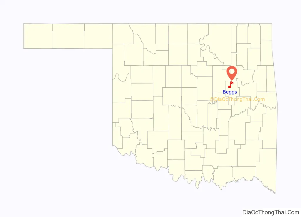
| County: | Okmulgee County |
| Elevation: | 738 ft (225 m) |
| Total Area: | 4.20 sq mi (10.88 km²) |
| Land Area: | 4.20 sq mi (10.87 km²) |
| Water Area: | 0.00 sq mi (0.01 km²) |
| Total Population: | 1,179 |
| Population Density: | 280.98/sq mi (108.49/km²) |
| ZIP code: | 74421 |
| FIPS code: | 4005000 |
| GNISfeature ID: | 1089974 |
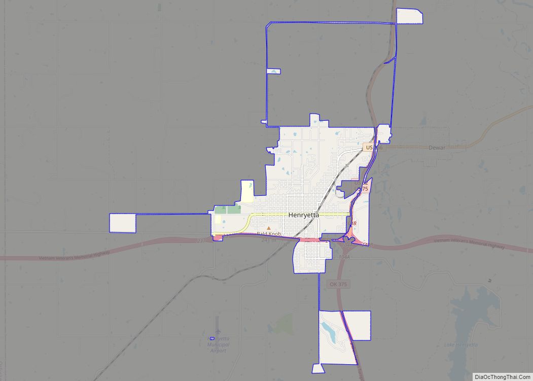
Online Interactive Map
Click on ![]() to view map in "full screen" mode.
to view map in "full screen" mode.
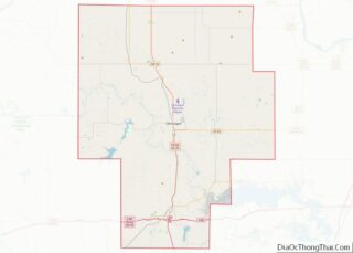
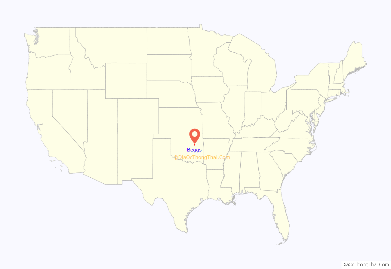
Beggs location map. Where is Beggs city?
History
Starting as a Frisco railroad stop in 1899, Beggs officially became a town on September 15, 1900, when its post office opened. It originally was a center for hog, cattle, and horse ranches in the area. In 1918, oil was discovered just to the west, and Beggs became an oil boomtown until circa 1926. After that, corn, cotton, pecans, and stock raising became important local industries, but Beggs went into a gradual decline, going from an official population of 2,327 in 1920 to 1,531 in 1930 and 1,107 in 1970. The population has since shown some upward fluctuation, settling at 1,179 as of the 2020 Census.
Isparhecher House and Grave is among the National Register of Historic Places listings in Okmulgee County, Oklahoma, and is located approximately four miles west of town off State Highway 16 on private land.
Despite its size, Beggs has at least seven churches.
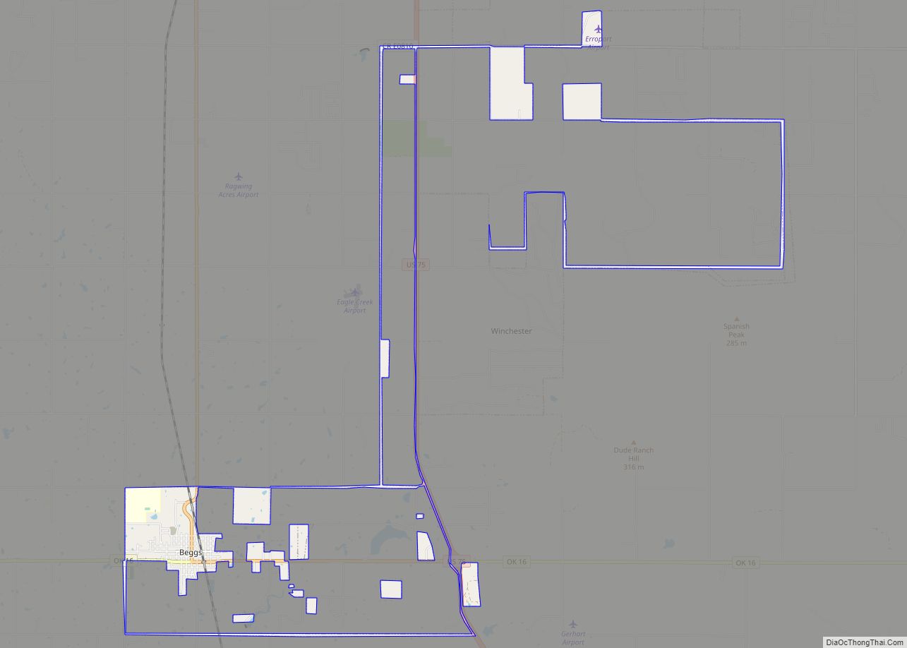
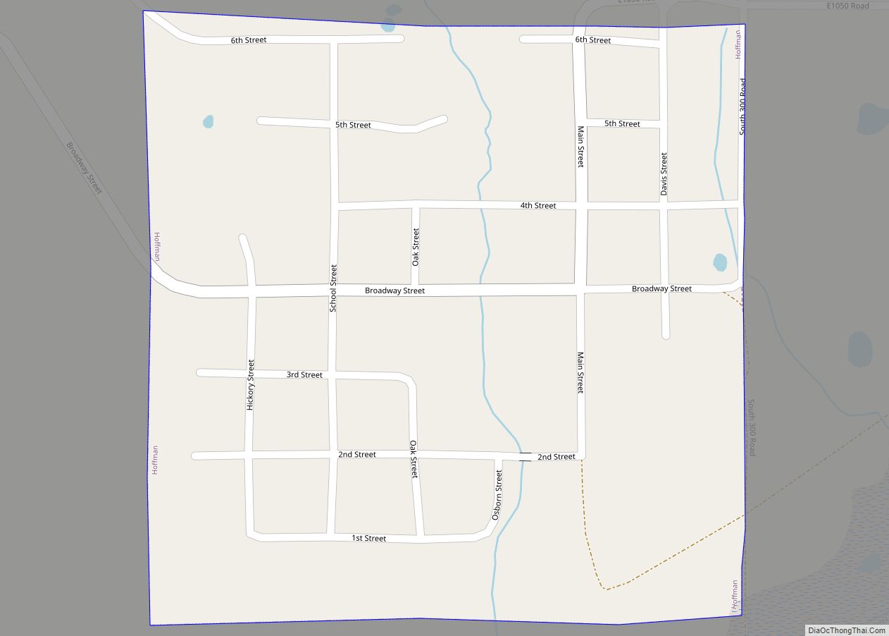
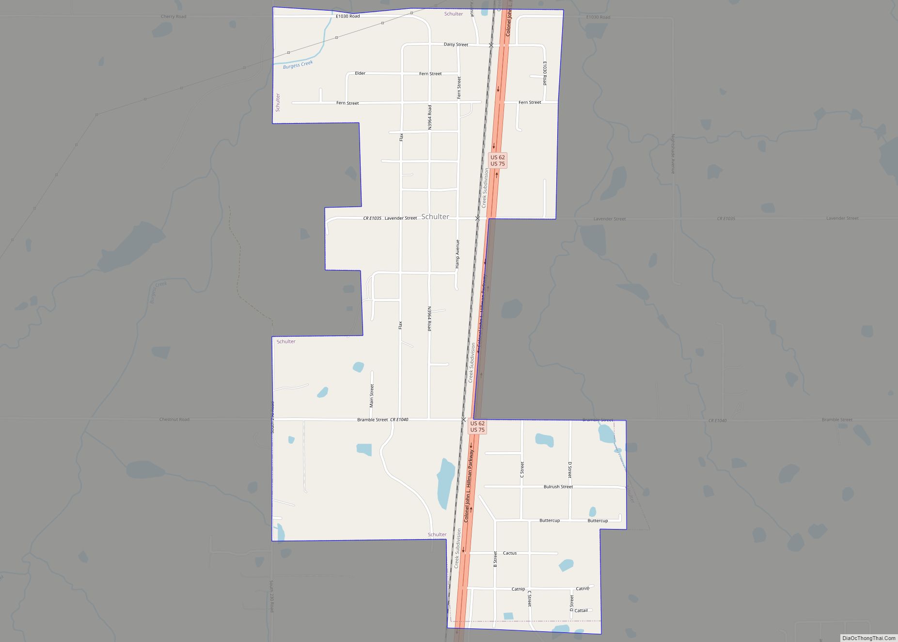
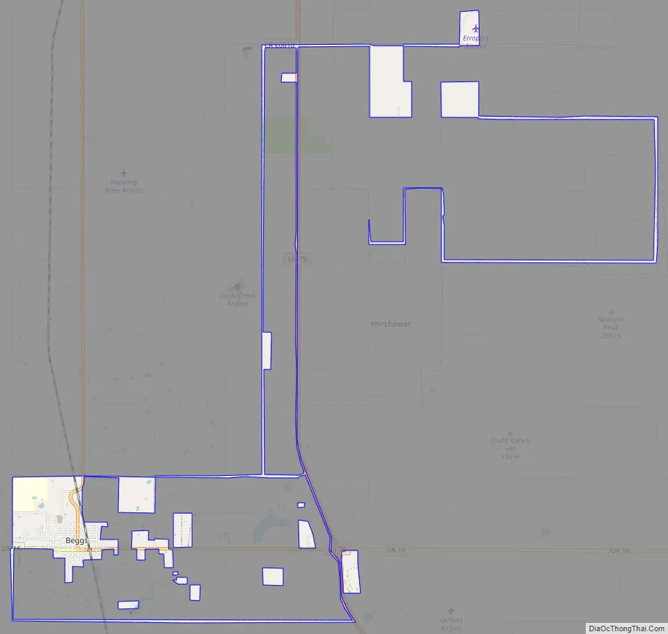
Beggs Road Map
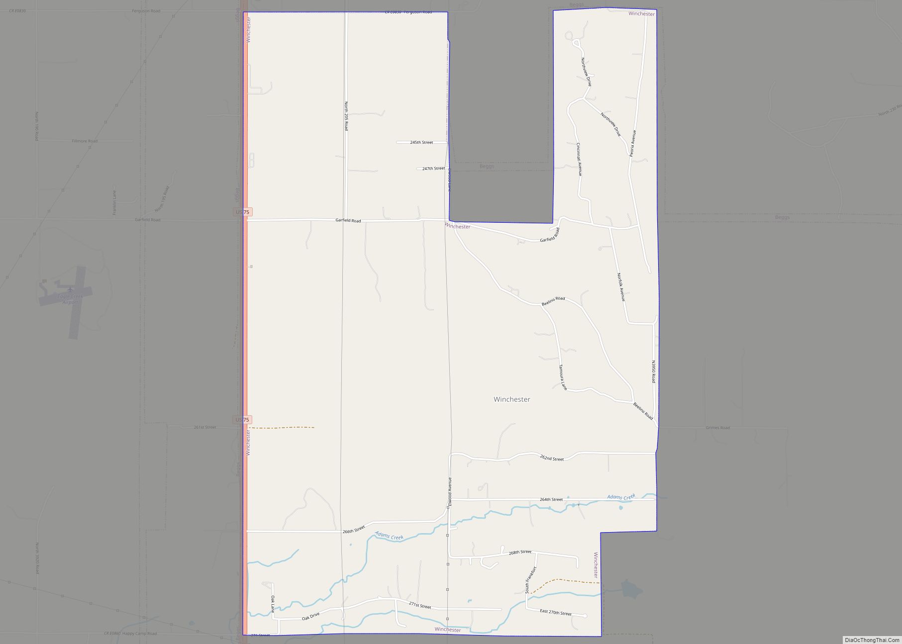
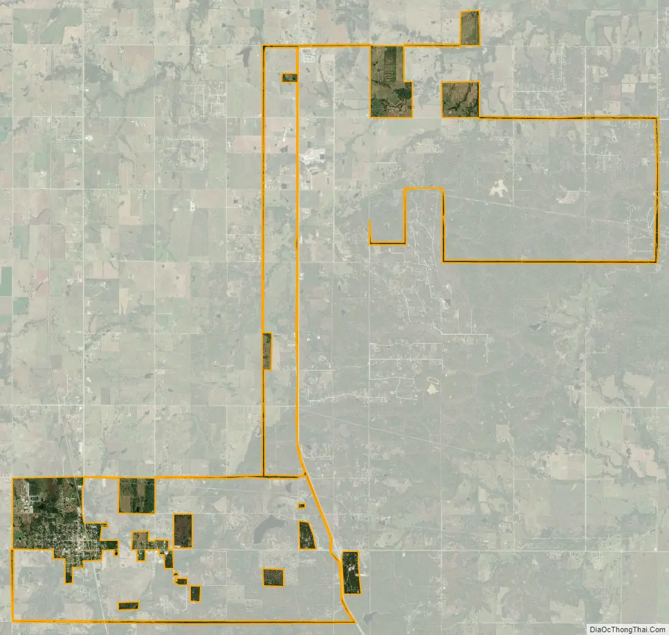
Beggs city Satellite Map
Geography
Beggs is located at 35°45′20″N 96°2′17″W / 35.75556°N 96.03806°W / 35.75556; -96.03806 (35.755595, −96.038052). That puts Beggs approximately 30 miles south of downtown Tulsa and four miles west of U.S. Route 75, a major national north–south artery. U.S. Route 75 Alternate, the only such bannered route stemming from U.S. Route 75, is largely along the former alignment of the old Highway 75 prior to 1959, and travels from U.S. 75 west to Beggs, along SH-16, before turning north along said former alignment and continuing to Sapulpa. The former alignment running directly south from Beggs to Okmulgee is known as Old Highway 75. The major east–west route through Beggs is Oklahoma State Highway 16.
According to the United States Census Bureau, the city has a total area of 4.3 square miles (11 km), all land.
See also
Map of Oklahoma State and its subdivision:- Adair
- Alfalfa
- Atoka
- Beaver
- Beckham
- Blaine
- Bryan
- Caddo
- Canadian
- Carter
- Cherokee
- Choctaw
- Cimarron
- Cleveland
- Coal
- Comanche
- Cotton
- Craig
- Creek
- Custer
- Delaware
- Dewey
- Ellis
- Garfield
- Garvin
- Grady
- Grant
- Greer
- Harmon
- Harper
- Haskell
- Hughes
- Jackson
- Jefferson
- Johnston
- Kay
- Kingfisher
- Kiowa
- Latimer
- Le Flore
- Lincoln
- Logan
- Love
- Major
- Marshall
- Mayes
- McClain
- McCurtain
- McIntosh
- Murray
- Muskogee
- Noble
- Nowata
- Okfuskee
- Oklahoma
- Okmulgee
- Osage
- Ottawa
- Pawnee
- Payne
- Pittsburg
- Pontotoc
- Pottawatomie
- Pushmataha
- Roger Mills
- Rogers
- Seminole
- Sequoyah
- Stephens
- Texas
- Tillman
- Tulsa
- Wagoner
- Washington
- Washita
- Woods
- Woodward
- Alabama
- Alaska
- Arizona
- Arkansas
- California
- Colorado
- Connecticut
- Delaware
- District of Columbia
- Florida
- Georgia
- Hawaii
- Idaho
- Illinois
- Indiana
- Iowa
- Kansas
- Kentucky
- Louisiana
- Maine
- Maryland
- Massachusetts
- Michigan
- Minnesota
- Mississippi
- Missouri
- Montana
- Nebraska
- Nevada
- New Hampshire
- New Jersey
- New Mexico
- New York
- North Carolina
- North Dakota
- Ohio
- Oklahoma
- Oregon
- Pennsylvania
- Rhode Island
- South Carolina
- South Dakota
- Tennessee
- Texas
- Utah
- Vermont
- Virginia
- Washington
- West Virginia
- Wisconsin
- Wyoming